Campston Hill
Hill, Mountain in Monmouthshire
Wales
Campston Hill
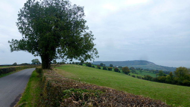
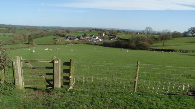
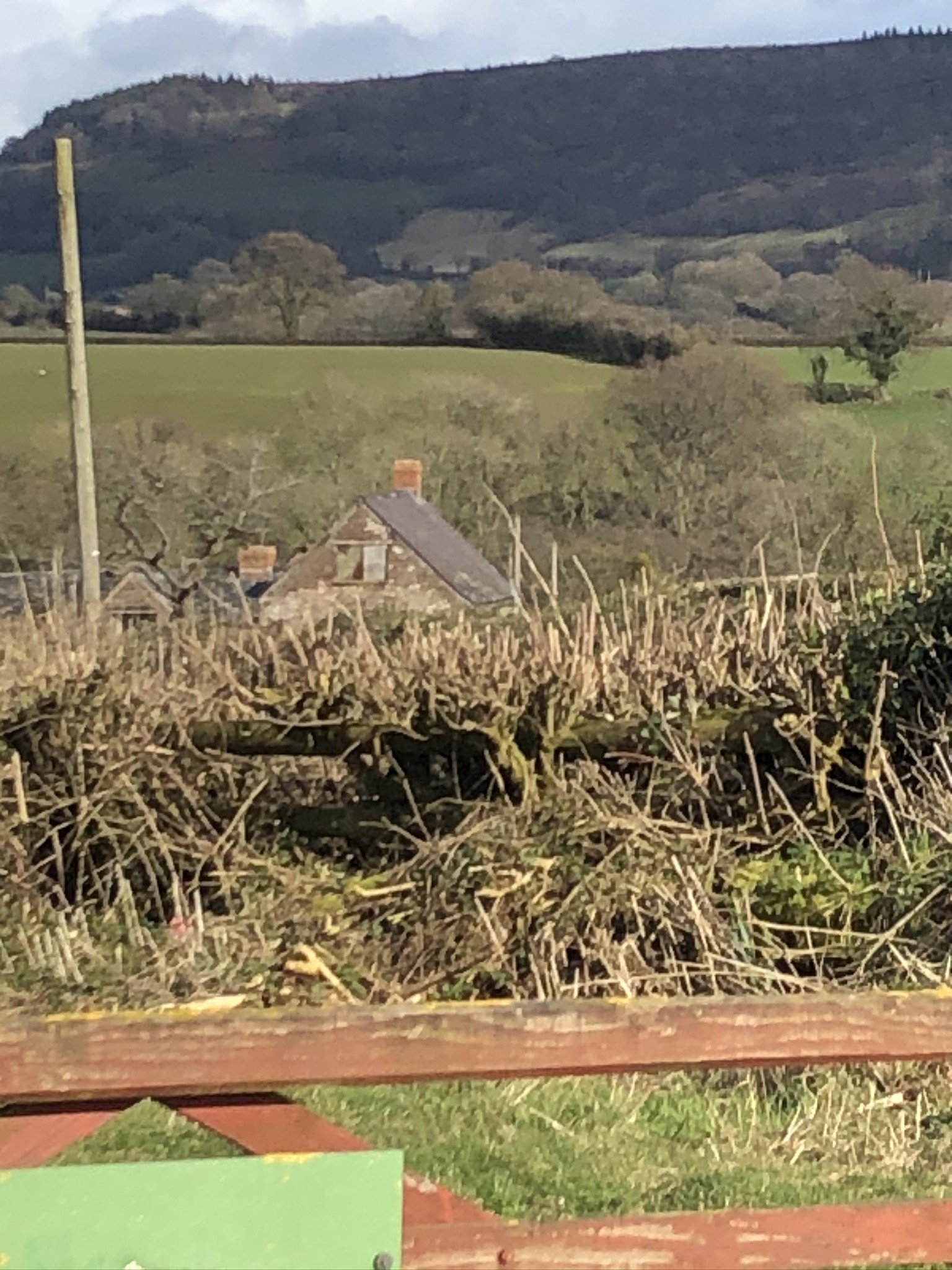
Campston Hill is a prominent natural feature located in Monmouthshire, Wales. Standing at an elevation of approximately 355 meters (1,165 feet) above sea level, it is classified as a hill or mountain depending on the context. Situated in the southeastern region of the county, Campston Hill is part of the wider landscape of the Wye Valley Area of Outstanding Natural Beauty.
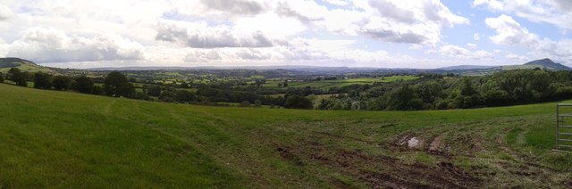
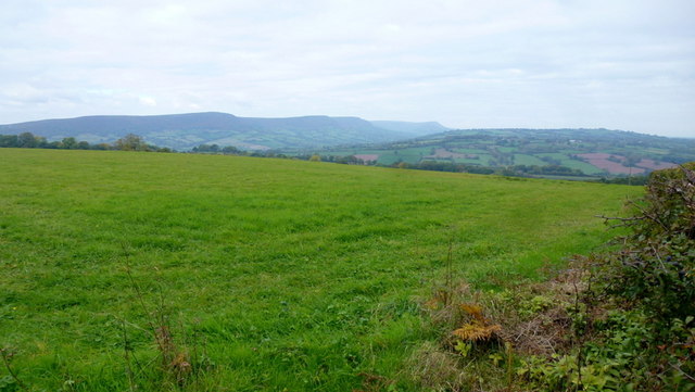
The hill is characterized by its distinctive shape, featuring a gently sloping southern face and a steeper northern slope. Its summit offers breathtaking panoramic views of the surrounding countryside, including the nearby towns of Monmouth and Tintern. The hill is primarily composed of sedimentary rocks, with layers of sandstone and shale forming its distinctive ridges and slopes.
Campston Hill is renowned for its rich biodiversity, hosting a variety of plant and animal species. The southern slopes are covered in lush grassland, while the northern slopes are dominated by dense woodland, providing a diverse range of habitats. Rare and protected species such as the dormouse and lesser horseshoe bat can be found in the area, making it an important site for conservation.
The hill is also of historical significance, with evidence of human activity dating back thousands of years. The remains of ancient settlements and burial mounds have been discovered, indicating that Campston Hill was inhabited during the Bronze Age and Iron Age. Additionally, the hill has played a role in more recent history, serving as a strategic vantage point during conflicts such as the English Civil War.
Campston Hill is a popular destination for outdoor enthusiasts, offering opportunities for hiking, nature walks, and birdwatching. Its picturesque surroundings, combined with its natural and historical significance, make it a cherished landmark in Monmouthshire.
If you have any feedback on the listing, please let us know in the comments section below.
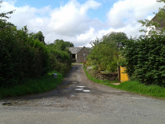
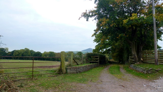
Campston Hill Images
Images are sourced within 2km of 51.896331/-2.9369932 or Grid Reference SO3522. Thanks to Geograph Open Source API. All images are credited.


Campston Hill is located at Grid Ref: SO3522 (Lat: 51.896331, Lng: -2.9369932)
Unitary Authority: Monmouthshire
Police Authority: Gwent
What 3 Words
///processor.relief.fell. Near Llancillo, Herefordshire
Nearby Locations
Related Wikis

The Gaer House
The Gaer House (Welsh: "Yr Ty Gaer" meaning 'The Fort House' or 'The House of the Fort') is an estate house located in the community of Gaer, Newport...

Pandy, Monmouthshire
Pandy is a hamlet in Monmouthshire, south east Wales, United Kingdom. == Location == Pandy is 5 miles (8 km) north of Abergavenny on the A465 road to Hereford...

Pandy railway station
Pandy railway station was a railway station which served the Monmouthshire village of Pandy. It was located on the Welsh Marches Line between Hereford...
Lower Celliau, Llangattock Lingoed
Lower Celliau, (aka Lower Kathlea/Lower Celli), Llangattock Lingoed, Monmouthshire is a farmhouse dating from the 16th century. It is a Grade II* listed...

River Honddu (Monmouthshire)
The River Honddu (Welsh: Afon Honddu) (pronounced hon-thee) is a river in the Black Mountains within the Brecon Beacons National Park, southeast Wales...
Llangattock Lingoed
Llangattock Lingoed (Welsh: Llangatwg Lingoed) is a small rural village in Monmouthshire, south east Wales. It is located approximately five miles north...

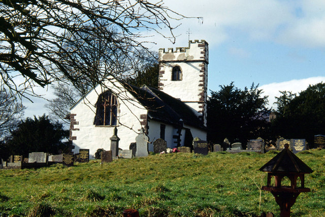
St Cadoc's Church, Llangattock Lingoed
The Church of St Cadoc, is the parish church of Llangattock Lingoed, Monmouthshire, Wales and sits in the centre of the village. It is in the Perpendicular...

Trewyn House
Trewyn House, Llanvihangel Crucorney, Monmouthshire, Wales, is a country house dating from 1692. Its origins are older but the present building was constructed...
Nearby Amenities
Located within 500m of 51.896331,-2.9369932Have you been to Campston Hill?
Leave your review of Campston Hill below (or comments, questions and feedback).