Cairn Hill
Hill, Mountain in Caithness
Scotland
Cairn Hill
Cairn Hill is a prominent landmark located in Caithness, a historic county in the northernmost part of mainland Scotland. Situated near the village of Halkirk, Cairn Hill is a hill/mountain that forms part of the Caithness Hills range. It stands at an elevation of approximately 529 meters (1,736 feet) above sea level, offering stunning panoramic views of the surrounding countryside.
The hill is predominantly composed of rugged moorland, with scattered patches of heather and grass covering its slopes. Its distinct shape and prominent position make it easily recognizable from a distance. Cairn Hill is a popular destination for outdoor enthusiasts, hikers, and nature lovers, who are drawn to its serene and picturesque setting.
The ascent to the summit of Cairn Hill involves a moderately challenging hike, with a well-defined path leading up the hillside. As hikers make their way up, they are treated to breathtaking views of the rolling Caithness landscape, scattered lochs, and the distant coastline. On clear days, it is even possible to catch glimpses of the Orkney Islands to the northeast.
At the top of Cairn Hill, there is a small cairn (pile of stones) that marks the summit. This marks a popular spot for visitors to rest, take photographs, and soak in the awe-inspiring vistas. The hill's isolated location and unspoiled natural beauty make it a peaceful and tranquil destination, providing a welcome escape from the hustle and bustle of modern life.
Overall, Cairn Hill in Caithness is a remarkable geological feature that offers visitors a chance to immerse themselves in the rugged beauty of the Scottish Highlands and enjoy the tranquility of its surroundings.
If you have any feedback on the listing, please let us know in the comments section below.
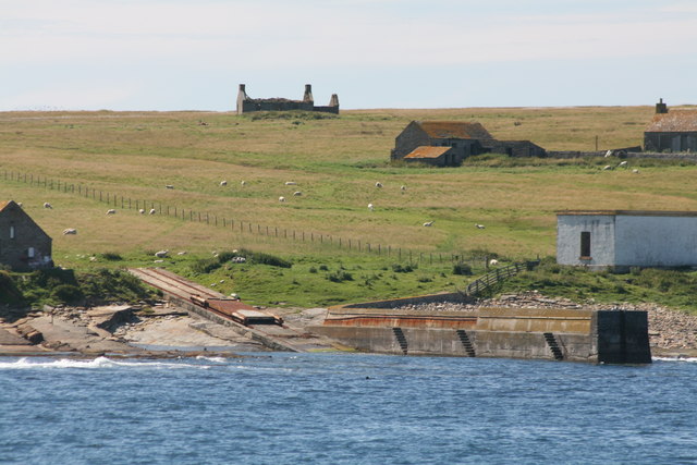
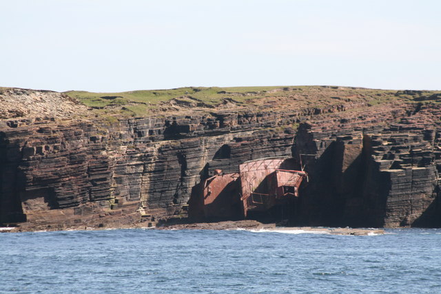
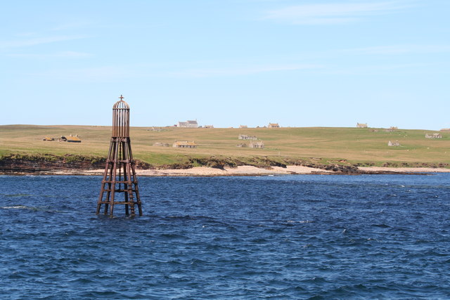
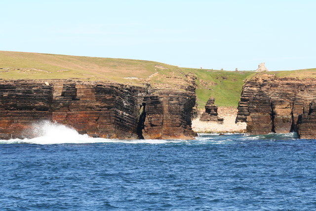
Cairn Hill Images
Images are sourced within 2km of 58.674437/-3.1125787 or Grid Reference ND3576. Thanks to Geograph Open Source API. All images are credited.


Cairn Hill is located at Grid Ref: ND3576 (Lat: 58.674437, Lng: -3.1125787)
Unitary Authority: Highland
Police Authority: Highlands and Islands
What 3 Words
///pythons.giggled.intruding. Near John o' Groats, Highland
Nearby Locations
Related Wikis

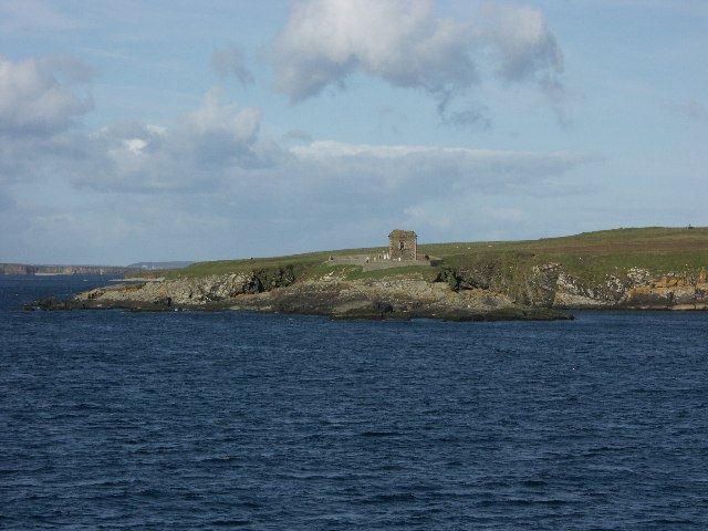
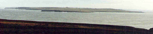
Island of Stroma
Stroma is an uninhabited island in the Pentland Firth, between Orkney and the mainland of Scotland. It forms part of the civil parish of Canisbay in Caithness...

MeyGen
MeyGen (full name MeyGen tidal energy project) will be the world's largest tidal energy plant, which is currently in construction. The first phase of the...
Huna House
Huna House is a Victorian building located in the small village of Huna in Canisbay, north of Caithness. Built in 1870 as the Huna Hotel, it is listed...

Gills Bay
Gills Bay, which is situated about 3 mi (4.8 km) west of John o' Groats with the community of Gills close by, has one of the longest stretches of low-lying...

Huna, Caithness
Huna is a small remote crofting township, located 1 mile northeast of Canisbay and 1.5 miles west of John o' Groats in Caithness, in Scotland. It is currently...

Canisbay Parish Church
Canisbay Parish Church is a Church of Scotland church in Canisbay, Scotland, that dates back to the early 1600s and is the most northernly church on mainland...

John o' Groats
John O' Groats (Scottish Gaelic: Taigh Iain Ghròt) is a village 2.5 mi (4 km) northeast of Canisbay, Caithness, in the far north of Scotland. John O' Groats...

SM U-29 (Germany)
SM U-29 was a Type U-27 U-boat of the Imperial German Navy. She served during the First World War. U-29's last commander was Captain Otto Weddigen. U-29...
Nearby Amenities
Located within 500m of 58.674437,-3.1125787Have you been to Cairn Hill?
Leave your review of Cairn Hill below (or comments, questions and feedback).