Stubholm Hill

Hill, Mountain in Dumfriesshire

Scotland

Stubholm Hill

Kirk Wynd View Taken from the top of Kirk Wynd looking over the town of Langholm.
Kirk Wynd View Credit: Colin Kinnear

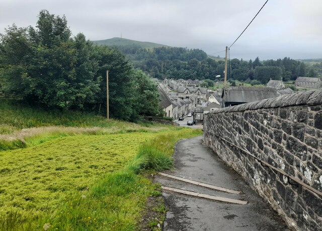
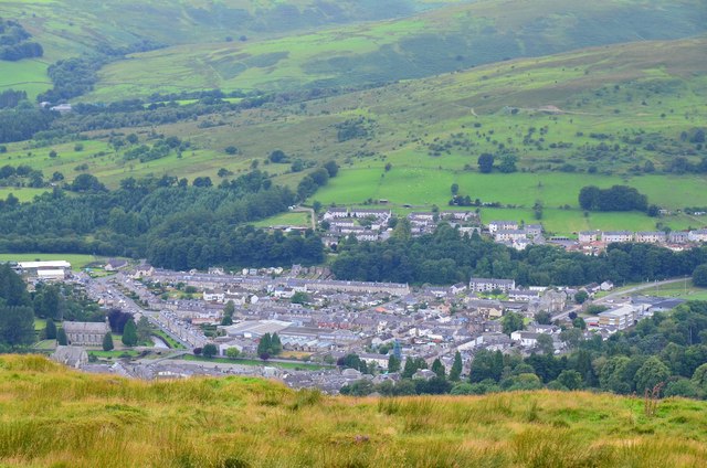
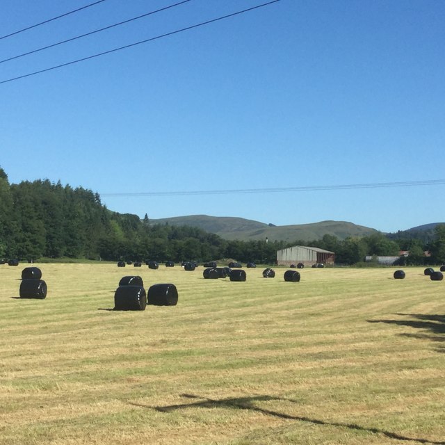
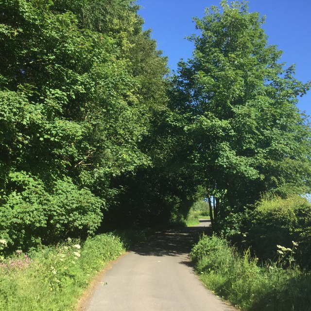
Stubholm Hill, located in Dumfriesshire, Scotland, is a prominent hill that stands at an elevation of approximately 307 meters (1,007 feet). Situated in the southern part of the country, it forms part of the picturesque landscape of the region. The hill is a popular destination for hikers and nature enthusiasts, offering breathtaking panoramic views of the surrounding countryside.

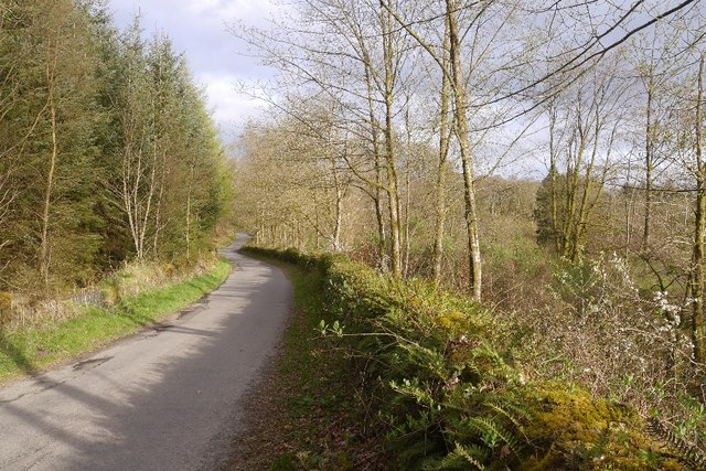
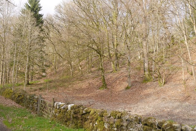
Covered in lush green vegetation, Stubholm Hill boasts a diverse range of plant and animal species, making it an important ecological site. The hill is home to various bird species, including peregrine falcons, buzzards, and kestrels, which can often be spotted soaring above its slopes. The surrounding woodlands provide a habitat for deer, foxes, and badgers, adding to the area's natural beauty.

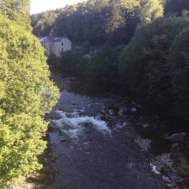
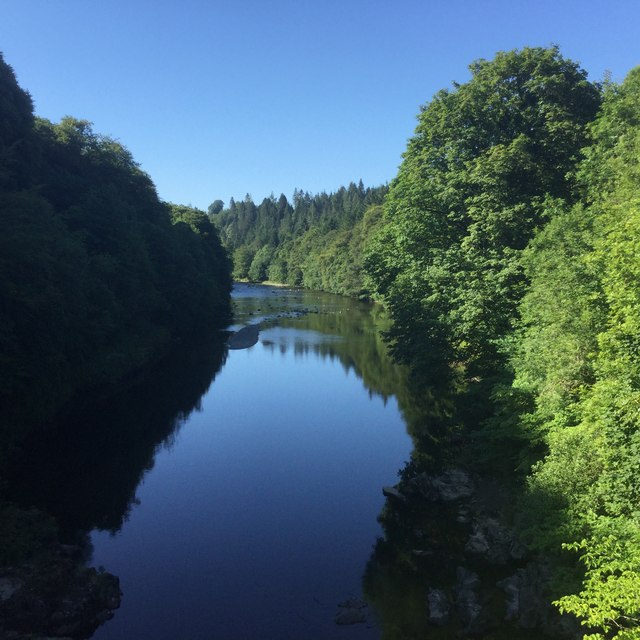
The ascent to the summit of Stubholm Hill is relatively easy, with well-marked trails and paths leading up to the top. Once there, visitors are rewarded with stunning vistas of the rolling hills, expansive farmland, and nearby bodies of water, such as the River Nith. On clear days, the views stretch as far as the distant hills of the Lake District.

For those interested in local history, Stubholm Hill also holds significance. The hill is believed to have been a site of ancient settlements, with archaeological evidence suggesting human activity dating back thousands of years. These remnants serve as a reminder of the area's rich cultural heritage.

In conclusion, Stubholm Hill in Dumfriesshire is a magnificent natural landmark, offering visitors a chance to immerse themselves in the region's beauty and history. Its accessible trails, diverse wildlife, and breathtaking vistas make it a must-visit destination for outdoor enthusiasts and those seeking a connection with Scotland's natural wonders.

If you have any feedback on the listing, please let us know in the comments section below.

Stubholm Hill Images

Images are sourced within 2km of 55.135264/-3.0120184 or Grid Reference NY3582. Thanks to Geograph Open Source API. All images are credited.

Kirk Wynd View Taken from the top of Kirk Wynd looking over the town of Langholm.
Kirk Wynd View
Taken from the top of Kirk Wynd looking over the town of Langholm.
A7 towards Langholm
A7 towards Langholm
Eskdale Hotel, Langholm
Pelosis Corner Cafe My spell checker keeps throwing in an apostrophe which is probably correct. Centre of Langholm.
Pelosis Corner Cafe
My spell checker keeps throwing in an apostrophe which is probably correct. Centre of Langholm.
Kirk Wynd, Langholm A side road leading up from the High Street, and start of the walk up Whita Hill. The bunting is up from the Common Riding event in the last week of July.
Kirk Wynd, Langholm
A side road leading up from the High Street, and start of the walk up Whita Hill. The bunting is up from the Common Riding event in the last week of July.
Langholm from Whita Hill summit The part of Langholm west of the River Esk seen from the summit of Whita Hill (355m).
Langholm from Whita Hill summit
The part of Langholm west of the River Esk seen from the summit of Whita Hill (355m).
B6318 The B6318 has been closed for a long time, but this bit was accessible from Langholm.  We have family connections here so were having a quick look around during a long journey home.
B6318
The B6318 has been closed for a long time, but this bit was accessible from Langholm. We have family connections here so were having a quick look around during a long journey home.
Beechwood near Langholm Woodland between road and the Waverley Line trackbed.
Beechwood near Langholm
Woodland between road and the Waverley Line trackbed.
Back of the Town Hall A narrow street in Langholm.
Back of the Town Hall
A narrow street in Langholm.
Douglas Hotel, Langholm
Round bales near Langholm Wrapped silage beside the Esk.
Round bales near Langholm
Wrapped silage beside the Esk.
River Esk, Langholm Upstream from Skipper’s Bridge.
River Esk, Langholm
Upstream from Skipper’s Bridge.
River Esk Downstream of Skipper’s Bridge.
River Esk
Downstream of Skipper’s Bridge.
Cemetery Road, Langholm Winds its way up to the cemetery from the A7 near Skipper’s Bridge.
Cemetery Road, Langholm
Winds its way up to the cemetery from the A7 near Skipper’s Bridge.
Old Milestone by Charles Street Old, Langholm Stone post by the UC road, in parish of Langholm, (District), Charles Street Old leading to old ford and ferry, in wall, South side of road.

Inscription not recorded.

Surveyed

Milestone Society National ID: DG_DFLG33
Old Milestone by Charles Street Old, Langholm
Stone post by the UC road, in parish of Langholm, (District), Charles Street Old leading to old ford and ferry, in wall, South side of road. Inscription not recorded. Surveyed Milestone Society National ID: DG_DFLG33
Old Milestone by the A7, High Street, Langholm Milestone by the A7, in parish of Langholm (Dunfermline District), Langholm Townfoot, between 118 and 120 High Street.

Surveyed

Milestone Society National ID: DG_EDCL73
Old Milestone by the A7, High Street, Langholm
Milestone by the A7, in parish of Langholm (Dunfermline District), Langholm Townfoot, between 118 and 120 High Street. Surveyed Milestone Society National ID: DG_EDCL73
Former Tollhouse by the A7, Townfoot, Langholm Townfoot Toll House by the A7, in parish of Langholm (Dumfries and Galloway District), Tollbar Cottage, Townfoot.

HES Scotland Category 'B' listed.
Reference: LB37135 <span class="nowrap"><a title="http://portal.historicenvironment.scot/designation/LB37135" rel="nofollow ugc noopener" href="http://portal.historicenvironment.scot/designation/LB37135">Link</a><img style="margin-left:2px;" alt="External link" title="External link - shift click to open in new window" src="https://s1.geograph.org.uk/img/external.png" width="10" height="10"/></span>

Surveyed

Milestone Society National ID: DG.LAN02
Former Tollhouse by the A7, Townfoot, Langholm
Townfoot Toll House by the A7, in parish of Langholm (Dumfries and Galloway District), Tollbar Cottage, Townfoot. HES Scotland Category 'B' listed. Reference: LB37135 LinkExternal link Surveyed Milestone Society National ID: DG.LAN02
Charles Street, Langholm From the Thomas Hope Hospital towards the River Esk.
Charles Street, Langholm
From the Thomas Hope Hospital towards the River Esk.
Show me another place!

Stubholm Hill is located at Grid Ref: NY3582 (Lat: 55.135264, Lng: -3.0120184)

Unitary Authority: Dumfries and Galloway

Police Authority: Dumfries and Galloway

What 3 Words

///scam.usual.slugs. Near Langholm, Dumfries & Galloway

Nearby Locations

Warb Law Stubholm Hill

Related Wikis

Wauchope Castle

Wauchope Castle was a castle located at Wauchope, in Dumfries and Galloway, Scotland. The castle was a stronghold of the Lindsay family. It was the caput...

Langholm railway station

Langholm railway station served the burgh of Langholm, Dumfries and Galloway, Scotland from 1864 to 1967 on the Border Union Railway. == History == The...

Battle of Arkinholm

The Battle of Arkinholm was fought on 1 May 1455, at Arkinholm near Langholm in Scotland, during the reign of King James II of Scotland. Although a small...

Thomas Hope Hospital

Thomas Hope Hospital is a health facility in Strand Street, Langholm, Dumfries and Galloway, Scotland. It is managed by NHS Dumfries and Galloway. ��2...

Langholm Town Hall

Langholm Town Hall is a municipal building in the High Street in Langholm, Dumfries and Galloway, Scotland. The structure, which is used as a community...
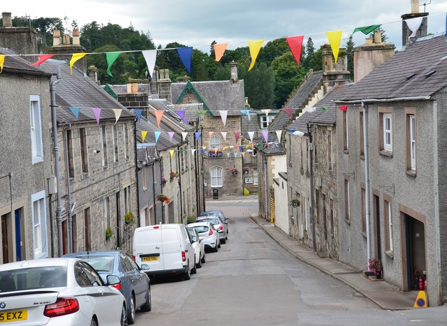
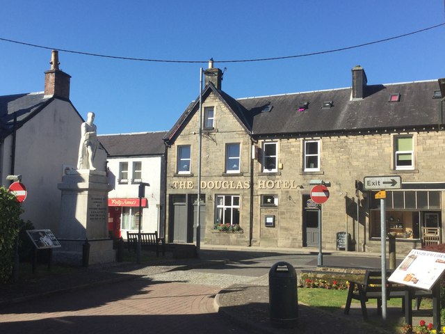
Langholm

Langholm , also known colloquially as the "Muckle Toon", is a burgh in Dumfries and Galloway, southern Scotland. Langholm lies between four hills in the...

Langholm Academy

Langholm Academy is a non-denominational, co-educational six-year comprehensive secondary school in Langholm, Scotland. Currently, the school has 240 pupils...

Duchess Bridge

The Duchess Bridge is a cast iron footbridge over the River Esk in Dumfries and Galloway, Scotland. It was built for Charles Montagu-Scott, 4th Duke of...

Related Videos

Walking In Dumfries & Galloway | Wrae Hill & Potholm Hill | A Short Stroll From Langholm

A short stroll in the Scottish Borders to avoid the Bank Holiday crowds.

Walking in Dumfries & Galloway | MacDiarmid Memorial & Malcolm Monument | BOGOFF On The Tributes!

https://www.youtube.com/@TonysTrails?sub_confirmation=1 Two monuments for the price of one in Dumfries & Galloway.

Langholm

southwestscotland #langholm.

Langholm Moor 2nd Stage Community Buy Out Campaign

Our Story of Hope. Please donate to our fundraiser here: https://www.gofundme.com/f/langholm-moor-community-buyout-2 One of ...

Nearby Amenities

Located within 500m of 55.135264,-3.0120184
Stubholm Hill
Ele: 281
Natural: peak
Lat/Long: 55.1350442/-3.0121355
Tod Knowe
Place: locality
Lat/Long: 55.1359855/-3.0171168
Warb Law
Ele: 275
Natural: peak
Lat/Long: 55.1378342/-3.0078754
The data included in this document is from www.openstreetmap.org. The data is made available under ODbL.

Have you been to Stubholm Hill?

Leave your review of Stubholm Hill below (or comments, questions and feedback).