Auchterhouse Hill

Hill, Mountain in Angus

Scotland

Auchterhouse Hill

Deer Fence with path across Boggy Seat New fence with viable path alongside across Boggy Seat (named on 1:25000 OS map). A useful route east from Henderston Hill. Path continues east into small col visible on other side of Boggy Seat.
Deer Fence with path across Boggy Seat Credit: AllanKnaik

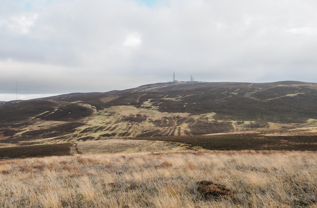
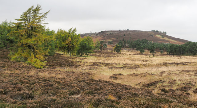
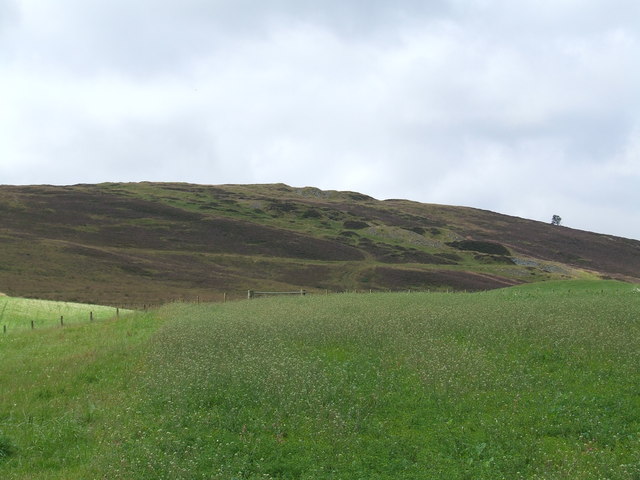
Auchterhouse Hill is a prominent landmark situated in the Angus region of Scotland. Located approximately 4 miles northwest of Dundee, it stands at an impressive height of 426 meters (1,398 feet), making it one of the highest points in the area.

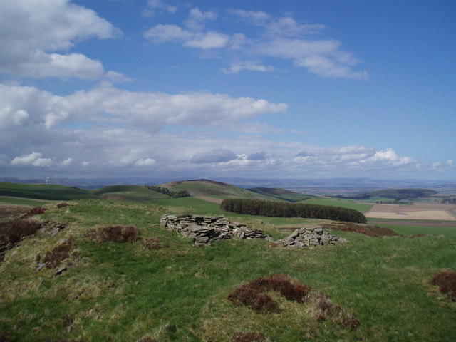
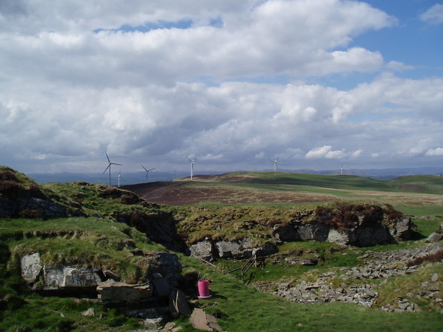
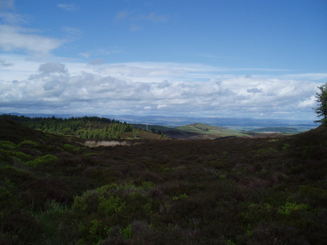
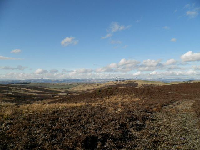
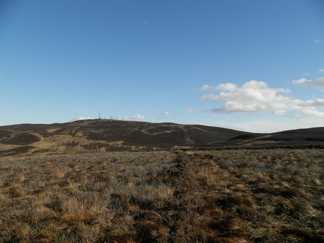
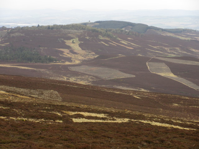
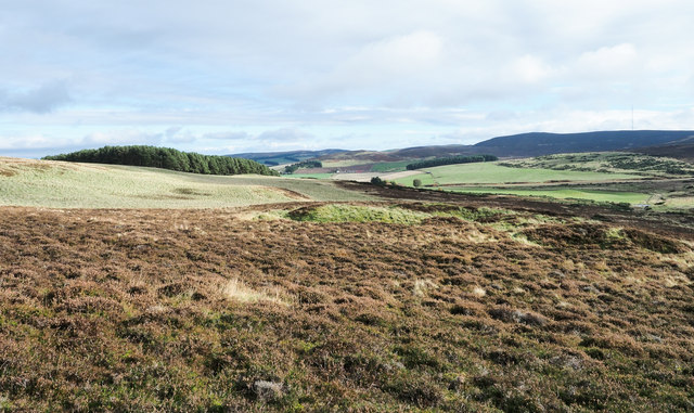
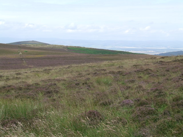
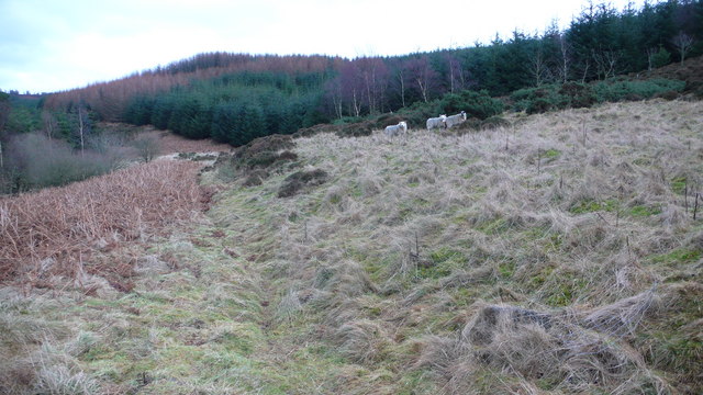
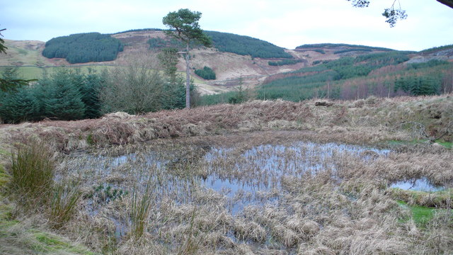
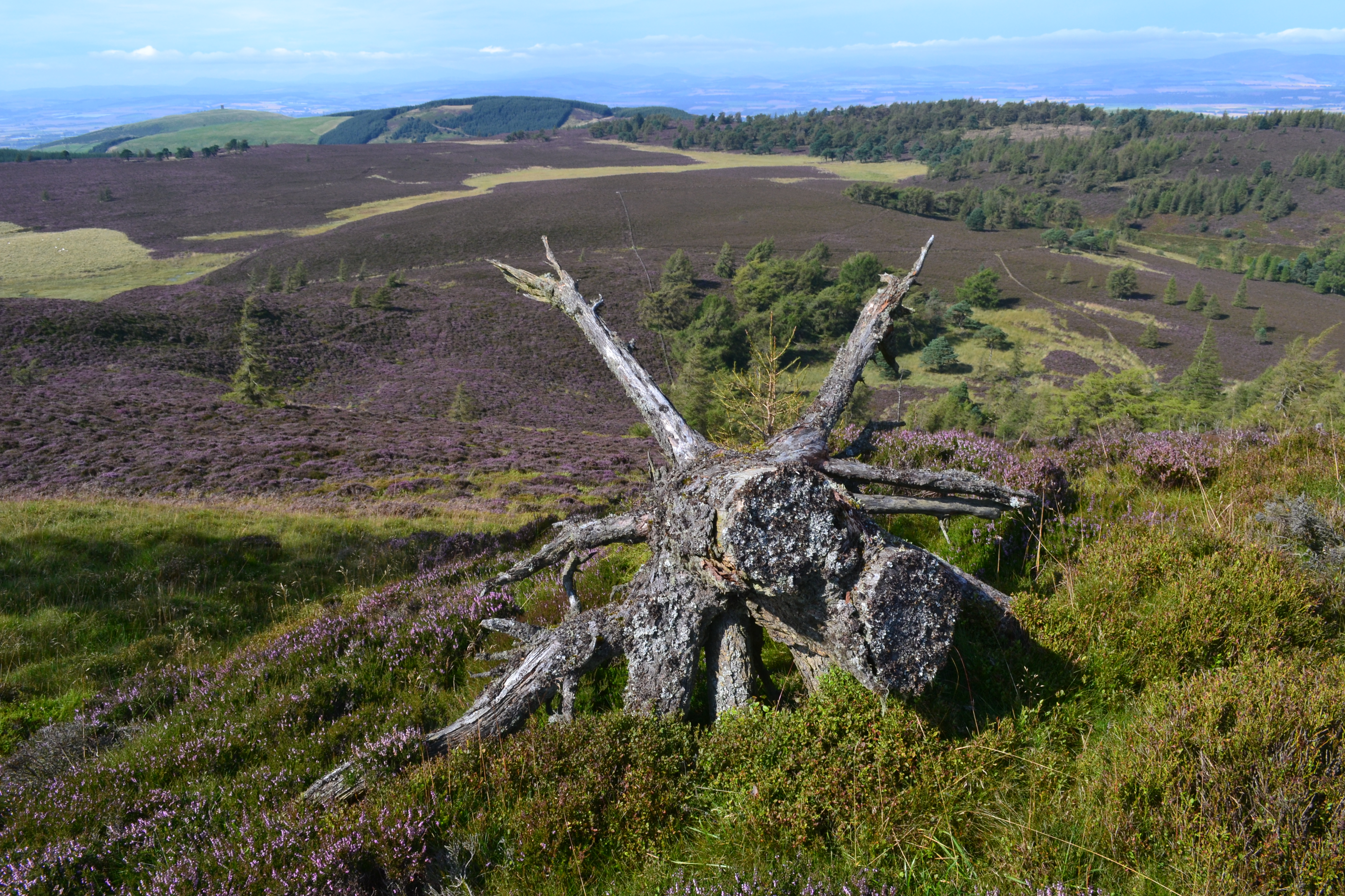
The hill is a popular destination for outdoor enthusiasts and hikers due to its stunning panoramic views of the surrounding countryside. From the summit, visitors can admire the rolling hills, lush green valleys, and nearby bodies of water such as the Dighty Water and River Tay. On clear days, it is even possible to catch a glimpse of the distant peaks of the Grampian Mountains.

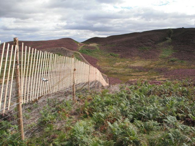
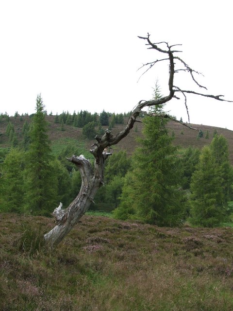
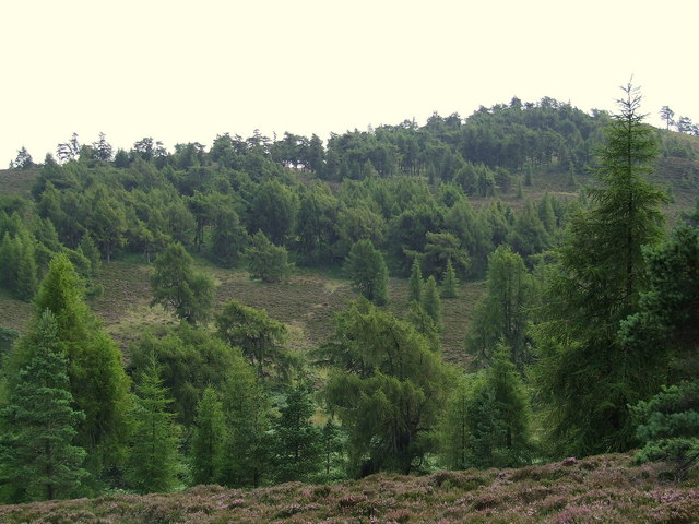
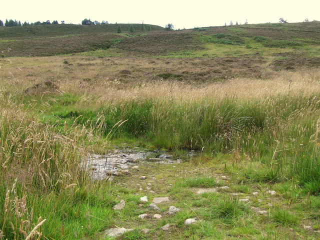
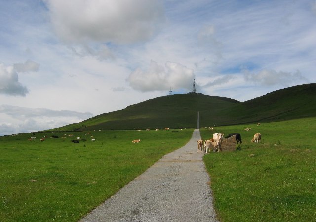
The ascent to Auchterhouse Hill is relatively straightforward, with well-defined paths leading up from the nearby village of Auchterhouse. The hill is covered in heather and grass, providing a picturesque landscape throughout the year. In spring and summer, the hillside becomes a colorful tapestry of wildflowers, including purple heather and yellow gorse.

Auchterhouse Hill also boasts a rich history, with traces of ancient settlements and burial sites dating back thousands of years. Archaeological discoveries suggest that the hill was once an important site for early human activity.

Overall, Auchterhouse Hill offers a rewarding and accessible outdoor experience for nature lovers, history enthusiasts, and those seeking breathtaking views of the Angus countryside.

If you have any feedback on the listing, please let us know in the comments section below.

Auchterhouse Hill Images

Images are sourced within 2km of 56.545048/-3.0513763 or Grid Reference NO3539. Thanks to Geograph Open Source API. All images are credited.

Deer Fence with path across Boggy Seat New fence with viable path alongside across Boggy Seat (named on 1:25000 OS map). A useful route east from Henderston Hill. Path continues east into small col visible on other side of Boggy Seat.
Deer Fence with path across Boggy Seat
New fence with viable path alongside across Boggy Seat (named on 1:25000 OS map). A useful route east from Henderston Hill. Path continues east into small col visible on other side of Boggy Seat.
Rough shelter on top of un-named hill Overlooking Strathmore
Rough shelter on top of un-named hill
Overlooking Strathmore
Disused Quarry On top of un-named hill in Sidlaws, the photo is taken towards the recently completed Ark Hill wind farm
Disused Quarry
On top of un-named hill in Sidlaws, the photo is taken towards the recently completed Ark Hill wind farm
Moorland to the north of Auchterhouse Hill The Ark Hill turbines can be seen in the middle distance and beyond lies Strathmore.
Moorland to the north of Auchterhouse Hill
The Ark Hill turbines can be seen in the middle distance and beyond lies Strathmore.
Moorland on the Sidlaws The wind turbines on Ark Hill can be seen in the distance.
Moorland on the Sidlaws
The wind turbines on Ark Hill can be seen in the distance.
Sidlaws moorland towards Craigowl
Northern slopes of Craigowl Hill Looking westwards from the north side of the top of Craigowl Hill. The tower of Kinpurnie can be seen in the distance over Scotston Hill.
Northern slopes of Craigowl Hill
Looking westwards from the north side of the top of Craigowl Hill. The tower of Kinpurnie can be seen in the distance over Scotston Hill.
Heather slope above Pipeden Burn The slopes descend gently to the nearby Piperden Burn which lower down joins the Breadie Burn. Gallow Hill is the distant, dark feature at the right side of the image.
Heather slope above Pipeden Burn
The slopes descend gently to the nearby Piperden Burn which lower down joins the Breadie Burn. Gallow Hill is the distant, dark feature at the right side of the image.
Heather and grass moorland across valley head The valley head is that of the Breadie Burn which begins at the watershed of the Sidlaw Hills between Craigowl Hill and Balkello Hill. Craigowl Hill is of course in the image, festooned with aerials.
Heather and grass moorland across valley head
The valley head is that of the Breadie Burn which begins at the watershed of the Sidlaw Hills between Craigowl Hill and Balkello Hill. Craigowl Hill is of course in the image, festooned with aerials.
Hill slope rising north of Auchterhouse Hill The heather slope beyond the larch and pine trees also rises from flat moorland which is the gathering ground of the Haining Burn.
Hill slope rising north of Auchterhouse Hill
The heather slope beyond the larch and pine trees also rises from flat moorland which is the gathering ground of the Haining Burn.
Dead Tree In amongst open Larch woodland in the valley to the north of Auchterhouse Hill.
Dead Tree
In amongst open Larch woodland in the valley to the north of Auchterhouse Hill.
Heather and grass in the Sidlaw Hills
Field at Nether Handwick Looking across Piper Den to a former quarry on the hillside beyond.
Field at Nether Handwick
Looking across Piper Den to a former quarry on the hillside beyond.
View from the path to, Auchterhouse Hill Open woodland fills the valley and climbs the Northern slopes of the hill.
View from the path to, Auchterhouse Hill
Open woodland fills the valley and climbs the Northern slopes of the hill.
Ford on the track A small burn runs across the track.
Ford on the track
A small burn runs across the track.
Animals on lower slopes of Scotston Hill There was a mix of animals on this organic farm, with many areas of new planting.
Animals on lower slopes of Scotston Hill
There was a mix of animals on this organic farm, with many areas of new planting.
Forestry Plantation This was a larger area of forestry again not marked on the map.  There were many shotgun cartridges hereabouts, so no doubt the local pheasant population had taken a recent hammering.
Forestry Plantation
This was a larger area of forestry again not marked on the map. There were many shotgun cartridges hereabouts, so no doubt the local pheasant population had taken a recent hammering.
Boggy Pool Manmade pool on Northern slopes of Scotston Hill.  Could this have been built to help in dousing any fire in the plantation?  There were a few remnants of Scots Pine trees hereabouts.
Boggy Pool
Manmade pool on Northern slopes of Scotston Hill. Could this have been built to help in dousing any fire in the plantation? There were a few remnants of Scots Pine trees hereabouts.
Show me another place!

Auchterhouse Hill is located at Grid Ref: NO3539 (Lat: 56.545048, Lng: -3.0513763)

Unitary Authority: Angus

Police Authority: Tayside

What 3 Words

///guitars.steroids.yelled. Near Muirhead, Angus

Nearby Locations

Auchterhouse Hill

Related Wikis

Auchterhouse Hill

Auchterhouse Hill is the second highest hill of the Sidlaw range in South East Angus. At 426 metres (1,398 ft), it is classified as a Tump with a relative...

Balkello Hill

Balkello Hill is a hill in Angus, Scotland. It is the third highest hill of the Sidlaw range and is visible from Sidlaws View Trail. Balkello Hill is located...

Old Balkello

Old Balkello is a village in Angus, Scotland, three miles north of Dundee on the Auchterhouse to Tealing road. == References ==

Craigowl Hill

Craigowl Hill is a summit towards the eastern end of the Sidlaw Hills in Angus, Scotland. Northeast of Kirkton of Auchterhouse and approximately eight...

Balbeuchly (Top) railway station

Balbeuchly (Top) railway station served the village of Auchterhouse, Angus, Scotland, from 1831 to 1861 on the Dundee and Newtyle Railway. == History... ==

Balluderon Stone

The Balluderon Stone, otherwise known as Martin's Stone is a class II Pictish cross slab in situ at Balluderon, Angus, Scotland. == Description == A slab...

Strathmartine Castle Stone

The Strathmartine Castle Stone is a class I Pictish stone from Strathmartine, Angus, Scotland. == Description == The stone is of Old Red Sandstone and...

Auchterhouse railway station

Auchterhouse railway station served the village of Auchterhouse in the Scottish county of Angus. Services were provided by the Dundee and Newtyle Railway...

Nearby Amenities

Located within 500m of 56.545048,-3.0513763
Auchterhouse Hill
Ele: 426
Natural: peak
Wikidata: Q17514020
Wikipedia: en:Auchterhouse Hill
Lat/Long: 56.5450997/-3.0514385
Power: tower
Lat/Long: 56.5433933/-3.0588767
The data included in this document is from www.openstreetmap.org. The data is made available under ODbL.

Have you been to Auchterhouse Hill?

Leave your review of Auchterhouse Hill below (or comments, questions and feedback).