Bauchle Hill

Hill, Mountain in Dumfriesshire

Scotland

Bauchle Hill

Kirkton, in the valley of the Ewes Water Looking up to the valley of Hare Hope.
Kirkton, in the valley of the Ewes Water Credit: M J Richardson

Bauchle Hill is a prominent hill located in Dumfriesshire, a historic county in the south-west of Scotland. Situated near the village of Thornhill, the hill forms part of the Lowther Hills range, which stretches across the border between Dumfriesshire and the neighbouring county of Lanarkshire.

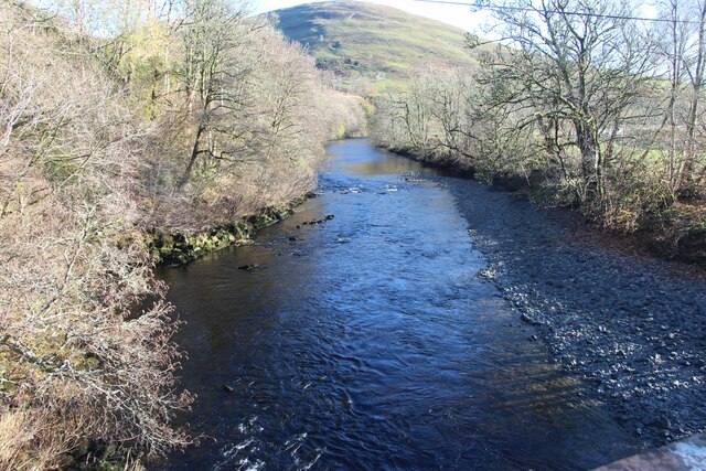
With an elevation of 543 meters (1,781 feet), Bauchle Hill offers stunning panoramic views of the surrounding countryside. Its distinctive conical shape makes it easily recognizable from afar. The hill is covered in heather and grasses, creating a picturesque landscape that changes hues with the seasons.

Bauchle Hill attracts both nature enthusiasts and hikers. There are several well-marked trails that lead to the summit, varying in difficulty to cater to different levels of fitness and experience. The climb to the top is rewarded with breathtaking vistas stretching as far as the Southern Uplands and the Galloway Hills. On a clear day, it is even possible to catch glimpses of the Solway Firth and the Irish Sea.

The hill is also home to a diverse range of flora and fauna. Visitors may encounter red grouse, red deer, and various bird species, including kestrels and peregrine falcons. The surrounding area is dotted with sheep farms, adding to the rural charm and authenticity of the landscape.

Bauchle Hill is a hidden gem in Dumfriesshire, offering a peaceful escape and a chance to connect with nature while enjoying breathtaking views.

If you have any feedback on the listing, please let us know in the comments section below.

Bauchle Hill Images

Images are sourced within 2km of 55.19902/-3.015536 or Grid Reference NY3589. Thanks to Geograph Open Source API. All images are credited.
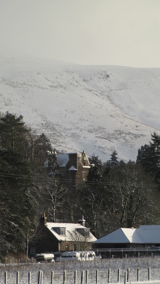
Kirkton, in the valley of the Ewes Water Looking up to the valley of Hare Hope.
Kirkton, in the valley of the Ewes Water
Looking up to the valley of Hare Hope.
Pasture at Ewes Looking across the track to Kirkton, to Brieryshaw Hill
Pasture at Ewes
Looking across the track to Kirkton, to Brieryshaw Hill
Blackthorn at Brieryshaw The Blackthorn [Prunus spinosa] has been magnificent this Spring - a bumper year for sloe gin; return in October/November. Beyond is Brittleston Height.
Blackthorn at Brieryshaw
The Blackthorn [Prunus spinosa] has been magnificent this Spring - a bumper year for sloe gin; return in October/November. Beyond is Brittleston Height.
Ewes Parish Church And burial ground - just hanging on, with one service a month.
Ewes Parish Church
And burial ground - just hanging on, with one service a month.
Ewes Parish Church
Ewes Parish Church
Ewes War Memorial, and church details The details indicate that it is a part-time church, with one service a month.
Ewes War Memorial, and church details
The details indicate that it is a part-time church, with one service a month.
River Esk at Burnfoot
A7 layby Near Brieryshaw, Ewesdale.  Dumfries and Galloway Council still have layby bins.
A7 layby
Near Brieryshaw, Ewesdale. Dumfries and Galloway Council still have layby bins.
Loch Hill East side of Ewesdale.
Loch Hill
East side of Ewesdale.
Farm road, Brieryshaw Leads from the A7 to the hill grazing.
Farm road, Brieryshaw
Leads from the A7 to the hill grazing.
Ewes Parish Church Ewes Parish Church is an attractive rural stone-built Gothic style church dating from 1867. Some of the graves are much older than the church, dating from the 17th to 20th centuries. There is a monthly service on the 3rd Sunday of each month at 6.00 pm. The church is a Category B listed building. <span class="nowrap"><a title="https://www.britishlistedbuildings.co.uk/200342034-ewes-parish-church-and-churchyard-ewes#.WwlfMDGWzwo" rel="nofollow ugc noopener" href="https://www.britishlistedbuildings.co.uk/200342034-ewes-parish-church-and-churchyard-ewes#.WwlfMDGWzwo">Link</a><img style="margin-left:2px;" alt="External link" title="External link - shift click to open in new window" src="https://s1.geograph.org.uk/img/external.png" width="10" height="10"/></span>
Ewes Parish Church
Ewes Parish Church is an attractive rural stone-built Gothic style church dating from 1867. Some of the graves are much older than the church, dating from the 17th to 20th centuries. There is a monthly service on the 3rd Sunday of each month at 6.00 pm. The church is a Category B listed building. LinkExternal link
Grassland, Ewes
Grassland, Ewes
Ewes Parish Church
Ewes Parish Church
Ewes Parish Church
Ewes Parish Church
The valley of the Ewes Water With Arkleton by the rectangle of trees at upper left and Bittlestone Height to the right.
The valley of the Ewes Water
With Arkleton by the rectangle of trees at upper left and Bittlestone Height to the right.
Ewes Parish Church Beside the A7, the layby is a previous alignment of the road.
Ewes Parish Church
Beside the A7, the layby is a previous alignment of the road.
Ewes Parish Church Viewed from the west.
Ewes Parish Church
Viewed from the west.
Ordnance Survey Flush Bracket S7374 This can be found on the wall of Ewes Parish Church.
For more detail see : <span class="nowrap"><a title="http://www.bench-marks.org.uk/bm2128" rel="nofollow ugc noopener" href="http://www.bench-marks.org.uk/bm2128">Link</a><img style="margin-left:2px;" alt="External link" title="External link - shift click to open in new window" src="https://s1.geograph.org.uk/img/external.png" width="10" height="10"/></span>
Ordnance Survey Flush Bracket S7374
This can be found on the wall of Ewes Parish Church. For more detail see : LinkExternal link
Show me another place!

Bauchle Hill is located at Grid Ref: NY3589 (Lat: 55.19902, Lng: -3.015536)

Unitary Authority: Dumfries and Galloway

Police Authority: Dumfries and Galloway

What 3 Words

///housework.exclusive.army. Near Bentpath, Dumfries & Galloway

Nearby Locations

Bauchle Hill

Related Wikis

Ewesdale

Ewesdale is a glen and former lordship in Dumfries and Galloway, Scotland. The Ewes Water runs through the valley from its source at Mosspaul, until it...

Barntalloch Castle

Barntalloch Castle was a castle located at Staplegorton, in Dumfries and Galloway, Scotland. The castle was built in the 12th century by Galfrid de Coninsburgh...

Arkleton

Arkleton is a mansion and estate in the civil parish of Ewes, in Dumfries and Galloway, Scotland. Arkleton House was built in 1860/1884 and incorporates...

Eskdale (Scotland)

Eskdale (Scottish Gaelic: Eisgeadal, IPA:[ˈeʃkʲət̪əɫ̪]) is a glen and former lordship in the county of Dumfriesshire, Scotland. The River Esk flows through...

Nearby Amenities

Located within 500m of 55.19902,-3.015536
Bauchle Hill
Ele: 388
Natural: peak
Lat/Long: 55.1990159/-3.0151399
The data included in this document is from www.openstreetmap.org. The data is made available under ODbL.

Have you been to Bauchle Hill?

Leave your review of Bauchle Hill below (or comments, questions and feedback).