Mid Rig

Hill, Mountain in Selkirkshire

Scotland

Mid Rig

North shore of Kingside Loch A remote loch in the middle of the forest.
North shore of Kingside Loch Credit: Oliver Dixon

Mid Rig is a prominent hill located in Selkirkshire, Scotland. It is part of the Southern Uplands range and stands at an impressive height of 565 meters (1,854 feet) above sea level. The hill is known for its rugged terrain and stunning views of the surrounding landscape.

Mid Rig is a popular destination for hikers and outdoor enthusiasts looking to challenge themselves with a steep and challenging climb. The hill is accessible via various walking routes, with the most common starting point being the nearby town of Selkirk.

The summit of Mid Rig offers panoramic views of the rolling hills and valleys of Selkirkshire, as well as distant views of the Scottish Borders region. On a clear day, hikers can see as far as the Pentland Hills and even the North Sea.

Overall, Mid Rig is a fantastic location for those looking to escape the hustle and bustle of everyday life and immerse themselves in the natural beauty of the Scottish countryside. It provides a rewarding and invigorating outdoor experience for visitors of all skill levels.

If you have any feedback on the listing, please let us know in the comments section below.
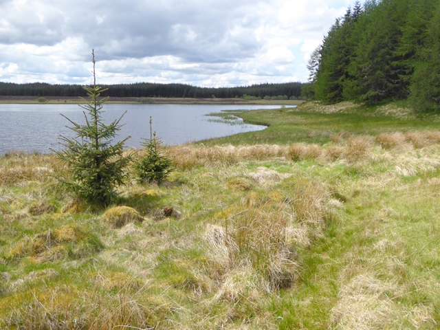
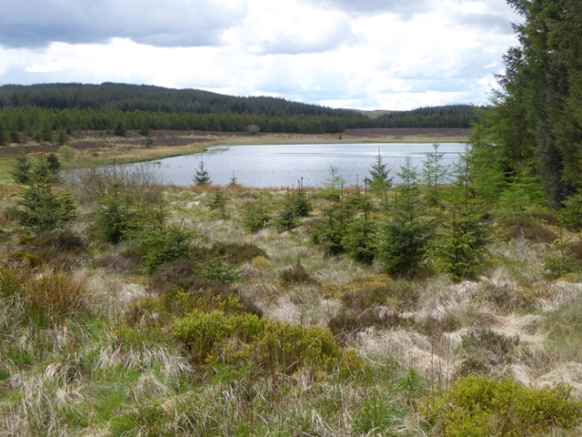
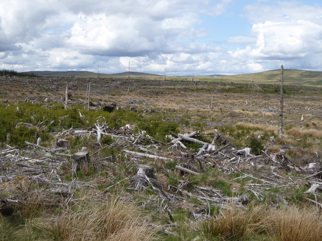
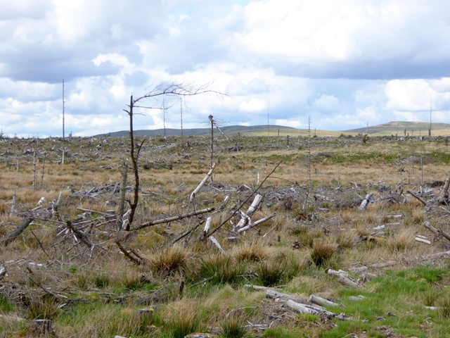
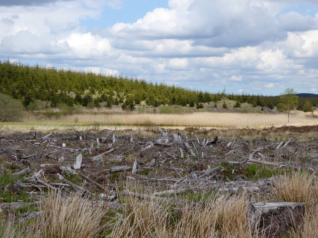
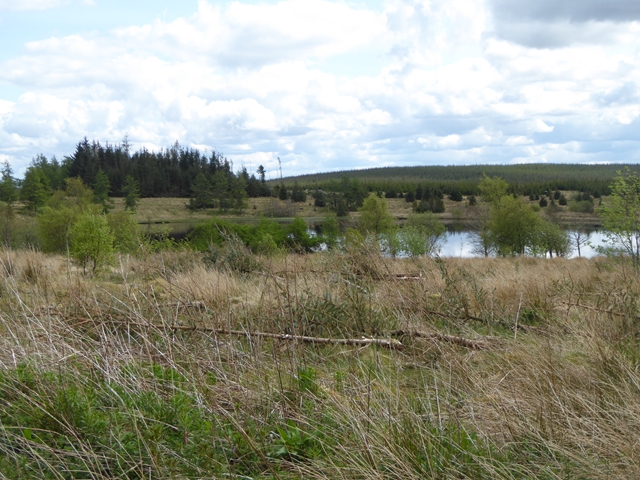
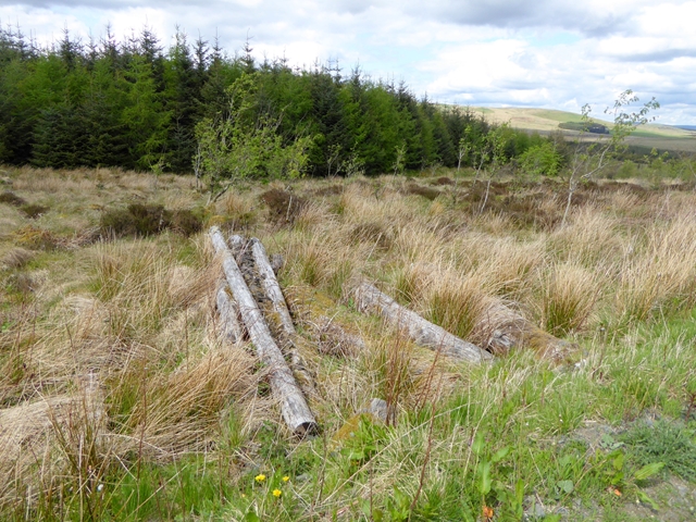
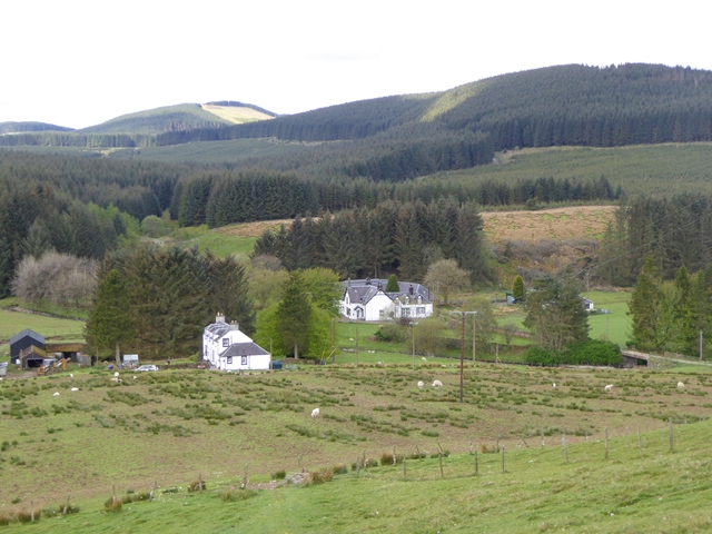
Mid Rig Images

Images are sourced within 2km of 55.405638/-3.0211769 or Grid Reference NT3512. Thanks to Geograph Open Source API. All images are credited.

North shore of Kingside Loch A remote loch in the middle of the forest.
North shore of Kingside Loch
A remote loch in the middle of the forest.
South shore of Kingside Loch A remote loch in the middle of the forest. Bilberries are growing in the foreground.
South shore of Kingside Loch
A remote loch in the middle of the forest. Bilberries are growing in the foreground.
Clear fell near Goose Loch This extensive area of forest has been recently cleared.
Clear fell near Goose Loch
This extensive area of forest has been recently cleared.
Clear fell near Goose Loch This extensive area of forest has been recently cleared.
Clear fell near Goose Loch
This extensive area of forest has been recently cleared.
Goose Loch Compare with <a href="https://www.geograph.org.uk/photo/323271">NT3514 : Goose Loch</a> nine years ago. The area of open water is now much reduced with reedbeds filling much of the loch. A young plantation is now well-established on the far side of the loch.
Goose Loch
Compare with NT3514 : Goose Loch nine years ago. The area of open water is now much reduced with reedbeds filling much of the loch. A young plantation is now well-established on the far side of the loch.
North side of Crooked Loch In the heart of the forest.
North side of Crooked Loch
In the heart of the forest.
Logs beside the forest road
Track, Coutlair Knowe. In a privately managed part of Craik Forest. The road is not so heavily used as the FC ones and they seem more tolerant of self seeding trees encroaching on the carriageway.  
View North.
Track, Coutlair Knowe.
In a privately managed part of Craik Forest. The road is not so heavily used as the FC ones and they seem more tolerant of self seeding trees encroaching on the carriageway. View North.
Felled area, Bellendean Shank Craik has vast areas of clearfell. In 30km of travelling through the forest today, I was rarely in enclosed areas, there were many open views.  Areas like this, before the tree cover is complete are rich in wildlife. 
Look carefully, and you will notice the new generation of spruce growing amongst the wreckage of the last.
Felled area, Bellendean Shank
Craik has vast areas of clearfell. In 30km of travelling through the forest today, I was rarely in enclosed areas, there were many open views. Areas like this, before the tree cover is complete are rich in wildlife. Look carefully, and you will notice the new generation of spruce growing amongst the wreckage of the last.
Goose Loch Now visible from the road, in a clear felled area.  With resident swans (Cygnus olor).  No sign of the geese.
Goose Loch
Now visible from the road, in a clear felled area. With resident swans (Cygnus olor). No sign of the geese.
Crooked Loch Large loch for these parts. This is the northern shore, belonging to NT3514.
Crooked Loch
Large loch for these parts. This is the northern shore, belonging to NT3514.
Forest road near the Goose Loch A main route for timber out of the interior of Craik Forest. The road can be followed all the way through to Craik or the Tima Water.
Forest road near the Goose Loch
A main route for timber out of the interior of Craik Forest. The road can be followed all the way through to Craik or the Tima Water.
Forest road near the Goose Loch A rare excursion into mature woodland.  Logging road, not muddy for once serving northern Craik Forest.
Forest road near the Goose Loch
A rare excursion into mature woodland. Logging road, not muddy for once serving northern Craik Forest.
Kingside Loch The loch is on the edge of Craik Forest but with new private plantations, is now fully enclosed. Fortunately the trees are well back from the water.
Kingside Loch
The loch is on the edge of Craik Forest but with new private plantations, is now fully enclosed. Fortunately the trees are well back from the water.
Forest edge, Kingside Loch Edge of the Forestry Commission owned part of Craik Forest, marked on the OS maps with the Purple Plague.
Forest edge, Kingside Loch
Edge of the Forestry Commission owned part of Craik Forest, marked on the OS maps with the Purple Plague.
Kingside Loch The southern shore, with newer privately managed forestry beyond.
Kingside Loch
The southern shore, with newer privately managed forestry beyond.
Tree bags full These innocuous looking bags are full of lots of young sitka spruce, fresh from the nursery. A felled area behind me is being replanted.
Tree bags full
These innocuous looking bags are full of lots of young sitka spruce, fresh from the nursery. A felled area behind me is being replanted.
Sheep fank below Black Rigg A rare glimpse of life before the forest. A large clearing surrounding an old sheep fank.  Coultlair Knowe in the distance.
Sheep fank below Black Rigg
A rare glimpse of life before the forest. A large clearing surrounding an old sheep fank. Coultlair Knowe in the distance.
Show me another place!

Mid Rig is located at Grid Ref: NT3512 (Lat: 55.405638, Lng: -3.0211769)

Unitary Authority: The Scottish Borders

Police Authority: The Lothians and Scottish Borders

What 3 Words

///shameless.feel.benched. Near Ettrick, Scottish Borders

Nearby Locations

Mid Rig

Related Wikis

Buccleuch, Scottish Borders

East and West Buccleuch ( bÉ™-KLOO) are two homesteads in the Scottish Borders, in the Ettrick parish of historic Selkirkshire. They are located off the...

Craik Forest

Craik Forest is a forest near Hawick in the Scottish Borders area of Scotland, and managed by the Forestry Commission. It is adjoined to the south-west...

Craik, Scottish Borders

Craik is a hamlet in Craik Forest, by the Airhouse Burn in the Scottish Borders area of Scotland, close to Roberton, Scottish Borders (grid reference NT348084...

Alemoor Loch

Alemoor Loch, also known as Alemoor Reservoir, is a small reservoir in the Scottish Borders area of Scotland. It is situated on the Ale Water, 10 kilometres...

Have you been to Mid Rig?

Leave your review of Mid Rig below (or comments, questions and feedback).