Allt Sowan Hill

Hill, Mountain in Aberdeenshire

Scotland

Allt Sowan Hill

The Eagles' Rock, Glen Buchat Boulders and outcrops on the hillside above Ballochduie.
The Eagles' Rock, Glen Buchat Credit: Alan O'Dowd

Allt Sowan Hill is a prominent hill located in Aberdeenshire, Scotland. Standing at an elevation of 515 meters (1,690 feet), it is considered one of the notable peaks in the area. The hill is situated approximately 14 kilometers southwest of the town of Huntly and is part of the larger range known as the Grampian Mountains.

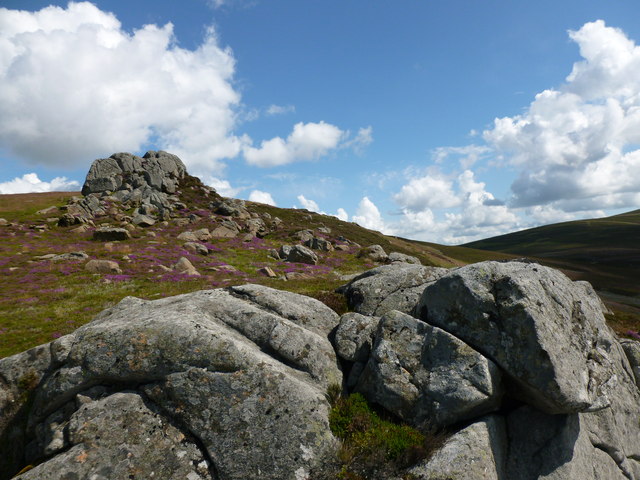
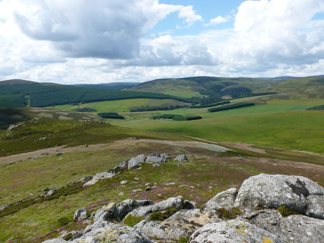
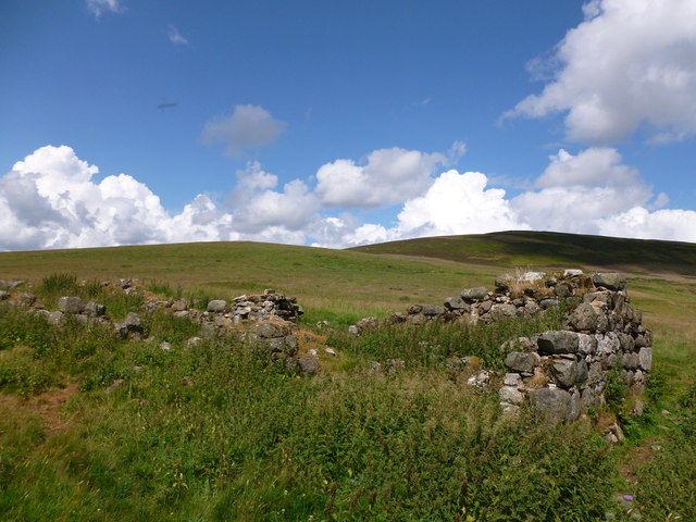
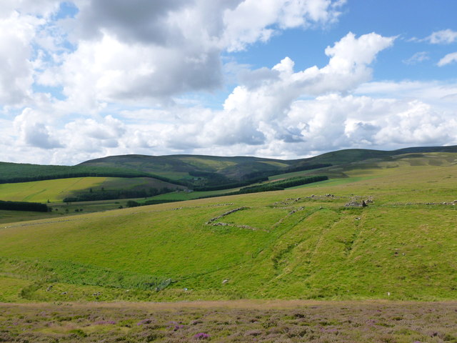
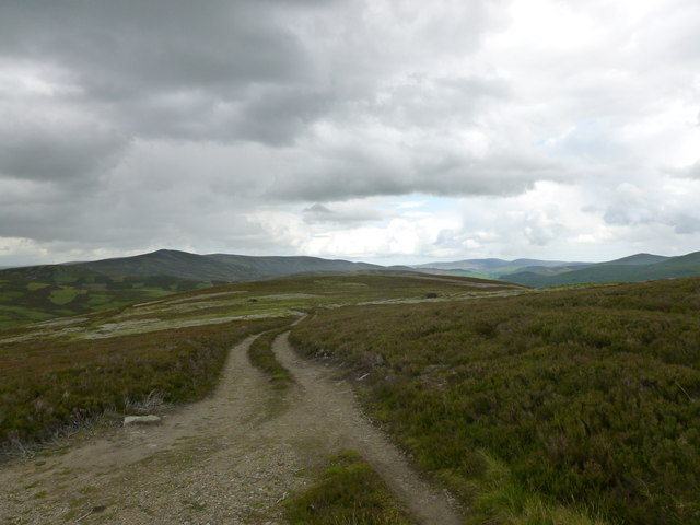
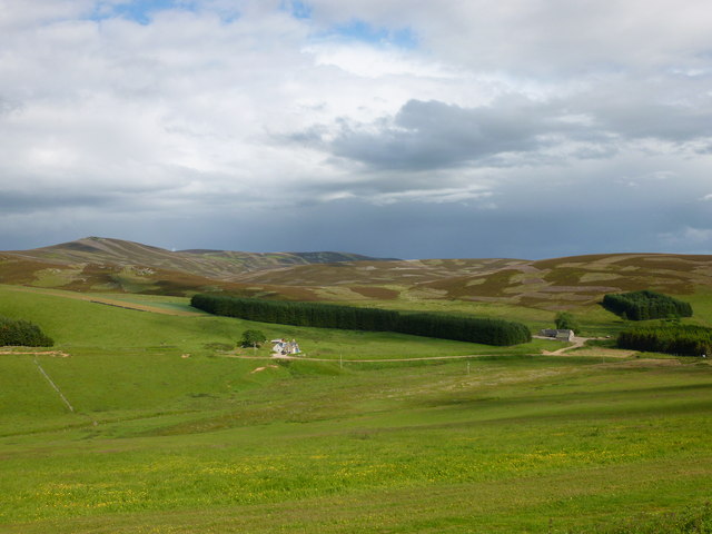
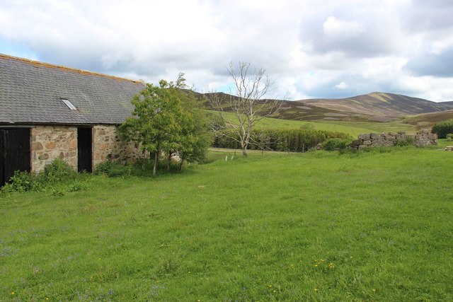
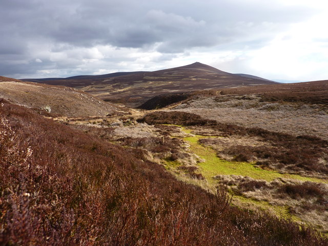
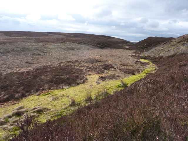
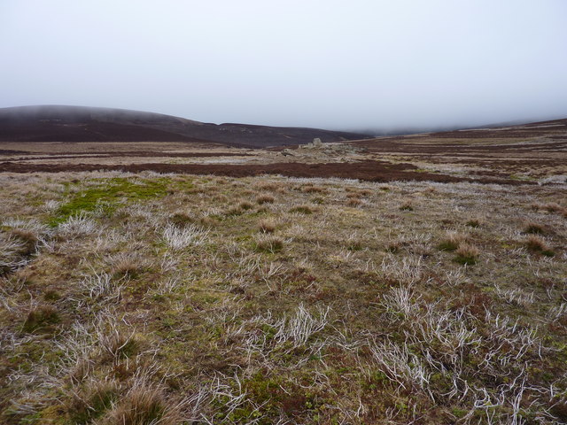
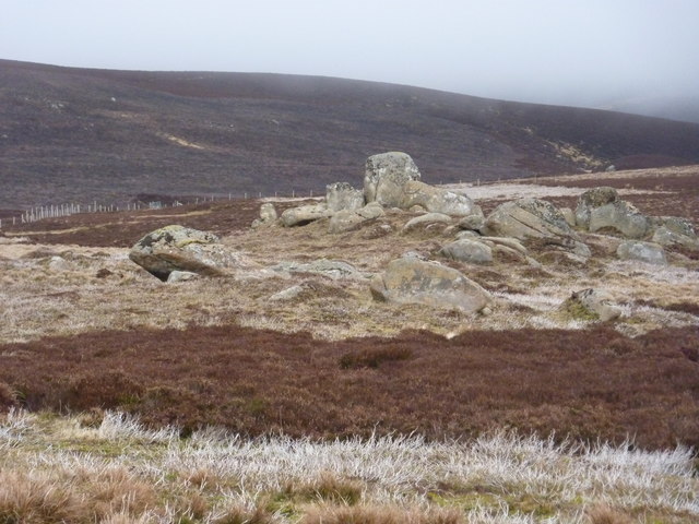
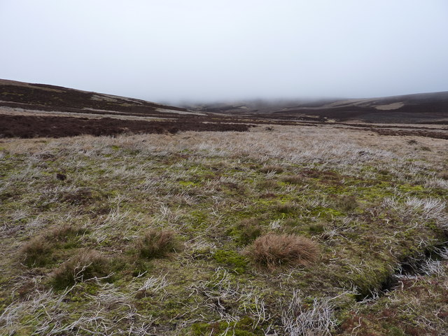
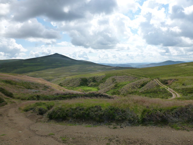
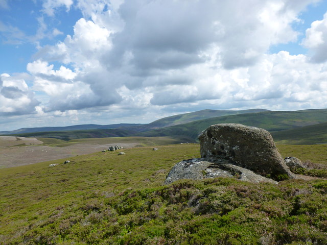
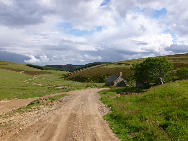
Allt Sowan Hill is characterized by its rugged and rocky terrain, with its slopes covered in heather and grasses. The hill offers breathtaking panoramic views of the surrounding landscape, including the sprawling Aberdeenshire countryside and nearby peaks. On clear days, it is even possible to see as far as the Moray Firth and the Cairngorms National Park.

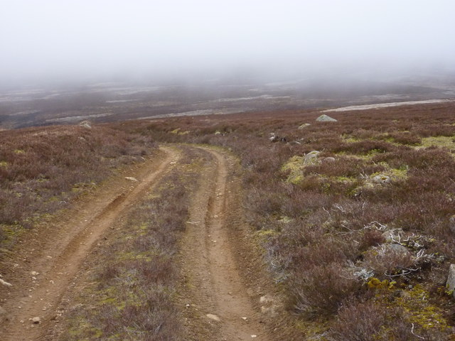
The hill is a popular destination for outdoor enthusiasts, including hikers and nature lovers. Several well-defined trails lead to the summit, offering varying levels of difficulty. The ascent is relatively steep, but the effort is rewarded with the awe-inspiring vistas from the top.

Wildlife is abundant in the area, with frequent sightings of red deer, rabbits, and various bird species. The hill is also home to a diverse range of plant life, with heather, bilberry, and cotton grass thriving in the acidic soil.

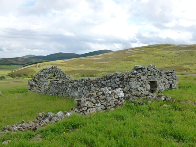
Allt Sowan Hill is a place of natural beauty and tranquility, attracting visitors who seek to immerse themselves in the stunning Scottish countryside. Whether it be for a challenging hike or simply to enjoy the peacefulness of the surroundings, this hill offers a remarkable experience for all who venture to its summit.

If you have any feedback on the listing, please let us know in the comments section below.

Allt Sowan Hill Images

Images are sourced within 2km of 57.274164/-3.0846468 or Grid Reference NJ3420. Thanks to Geograph Open Source API. All images are credited.

The Eagles' Rock, Glen Buchat Boulders and outcrops on the hillside above Ballochduie.
The Eagles' Rock, Glen Buchat
Boulders and outcrops on the hillside above Ballochduie.
Upper Glen Buchat from Eagle's Rock View from the hillside below Creag na Gamhna (crag of the calf)
Upper Glen Buchat from Eagle's Rock
View from the hillside below Creag na Gamhna (crag of the calf)
Ruins at Sluggie The remains of a former croft or farm building.
Ruins at Sluggie
The remains of a former croft or farm building.
Ruined building and enclosure at Sluggie Viewed from the other side of the Burn of Sluggie.
Ruined building and enclosure at Sluggie
Viewed from the other side of the Burn of Sluggie.
Hill track on Tom an Totaich Tom an Totaich translates from Gaelic as 'Hillock of the Turves' (plural of turf).
Hill track on Tom an Totaich
Tom an Totaich translates from Gaelic as 'Hillock of the Turves' (plural of turf).
Newseat and Ballochduie Two farms on the Glenbuchat Estate, viewed from the opposite side of the Leadensider Burn.
Newseat and Ballochduie
Two farms on the Glenbuchat Estate, viewed from the opposite side of the Leadensider Burn.
Steading at Badenyon
The start of The Burn of Hillocks Not to be confused with the Hillocks Burn. The bright green moss conceals deep bog. In the distance Creag an Sgor.
The start of The Burn of Hillocks
Not to be confused with the Hillocks Burn. The bright green moss conceals deep bog. In the distance Creag an Sgor.
Bog and heather moor
Change in the weather A cold front is arriving, and meeting warmer moist air, it produces extensive low cloud. Fortunately I am heading down under it.
Change in the weather
A cold front is arriving, and meeting warmer moist air, it produces extensive low cloud. Fortunately I am heading down under it.
Moorland east of Allt Sowan Hill With low cloud heading my way.
Moorland east of Allt Sowan Hill
With low cloud heading my way.
Pile of rocks exposed on the moor
Typical moorland and typical weather on the N.E. flank of Allt Sowan Hill A cold front is producing low cloud/mist. The heather moor is for grouse, and large areas are burnt. The area is particularly boring.
Typical moorland and typical weather on the N.E. flank of Allt Sowan Hill
A cold front is producing low cloud/mist. The heather moor is for grouse, and large areas are burnt. The area is particularly boring.
Track near Creag na Gamhna Looking towards Creag an Sgor.
Track near Creag na Gamhna
Looking towards Creag an Sgor.
The Study (Studdie) Stone, Glen Buchat The derivation is from studdie, a Scots word for an anvil, and not 'study' as per the OS map.  The Buck o' the Cabrach is the hill in the distance.
The Study (Studdie) Stone, Glen Buchat
The derivation is from studdie, a Scots word for an anvil, and not 'study' as per the OS map. The Buck o' the Cabrach is the hill in the distance.
Sheep house, Ryntaing This is one of two ruined buildings on the hillside above Ryntaing identified by the RCAHMS as sheep houses or sheep cots.

<span class="nowrap"><a title="http://canmore.org.uk/site/126366/ryntaing-sheep-houses" rel="nofollow ugc noopener" href="http://canmore.org.uk/site/126366/ryntaing-sheep-houses">Link</a><img style="margin-left:2px;" alt="External link" title="External link - shift click to open in new window" src="https://s1.geograph.org.uk/img/external.png" width="10" height="10"/></span>
Sheep house, Ryntaing
This is one of two ruined buildings on the hillside above Ryntaing identified by the RCAHMS as sheep houses or sheep cots. LinkExternal link
Track above Ryntaing Ryntaing is an abandoned farm steading in Upper Glen Buchat.  Its name derives from Roinn Teing, translating from Gaelic as 'point of the tongue', reflecting the fact that it lies in a wedge of improved ground between the Slackmore and Clachwalloch Burns.
Track above Ryntaing
Ryntaing is an abandoned farm steading in Upper Glen Buchat. Its name derives from Roinn Teing, translating from Gaelic as 'point of the tongue', reflecting the fact that it lies in a wedge of improved ground between the Slackmore and Clachwalloch Burns.
Pigeons on the roof, Ryntaing These pigeons seemed to be nesting in this ruined outbuilding at Ryntaing, in upper Glen Buchat.
Pigeons on the roof, Ryntaing
These pigeons seemed to be nesting in this ruined outbuilding at Ryntaing, in upper Glen Buchat.
Show me another place!

Allt Sowan Hill is located at Grid Ref: NJ3420 (Lat: 57.274164, Lng: -3.0846468)

Unitary Authority: Aberdeenshire

Police Authority: North East

What 3 Words

///shepherds.cabbage.cooks. Near Dufftown, Moray

Nearby Locations

Allt Sowan Hill

Related Wikis

Nearby Amenities

Located within 500m of 57.274164,-3.0846468
Allt Sowan Hill
Ele: 567
Natural: peak
Lat/Long: 57.2736573/-3.0845818
Ford: yes
Lat/Long: 57.2714826/-3.0862808
The data included in this document is from www.openstreetmap.org. The data is made available under ODbL.

Have you been to Allt Sowan Hill?

Leave your review of Allt Sowan Hill below (or comments, questions and feedback).