Worle Hill
Hill, Mountain in Somerset
England
Worle Hill

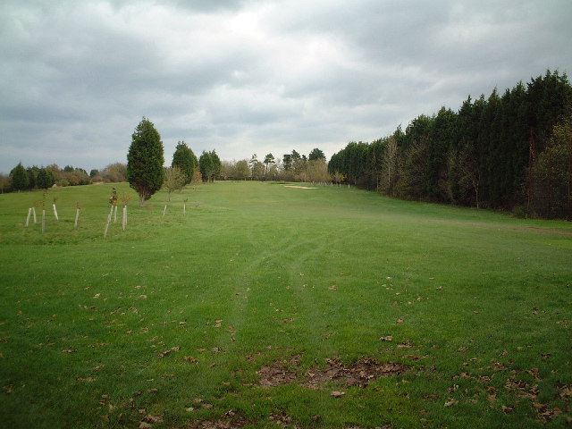
Worle Hill is a prominent natural landmark located in the county of Somerset, England. Situated near the town of Weston-super-Mare, it forms part of the broader Mendip Hills range. Despite being referred to as a hill, it is more accurately described as a modestly sized mountain, as it rises to an elevation of 159 meters (522 feet) above sea level.
The hill is primarily composed of limestone, a characteristic feature of the Mendip Hills, which gives it a distinct appearance. Its rugged slopes are covered in a mix of grasses, shrubs, and scattered trees, creating a picturesque landscape. The summit of Worle Hill offers breathtaking panoramic views of the surrounding countryside, including the Bristol Channel and the Welsh coastline.
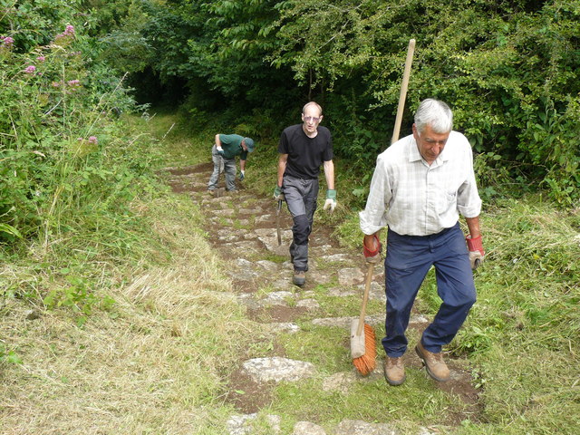
Due to its accessibility and natural beauty, Worle Hill is a popular destination for nature enthusiasts, hikers, and photographers. Several well-marked footpaths and trails traverse the area, allowing visitors to explore its diverse flora and fauna. The hill's location within the Mendip Hills Area of Outstanding Natural Beauty ensures its protection and preservation for future generations to enjoy.
Apart from its natural significance, Worle Hill also holds historical importance. At its base lies the ancient Worlebury Camp, an Iron Age hillfort dating back over 2,000 years. This archaeological site provides valuable insights into the region's past and attracts history enthusiasts seeking to unravel its mysteries.
In summary, Worle Hill is a majestic mountain in Somerset, England, characterized by limestone slopes, lush vegetation, and panoramic views. With its blend of natural beauty and historical significance, it continues to captivate visitors from near and far.
If you have any feedback on the listing, please let us know in the comments section below.
Worle Hill Images
Images are sourced within 2km of 51.364343/-2.9396668 or Grid Reference ST3463. Thanks to Geograph Open Source API. All images are credited.


Worle Hill is located at Grid Ref: ST3463 (Lat: 51.364343, Lng: -2.9396668)
Unitary Authority: North Somerset
Police Authority: Avon and Somerset
What 3 Words
///boxer.makes.engine. Near Kewstoke, Somerset
Nearby Locations
Related Wikis
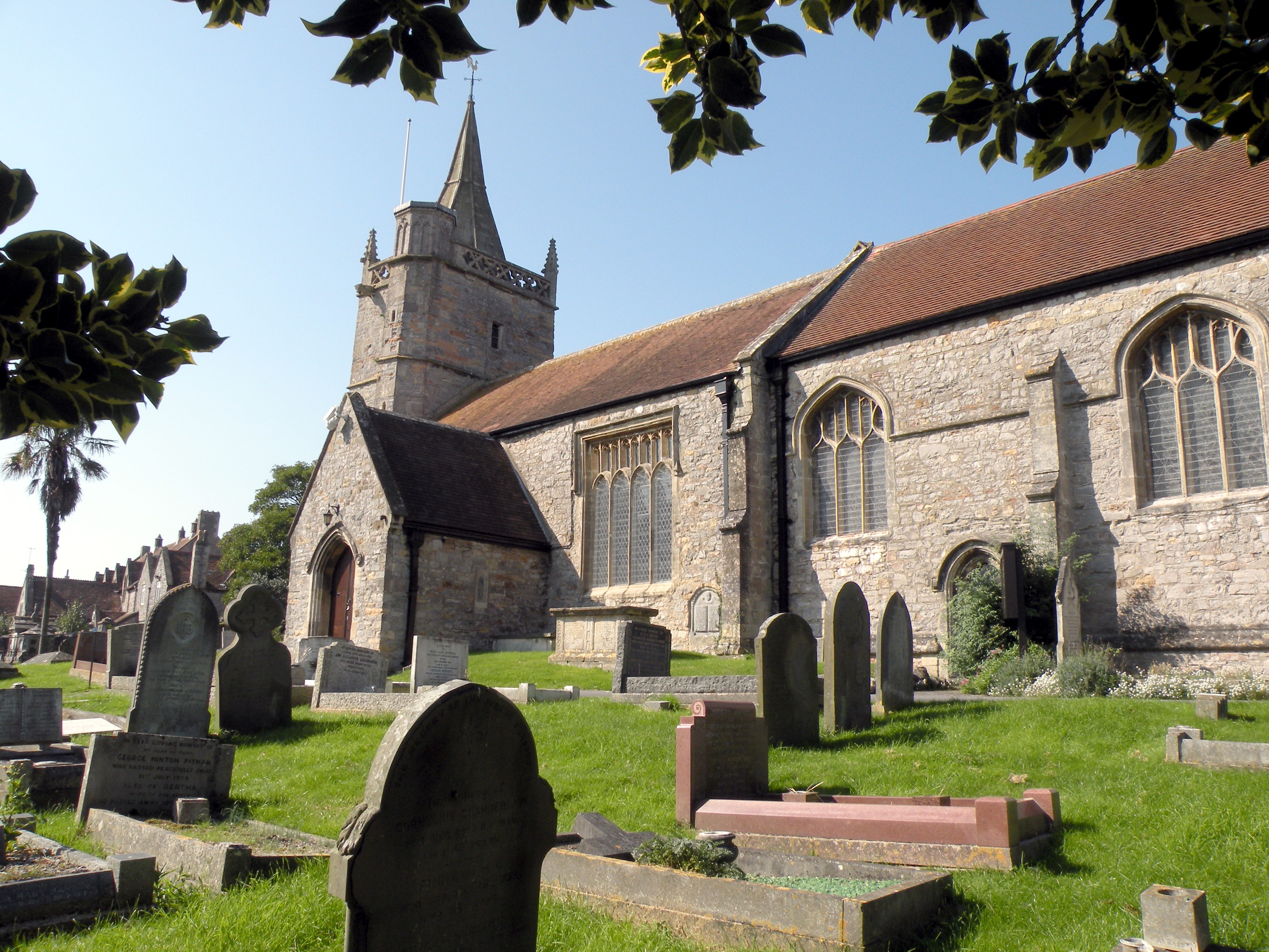
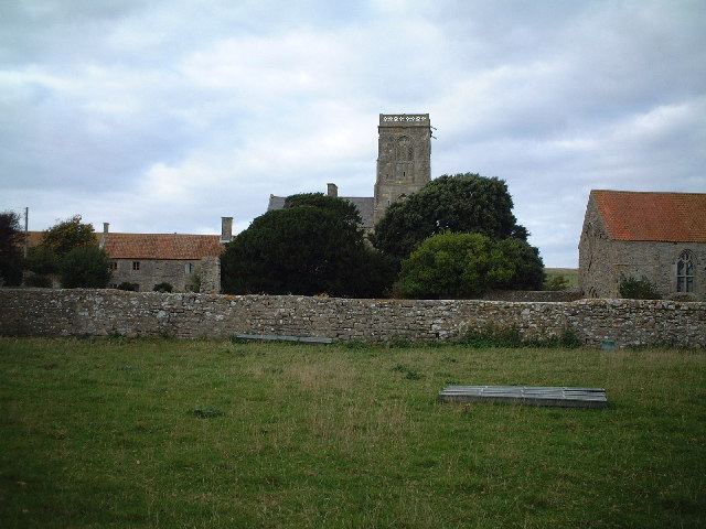
Church of St Martin, Worle
The Church of St Martin in Worle within the English county of Somerset has Norman origins. It is a Grade II* listed building. == History == St Martin's...

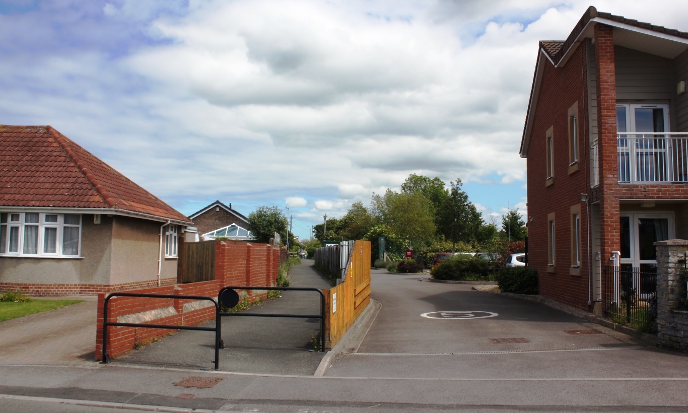
Worle
Worle ( WURL) is a large village in North Somerset which is joined to the seaside town of Weston-super-Mare on its western edge. It, however, maintains...
Bristol Road railway station
Bristol Road railway station served the village of Worle, North Somerset, England, from 1912 to 1940 on the Weston, Clevedon and Portishead Railway....
Milton Road (Somerset) railway station
Milton Road railway station served the suburb of Milton, North Somerset, England, from 1897 to 1940 on the Weston, Clevedon and Portishead Railway. �...
Worle Town railway station
Worle Town railway station served the village of Worle, North Somerset, England, from 1897 to 1940 on the Weston, Clevedon and Portishead Railway. ��2...
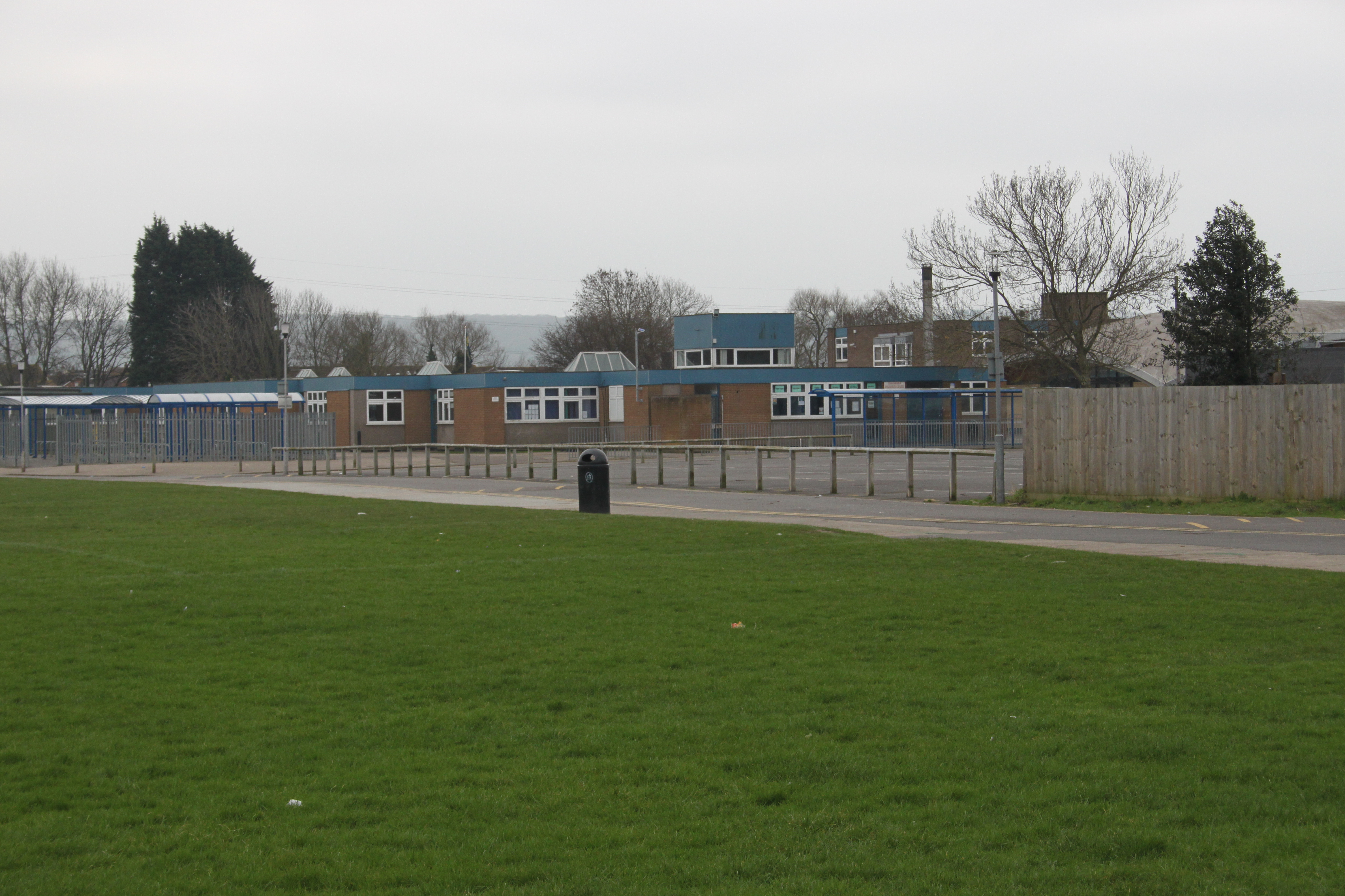
Worle Community School
Worle Community School - an Academy (often shortened to WCSA) is a coeducational secondary school academy located in Worle, a suburb of Weston-super-Mare...
Kewstoke
Kewstoke is a civil parish and village in Somerset, England, within the unitary authority of North Somerset, located next to the strip of coast called...
Castle Batch
Castle Batch was a fortification at Worle that once stood overlooking the town of Weston-super-Mare in Somerset, England. == Details == Castle Batch was...
Nearby Amenities
Located within 500m of 51.364343,-2.9396668Have you been to Worle Hill?
Leave your review of Worle Hill below (or comments, questions and feedback).