Loughrigg Fell
Hill, Mountain in Westmorland South Lakeland
England
Loughrigg Fell

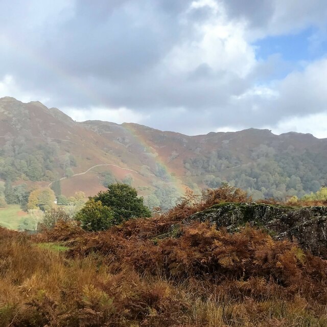
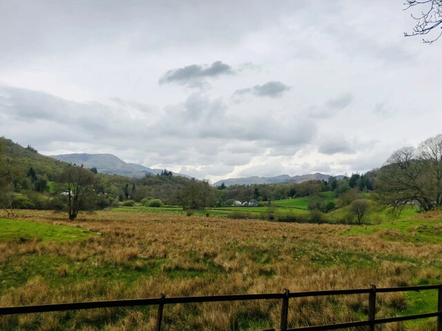
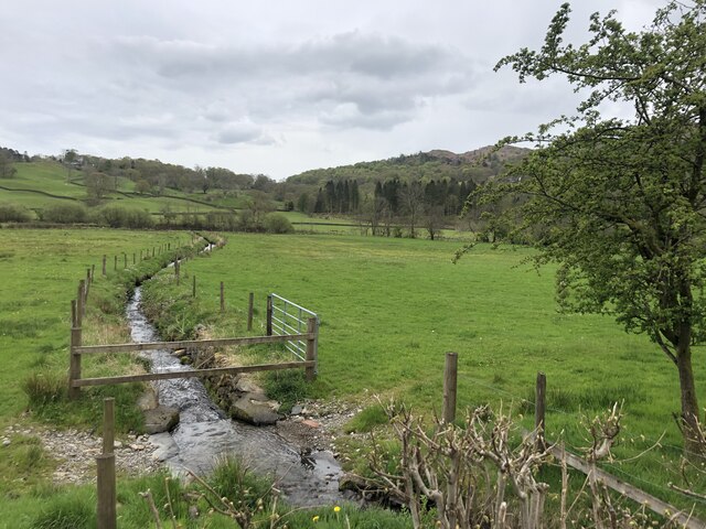
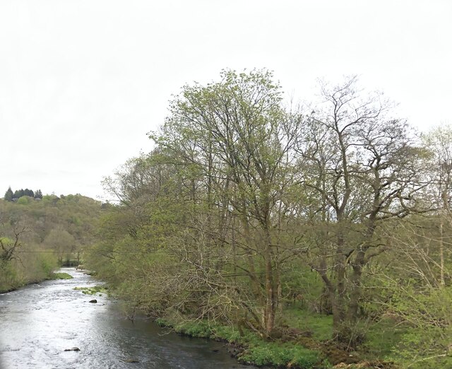
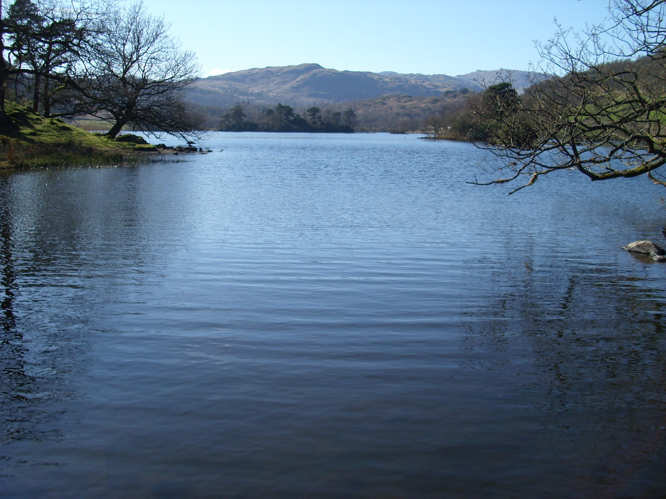
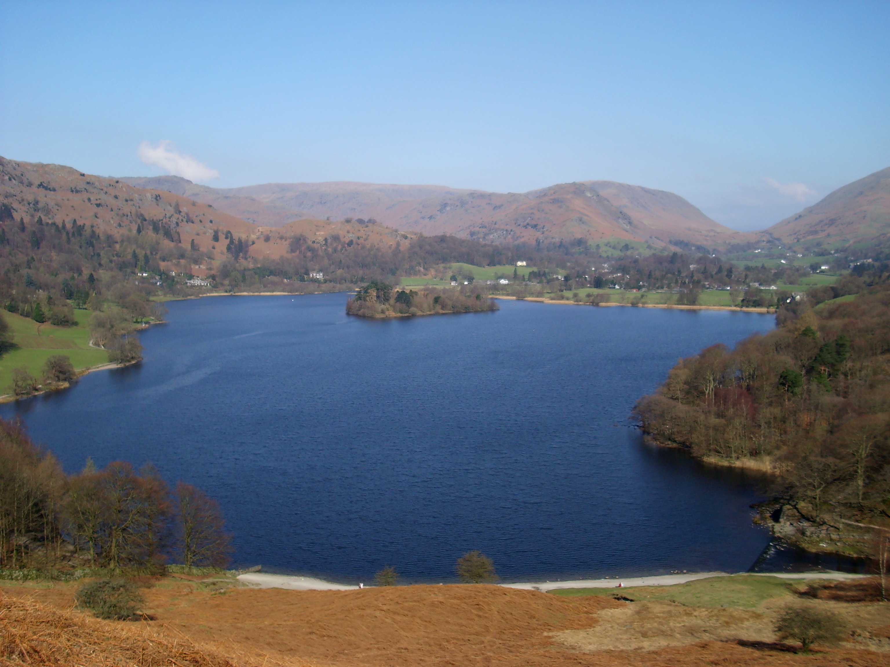
Loughrigg Fell is a prominent hill located in the historic county of Westmorland, England. Standing at a height of 1,099 feet (335 meters), it is often referred to as a fell due to its distinctively rugged and hilly terrain. Situated in the Lake District National Park, Loughrigg Fell offers breathtaking panoramic views of the surrounding landscape.
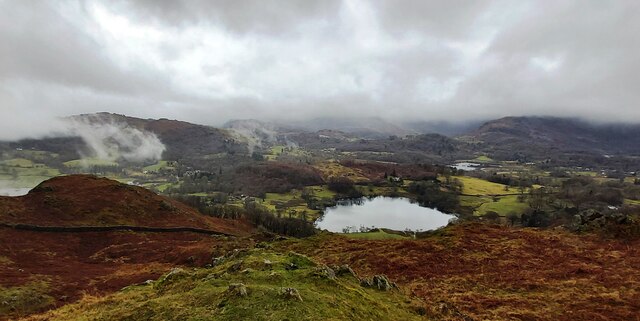
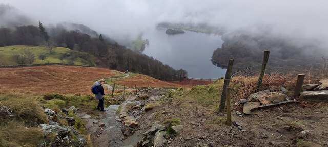
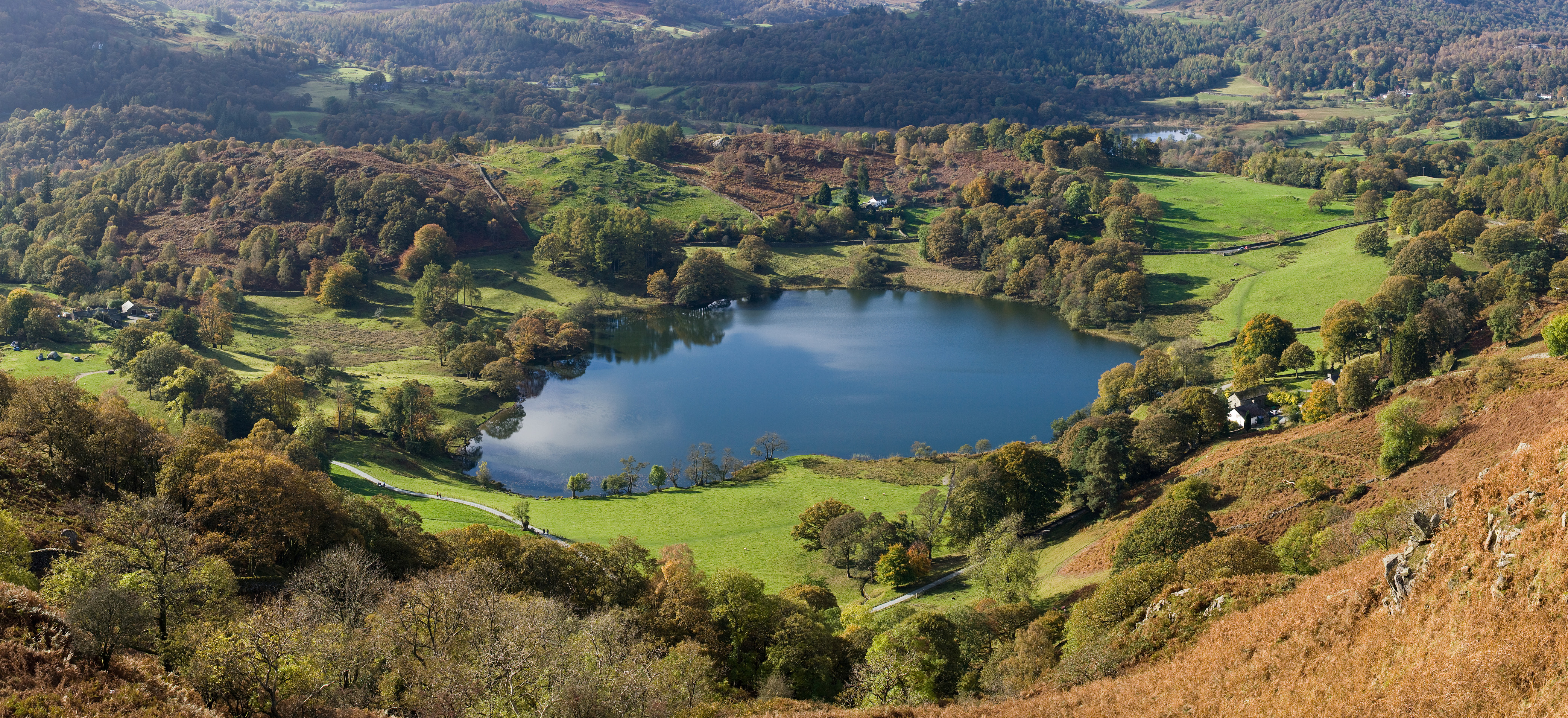
The fell is composed of various rock types, including volcanic and sedimentary formations, which contribute to its unique geological features. Its summit, known as Loughrigg Terrace, provides a vantage point to admire the stunning vistas of Lake Windermere, Rydal Water, and Grasmere.
Loughrigg Fell is a popular destination for outdoor enthusiasts, offering a range of activities such as hiking, walking, and trail running. Numerous well-marked footpaths and trails traverse the fell, allowing visitors to explore its diverse flora and fauna. The area is particularly renowned for its vibrant displays of wildflowers and its rich biodiversity.
In addition to its natural beauty, Loughrigg Fell holds historical significance. The fell is home to several ancient remains, including prehistoric cairns and stone circles, indicating human habitation dating back thousands of years. The area also features remnants of old quarrying activities, which were once a vital part of the local economy.
Overall, Loughrigg Fell offers a compelling combination of natural splendor, recreational opportunities, and historical intrigue. Its accessibility, coupled with its stunning vistas, make it a favored destination for both locals and tourists seeking to immerse themselves in the beauty of the Lake District.
If you have any feedback on the listing, please let us know in the comments section below.
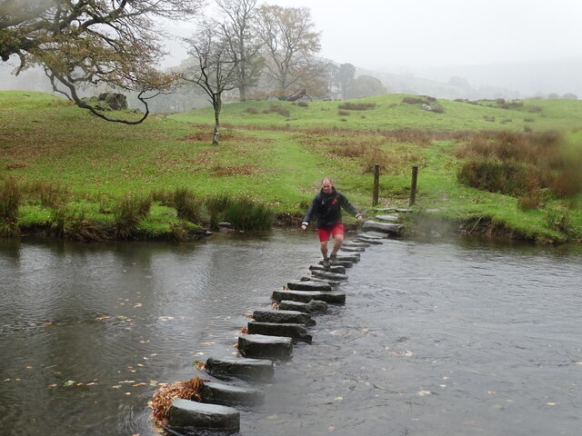
Loughrigg Fell Images
Images are sourced within 2km of 54.437467/-3.0083506 or Grid Reference NY3405. Thanks to Geograph Open Source API. All images are credited.


Loughrigg Fell is located at Grid Ref: NY3405 (Lat: 54.437467, Lng: -3.0083506)
Administrative County: Cumbria
District: South Lakeland
Police Authority: Cumbria
What 3 Words
///boot.twinkling.casino. Near Ambleside, Cumbria
Nearby Locations
Related Wikis

Todd Crag
Todd Crag is a hill and a satellite peak of Loughrigg Fell at 224 m (735 ft) it is not classed as a fell but is a vantage point near Ambleside == Topography... ==

Loughrigg Fell
Loughrigg Fell is a hill in the central part of the English Lake District. It stands on the end of the long ridge coming down from High Raise over Silver...
Loughrigg Tarn
Loughrigg Tarn () is a small, natural lake in the Lake District, Cumbria, England. It is situated north of Windermere, just north of the village of Skelwith...

Lakes, Cumbria
Lakes is a civil parish in the Westmorland and Furness district, in the ceremonial county of Cumbria, England. In the 2001 census the parish had a population...
Rydal Water
Rydal Water is a small body of water in the central part of the English Lake District, in the county of Cumbria. It is located near the hamlet of Rydal...
Grasmere (lake)
Grasmere is one of the smaller lakes of the English Lake District, in the county of Cumbria. It gives its name to the village of Grasmere, famously associated...

Elter Water
Elter Water is a small lake in the Lake District in North West England, half a mile southeast of the village of the same name. It has a length of 0.62...
Fox Ghyll
Fox Ghyll or Foxghyll, earlier Fox Gill, is a historic house near Ambleside in Cumbria, England, and is a Grade II listed building. It is a Regency building...
Nearby Amenities
Located within 500m of 54.437467,-3.0083506Have you been to Loughrigg Fell?
Leave your review of Loughrigg Fell below (or comments, questions and feedback).