Hurcott

Settlement in Worcestershire Wyre Forest

England

Hurcott

Open farmland, east of Kidderminster. Picture taken from the minor road at SO8513 76982, looking south-east towards Offmore Farm, visible on the right of the photograph. Lack of public access limits the scope of recording geographical features within this square.
Open farmland, east of Kidderminster. Credit: Martyn B

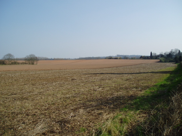
Hurcott is a small village located in the county of Worcestershire, England. Situated in the picturesque countryside, it is nestled between the towns of Kidderminster and Stourport-on-Severn, offering residents a tranquil and rural setting. The village falls within the Wyre Forest District and is part of the civil parish of Stourport-on-Severn.

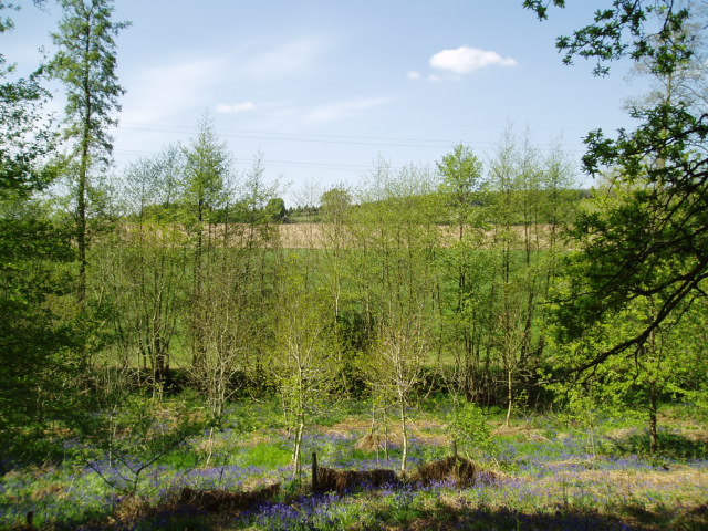
With a population of around 500 people, Hurcott retains its traditional charm and community spirit. The village is characterized by its quaint cottages, many of which date back to the 19th century. These historic buildings, along with the surrounding green fields and rolling hills, contribute to the village's idyllic ambiance.

Despite its small size, Hurcott boasts a strong community infrastructure. The village is home to a primary school, providing education for local children, and a village hall that hosts various events and activities for residents. Additionally, a local pub serves as a gathering place for both villagers and visitors to socialize and enjoy traditional English cuisine.

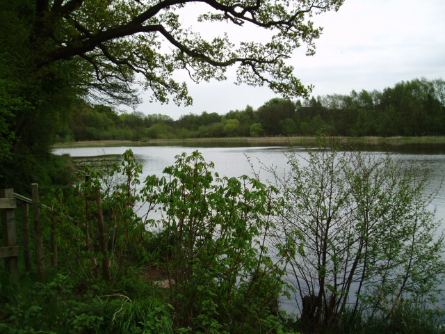
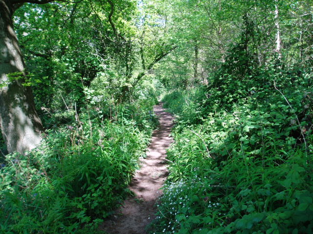
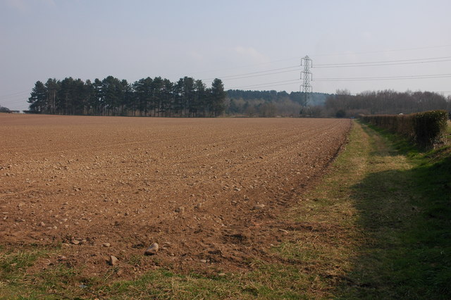
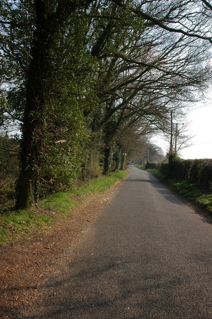
The surrounding countryside offers ample opportunities for outdoor pursuits, with numerous walking and cycling trails. The nearby River Severn is a popular spot for boating and fishing enthusiasts. Hurcott's proximity to larger towns and cities, such as Worcester and Birmingham, allows residents to access a wider range of amenities, including shopping centers, cultural attractions, and employment opportunities.

In summary, Hurcott is a charming village in Worcestershire, known for its rural beauty, strong community spirit, and access to the stunning English countryside.

If you have any feedback on the listing, please let us know in the comments section below.
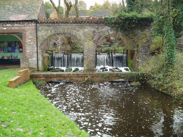
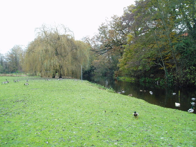
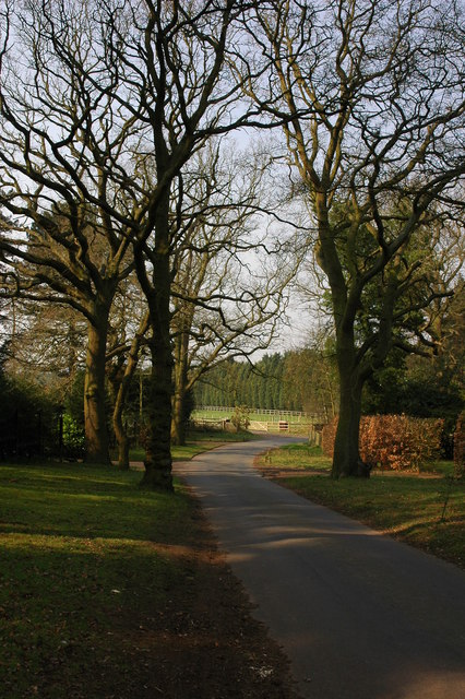
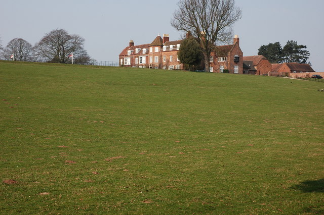
Hurcott Images

Images are sourced within 2km of 52.397277/-2.211456 or Grid Reference SO8577. Thanks to Geograph Open Source API. All images are credited.

Open farmland, east of Kidderminster. Picture taken from the minor road at SO8513 76982, looking south-east towards Offmore Farm, visible on the right of the photograph. Lack of public access limits the scope of recording geographical features within this square.
Open farmland, east of Kidderminster.
Picture taken from the minor road at SO8513 76982, looking south-east towards Offmore Farm, visible on the right of the photograph. Lack of public access limits the scope of recording geographical features within this square.
Hurcott Pool Picture taken from SO 85164 77937, the car park at the west end of the pool, looking east.
Hurcott Pool
Picture taken from SO 85164 77937, the car park at the west end of the pool, looking east.
Around Dunclent, Mount Segg Public access is limited to a footpath across the south-east corner of this square, thus limiting photographic opportunities. The picture is taken from the public footpath at SO 86912 76245, looking north across the farmland towards the southern tip of Bissell Wood.
Around Dunclent, Mount Segg
Public access is limited to a footpath across the south-east corner of this square, thus limiting photographic opportunities. The picture is taken from the public footpath at SO 86912 76245, looking north across the farmland towards the southern tip of Bissell Wood.
Mount Segg Taken from the same location as the main picture at SO 86912 76245, looking north-east along the footpath through woodland at Mount Segg
Mount Segg
Taken from the same location as the main picture at SO 86912 76245, looking north-east along the footpath through woodland at Mount Segg
Broadwaters Mill Broadwaters Mill is situated immediately adjacent to the A449 trunk road, at the foot of the grid square. Picture taken from SO 84138 78036.
Broadwaters Mill
Broadwaters Mill is situated immediately adjacent to the A449 trunk road, at the foot of the grid square. Picture taken from SO 84138 78036.
Broadwaters Mill pool The picture shows the feeder pool situated to the east of Broadwaters Mill. Taken from SO 84166 78026.
Broadwaters Mill pool
The picture shows the feeder pool situated to the east of Broadwaters Mill. Taken from SO 84166 78026.
Kidderminster  Victoria cricket club Tickets were sold for matches through this hole.
Kidderminster Victoria cricket club
Tickets were sold for matches through this hole.
Sandy Lane, Blakedown Along Sandy Lane are a number of very attractive properties.
Sandy Lane, Blakedown
Along Sandy Lane are a number of very attractive properties.
Park Hall, Blakedown
Ploughed field near Blakedown This ploughed field is opposite Woodhouse Farm.
Ploughed field near Blakedown
This ploughed field is opposite Woodhouse Farm.
Waggon Lane Waggon Lane goes to Churchill.
Waggon Lane
Waggon Lane goes to Churchill.
A train crossing a viaduct at Blakedown
Hurcott and pool, Worcestershire
Hurcott Wood, Worcestershire
Trees, Greenhill My attention was drawn to these interlocking trees.
Trees, Greenhill
My attention was drawn to these interlocking trees.
The Broadwaters Inn Looking north-east
The Broadwaters Inn
Looking north-east
Hurcott Wood This footpath leads into the wood along the side of Hurcott Pool.
Hurcott Wood
This footpath leads into the wood along the side of Hurcott Pool.
Show me another place!

Hurcott is located at Grid Ref: SO8577 (Lat: 52.397277, Lng: -2.211456)

Administrative County: Worcestershire

District: Wyre Forest

Police Authority: West Mercia

What 3 Words

///tribal.orbit.from. Near Kidderminster, Worcestershire

Related Wikis

Chester Road North Ground, Kidderminster

The Chester Road North Ground, often referred to simply as Chester Road or Kidderminster, is a cricket ground in Kidderminster, Worcestershire, England...

Axborough

Axborough is a low wooded hill east of Cookley in north Worcestershire, England. == History == Its Saxon name meant hassock grass barrow. This does not...

The Shrubbery, Kidderminster

The Shrubbery is a former military installation in Kidderminster, Worcestershire. It is a Grade II listed building. == History == The building is an early...

Holy Trinity School, Kidderminster

Holy Trinity School is a co-educational free school located in Kidderminster, Worcestershire, England, offering education to children from 4 years up to...

St George's Church, Kidderminster

St George's Church, Kidderminster is a Church of England parish church in Kidderminster, Worcestershire, England. The church is a Grade II* listed building...
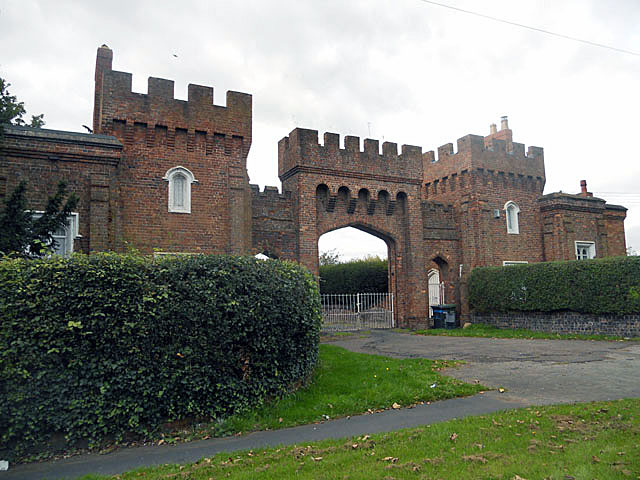
Lea Castle, England

Lea Castle is a ruined Grade II listed Neo Gothic mock castle mansion near Wolverley, England. == History == Lea Castle was built by Edward Knight in 1762...

Wyre Forest School

Wyre Forest School (formerly Stourminster Special School) is a school in Kidderminster, Worcestershire, for students with complex special needs, and...

Blakedown

Blakedown is a village in the Wyre Forest District lying along the A456 in the north of the county of Worcestershire, England. Following enclosures and...

Nearby Amenities

Located within 500m of 52.397277,-2.211456
Bus Stop
Hodge Hill Nurseries
Bench: no
Bin: yes
Bus: yes
Naptan AtcoCode: 2000G502281
Naptan Bearing: W
Naptan CommonName: Hodgehill Nursery
Naptan Indicator: adj
Naptan Landmark: Hodgehill Nursery
Naptan NaptanCode: wocgmpgd
Naptan PlusbusZoneRef: KDRMNST
Naptan Street: Birmingham Road
Naptan Verified: no
Public Transport: platform
Shelter: no
Source: naptan_import
Tactile Paving: no
Lat/Long: 52.3945303/-2.2107268
Bus Stop
Hodge Hill Nurseries
Bench: no
Bin: no
Bus: yes
Naptan AtcoCode: 2000G502291
Naptan Bearing: E
Naptan CommonName: Hodgehill Nursery
Naptan Indicator: opp
Naptan Landmark: Hodgehill Nursery
Naptan NaptanCode: wocgjtmp
Naptan PlusbusZoneRef: KDRMNST
Naptan Street: Birmingham Road
Naptan Verified: no
Public Transport: platform
Shelter: no
Source: naptan_import
Tactile Paving: no
Lat/Long: 52.3948087/-2.2109192
Board Type: wildlife
Description: About Grebes birds
Information: board
Tourism: information
Lat/Long: 52.3996755/-2.216492
Bench
Backrest: yes
Material: wood
Lat/Long: 52.3997351/-2.2163024
Bench
Backrest: yes
Material: wood
Lat/Long: 52.3997506/-2.2163651
Railway: crossing
Lat/Long: 52.393239/-2.2096372
Railway: crossing
Lat/Long: 52.3932016/-2.2096195
Give Way
Source: bing
Lat/Long: 52.3947261/-2.2105332
Give Way
Source: bing
Lat/Long: 52.3946312/-2.210438
Give Way
Source: bing
Lat/Long: 52.394785/-2.2103789
The data included in this document is from www.openstreetmap.org. The data is made available under ODbL.

Have you been to Hurcott?

Leave your review of Hurcott below (or comments, questions and feedback).