Annets Hill

Hill, Mountain in Fife

Scotland

Annets Hill

Hill Road, Kennoway
Hill Road, Kennoway Credit: James Allan

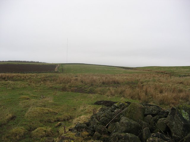
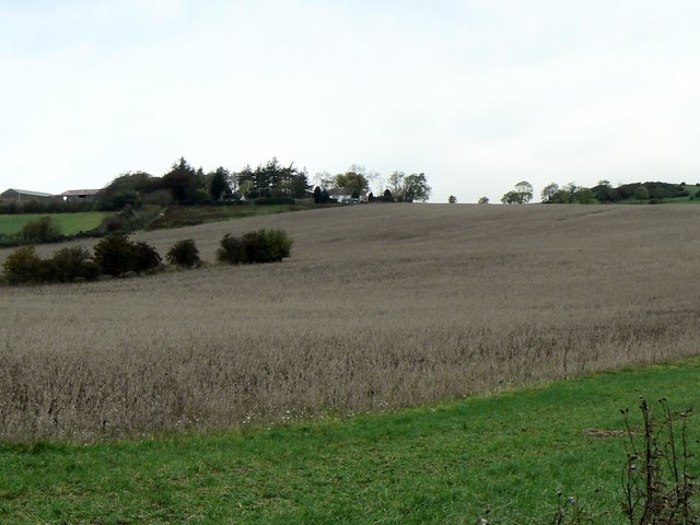
Annets Hill, located in Fife, Scotland, is a notable hill with an elevation of approximately 163 meters (535 feet). Situated near the village of Auchtermuchty, the hill is a prominent feature in the local landscape, offering picturesque views of the surrounding countryside.

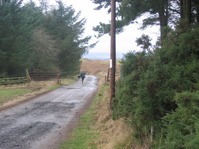
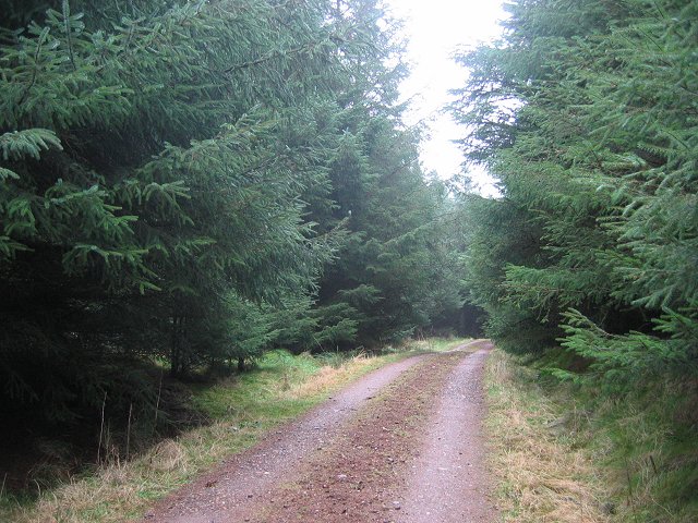
Annets Hill is a popular destination for outdoor enthusiasts, hikers, and nature lovers. The hill boasts well-maintained footpaths and trails, making it easily accessible for visitors of all ages and fitness levels. The ascent to the summit is relatively gentle, making it an ideal spot for a leisurely walk or a family outing.

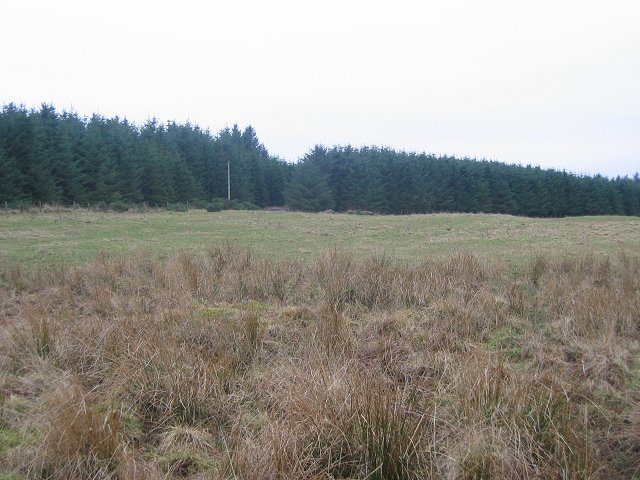
From the top of Annets Hill, visitors can enjoy panoramic views of the rolling hills, lush green fields, and charming villages that characterize the Fife region. On a clear day, it is even possible to catch a glimpse of the nearby Lomond Hills, another prominent natural landmark in the area.

The hill is also known for its rich biodiversity, with a variety of flora and fauna that call it home. Visitors may encounter wildflowers, birds, and small mammals as they explore the hillside.

In addition to its natural beauty, Annets Hill holds historical significance. The area has been inhabited since ancient times, and archaeological remains have been discovered nearby, including Bronze Age artifacts. The hill's proximity to Auchtermuchty, a historic village with its own cultural heritage, adds to its appeal as a destination for those interested in exploring Scotland's past.

Overall, Annets Hill is a captivating natural landmark in Fife, offering visitors a chance to immerse themselves in the region's stunning scenery and rich history.

If you have any feedback on the listing, please let us know in the comments section below.

Annets Hill Images

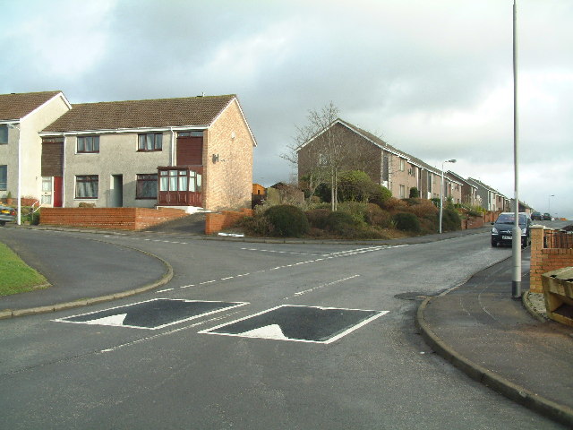
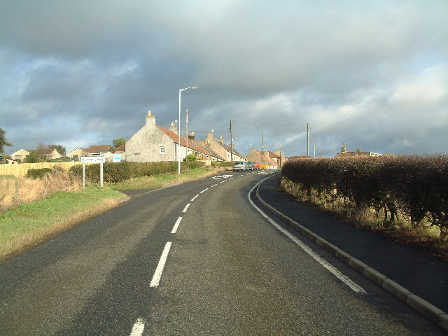
Images are sourced within 2km of 56.227432/-3.0616279 or Grid Reference NO3404. Thanks to Geograph Open Source API. All images are credited.

Hill Road, Kennoway
Hill Road, Kennoway
Bonnybank Road into village from Kennoway
Bonnybank
Road into village from Kennoway
Langside Hill Quarried hill above Kennoway. View northward.
Langside Hill
Quarried hill above Kennoway. View northward.
Lalathan Farm drive. The whin slopes on the left were wooded on the 1940s map. View E.
Lalathan
Farm drive. The whin slopes on the left were wooded on the 1940s map. View E.
Clatto Hill Gap between Devon Wood and Clatto Hill plantations looking west. The dog walker was very interested in my registration plate. With good reason, loads of fly tipping going on here.
Clatto Hill
Gap between Devon Wood and Clatto Hill plantations looking west. The dog walker was very interested in my registration plate. With good reason, loads of fly tipping going on here.
Farmland above Devon A lot of land here is wooded, but this is still farmland. Another wind prospecting mast suggests changes possible. The cairn is made of rocks cleared from the land. Looking north.
Farmland above Devon
A lot of land here is wooded, but this is still farmland. Another wind prospecting mast suggests changes possible. The cairn is made of rocks cleared from the land. Looking north.
Devon Wood Thick spruce c/o The Forestry Commission.
Devon Wood
Thick spruce c/o The Forestry Commission.
Devon Wood. Much of the square is forestry. Here for a change from a road in deep Sitka is a view of the forest edge. Looking SE. The foreground is wet farmland.
Devon Wood.
Much of the square is forestry. Here for a change from a road in deep Sitka is a view of the forest edge. Looking SE. The foreground is wet farmland.
Devon Common Horsey looking place. I just squeezed into the square to get this photo. View W.
Devon Common
Horsey looking place. I just squeezed into the square to get this photo. View W.
Outside Devon quarry. Instructions to traffic outside the quarry/landfill
Outside Devon quarry.
Instructions to traffic outside the quarry/landfill
Devon Quarry The entrance to the quarry/landfill site.
Devon Quarry
The entrance to the quarry/landfill site.
Bird scarer, Ballinkirk A simple scarecrow amongst newly sown fields.
Bird scarer, Ballinkirk
A simple scarecrow amongst newly sown fields.
Drummy Wood Ride in this conifer wood which is currently undergoing a lot of clear felling. Looking south.
Drummy Wood
Ride in this conifer wood which is currently undergoing a lot of clear felling. Looking south.
Coming into Baintown Entrance to a hamlet on a back road north of Kennoway
Coming into Baintown
Entrance to a hamlet on a back road north of Kennoway
North Mains Residential development of a ruined farm steading near the Donald Rose reservoir.
North Mains
Residential development of a ruined farm steading near the Donald Rose reservoir.
Pylons Power-lines and their pylons bisect this square in a north/south direction
Pylons
Power-lines and their pylons bisect this square in a north/south direction
Drummaird track Track linking Drummaird farm and Bonnybank village.
Drummaird track
Track linking Drummaird farm and Bonnybank village.
Balgriebank Aptly-named White Cottage (centre) and Balgriebank Farm to the left on the horizon.
Balgriebank
Aptly-named White Cottage (centre) and Balgriebank Farm to the left on the horizon.
Show me another place!

Annets Hill is located at Grid Ref: NO3404 (Lat: 56.227432, Lng: -3.0616279)

Unitary Authority: Fife

Police Authority: Fife

What 3 Words

///mural.clashing.damage. Near Kennoway, Fife

Nearby Locations

Torloisk Wood Annets Hill

Related Wikis

Bonnybank

Bonnybank is a small village in the Levenmouth area of Fife, approximately 2 miles north of Leven and situated on the main road (the A916) between Kennoway...

Baintown

Baintown is a hamlet located in Fife, a council area of Scotland, UK.

Kennoway

Kennoway is a village in Fife, Scotland, near the larger population centres in the area of Leven and Methil. It had an estimated population of 4,570 in...

Star, Fife

Star, also known as Star of Markinch (and historically as Star of Brunton or Star of Dalginch)), is a small village in Fife, Scotland. The name of Star...

Nearby Amenities

Located within 500m of 56.227432,-3.0616279
Power: pole
Lat/Long: 56.2248171/-3.0619423
Power: pole
Lat/Long: 56.2249479/-3.0603195
Power: pole
Lat/Long: 56.2243953/-3.0594648
Power: pole
Lat/Long: 56.2232974/-3.0604632
Power: pole
Lat/Long: 56.2237661/-3.0600581
Power: pole
Lat/Long: 56.2250796/-3.0588981
Power: pole
Lat/Long: 56.2247357/-3.063251
Power: pole
Lat/Long: 56.2252442/-3.0643239
Power: pole
Lat/Long: 56.226049/-3.058036
Location: pole
Power: transformer
Lat/Long: 56.2259243/-3.0592591
Power: pole
Lat/Long: 56.2261672/-3.0568406
Power: pole
Lat/Long: 56.2262591/-3.0555723
Power: pole
Lat/Long: 56.2264559/-3.0543224
The data included in this document is from www.openstreetmap.org. The data is made available under ODbL.

Have you been to Annets Hill?

Leave your review of Annets Hill below (or comments, questions and feedback).