Black Rhadley Hill

Hill, Mountain in Shropshire

England

Black Rhadley Hill

Old Beech avenue on Linley Hill This lovely section of the Shropshire Way has an avenue of Beech trees planted either side of it. The Beeches were planted by British ex-soldiers following the victory over the French in the Napoleonic Wars of the early 19th century. It was possibly a scheme whereby large numbers of ex-servicemen not engaged in the occupation of France but returned to home soil could gain 'employment' from a grateful nation keen to recognise and commemorate the victory, the men's service and provide a benefit for the landscape in terms of a new and lasting visual amenity. So these old rotting trunks are around or nearly 200 years old. Some efforts have been made to preserve the integrity of the avenue with new planting, which is good to see.
Old Beech avenue on Linley Hill Credit: Jeremy Bolwell

Black Rhadley Hill is a prominent natural landmark located in Shropshire, England. Situated in the western part of the county, it is part of the larger Shropshire Hills Area of Outstanding Natural Beauty. Despite its name, Black Rhadley Hill is not a mountain but rather a hill that rises to an elevation of approximately 400 meters (1,312 feet) above sea level.

The hill is characterized by its distinctive dark and craggy appearance, which is attributed to the presence of exposed rocks and boulders. Its geology mainly consists of limestone and dolomite, contributing to its rugged and dramatic landscape. The hill is surrounded by lush green pastures and farmland, offering picturesque views of the surrounding countryside.

Black Rhadley Hill is a popular destination for outdoor enthusiasts and nature lovers. It provides an excellent vantage point for panoramic views of the Shropshire Hills, with visibility extending to neighboring counties on clear days. The area is crisscrossed by several walking trails, allowing visitors to explore and appreciate the natural beauty of the hill and its surroundings. The hill is also home to a variety of flora and fauna, including native wildflowers and bird species.

Due to its significance as a natural landmark, Black Rhadley Hill is protected and managed by various conservation organizations. These efforts aim to preserve the ecological integrity of the area while ensuring that it remains accessible for recreational purposes.

If you have any feedback on the listing, please let us know in the comments section below.

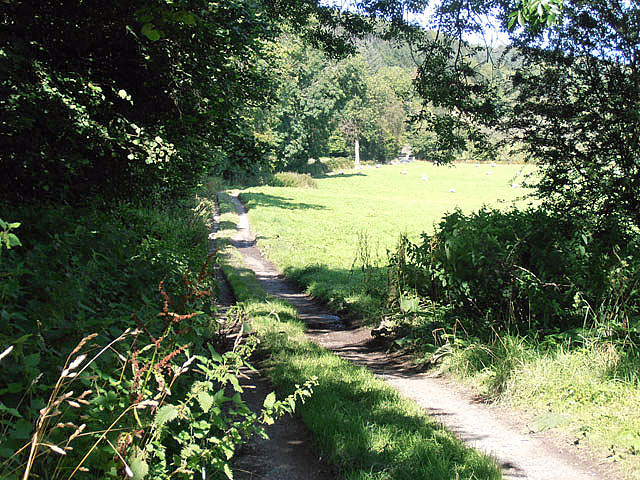
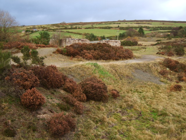
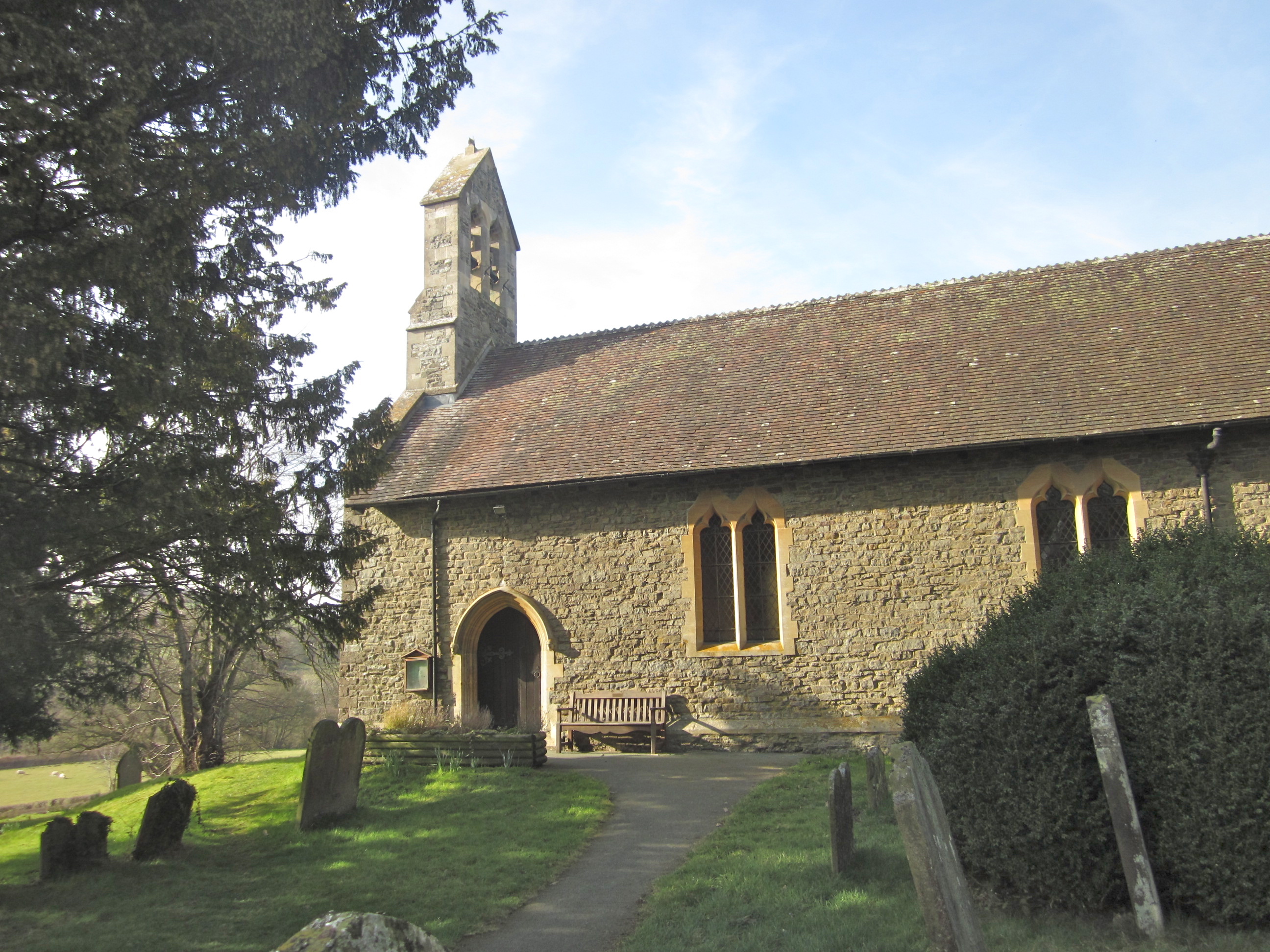
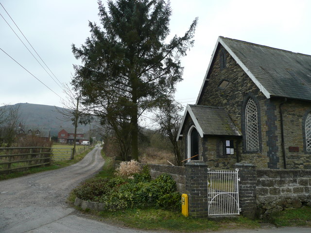
Black Rhadley Hill Images

Images are sourced within 2km of 52.554237/-2.9708468 or Grid Reference SO3495. Thanks to Geograph Open Source API. All images are credited.

Old Beech avenue on Linley Hill This lovely section of the Shropshire Way has an avenue of Beech trees planted either side of it. The Beeches were planted by British ex-soldiers following the victory over the French in the Napoleonic Wars of the early 19th century. It was possibly a scheme whereby large numbers of ex-servicemen not engaged in the occupation of France but returned to home soil could gain 'employment' from a grateful nation keen to recognise and commemorate the victory, the men's service and provide a benefit for the landscape in terms of a new and lasting visual amenity. So these old rotting trunks are around or nearly 200 years old. Some efforts have been made to preserve the integrity of the avenue with new planting, which is good to see.
Old Beech avenue on Linley Hill
This lovely section of the Shropshire Way has an avenue of Beech trees planted either side of it. The Beeches were planted by British ex-soldiers following the victory over the French in the Napoleonic Wars of the early 19th century. It was possibly a scheme whereby large numbers of ex-servicemen not engaged in the occupation of France but returned to home soil could gain 'employment' from a grateful nation keen to recognise and commemorate the victory, the men's service and provide a benefit for the landscape in terms of a new and lasting visual amenity. So these old rotting trunks are around or nearly 200 years old. Some efforts have been made to preserve the integrity of the avenue with new planting, which is good to see.
Lane running past Rock Farm The lane got narrower, and the grass in the middle higher.
Lane running past Rock Farm
The lane got narrower, and the grass in the middle higher.
The Rock at Rock Farm Seen from the lane.
The Rock at Rock Farm
Seen from the lane.
Lane dropping down to Rock Farm The northwards section from the farm must be more heavily used, as it is almost grass-free.
Lane dropping down to Rock Farm
The northwards section from the farm must be more heavily used, as it is almost grass-free.
Nettles and trees The edge of a field west of Rock Farm.
Nettles and trees
The edge of a field west of Rock Farm.
Wooded hillside west of Rock Farm Seen from the lane.
Wooded hillside west of Rock Farm
Seen from the lane.
Down beyond The Rock on Stiperstones Ridge A more remote part of the Stiperstones.
Down beyond The Rock on Stiperstones Ridge
A more remote part of the Stiperstones.
Part of the Stiperstones ridge, near Black Rhadley Hill Purple heather, red tinted whinberry and yellow grasses make the end of the Stiperstones ridge a colourful place. The view ahead is to Black Rhadley Hill.
Part of the Stiperstones ridge, near Black Rhadley Hill
Purple heather, red tinted whinberry and yellow grasses make the end of the Stiperstones ridge a colourful place. The view ahead is to Black Rhadley Hill.
Walking near The Rock on Stiperstones ridge This is as close to wilderness walking as you can get in a county like Shropshire. It's not remote but feels like it as it is not often visited.
Walking near The Rock on Stiperstones ridge
This is as close to wilderness walking as you can get in a county like Shropshire. It's not remote but feels like it as it is not often visited.
Information board below Nipstone Rock, Stiperstones This board gives background on the 'Back to Purple' initiative whereby the whole of the Stiperstones ridge has been restored to heather after a few decades with significant sections under forestry plantation. In August the heather blooms a startling purple now once again.
Information board below Nipstone Rock, Stiperstones
This board gives background on the 'Back to Purple' initiative whereby the whole of the Stiperstones ridge has been restored to heather after a few decades with significant sections under forestry plantation. In August the heather blooms a startling purple now once again.
A  Raven on Nipstone Rock He took off circled overhead and croaked a call and glided back to his rocky lookout post.
A Raven on Nipstone Rock
He took off circled overhead and croaked a call and glided back to his rocky lookout post.
Quiet farmtrack
Quiet farmtrack
Heather on the hillside
Shropshire Way on Linley Hill
Walkers on an ill defined path
Little used pathway
Little used pathway
Heath Mynd Parked in triangular roadside bit and looped round the back and up and over. Very heathery and lots of bilberries.
Name: Heath Mynd
Hill number: 2842
Height: 452m / 1483ft
Area: 38A: Shropshire
Class: Ma
Grid ref: SO 33560 94085
Summit feature: trig point
Drop: 190m
Col: 262m  SO324944
Heath Mynd
Parked in triangular roadside bit and looped round the back and up and over. Very heathery and lots of bilberries. Name: Heath Mynd Hill number: 2842 Height: 452m / 1483ft Area: 38A: Shropshire Class: Ma Grid ref: SO 33560 94085 Summit feature: trig point Drop: 190m Col: 262m SO324944
A very alpine Shropshire! This is at the southern end of the Stiperstones.
A very alpine Shropshire!
This is at the southern end of the Stiperstones.
Show me another place!

Black Rhadley Hill is located at Grid Ref: SO3495 (Lat: 52.554237, Lng: -2.9708468)

Unitary Authority: Shropshire

Police Authority: West Mercia

What 3 Words

///homes.gazed.extremely. Near Norbury, Shropshire

Related Wikis

Heath Mynd

Heath Mynd is a hill in the English county of Shropshire. At a height of 452 metres (1,483 ft) it is fairly unnotable except for its Marilyn status, a...

The Bog

The Bog is a former mining community in Shropshire, England. It lies 6 miles (10 km) north of Bishops Castle, east of the A488, at grid reference SO355979...

Linley, More

Linley is a hamlet in the civil parish of More, in Shropshire, England. The hamlet is located approximately 2 miles (3.2 km) east of the A488 road, and...

Hyssington

Hyssington (Welsh: Isatyn) is a parish in the South-Eastern corner of the historic county of Montgomeryshire in Wales and borders the county of Shropshire...

White Grit

White Grit is a small, scattered village beneath Corndon Hill in Powys, Wales, directly on the border with (and partly in) Shropshire. The nearby village...

Shelve, Shropshire

Shelve is a hamlet and former civil parish, now in the parish of Worthen with Shelve in Shropshire district of Shropshire, England. It is to the west of...

Norbury, Shropshire

Norbury (/norĂ° burh/) is a small village and civil parish in Shropshire, England. It lies to the west of the Long Mynd and the nearest town is Bishop's...

Corndon Hill

Corndon Hill (Welsh: Cornatyn) is a hill in Powys, Mid Wales, whose isolated summit rises to 513.6 metres (1,685 ft) above sea level. It has a topographic...

Nearby Amenities

Located within 500m of 52.554237,-2.9708468
Black Rhadley Hill
Ele: 401
Natural: peak
Source: npe
Lat/Long: 52.5541896/-2.9708252
Man Made: mineshaft
Lat/Long: 52.5540686/-2.9739708
Give Way
Direction: backward
Lat/Long: 52.5517523/-2.9656087
The data included in this document is from www.openstreetmap.org. The data is made available under ODbL.

Have you been to Black Rhadley Hill?

Leave your review of Black Rhadley Hill below (or comments, questions and feedback).