Arnside Intake
Hill, Mountain in Lancashire South Lakeland
England
Arnside Intake
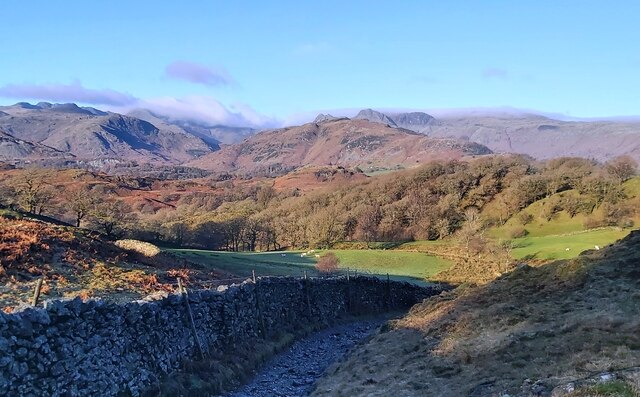
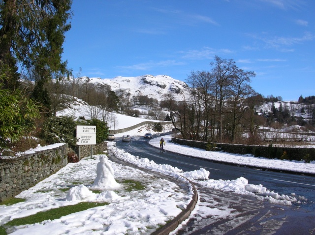
Arnside Intake is a picturesque hill located in the county of Lancashire, England. Situated near the village of Arnside, this natural beauty spot is part of the Arnside and Silverdale Area of Outstanding Natural Beauty.
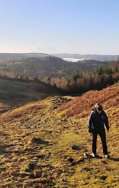
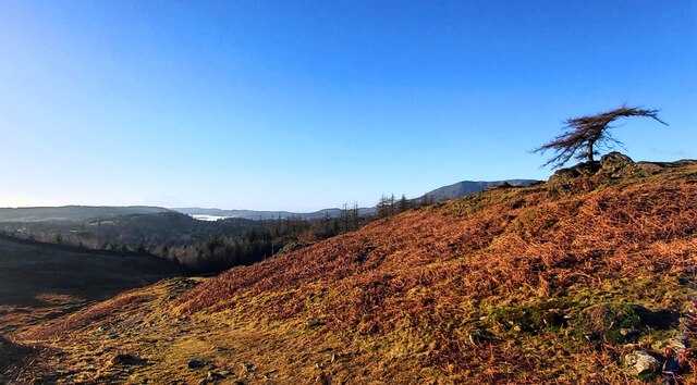
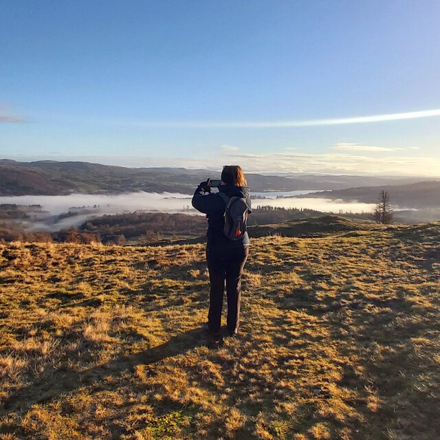
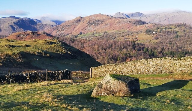
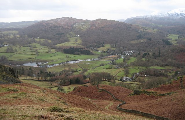
The hill rises to an elevation of approximately 159 meters (522 feet) above sea level, making it a prominent landmark in the region. It offers breathtaking panoramic views of the surrounding countryside, including the lush green valleys, rolling hills, and the stunning coastline of Morecambe Bay.
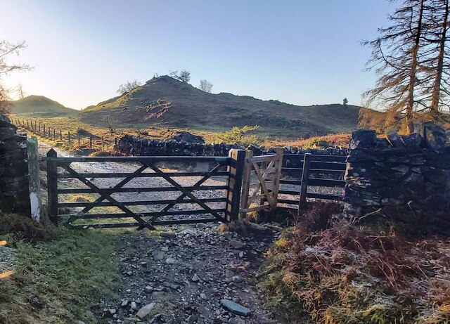
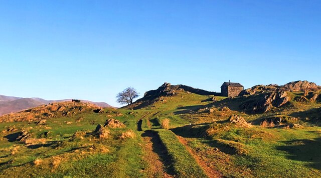
Arnside Intake is a popular destination for outdoor enthusiasts, hikers, and nature lovers alike. The well-defined paths and trails that crisscross the area provide excellent opportunities for walking, hiking, and exploring the diverse flora and fauna that call this hillside home. Visitors may come across a variety of wildlife, including birds, butterflies, and small mammals, as they traverse the hill's slopes.
The hill is also known for its historical significance. It is believed to have been used as a site for farming and grazing livestock for centuries. The presence of ancient stone walls and remnants of old farm buildings serves as a reminder of the area's rich agricultural past.
Access to Arnside Intake is relatively easy, with car parking facilities available nearby. The hill is also accessible by foot, with several footpaths leading to its summit. Visitors are advised to wear appropriate footwear and be prepared for changes in weather conditions, as the summit can be windy and exposed.
Overall, Arnside Intake offers a serene and tranquil experience, allowing visitors to immerse themselves in the natural beauty and history of this remarkable Lancashire hill.
If you have any feedback on the listing, please let us know in the comments section below.
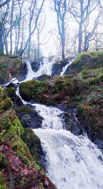
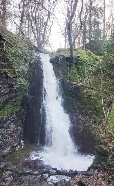
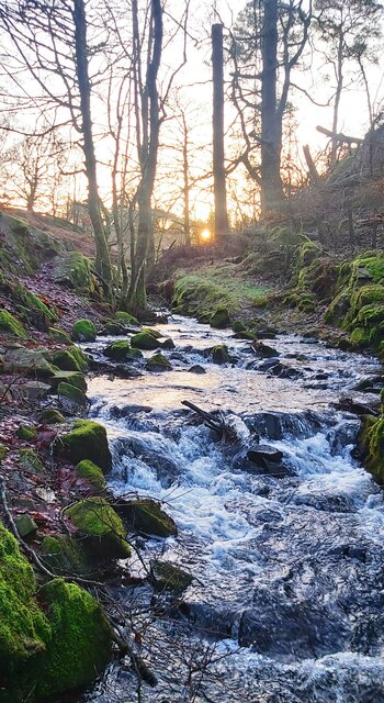
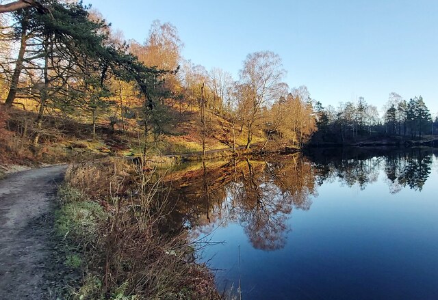
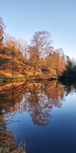
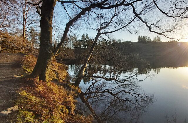
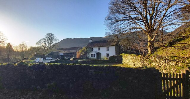
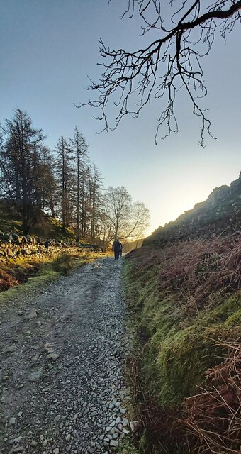
Arnside Intake Images
Images are sourced within 2km of 54.400608/-3.0277334 or Grid Reference NY3301. Thanks to Geograph Open Source API. All images are credited.


Arnside Intake is located at Grid Ref: NY3301 (Lat: 54.400608, Lng: -3.0277334)
Administrative County: Cumbria
District: South Lakeland
Police Authority: Cumbria
What 3 Words
///rents.cats.reissued. Near Ambleside, Cumbria
Nearby Locations
Related Wikis
Black Fell (Lake District)
Black Fell is a fell in the English Lake District. It rises to the north of Tarn Hows, between Coniston and Hawkshead. == Topography == Black Fell is the...

Yew Tree Tarn
Yew Tree Tarn is a small lake in the English Lake District situated in between the towns of Ambleside and Coniston. The tarn was formed when the local...
Skelwith
Skelwith is a civil parish in South Lakeland, Cumbria, England, which includes the village of Skelwith Bridge. In the 2001 census the parish had a population...

Holme Fell
Holme Fell or Holm Fell is a fell in the Lake District in Cumbria, England. It is located between Coniston Water and Little Langdale, almost isolated from...
Related Videos


DUCK WALKING WITH HER HUMAN MUM #cuteanimals #petduck #funnypets
In this short our faithful duck walks beside her Mum as we continue on our family holiday in the Lake District. #lakedistrict ...


Skelwith Force waterfall, Colwith Force waterfall and Slater Bridge from Elterwater (Full Walk)
Walk Summary* This Skelwith Force, Colwith Force and Slater Bridge walk from Elterwater in the Lake District, starts from the ...
Nearby Amenities
Located within 500m of 54.400608,-3.0277334Have you been to Arnside Intake?
Leave your review of Arnside Intake below (or comments, questions and feedback).