Coremachy

Hill, Mountain in Angus

Scotland

Coremachy

Island on dry land After a dry summer, the River South Esk is rarely more than a foot deep. But here it widens for a moment and creates a still, dark, deep water.
Island on dry land Credit: Aleks Scholz

Coremachy is a picturesque hill located in the county of Angus, Scotland. Situated in the eastern part of the country, Coremachy is part of the Grampian Mountains range and stands at an elevation of approximately 715 meters (2,345 feet) above sea level.

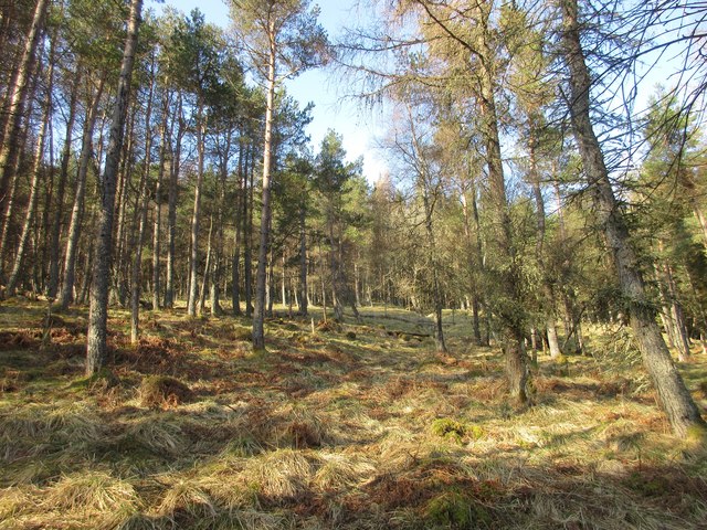
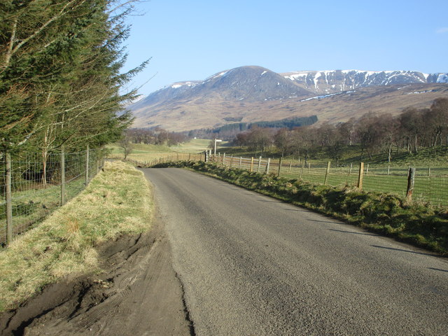
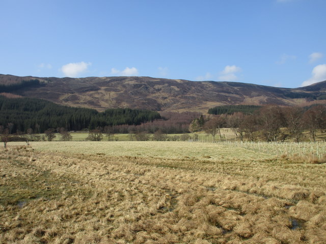
Known for its rugged and majestic beauty, Coremachy offers breathtaking panoramic views of the surrounding landscape. The hill is covered in a patchwork of heather moorland, grassy slopes, and scattered rocky outcrops, creating a diverse and visually stunning environment. Its remote location and untouched wilderness make it a popular destination for outdoor enthusiasts, hikers, and nature lovers.

At the summit of Coremachy, visitors are rewarded with a stunning vista that stretches for miles, showcasing the rolling hills, glens, and valleys of Angus. On clear days, it is even possible to catch a glimpse of the North Sea sparkling in the distance.

The hill is home to a variety of wildlife, including red deer, mountain hares, and various bird species, making it a haven for nature enthusiasts and birdwatchers. The surrounding area is also steeped in history, with numerous ancient sites and ruins scattered throughout, providing a glimpse into the rich cultural heritage of the region.

Coremachy offers a tranquil escape from the hustle and bustle of everyday life, providing visitors with the opportunity to immerse themselves in the beauty of nature while enjoying the peace and serenity of this Scottish gem.

If you have any feedback on the listing, please let us know in the comments section below.
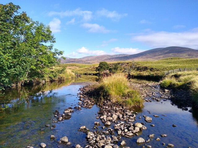
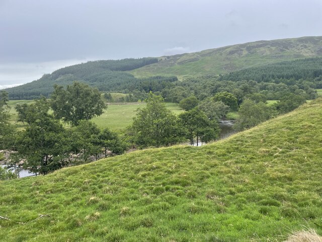
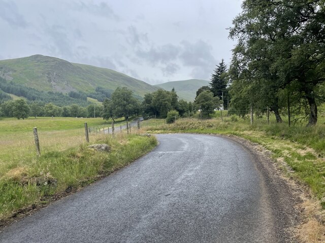
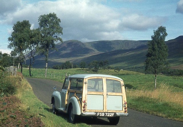
Coremachy Images

Images are sourced within 2km of 56.822613/-3.0936954 or Grid Reference NO3370. Thanks to Geograph Open Source API. All images are credited.

Island on dry land After a dry summer, the River South Esk is rarely more than a foot deep. But here it widens for a moment and creates a still, dark, deep water.
Island on dry land
After a dry summer, the River South Esk is rarely more than a foot deep. But here it widens for a moment and creates a still, dark, deep water.
Just see the River
Just see the River
Glen Clova back road
Glen Clova private fishing loch
Pasture at Caddam in Glen Clova A rainbow over Clova with Ben Reid on the horizon.
Pasture at Caddam in Glen Clova
A rainbow over Clova with Ben Reid on the horizon.
Loch Heath An artificial fishing loch.
Loch Heath
An artificial fishing loch.
Glen Clova
Glen Clova
Drums Plantation Looking up the western side of Glen Clova at Drums Plantation.
Drums Plantation
Looking up the western side of Glen Clova at Drums Plantation.
B955 heading for Clova The B955 heading north-westwards with Ben Reid and the snow-flecked Corrie of Clova in the distance.
B955 heading for Clova
The B955 heading north-westwards with Ben Reid and the snow-flecked Corrie of Clova in the distance.
Loch Heath Loch Heath reflecting Ben Reid and the Corrie of Clova.
Loch Heath
Loch Heath reflecting Ben Reid and the Corrie of Clova.
Marchburn Cottage Marchburn viewed from the B955 road.
Marchburn Cottage
Marchburn viewed from the B955 road.
Looking across Glen Clova Looking westwards across the glen from the eastern side of the B955.
Looking across Glen Clova
Looking westwards across the glen from the eastern side of the B955.
The minister's path Tradition has it that the minister from Glen Prosen Kirk also preached in the Kirk of Glen Clova and made his way between them along this hill track across the moor. Some say he walked, some that he rode a pony and others that he used a pony and trap. Along this section he could well have used any of these methods.
The minister's path
Tradition has it that the minister from Glen Prosen Kirk also preached in the Kirk of Glen Clova and made his way between them along this hill track across the moor. Some say he walked, some that he rode a pony and others that he used a pony and trap. Along this section he could well have used any of these methods.
The minister's path Tradition has it that the minister from Glen Prosen Kirk also preached in the Kirk of Glen Clova and made his way between them along this hill track across the moor. Some say he walked, some that he rode a pony and others that he used a pony and trap. At this point the descent into Glen Clova is about to begin.
The minister's path
Tradition has it that the minister from Glen Prosen Kirk also preached in the Kirk of Glen Clova and made his way between them along this hill track across the moor. Some say he walked, some that he rode a pony and others that he used a pony and trap. At this point the descent into Glen Clova is about to begin.
Pasture in the valley floor, Glen Clova
Loch Heath in Glen Clova Fishing for brownies & rainbow trout available - book tickets at the hotel.
Loch Heath in Glen Clova
Fishing for brownies & rainbow trout available - book tickets at the hotel.
Valley pastureland in Glen Clova
Slightly more benign conditions on the South Esk A less wintery scene than that in <a href="https://www.geograph.org.uk/photo/1744648">NO3471 : River South Esk</a>
Slightly more benign conditions on the South Esk
A less wintery scene than that in NO3471 : River South Esk
Show me another place!

Coremachy is located at Grid Ref: NO3370 (Lat: 56.822613, Lng: -3.0936954)

Unitary Authority: Angus

Police Authority: Tayside

What 3 Words

///glad.manliness.idealist. Near Kirriemuir, Angus

Nearby Locations

Coremachy

Related Wikis

Clova, Angus

Clova is a village in Glen Clova, Angus, Scotland. It lies on the River South Esk, some 12 miles (19 km) north of Kirriemuir. During the 1745 Jacobite...

Ben Tirran

Ben Tirran (896 m) is a mountain in the Grampian Mountains of Scotland. It lies in the vast Mounth area of the eastern Highlands in Angus, on the northern...

Driesh

Driesh (Gaelic: Dris) is a mountain located in the Grampians of Scotland. Apart from Mount Keen (939 m/3,080 ft), it is the most easterly of the Munro...

Glen Doll

Glen Doll, also sometimes spelt Glendoll, lies within the Cairngorms National Park, Scotland, at the top of Glen Clova, in an area of steep hills, corries...

Nearby Amenities

Located within 500m of 56.822613,-3.0936954
Coremachy
Ele: 542
Name Gd: Coire Eanachaigh
Natural: peak
Lat/Long: 56.8226354/-3.0941025
The data included in this document is from www.openstreetmap.org. The data is made available under ODbL.

Have you been to Coremachy?

Leave your review of Coremachy below (or comments, questions and feedback).