Ayton Hill
Hill, Mountain in Fife
Scotland
Ayton Hill
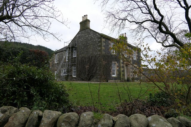
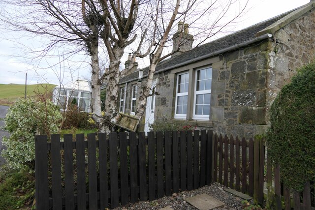
Ayton Hill is a prominent hill located in the county of Fife, Scotland. It stands at an elevation of approximately 315 meters (1,033 feet) above sea level, making it a notable landmark in the region. The hill is situated near the village of Coaltown of Balgonie, just a few miles west of the town of Glenrothes.
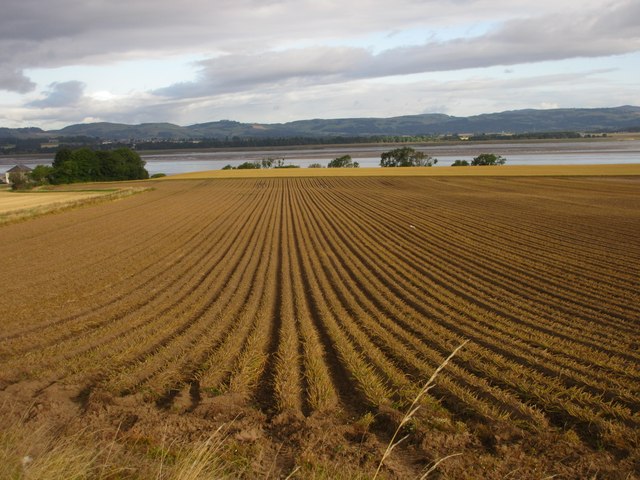
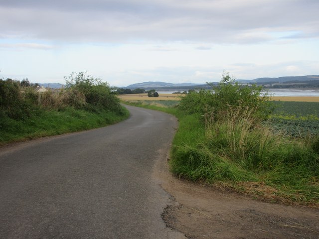
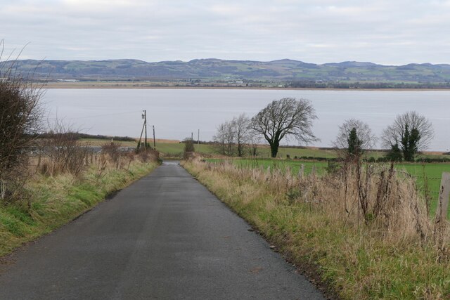
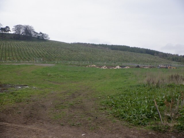
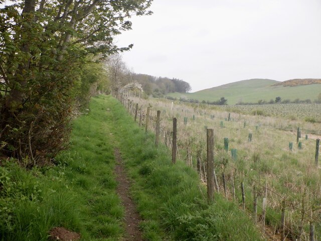
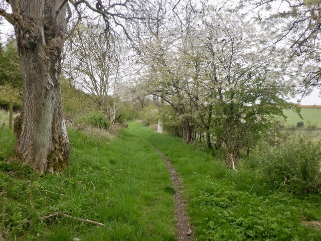
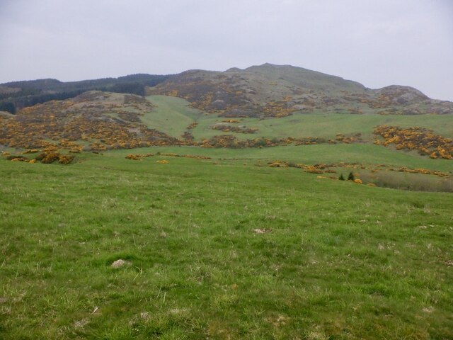
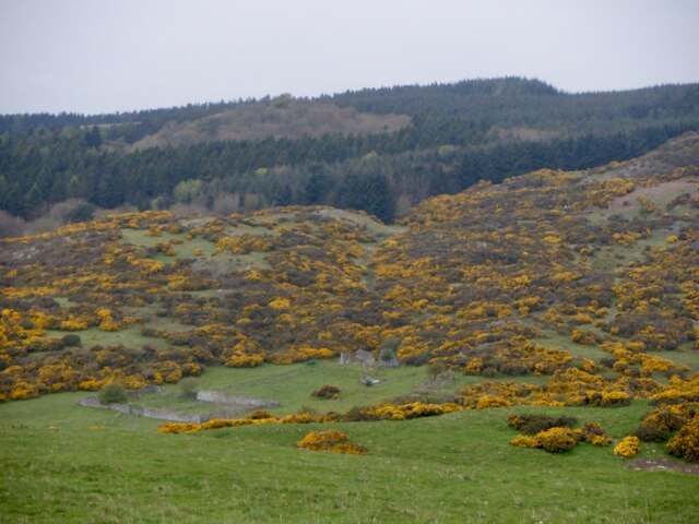
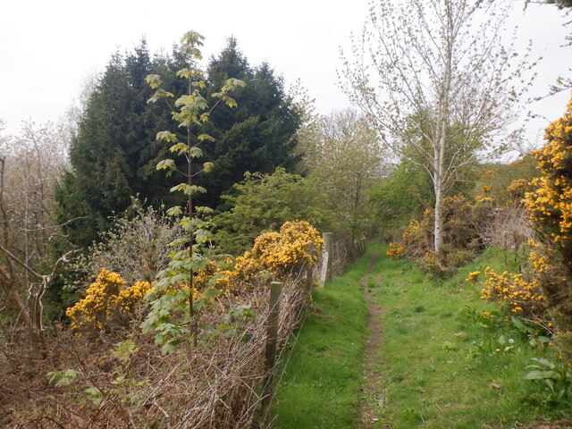
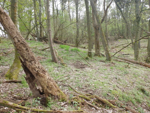
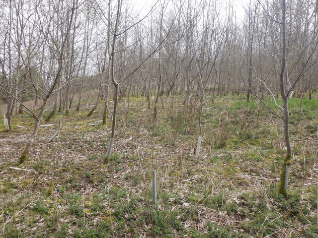
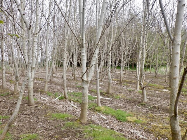
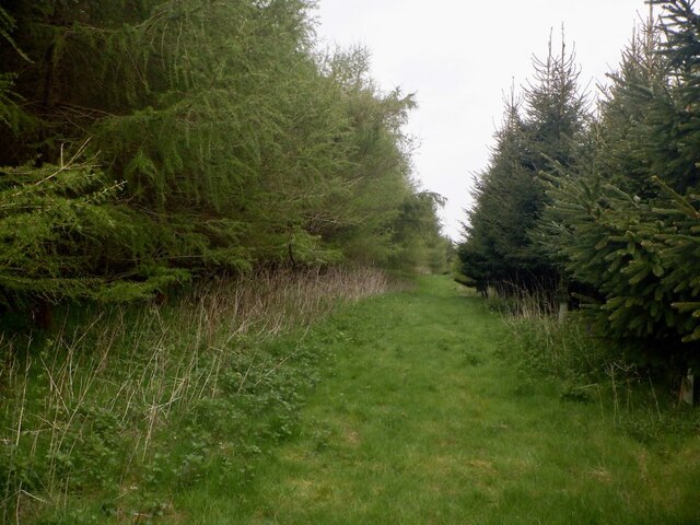
Ayton Hill offers stunning panoramic views of the surrounding countryside, with its peak providing an excellent vantage point to observe the rolling hills, farmland, and nearby settlements. The hill itself is covered in lush green vegetation, primarily consisting of grasses and scattered trees, creating a picturesque and tranquil environment.
The hill is a popular destination for outdoor enthusiasts, hikers, and nature lovers. There are several well-defined paths and trails that lead up to the summit, offering various levels of difficulty to cater to different fitness levels. Along the way, walkers can enjoy the diverse flora and fauna that inhabit the area, including wildflowers, birds, and small mammals.
Ayton Hill is also notable for its historical significance. It is believed to have been settled since prehistoric times, with archaeological evidence suggesting human activity in the area dating back thousands of years. The hill was likely used as a defensive site during ancient times due to its strategic location, offering commanding views of the surrounding landscape.
Overall, Ayton Hill in Fife is a beautiful natural landmark that offers both recreational opportunities and a glimpse into the region's rich history.
If you have any feedback on the listing, please let us know in the comments section below.
Ayton Hill Images
Images are sourced within 2km of 56.365495/-3.133468 or Grid Reference NO3019. Thanks to Geograph Open Source API. All images are credited.

Ayton Hill is located at Grid Ref: NO3019 (Lat: 56.365495, Lng: -3.133468)
Unitary Authority: Fife
Police Authority: Fife
What 3 Words
///mercy.tram.originals. Near Errol, Perth & Kinross
Nearby Locations
Related Wikis

Norman's Law
Norman's Law is a prominent hill at the far eastern end of the Ochil Fault, Scotland. It sits above the south bank of the River Tay, around four miles...

Collairnie Castle
Collairnie Castle is an L-plan castle in Dunbog, Fife, Scotland. The castle was extended in the 16th century, with a wing added of 4 storeys with an attic...

Luthrie
Luthrie is a village in the parish of Creich in Fife, Scotland. A small stream shown on maps as Windygates Burn (but known locally as Luthrie Burn) flows...

Parbroath Castle
Parbroath Castle is a ruined castle which was the former seat of Clan Seton near Parbroath farm, Creich, Fife, Scotland. Only a portion of a vault standing...
Creich, Fife
Creich (Scottish Gaelic: Craoich, pronounced [kʰɾɯːç]; OS: Criech), is a hamlet in Fife, Scotland.The local parish is named after Creich. The ruins of...
Inner Tay Estuary
The Inner Tay Estuary is the inner, western part of the Firth of Tay, from the Tay Railway Bridge in the east to the Queen's Bridge over the River Tay...

Flisk
Flisk (Scottish Gaelic: Fleasg meaning "Stalk" or "Rod") was a parish in Fife, Scotland. According to the 1853 Gazetteer, in part: "Flisk parish is bounded...

Luthrie railway station
Luthrie railway station served the village of Luthrie, Fife, Scotland from 1909 to 1951 on the Newburgh and North Fife Railway. == History == The station...
Nearby Amenities
Located within 500m of 56.365495,-3.133468Have you been to Ayton Hill?
Leave your review of Ayton Hill below (or comments, questions and feedback).