Hermitage Hill

Hill, Mountain in Lancashire South Lakeland

England

Hermitage Hill

Bridleway
Bridleway Credit: Peter McDermott

The requested URL returned error: 429 Too Many Requests

If you have any feedback on the listing, please let us know in the comments section below.

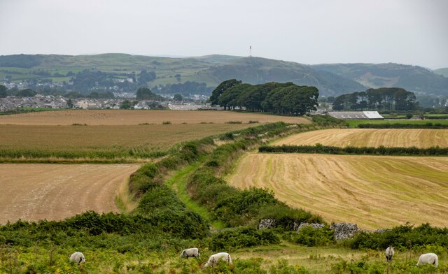
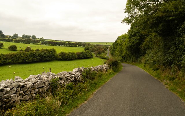
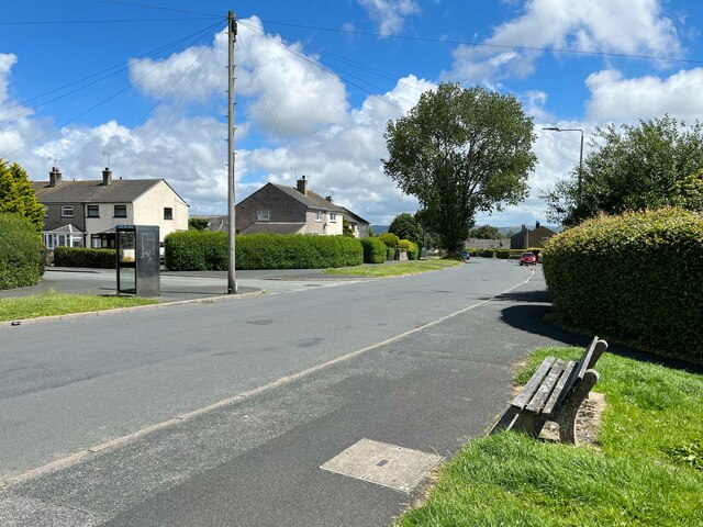
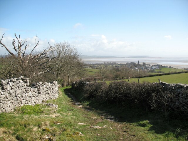
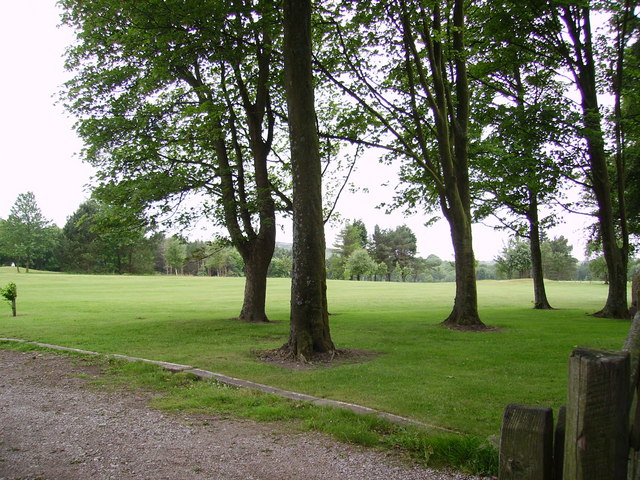
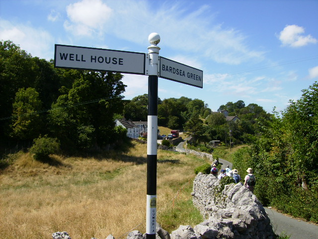
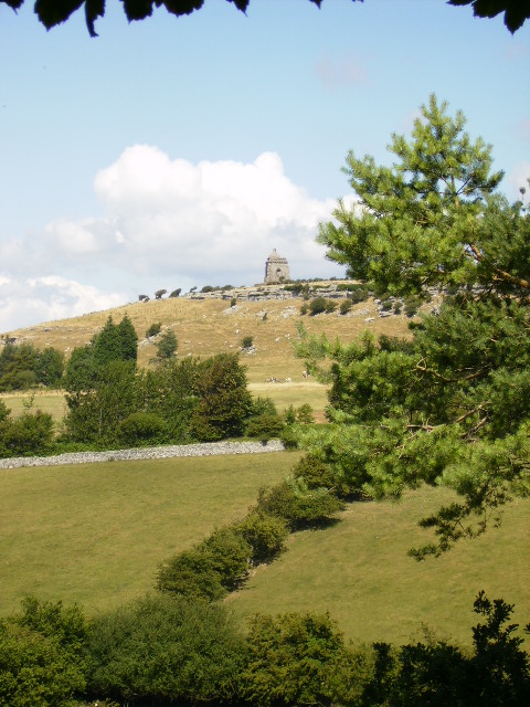
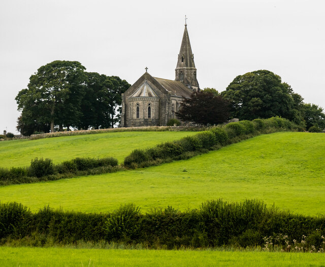
Hermitage Hill Images

Images are sourced within 2km of 54.176199/-3.0725652 or Grid Reference SD3076. Thanks to Geograph Open Source API. All images are credited.

Bridleway
Bridleway
Whit Gill Lane
Whit Gill Lane
Temporary Washing Facility A cycle shed in the yard between the main and ‘S’ blocks of Ulverston Victoria High School has been utilised to create a temporary outdoor washing facility.  This is in response to the COVID-19 virus; students are encouraged to wash their hands more frequently to avoid spreading infection.
The day was hot and classroom windows have been opened wide for additional ventilation.
Temporary Washing Facility
A cycle shed in the yard between the main and ‘S’ blocks of Ulverston Victoria High School has been utilised to create a temporary outdoor washing facility. This is in response to the COVID-19 virus; students are encouraged to wash their hands more frequently to avoid spreading infection. The day was hot and classroom windows have been opened wide for additional ventilation.
Back of the school At the rear of the south wing of the main Ulverston Victoria High School building, a service door gives access to a basement area.
The east end of the ‘S Block’ is in the left background.
Back of the school
At the rear of the south wing of the main Ulverston Victoria High School building, a service door gives access to a basement area. The east end of the ‘S Block’ is in the left background.
School Hall, Ulverston Victoria High School
Oakwood Drive, Croftlands The junction of Oakwood drive and Maple Avenue.
Oakwood Drive, Croftlands
The junction of Oakwood drive and Maple Avenue.
Springfield Road, Ulverston Springfield Road on the approach to Ulverston Victoria High School.
Beyond the limestone rubble wall and the bottom of a telephone distribution pole is a dressed stone wall pillar, marking the Ulverston Victoria High School boundary and almost completely overgrown with ivy.  On the other side of this is a low stone wall which supported cast iron railings, removed during the Second World War as the metal was needed for the war effort.
There is an Ordnance Survey cut benchmark on the wall pillar (photograph <a href="https://www.geograph.org.uk/photo/7284862">SD2877 : Benchmark, Ulverston Victoria High School Wall</a>).
Springfield Road, Ulverston
Springfield Road on the approach to Ulverston Victoria High School. Beyond the limestone rubble wall and the bottom of a telephone distribution pole is a dressed stone wall pillar, marking the Ulverston Victoria High School boundary and almost completely overgrown with ivy. On the other side of this is a low stone wall which supported cast iron railings, removed during the Second World War as the metal was needed for the war effort. There is an Ordnance Survey cut benchmark on the wall pillar (photograph SD2877 : Benchmark, Ulverston Victoria High School Wall).
Benchmark, Ulverston Victoria High School Wall Detail of an Ordnance Survey cut benchmark on the west face of a wall pillar facing onto Springfield Road.  The benchmark marks a height of 34.9505m above Ordnance Datum Newlyn last levelled and verified in 1968 (location photograph <a href="https://www.geograph.org.uk/photo/7284854">SD2877 : Springfield Road, Ulverston</a>).
Benchmark, Ulverston Victoria High School Wall
Detail of an Ordnance Survey cut benchmark on the west face of a wall pillar facing onto Springfield Road. The benchmark marks a height of 34.9505m above Ordnance Datum Newlyn last levelled and verified in 1968 (location photograph SD2877 : Springfield Road, Ulverston).
Lane near Crook's Wood The lane is a public bridleway from Birkrigg to the village of Bardsea in the background.  The spire of Holy Trinity Church is prominent.
Lane near Crook's Wood
The lane is a public bridleway from Birkrigg to the village of Bardsea in the background. The spire of Holy Trinity Church is prominent.
The Lancastrian Croftlands Shabby tribute to Lancashire I suppose as Furness was part of Lancashire not long ago.
The Lancastrian Croftlands
Shabby tribute to Lancashire I suppose as Furness was part of Lancashire not long ago.
Ploughed Field  Urswick Heavy rain falling
Ploughed Field Urswick
Heavy rain falling
Dragley Beck In Ulverston
Dragley Beck
In Ulverston
Plough At the entrance to a caravan park and retail outlet in Ulverston.
Plough
At the entrance to a caravan park and retail outlet in Ulverston.
Retail Outlet  At Ulverston
Retail Outlet
At Ulverston
Ulverston Golf Club In the former Bardsea Park
Ulverston Golf Club
In the former Bardsea Park
Road to Bardsea Green This road turns into a green lane leading up to Birkrigg Common.
Road to Bardsea Green
This road turns into a green lane leading up to Birkrigg Common.
The monument above Bardsea Park
Bardsea The church at Bardsea.
Bardsea
The church at Bardsea.
Show me another place!

Hermitage Hill is located at Grid Ref: SD3076 (Lat: 54.176199, Lng: -3.0725652)

Administrative County: Cumbria

District: South Lakeland

Police Authority: Cumbria

What 3 Words

///inflame.charted.envoy. Near Ulverston, Cumbria

Nearby Locations

Hermitage Hill The Lake

Related Wikis

Conishead Priory

Conishead Priory is a large Gothic Revival building on the Furness peninsula near Ulverston in Cumbria. The priory's name translates literally as "King...
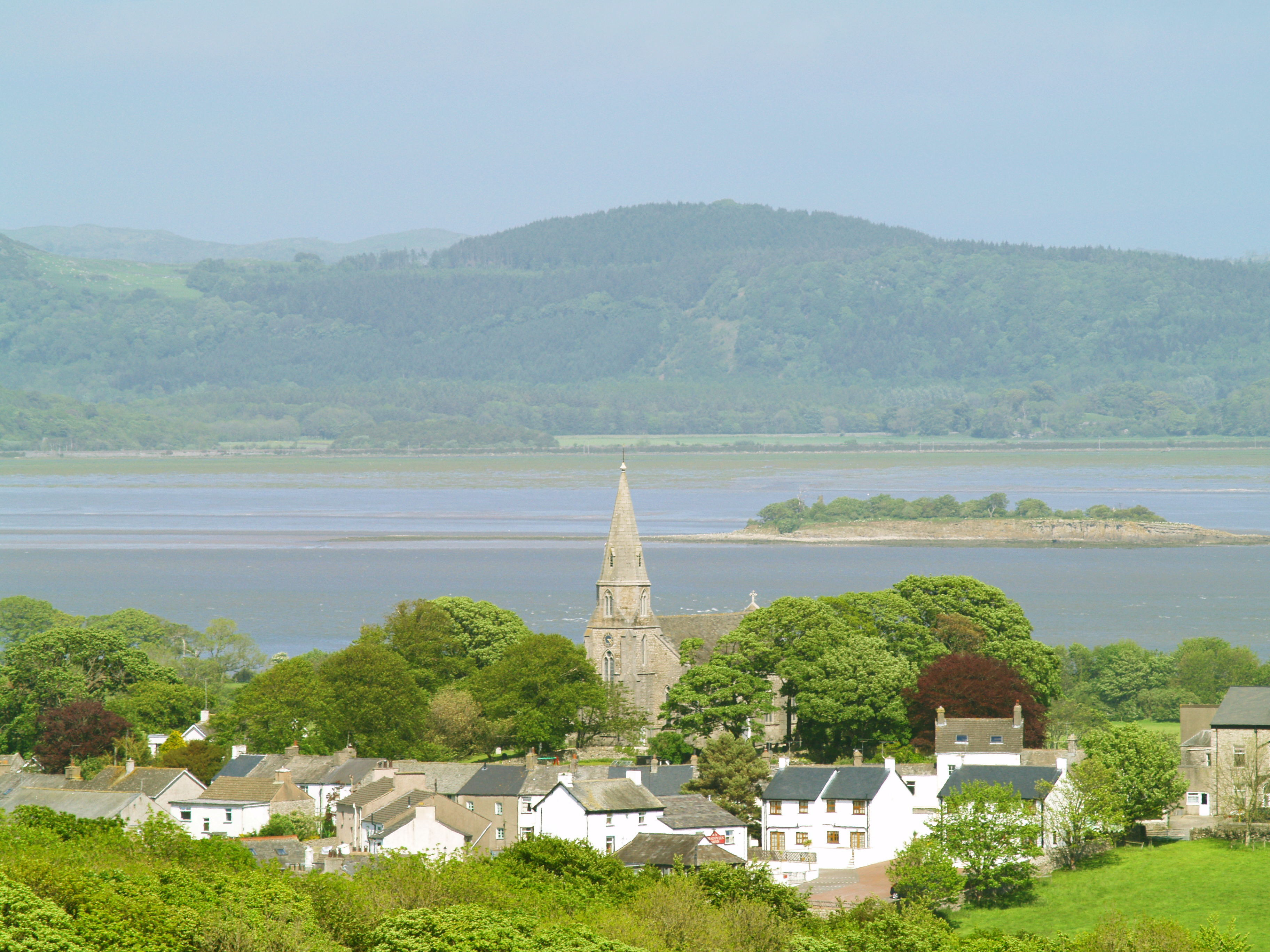
Bardsea

Bardsea is a village in the Low Furness area of Cumbria, England. It is two miles to the south-east of Ulverston on the northern coast of Morecambe Bay...
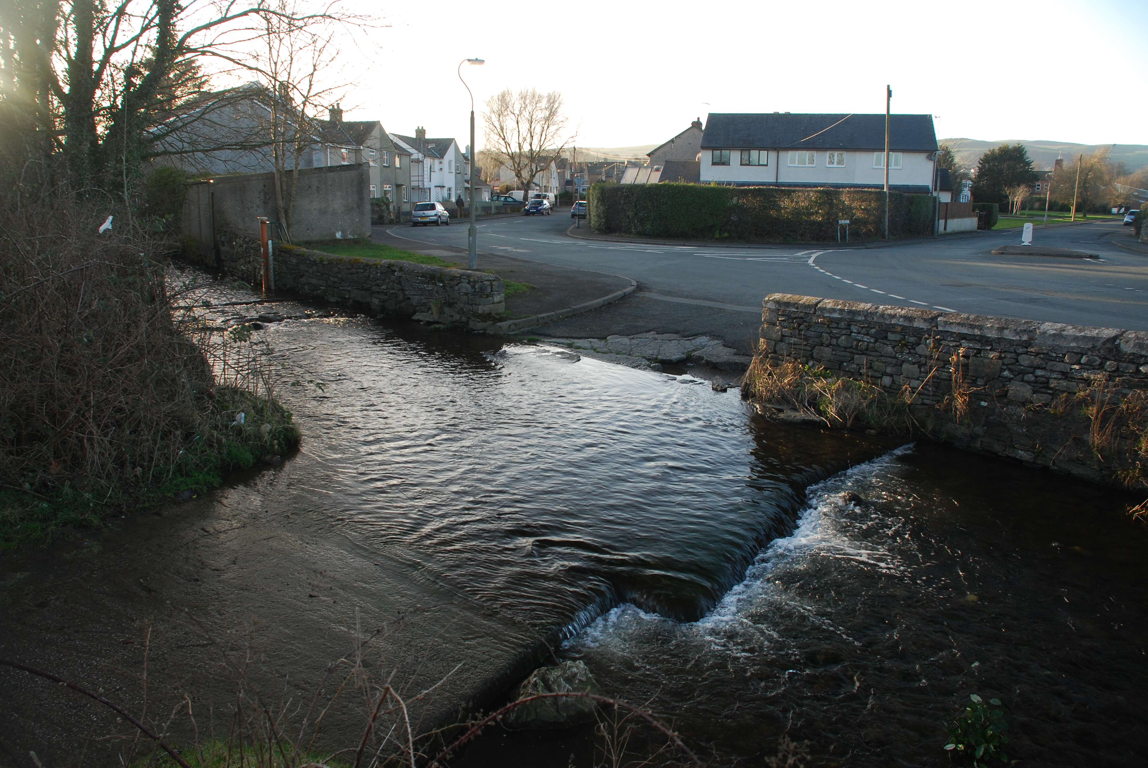
Dragley Beck

Dragley Beck is a hamlet in Cumbria, England. Historically part of Lancashire, it was the birthplace of Sir John Barrow (1764-1848), one of the founders...

Canal Foot

Canal Foot is an industrial village in Cumbria, England, on the Leven estuary. It is located 1.7 miles (2.7 km) by road to the east of the centre of Ulverston...

Nearby Amenities

Located within 500m of 54.176199,-3.0725652
Bus Stop
Conishead Priory (N bound)
Bus: yes
Naptan AtcoCode: 090079684277
Naptan Bearing: N
Naptan BusStopType: CUS
Naptan CommonName: Conishead Priory (N bound)
Naptan Indicator: n/bound
Naptan Landmark: Great Head House
Naptan NaptanCode: cumdtamp
Naptan Street: Priory Road
Naptan Verified: no
Public Transport: platform
Source: naptan_import
Lat/Long: 54.1729791/-3.0722061
Bus Stop
Conishead Priory (S bound)
Bus: yes
Naptan AtcoCode: 090079684278
Naptan Bearing: S
Naptan BusStopType: CUS
Naptan CommonName: Conishead Priory (S bound)
Naptan Indicator: s/bound
Naptan Landmark: Maniushri Institute
Naptan NaptanCode: cumdtamt
Naptan Street: Priory Road
Naptan Verified: no
Public Transport: platform
Source: naptan_import
Lat/Long: 54.1730437/-3.0720211
Bicycle Parking
Access: customers
Bicycle Parking: wall_loops
Capacity: 3
Covered: no
Fee: no
Operator: Conishead Priory
Lat/Long: 54.1734336/-3.0669055
Charging Station
Access: customers
Bicycle: yes
Capacity: 1
Covered: no
Operator: Conishead Priory
Parking Fee: no
Socket Bs1363: 1
Lat/Long: 54.1734189/-3.0669146
Barrier: cattle_grid
Lat/Long: 54.1787545/-3.0779767
Bench
Lat/Long: 54.1790924/-3.0780904
Priory Park
Place: locality
Lat/Long: 54.1755473/-3.0795835
Hermitage Hill
Place: locality
Lat/Long: 54.1766229/-3.0748645
Artwork Type: sculpture
Tourism: artwork
Lat/Long: 54.1766477/-3.0695773
Artwork Type: sculpture
Tourism: artwork
Lat/Long: 54.1765216/-3.0694838
Artwork Type: sculpture
Tourism: artwork
Lat/Long: 54.1764003/-3.0694045
The data included in this document is from www.openstreetmap.org. The data is made available under ODbL.

Have you been to Hermitage Hill?

Leave your review of Hermitage Hill below (or comments, questions and feedback).