Whirly Kips
Hill, Mountain in Fife
Scotland
Whirly Kips
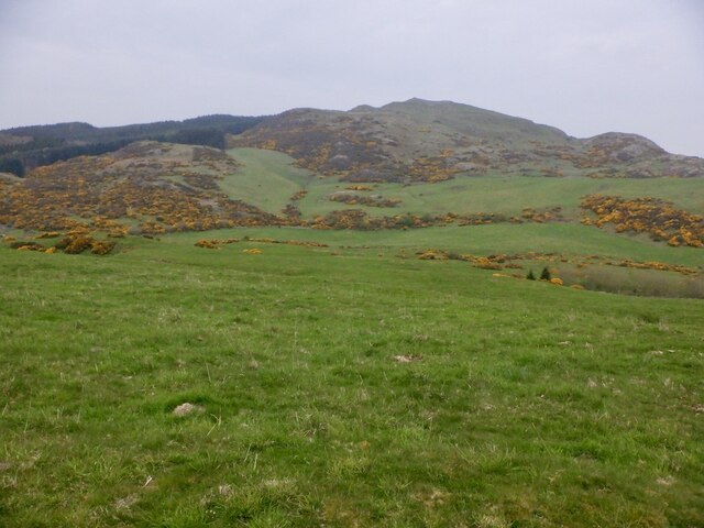
Whirly Kips is a prominent hill located in Fife, Scotland. It is part of the Lomond Hills range, which stretches across the eastern part of the county. Standing at an elevation of 522 meters (1,713 feet), Whirly Kips offers breathtaking panoramic views of the surrounding countryside.
The hill is characterized by its distinct conical shape, with a steep and rugged slope that challenges even experienced hikers. It is composed mainly of igneous rock, which gives it a unique appearance and contributes to its geological significance.
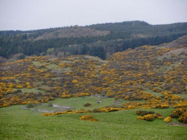
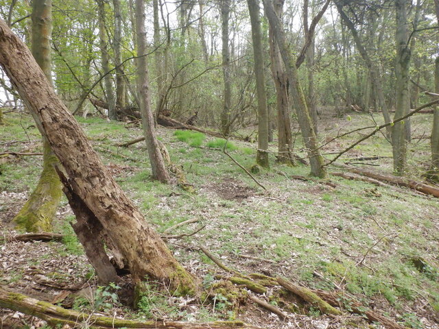
Whirly Kips is a popular destination for outdoor enthusiasts, attracting hikers, nature lovers, and photographers alike. The hill is home to a variety of flora and fauna, including heather, gorse, and a diverse range of bird species. It is also known for its rich archaeological heritage, with remnants of ancient settlements and burial sites scattered across its slopes.
Reaching the summit of Whirly Kips rewards visitors with stunning views across the Fife countryside, including the neighboring Lomond Hills and Loch Leven. On clear days, it is even possible to catch glimpses of the distant Edinburgh skyline.
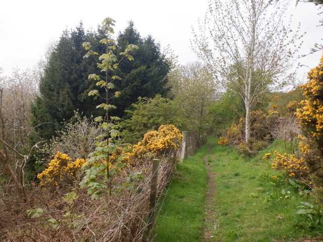
Access to Whirly Kips is relatively straightforward, with several well-marked trails leading to the summit from nearby villages such as Falkland and Glenrothes. However, it is advisable to check weather conditions and wear appropriate clothing and footwear, as the hill can be challenging to navigate in adverse conditions.
All in all, Whirly Kips is a captivating hill in Fife, offering a unique blend of natural beauty, historical significance, and outdoor adventure for visitors to enjoy.
If you have any feedback on the listing, please let us know in the comments section below.
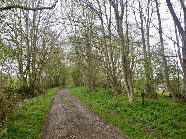
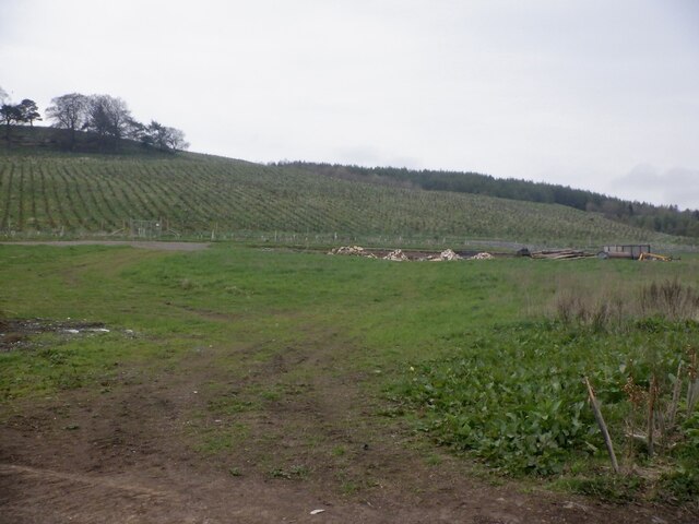
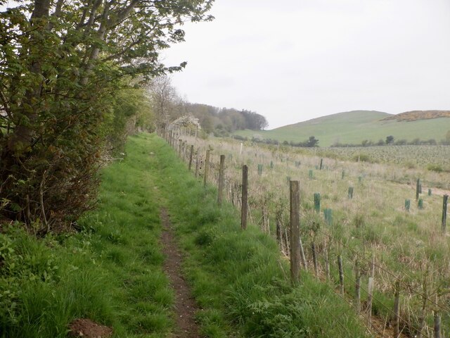
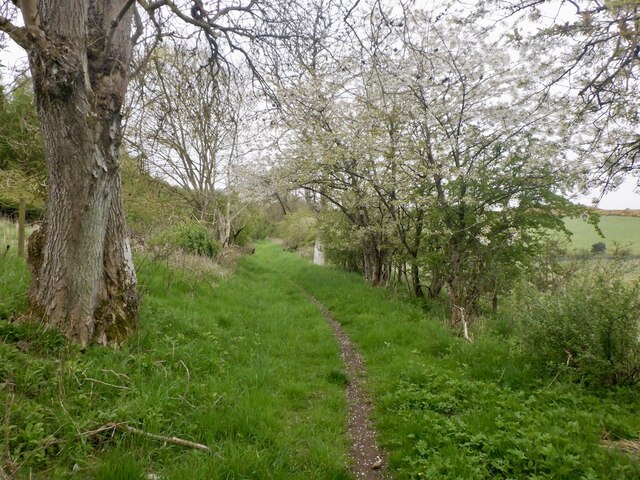
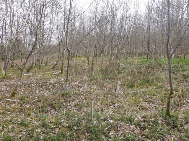
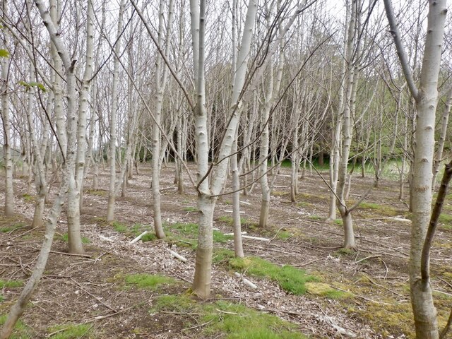
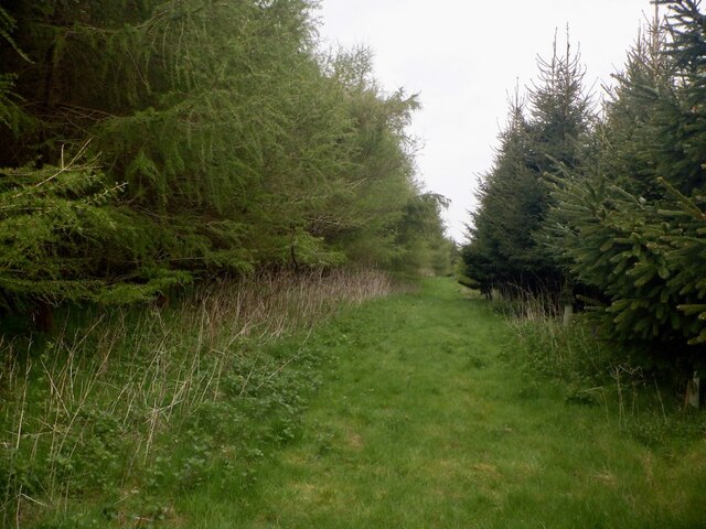
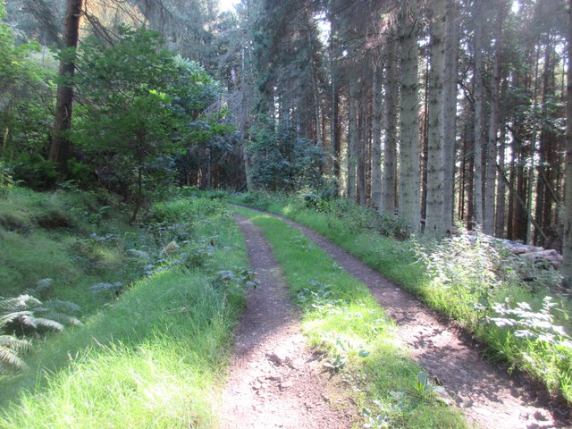
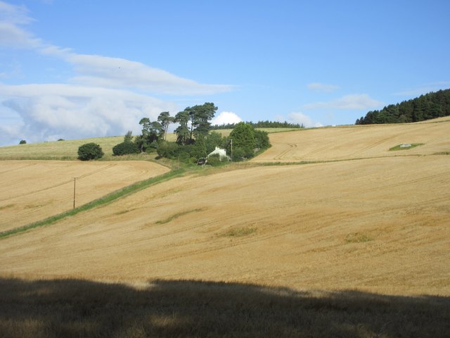
Whirly Kips Images
Images are sourced within 2km of 56.359192/-3.1211421 or Grid Reference NO3019. Thanks to Geograph Open Source API. All images are credited.


Whirly Kips is located at Grid Ref: NO3019 (Lat: 56.359192, Lng: -3.1211421)
Unitary Authority: Fife
Police Authority: Fife
What 3 Words
///spokes.gadget.livid. Near Errol, Perth & Kinross
Nearby Locations
Related Wikis

Norman's Law
Norman's Law is a prominent hill at the far eastern end of the Ochil Fault, Scotland. It sits above the south bank of the River Tay, around four miles...

Collairnie Castle
Collairnie Castle is an L-plan castle in Dunbog, Fife, Scotland. The castle was extended in the 16th century, with a wing added of 4 storeys with an attic...

Parbroath Castle
Parbroath Castle is a ruined castle which was the former seat of Clan Seton near Parbroath farm, Creich, Fife, Scotland. Only a portion of a vault standing...

Luthrie
Luthrie is a village in the parish of Creich in Fife, Scotland. A small stream shown on maps as Windygates Burn (but known locally as Luthrie Burn) flows...
Nearby Amenities
Located within 500m of 56.359192,-3.1211421Have you been to Whirly Kips?
Leave your review of Whirly Kips below (or comments, questions and feedback).