Long Hill
Hill, Mountain in Lancashire South Lakeland
England
Long Hill
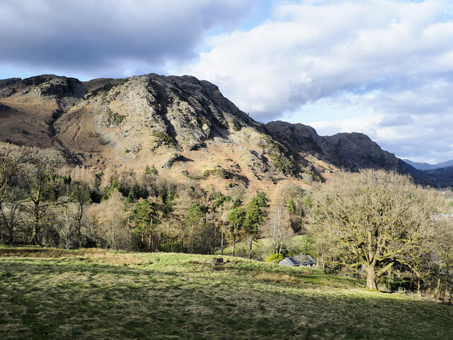
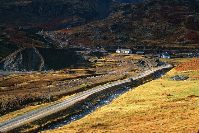
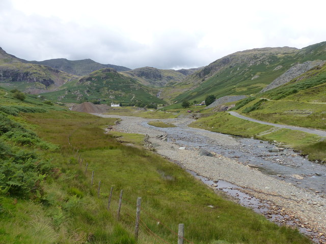
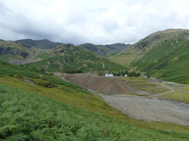
Long Hill is a prominent hill located in the county of Lancashire, England. Rising to an elevation of approximately 1,191 feet (363 meters), it is considered one of the notable peaks in the region. Situated within the West Pennine Moors, specifically in the borough of Blackburn with Darwen, Long Hill offers picturesque views of the surrounding landscape.
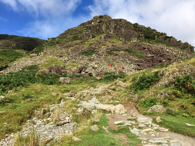
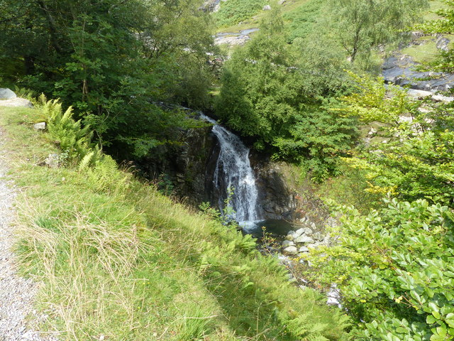
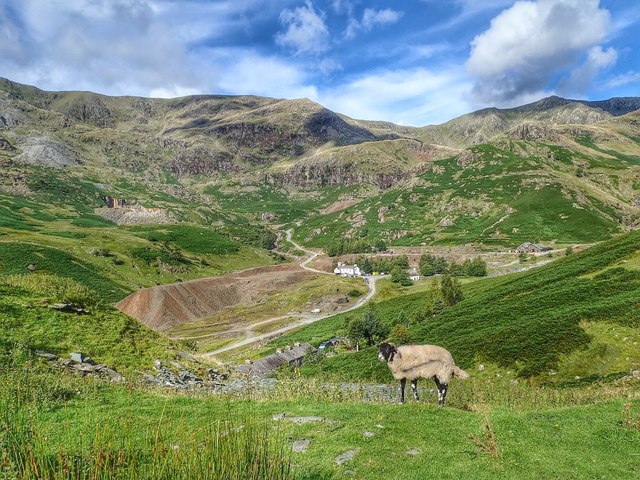
The hill is known for its scenic beauty and is a popular destination for hikers, nature enthusiasts, and those seeking outdoor recreational activities. Its location within the West Pennine Moors provides ample opportunities for walking, cycling, and exploring the diverse flora and fauna that can be found in the area.
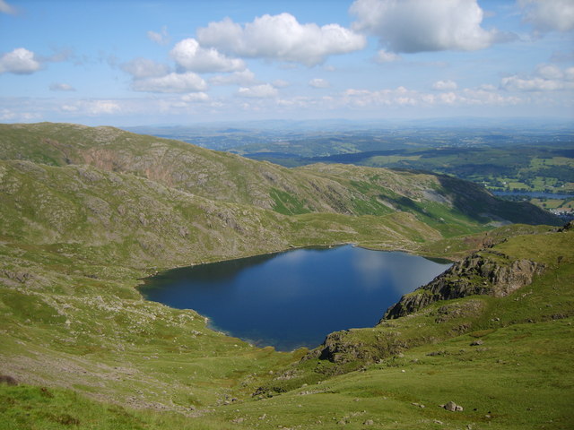
Long Hill is characterized by its rolling terrain and lush greenery, which transforms into a vibrant tapestry of colors during the autumn months. The hill is covered in heather, grasses, and bracken, creating a stunning landscape that attracts visitors year-round. The summit of Long Hill offers panoramic views of the surrounding countryside, including the nearby towns and villages of Lancashire.
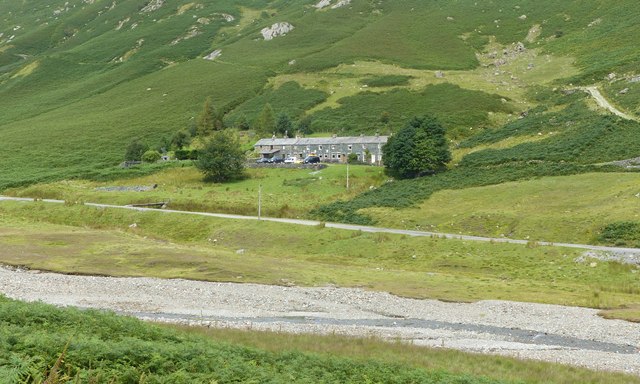
The hill is easily accessible and can be reached via several footpaths and trails, making it a popular destination for both locals and tourists. While there are no settlements directly on Long Hill itself, the nearby villages of Belmont and Chapeltown provide amenities and accommodation for those visiting the area.
Overall, Long Hill in Lancashire is a natural gem that showcases the beauty of the West Pennine Moors. Its stunning views, diverse wildlife, and accessibility make it a must-visit destination for anyone looking to explore the Lancashire countryside.
If you have any feedback on the listing, please let us know in the comments section below.
Long Hill Images
Images are sourced within 2km of 54.384338/-3.0805583 or Grid Reference SD2999. Thanks to Geograph Open Source API. All images are credited.


Long Hill is located at Grid Ref: SD2999 (Lat: 54.384338, Lng: -3.0805583)
Administrative County: Cumbria
District: South Lakeland
Police Authority: Cumbria
What 3 Words
///beard.banks.outlawing. Near Ambleside, Cumbria
Nearby Locations
Related Wikis

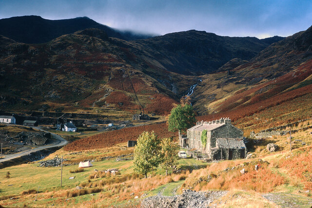
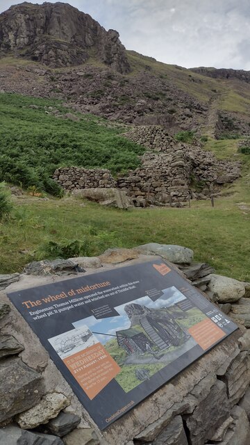
Coniston copper mines
The Coniston copper mines were a copper mining operation in Lancashire, England. It was functional for hundreds of years in Coppermines Valley above Coniston...

Ruskin Museum
The Ruskin Museum is a small local museum in Coniston, Cumbria, northern England. It was established in 1901 by W. G. Collingwood, an artist and antiquarian...

Coniston railway station (England)
Coniston railway station was the northern terminus of the Coniston branch line in the village of Coniston, Lancashire, England (now in Cumbria). ��2�...

Coniston, Cumbria
Coniston is a village and civil parish in the Westmorland and Furness district of Cumbria, England. In the 2001 census the parish had a population of 1...

John Ruskin School
John Ruskin School (JRS) is an 11–16 school on Lake Road in Coniston, Cumbria. The school is part of the Rural Academy, a group of nine small schools in...
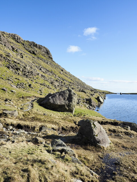
Levers Water
Levers Water is a small lake in the English Lake District. It is located at the head of the Coppermines Valley, above Coniston village. To its south-west...

Holme Fell
Holme Fell or Holm Fell is a fell in the Lake District in Cumbria, England. It is located between Coniston Water and Little Langdale, almost isolated from...

Wetherlam
Wetherlam (763 m) is a mountain in the English Lake District. It is the most northerly of the Coniston Fells, the range of fells to the north-west of Coniston...
Nearby Amenities
Located within 500m of 54.384338,-3.0805583Have you been to Long Hill?
Leave your review of Long Hill below (or comments, questions and feedback).