Brankam Hill
Hill, Mountain in Angus
Scotland
Brankam Hill

Brankam Hill is a prominent natural feature located in the Angus region of Scotland. Rising to an elevation of approximately 352 meters (1,155 feet), it is classified as a hill rather than a true mountain. Despite its modest height, Brankam Hill offers breathtaking panoramic views of the surrounding countryside, making it a popular destination for hikers and nature enthusiasts.
Situated near the town of Forfar, Brankam Hill is characterized by its gently sloping terrain, covered in heather and grasses. The hill is composed primarily of sandstone, which gives it a distinctive reddish-brown hue. It is also home to a variety of wildlife, including birds, rabbits, and occasionally deer.
The summit of Brankam Hill can be reached via a well-maintained footpath that winds its way through the rolling landscape. As visitors ascend, they are treated to stunning vistas of the Angus Glens, the Sidlaw Hills, and the fertile farmland stretching out towards the coast.
At the top of Brankam Hill, there is a small cairn, providing a perfect spot for a well-deserved rest and an opportunity to take in the magnificent views. On clear days, it is even possible to catch a glimpse of the distant Cairngorm Mountains to the north.
Brankam Hill offers a tranquil escape from the hustle and bustle of everyday life, allowing visitors to immerse themselves in the beauty of the Scottish countryside. With its accessible trails and stunning vistas, it is an ideal destination for outdoor enthusiasts and nature lovers alike.
If you have any feedback on the listing, please let us know in the comments section below.
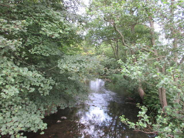
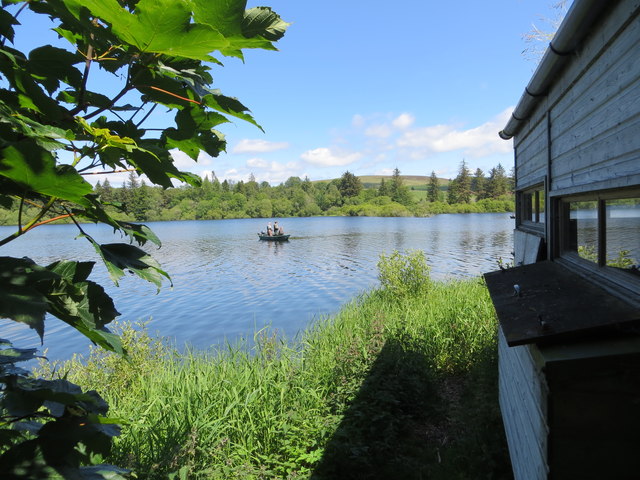
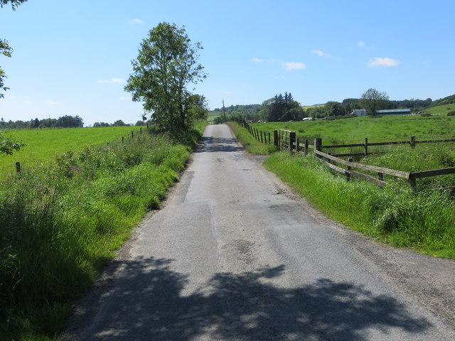
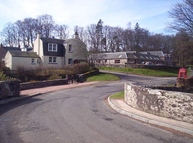
Brankam Hill Images
Images are sourced within 2km of 56.689502/-3.1457179 or Grid Reference NO2955. Thanks to Geograph Open Source API. All images are credited.


Brankam Hill is located at Grid Ref: NO2955 (Lat: 56.689502, Lng: -3.1457179)
Unitary Authority: Angus
Police Authority: Tayside
What 3 Words
///chart.mascots.waltzed. Near Kirriemuir, Angus
Nearby Locations
Related Wikis
Bridgend of Lintrathen
Bridgend of Lintrathen is a village in Angus, Scotland. It is situated on the southern shore of Loch of Lintrathen, six miles west of Kirriemuir. ��2...

Loch of Lintrathen
Loch of Lintrathen is a man-made loch occupying a glacial basin at the southern end of Glen Isla, approximately 13 kilometres (8.1 mi) west of town of...

Balintore Castle
Balintore Castle is a Victorian Category A listed building in Scotland. The castle occupies an elevated site in moorland above Balintore village, a few...
Balintore, Angus
Balintore (Scottish Gaelic: Baile an Todhair) is a village in Angus, Scotland. It lies in Glen Isla, four miles north of the Loch of Lintrathen and seven...

Ascreavie
Ascreavie is a country house in Angus, Scotland. It is located 2 kilometres (1.2 mi) north of Kirkton of Kingoldrum, and 6 kilometres (3.7 mi) north-west...

Kirkton of Kingoldrum
Kirkton of Kingoldrum is a village in Angus, Scotland. It lies in approximately four miles (6 km) west of Kirriemuir on the B951 road. == References ==

Airlie Castle
Airlie Castle is a mansion house in the parish of Airlie, Angus, near the junction of the Isla and Melgund rivers, 9 kilometres west of Kirriemuir, Angus...

Balfour Castle, Angus
Balfour Castle was a baronial mansion at Balfour Mains, near Kirkton of Kingoldrum, Angus, Scotland. The castle which was built in the 16th century is...
Nearby Amenities
Located within 500m of 56.689502,-3.1457179Have you been to Brankam Hill?
Leave your review of Brankam Hill below (or comments, questions and feedback).