Lamb Hill
Hill, Mountain in Dumfriesshire
Scotland
Lamb Hill

The requested URL returned error: 429 Too Many Requests
If you have any feedback on the listing, please let us know in the comments section below.
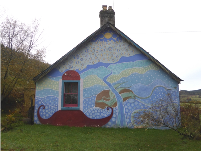
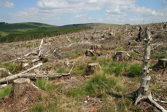
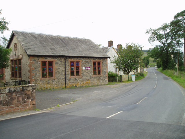
Lamb Hill Images
Images are sourced within 2km of 55.270028/-3.1409149 or Grid Reference NY2797. Thanks to Geograph Open Source API. All images are credited.


Lamb Hill is located at Grid Ref: NY2797 (Lat: 55.270028, Lng: -3.1409149)
Unitary Authority: Dumfries and Galloway
Police Authority: Dumfries and Galloway
What 3 Words
///call.jaunts.commuted. Near Bentpath, Dumfries & Galloway
Nearby Locations
Related Wikis

Loupin Stanes
The Loupin Stanes (grid reference NY25709663) is a stone circle near Eskdalemuir, Dumfries and Galloway. Oval in shape, it consists of twelve stones set...
Eskdalemuir
Eskdalemuir is a civil parish and small village in Dumfries and Galloway, Scotland, with a population of 265. It is around 10 miles (16 km) north-west...

Holm, Inverness
Holm is a small residential area in the south of the city of Inverness, Scotland. The area lies east of the River Ness. The most prominent structure in...

Girdle Stanes
The Girdle Stanes (grid reference NY 25351 96153) is a stone circle near Eskdalemuir, Dumfries and Galloway. The western portion of the circle has been...
Have you been to Lamb Hill?
Leave your review of Lamb Hill below (or comments, questions and feedback).