Hunt Hill

Hill, Mountain in Morayshire

Scotland

Hunt Hill

Brown Muir A track runs up to the summit and its mast through heather.
Brown Muir Credit: Richard Webb

Hunt Hill is a prominent hill located in Morayshire, Scotland. It stands at an elevation of 251 meters (823 feet) above sea level and offers stunning panoramic views of the surrounding countryside. The hill is a popular destination for hikers and nature enthusiasts, with several well-marked trails leading to the summit.

Hunt Hill is known for its diverse flora and fauna, including heather moorland, birch woodlands, and a variety of bird species such as red grouse, golden eagles, and peregrine falcons. The hill is also home to a population of red deer, which can often be spotted grazing on the slopes.

The area surrounding Hunt Hill is rich in history, with several ancient sites nearby, including the remains of a hillfort and a stone circle. Visitors to the hill can enjoy a peaceful and tranquil environment, perfect for picnicking, birdwatching, or simply taking in the breathtaking views.

Overall, Hunt Hill offers a rewarding outdoor experience for those looking to explore the natural beauty of Morayshire and immerse themselves in the rich history and wildlife of the area.

If you have any feedback on the listing, please let us know in the comments section below.
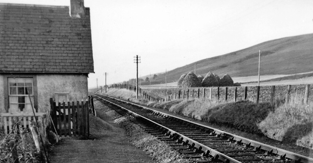
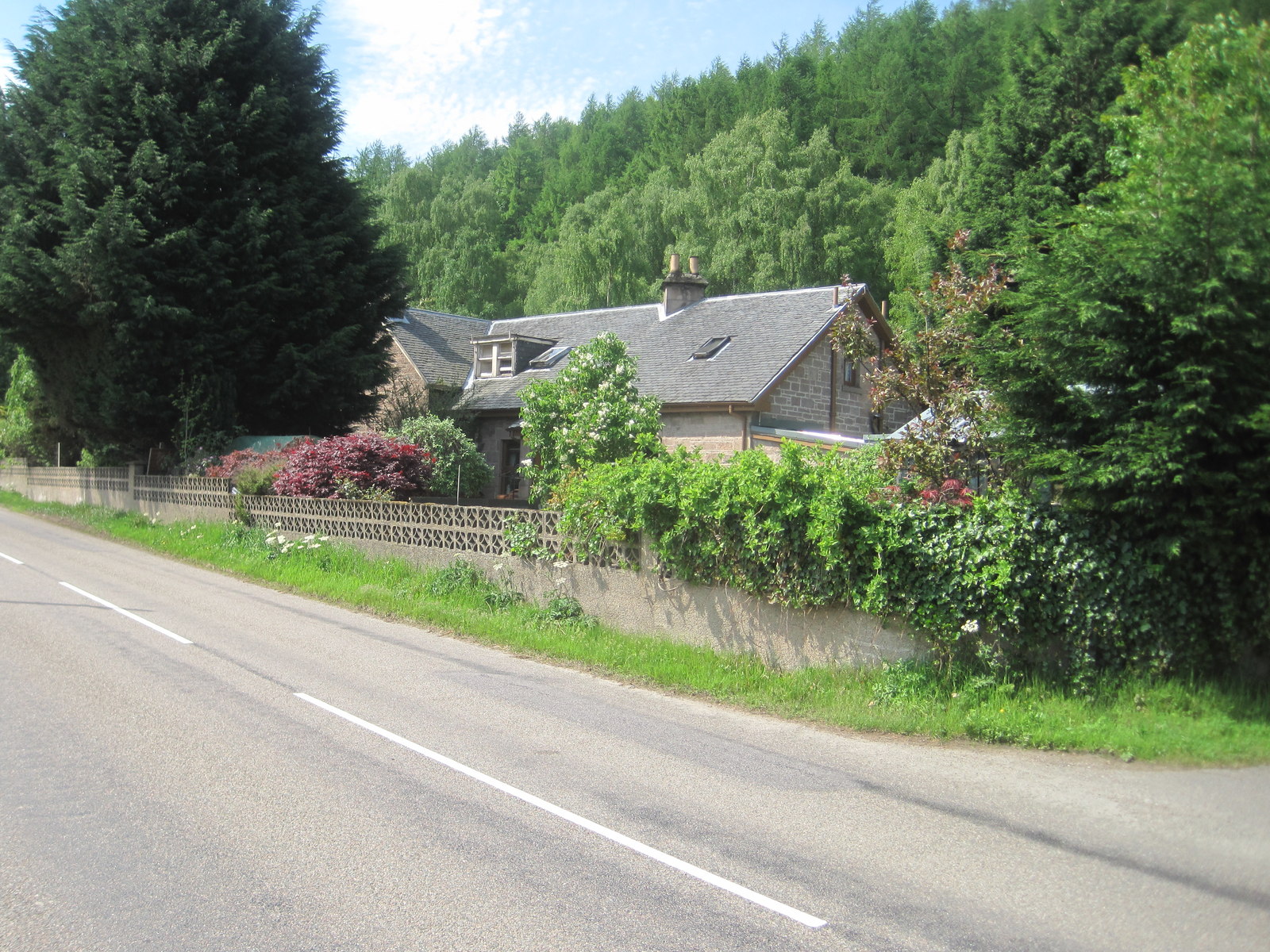
Hunt Hill Images

Images are sourced within 2km of 57.570845/-3.212148 or Grid Reference NJ2754. Thanks to Geograph Open Source API. All images are credited.

Brown Muir A track runs up to the summit and its mast through heather.
Brown Muir
A track runs up to the summit and its mast through heather.
The trig has got its hat on Unusual "Lossiemouth" type triangulation pillar on Brown Muir. Like the pillar on Corriehabbie Hill, it has a cast iron lid.
The OS database has it named "Findlay's Seat"  The Ordnance Survey often named their pillars after neighbouring farms.
The trig has got its hat on
Unusual "Lossiemouth" type triangulation pillar on Brown Muir. Like the pillar on Corriehabbie Hill, it has a cast iron lid. The OS database has it named "Findlay's Seat" The Ordnance Survey often named their pillars after neighbouring farms.
Triangulation point on Brown Muir What a day!; the wind is from the sou'west and gusting to 50 mph. Still the sun is shining and thoughts of a traffic jam on the M25 ease the situation.
Triangulation point on Brown Muir
What a day!; the wind is from the sou'west and gusting to 50 mph. Still the sun is shining and thoughts of a traffic jam on the M25 ease the situation.
View from Findlay's Seat Looking NNW to the coast at Lossiemouth, with the Lighthouse visible slightly to the left of centre. This view will be spoilt by the proposed Brown Muir Wind Farm. I did actually take the photo on New Years Day 2012, when I walked to Findlay's Seat with my wife and sister-in-law.
View from Findlay's Seat
Looking NNW to the coast at Lossiemouth, with the Lighthouse visible slightly to the left of centre. This view will be spoilt by the proposed Brown Muir Wind Farm. I did actually take the photo on New Years Day 2012, when I walked to Findlay's Seat with my wife and sister-in-law.
Whins by the Sauchen Burn At the farm side of the ploughed field is Mains of Teindland, and to its right is a field of pig shelters glinting in the sun.
Whins by the Sauchen Burn
At the farm side of the ploughed field is Mains of Teindland, and to its right is a field of pig shelters glinting in the sun.
Shooting Seat WE couldn't make up our minds whether this is too rickety to use safely. It's for shooting roe deer. The man with the gun sits on his high perch and waits for a deer to appear below him.
Shooting Seat
WE couldn't make up our minds whether this is too rickety to use safely. It's for shooting roe deer. The man with the gun sits on his high perch and waits for a deer to appear below him.
Red Burn? The readily available modern maps don't name the burn, but as it flows close to the ruins of Redburn, it's not surprising that the 19th century maps call it the Red Burn.
Red Burn?
The readily available modern maps don't name the burn, but as it flows close to the ruins of Redburn, it's not surprising that the 19th century maps call it the Red Burn.
Bridge over the Red Burn The bridge looks as if it's seen better days, but comparing it with <a href="https://www.geograph.org.uk/photo/373998">NJ2755 : Bridge over Red Burn</a> shows that it hasn't deteriorated too much in the last 15 years.
Bridge over the Red Burn
The bridge looks as if it's seen better days, but comparing it with NJ2755 : Bridge over Red Burn shows that it hasn't deteriorated too much in the last 15 years.
Red Burn Looking downstream from the arched bridge.
Red Burn
Looking downstream from the arched bridge.
Redburn The 1:25,000 map shows four buildings here, but only the bases of the walls are left, and even those are smothered in vegetation. This Redburn is in the parish of St Andrews-Lhanbryd.
Redburn
The 1:25,000 map shows four buildings here, but only the bases of the walls are left, and even those are smothered in vegetation. This Redburn is in the parish of St Andrews-Lhanbryd.
Redburn The 1:25,000 map shows four buildings here, but only the bases of the walls are left, and even those are smothered in vegetation. You can just about make out the rectangular shape of a building here. This Redburn is in the parish of St Andrews-Lhanbryd.
Redburn
The 1:25,000 map shows four buildings here, but only the bases of the walls are left, and even those are smothered in vegetation. You can just about make out the rectangular shape of a building here. This Redburn is in the parish of St Andrews-Lhanbryd.
Redburn The 1:25,000 map shows four buildings here, but only the bases of the walls are left, and even those are smothered in vegetation. This Redburn is in the parish of St Andrews-Lhanbryd.
Redburn
The 1:25,000 map shows four buildings here, but only the bases of the walls are left, and even those are smothered in vegetation. This Redburn is in the parish of St Andrews-Lhanbryd.
Brown Muir Deep and quite spongy heather with the odd tree.
Brown Muir
Deep and quite spongy heather with the odd tree.
Findlays Seat Trig Pillar On top of Brown Muir this trig point is recorded by O.S as Findlays Seat.
Findlays Seat Trig Pillar
On top of Brown Muir this trig point is recorded by O.S as Findlays Seat.
Brown Muir Looking towards the top of this hill that makes for a fine viewpoint.
Brown Muir
Looking towards the top of this hill that makes for a fine viewpoint.
Track, Brown Muir The track to the mast made for easy walking. Some of the broom alongside was rattling in the breeze.
Track, Brown Muir
The track to the mast made for easy walking. Some of the broom alongside was rattling in the breeze.
Trig point on Brown Muir
Thyme-leaved Speedwell (Veronica serpyllifolia) One of many species of Speedwell, easily overlooked as it is fairly inconspicuous. See <a href="https://www.geograph.org.uk/photo/7510106">NJ2754 : Thyme-leaved Speedwell (Veronica serpyllifolia)</a> for details of the flowers.
Thyme-leaved Speedwell (Veronica serpyllifolia)
One of many species of Speedwell, easily overlooked as it is fairly inconspicuous. See NJ2754 : Thyme-leaved Speedwell (Veronica serpyllifolia) for details of the flowers.
Show me another place!

Hunt Hill is located at Grid Ref: NJ2754 (Lat: 57.570845, Lng: -3.212148)

Unitary Authority: Moray

Police Authority: North East

What 3 Words

///estimates.lands.blunt. Near Rothes, Moray

Nearby Locations

Hunt Hill

Related Wikis

Birchfield Halt railway station

Birchfield Platform railway station, Birchfield Halt railway station or Birchfield Siding railway station served the rural area near Glen of Rothes House...

Coleburn railway station

Coleburn railway station served the area of Coleburn, Moray, Scotland from 1863 to 1926 on the Morayshire Railway. == History == The station opened on...

Sourden railway station

Sourden railway station or Sourdon railway station later Sourden Siding served the rural area near Aikenway Castle and the Wood of Sourden, Moray, Scotland...

Orton railway station

Orton railway station served the estate of Orton, Moray, Scotland from 1858 to 1985 on the Inverness and London Junction Railway. == History == The station...

Have you been to Hunt Hill?

Leave your review of Hunt Hill below (or comments, questions and feedback).