Bâl Mawr
Hill, Mountain in Monmouthshire
Wales
Bâl Mawr
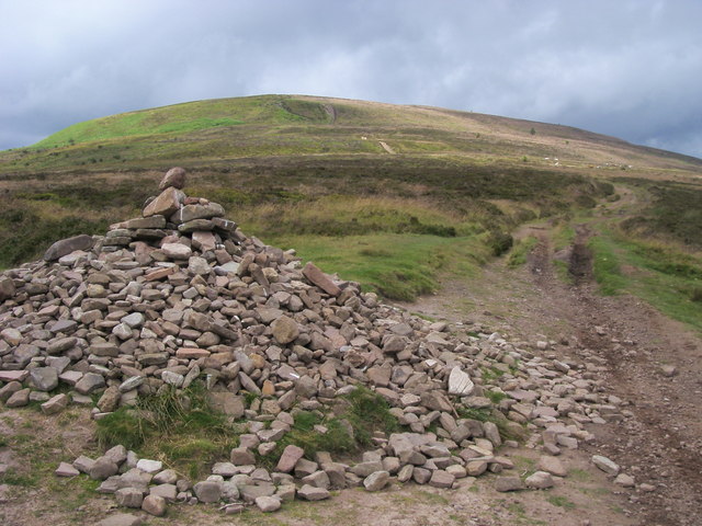
Bâl Mawr is a prominent hill located in Monmouthshire, Wales. With an elevation of 561 meters (1,841 feet), it is considered one of the highest peaks in the region. The hill is part of the Black Mountains range, which stretches along the border between England and Wales.
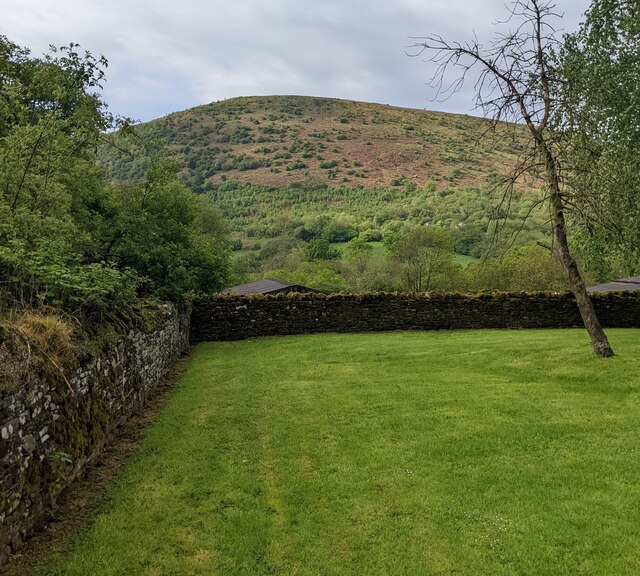
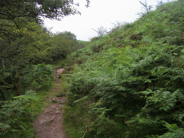
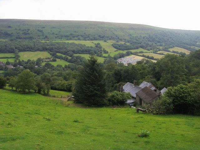
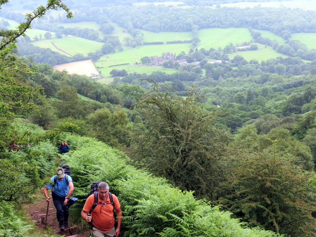
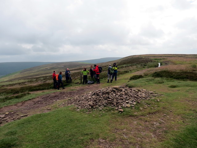
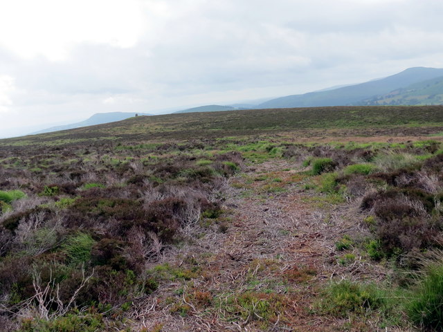
Bâl Mawr offers breathtaking panoramic views of the surrounding countryside, including the Wye Valley and the Brecon Beacons National Park. Its strategic position provides visitors with a stunning vantage point to admire the natural beauty of the area. The hill is popular among hikers and nature enthusiasts, who venture along its well-marked trails to explore its rugged terrain.
The name "Bâl Mawr" is Welsh, translating to "Great Hill" in English. This name aptly describes the imposing presence and grandeur of the hill. It is also worth noting that Bâl Mawr is sometimes referred to as "Black Hill" due to its location within the Black Mountains range.
The hill is rich in biodiversity, offering a habitat to various species of flora and fauna. It is home to several rare plant species, including heather, bilberry, and purple saxifrage. Wildlife such as red kites, buzzards, and wild ponies can also be spotted in the vicinity.
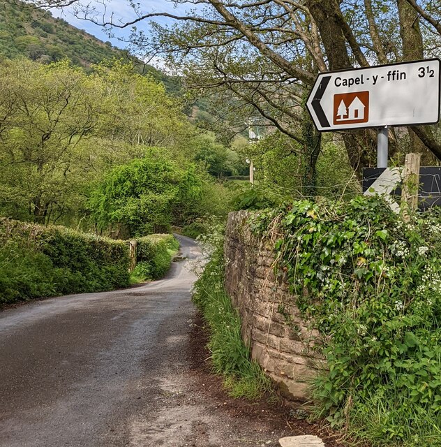
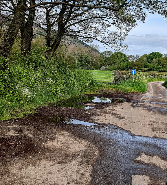
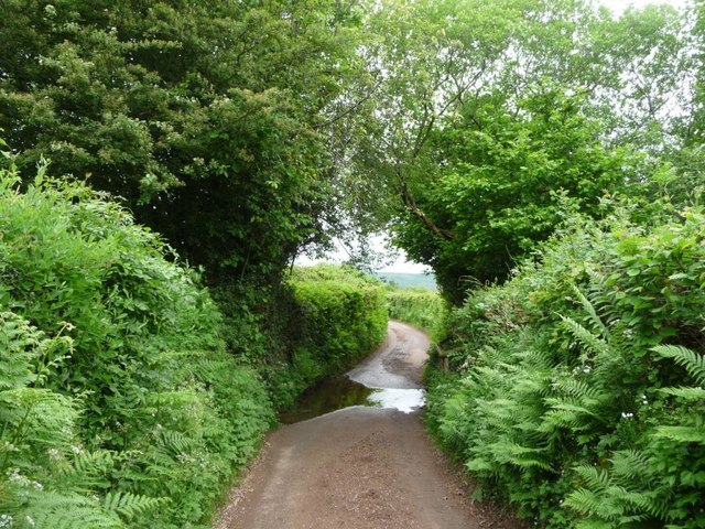
Bâl Mawr is easily accessible from nearby towns and villages, with several footpaths leading to its summit. The hill provides a wonderful opportunity for outdoor activities, such as hiking, birdwatching, and photography, making it a popular destination for both locals and tourists alike.
If you have any feedback on the listing, please let us know in the comments section below.
Bâl Mawr Images
Images are sourced within 2km of 51.937467/-3.0667456 or Grid Reference SO2627. Thanks to Geograph Open Source API. All images are credited.


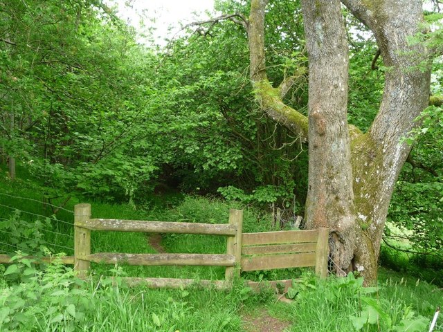
![Woodland along Afon Honddu Nant Honddu [Vale of Ewyas], just north of Llanthony.](https://s1.geograph.org.uk/geophotos/05/41/41/5414109_8826bb79.jpg)
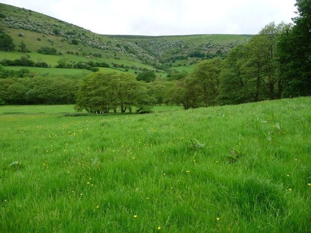
![Hay meadow in Nant Honddu [Vale of Ewyas] On the east bank of Afon Honddu, alongside Broadley Lane.](https://s0.geograph.org.uk/geophotos/05/41/41/5414112_6f127d88.jpg)
Bâl Mawr is located at Grid Ref: SO2627 (Lat: 51.937467, Lng: -3.0667456)
Unitary Authority: Monmouthshire
Police Authority: Gwent
What 3 Words
///glass.strange.blatantly. Near Llanveynoe, Herefordshire
Nearby Locations
Related Wikis

Cwm Bwchel Farmhouse, Llanthony
Cwm Bwchel Farmhouse, Llanthony, Monmouthshire is a farmhouse dating from the late-Medieval period. It carries a date stone of 1694, which probably refers...

Court Farm Barn, Llanthony Priory
Court Farm Barn, Llanthony Priory, Monmouthshire, is a barn of late medieval origins that forms part of a group of historic buildings in the priory complex...
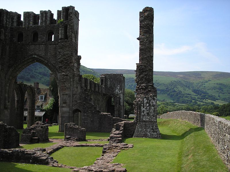
Llanthony Priory
Llanthony Priory (Welsh: Priordy Llanddewi Nant Hodni) is a partly ruined former Augustinian priory in the secluded Vale of Ewyas, a steep-sided once...

Court Farmhouse, Llanthony
Court Farmhouse, Llanthony, Monmouthshire is a farmhouse of late medieval origins. It may have originally been lodgings for the Prior of Llanthony. Following...
Nearby Amenities
Located within 500m of 51.937467,-3.0667456Have you been to Bâl Mawr?
Leave your review of Bâl Mawr below (or comments, questions and feedback).