Milldewan Hill
Hill, Mountain in Angus
Scotland
Milldewan Hill

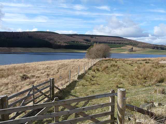
Milldewan Hill is a prominent hill located in the county of Angus, Scotland. Standing at an elevation of approximately 420 meters (1,377 feet), it is known for its picturesque beauty and stunning panoramic views. Situated near the village of Menmuir, Milldewan Hill is a popular destination for hikers, nature lovers, and outdoor enthusiasts.
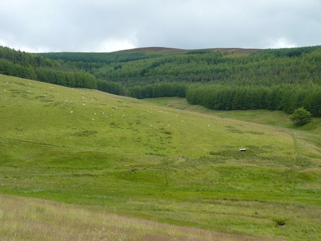
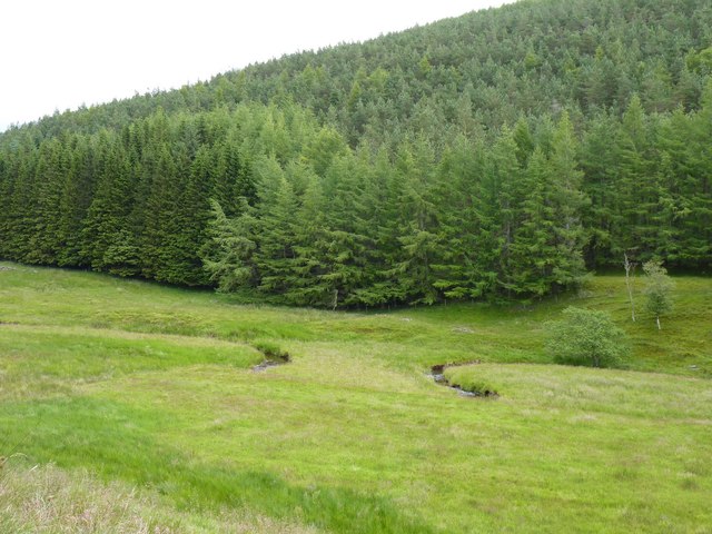
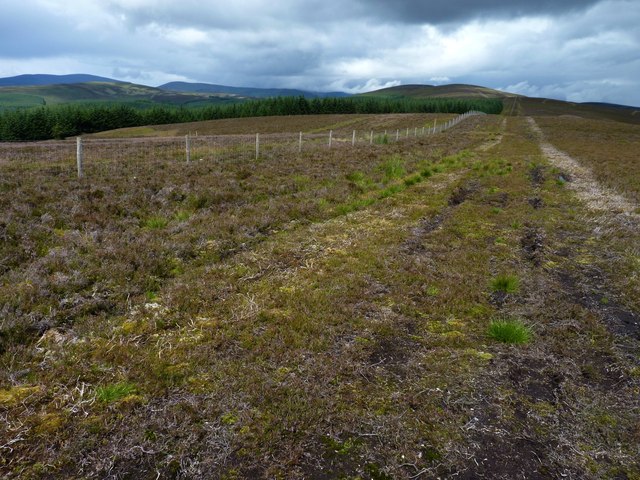
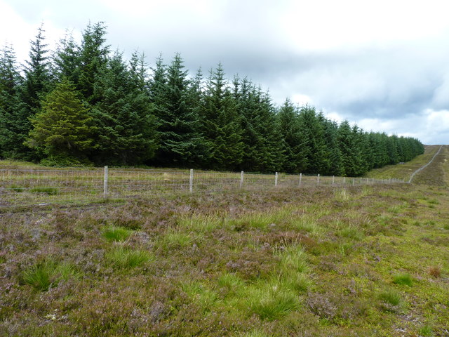
The hill is characterized by its gently sloping terrain, covered in a variety of vegetation such as heather, grasses, and scattered trees. It offers a peaceful and tranquil environment, making it an ideal spot for relaxation and contemplation. The surrounding countryside is dotted with farms and fields, adding to the charm and rural atmosphere of the area.
At the summit of Milldewan Hill, visitors are rewarded with breathtaking views of the Angus Glens, the rolling hills of the Mearns, and even glimpses of the distant North Sea. On a clear day, it is possible to see as far as the Grampian Mountains to the west. This makes it a popular spot for photographers and those seeking to capture the beauty of the Scottish landscape.
Access to Milldewan Hill is relatively easy, with several footpaths leading to the top. The climb is moderate in difficulty, making it suitable for people of all ages and fitness levels. Whether it is for a leisurely walk, a family outing, or a more challenging hike, Milldewan Hill offers a rewarding experience for those seeking to connect with nature and enjoy the stunning scenery of Angus.
If you have any feedback on the listing, please let us know in the comments section below.
Milldewan Hill Images
Images are sourced within 2km of 56.745718/-3.199098 or Grid Reference NO2662. Thanks to Geograph Open Source API. All images are credited.


Milldewan Hill is located at Grid Ref: NO2662 (Lat: 56.745718, Lng: -3.199098)
Unitary Authority: Angus
Police Authority: Tayside
What 3 Words
///linguists.goad.stage. Near Alyth, Perth & Kinross
Nearby Locations
Related Wikis

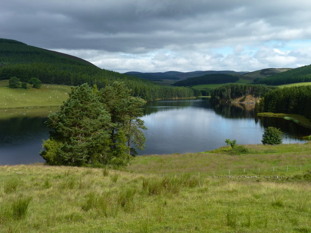
Backwater Reservoir
Backwater Reservoir is a reservoir in north west Angus, Scotland. The reservoir's sole purpose is to provide drinking water, and as such, it supplies Angus...

Balintore, Angus
Balintore (Scottish Gaelic: Baile an Todhair) is a village in Angus, Scotland. It lies in Glen Isla, four miles north of the Loch of Lintrathen and seven...
Balintore Castle
Balintore Castle is a Victorian Category A listed building in Scotland. The castle occupies an elevated site in moorland above Balintore village, a few...

Knockshannoch Lodge
Knockshannoch Lodge is a Category B listed building in the Scottish village of Glenisla, Angus, built around 1888. It is a small, single-storey cottage...

Cat Law
Cat Law (671 m) is a hill in the southern Mounth of Scotland, north of Kirriemuir in Angus. A rounded peak, it lies above Strathmore in the south and offers...
Kirkton of Glenisla
Kirkton of Glenisla consists of a church and graveyard, a hotel, hall and several homes forming the largest concentration of habitation in Glenisla, Angus...

Brewlands Bridge
Brewlands Bridge is a hamlet in Glen Isla, Angus, Scotland. It is lies situated on the River Isla, eleven miles north-west of Kirriemuir and ten miles...

Loch of Lintrathen
Loch of Lintrathen is a man-made loch occupying a glacial basin at the southern end of Glen Isla, approximately 13 kilometres (8.1 mi) west of town of...
Nearby Amenities
Located within 500m of 56.745718,-3.199098Have you been to Milldewan Hill?
Leave your review of Milldewan Hill below (or comments, questions and feedback).