Hulme Walfield

Settlement in Cheshire

England

Hulme Walfield

Approaching shower - Midway House Farm, Congleton
Approaching shower - Midway House Farm, Congleton Credit: Colin Park

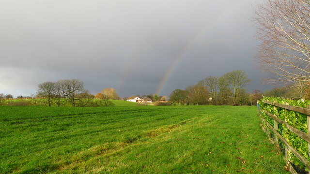
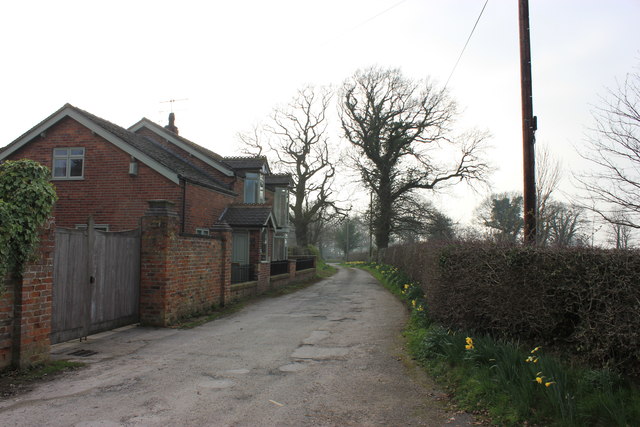
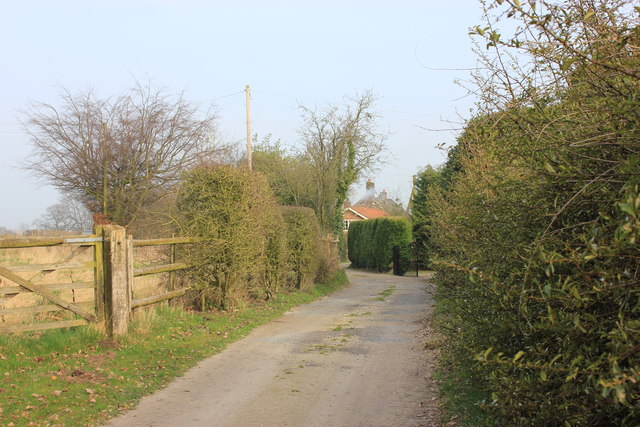
Hulme Walfield is a small village located in the county of Cheshire, England. Situated approximately four miles east of Congleton, the village is surrounded by picturesque countryside and offers a tranquil setting for its residents.

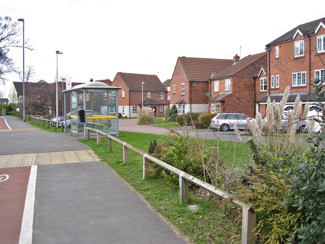
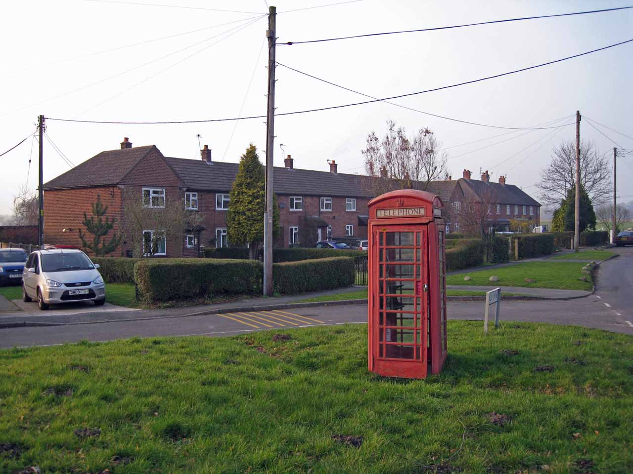
With a population of around 1,000 people, Hulme Walfield is known for its close-knit community and friendly atmosphere. The village is primarily residential, consisting of a mix of traditional stone cottages and modern houses. The architecture reflects the village's history, with some buildings dating back several centuries.

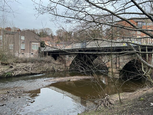
Hulme Walfield benefits from its proximity to the larger town of Congleton, which provides a range of amenities including shops, schools, and healthcare facilities. The village itself, however, offers some local amenities such as a village hall and a church. There are also several walking and cycling routes in the surrounding countryside, providing opportunities for outdoor activities and exploration.

The village is well-connected to other parts of Cheshire and beyond. The nearby A34 road links Hulme Walfield to major towns and cities, while the nearby railway station in Congleton offers regular services to Manchester, Stoke-on-Trent, and beyond.

Overall, Hulme Walfield is a charming village that offers a peaceful and idyllic setting for its residents. With its strong sense of community and convenient access to nearby amenities, it provides a desirable place to live for those seeking a rural lifestyle in Cheshire.

If you have any feedback on the listing, please let us know in the comments section below.

Hulme Walfield Images

Images are sourced within 2km of 53.182288/-2.22809 or Grid Reference SJ8465. Thanks to Geograph Open Source API. All images are credited.

Approaching shower - Midway House Farm, Congleton
Tesco Express Tesco Express in Congleton.
Tesco Express
Tesco Express in Congleton.
Bridge over the River Dane The A54 runs 64 miles across Cheshire from Buxton to Chester.
<span class="nowrap"><a title="http://www.sabre-roads.org.uk/wiki/index.php?title=A54" rel="nofollow ugc noopener" href="http://www.sabre-roads.org.uk/wiki/index.php?title=A54">Link</a><img style="margin-left:2px;" alt="External link" title="External link - shift click to open in new window" src="https://s1.geograph.org.uk/img/external.png" width="10" height="10"/></span>
Bridge over the River Dane
The A54 runs 64 miles across Cheshire from Buxton to Chester. LinkExternal link
Giantswood Lane/Wornish Nook junction No commonplace names these!
Giantswood Lane/Wornish Nook junction
No commonplace names these!
Chapel House, Wornish Nook, Somerford Booths From the end of the public road looking towards Giantwood Lane.
Chapel House, Wornish Nook, Somerford Booths
From the end of the public road looking towards Giantwood Lane.
There's the footpath by Wornish Hall Farm's gate
Footpath by Wornish Hall Farm I suspect a footpath diversion here some years ago when the farm was 'gentrified'. A squeeze for people passing and a possibility of hooking into the hawthorn hedges. I wonder who keeps them trimmed?
Footpath by Wornish Hall Farm
I suspect a footpath diversion here some years ago when the farm was 'gentrified'. A squeeze for people passing and a possibility of hooking into the hawthorn hedges. I wonder who keeps them trimmed?
No footpath here The private drive continuation of Wornish Nook lane.
No footpath here
The private drive continuation of Wornish Nook lane.
Approaching Wornish Nook Beyond the stone gatepost, stile and yellow waymark the path narrows between hedges (<a title="https://www.geograph.org.uk/photo/2847894)" href="https://www.geograph.org.uk/photo/2847894)">Link</a> as it skirts the grounds of Wornish Nook Farm.
Approaching Wornish Nook
Beyond the stone gatepost, stile and yellow waymark the path narrows between hedges (Link as it skirts the grounds of Wornish Nook Farm.
To Grove House Farm from Wornish Nook
The Unicorn public house Located just off Holmes Chapel Road, and backing onto the West Heath shopping centre.
The Unicorn public house
Located just off Holmes Chapel Road, and backing onto the West Heath shopping centre.
West Heath shopping centre This is the back entrance to the shopping complex, off Holmes Chapel Road.
West Heath shopping centre
This is the back entrance to the shopping complex, off Holmes Chapel Road.
Bus shelter and housing, West Heath The photographer is standing on a footpath alongside Holmes Chapel Road. The housing is in Thomson Gardens.
Bus shelter and housing, West Heath
The photographer is standing on a footpath alongside Holmes Chapel Road. The housing is in Thomson Gardens.
Former mill building, West Heath Once a silk ribbon mill, but derelict for many years, this building in Holmes Chapel Road has been the home of Bryn Hall, a bespoke furniture retailer, since the completion of a substantial restoration project in 2005. Bryn Hall have now closed their showroom, and as the sign shows, the building is currently available to let.
Update: Jan 2013. I am grateful to a Geograph site visitor who has informed me that Bryn Hall Furniture still occupies part of the building. There are now 3 shop spaces within the former mill. The lower floor has areas rented to different retailers and crafts. The middle floor is Bryn Hall furniture, and the top floor is home to Samuel Charles Interiors - soft furnishings and designer wallpaper.
Former mill building, West Heath
Once a silk ribbon mill, but derelict for many years, this building in Holmes Chapel Road has been the home of Bryn Hall, a bespoke furniture retailer, since the completion of a substantial restoration project in 2005. Bryn Hall have now closed their showroom, and as the sign shows, the building is currently available to let. Update: Jan 2013. I am grateful to a Geograph site visitor who has informed me that Bryn Hall Furniture still occupies part of the building. There are now 3 shop spaces within the former mill. The lower floor has areas rented to different retailers and crafts. The middle floor is Bryn Hall furniture, and the top floor is home to Samuel Charles Interiors - soft furnishings and designer wallpaper.
Terraced housing in Holmes Chapel Road Located on the junction with Back Lane.
Terraced housing in Holmes Chapel Road
Located on the junction with Back Lane.
Three Fields Close, West Heath A small cul de sac of bungalows leading off Back Lane.
Three Fields Close, West Heath
A small cul de sac of bungalows leading off Back Lane.
Impressive porch This neat, modest bungalow in Back Lane, West Heath, has a most impressive entrance.
Impressive porch
This neat, modest bungalow in Back Lane, West Heath, has a most impressive entrance.
Post boxes and office building, West Heath The larger post box if for franked mail only. The location is Greenfield Road.
Post boxes and office building, West Heath
The larger post box if for franked mail only. The location is Greenfield Road.
Show me another place!

Hulme Walfield is located at Grid Ref: SJ8465 (Lat: 53.182288, Lng: -2.22809)

Unitary Authority: Cheshire East

Police Authority: Cheshire

What 3 Words

///moon.dolls.birds. Near Eaton, Cheshire

Related Wikis

Hulme Walfield

Hulme Walfield is a small village and civil parish, just north of Congleton, in the unitary authority of Cheshire East and the ceremonial county of Cheshire...

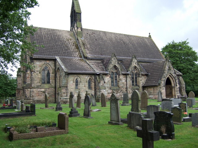
St Michael's Church, Hulme Walfield

St Michael's Church is in Giantswood Lane, Hulme Walfield, Cheshire, England. It is an active Anglican parish church in the deanery of Congleton, the...

Somerford Booths

Somerford Booths is a small civil parish in the unitary authority of Cheshire East and the ceremonial county of Cheshire, England. In the census of 2001...

Newsbank, Cheshire

Newsbank is a hamlet in Cheshire, England. It is situated approximately 2 miles (3.2 km) north west of the market town of Congleton and is the main settlement...

Nearby Amenities

Located within 500m of 53.182288,-2.22809
Bus Stop
Hulme Walfield, Giantswood Lane / Smithy Lane
Bus: yes
Naptan AtcoCode: 0600CO267
Naptan Bearing: W
Naptan BusStopType: CUS
Naptan CommonName: Smithy Lane
Naptan Crossing: Smithy Lane
Naptan Indicator: opp
Naptan Landmark: Smithy Lane
Naptan LocalityName: Hulme Walfield
Naptan NaptanCode: cheapag
Naptan ShortCommonName: Smithy Lane
Naptan Street: Giantswood Lane
Naptan Verified: no
Network: Cheshire East Council
Operator: Ansa Transport
Public Transport: platform
Source: naptan_import
Lat/Long: 53.1822165/-2.2286035
Barrier: stile
Material: wood
Step Count: 1
Stile: stepover
Lat/Long: 53.1826823/-2.2234138
Barrier: kissing_gate
Material: metal
Vehicle: no
Lat/Long: 53.184108/-2.22348
Barrier: stile
Material: wood
Step Count: 2
Stile: stepover
Lat/Long: 53.1791661/-2.2234933
Crossing
Crossing: unmarked
Kerb: lowered
Lat/Long: 53.1785754/-2.2311287
Crossing
Crossing: unmarked
Kerb: lowered
Lat/Long: 53.1785842/-2.2310576
Barrier: kissing_gate
Lat/Long: 53.1795852/-2.2249846
Hulme Walfield
Place: hamlet
Wikidata: Q3966704
Lat/Long: 53.182636/-2.2285312
Natural: stone
Note: modern standing stone
Lat/Long: 53.1842734/-2.2249083
Addr Housename: Hulme Walfield Hall
Lat/Long: 53.1860297/-2.2292299
Addr Housename: Manor House
Lat/Long: 53.1826361/-2.2277198
Addr Housename: Giantswood Farm
Lat/Long: 53.1816898/-2.2276635
Addr Housename: Brickhouse Farm
Lat/Long: 53.1843612/-2.2228356
Barrier: stile
Lat/Long: 53.1825073/-2.2227698
Natural: stone
Note: modern standing stone
Lat/Long: 53.1842616/-2.2249239
Barrier: kissing_gate
Material: metal
Vehicle: no
Lat/Long: 53.1831775/-2.2235781
Information: guidepost
Tourism: information
Lat/Long: 53.1822809/-2.2280925
Grit Bin
Seasonal: no
Lat/Long: 53.1853215/-2.2276202
The data included in this document is from www.openstreetmap.org. The data is made available under ODbL.

Have you been to Hulme Walfield?

Leave your review of Hulme Walfield below (or comments, questions and feedback).