Hulme End
Settlement in Staffordshire Staffordshire Moorlands
England
Hulme End
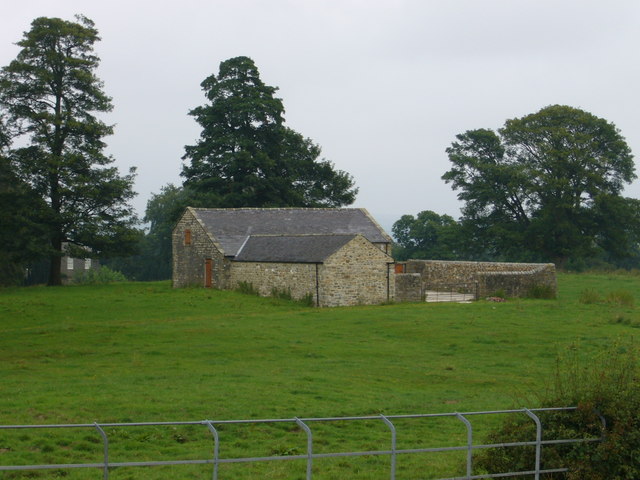
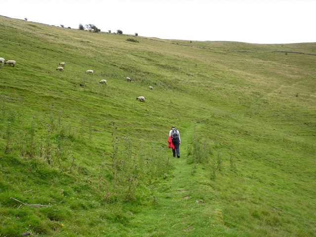
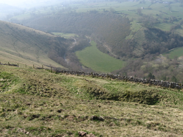
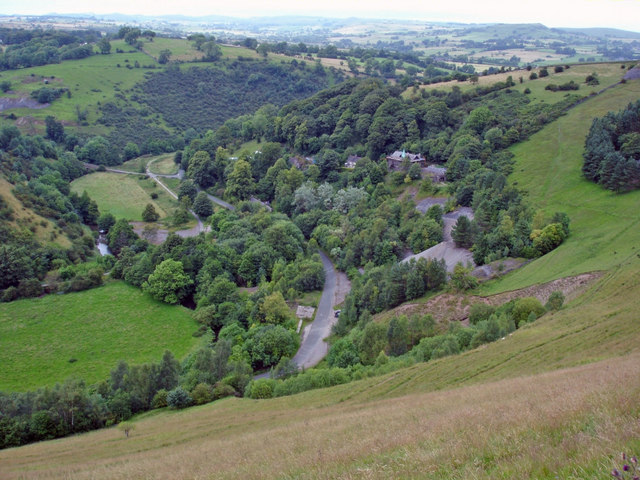
Hulme End is a small village situated in the Staffordshire Moorlands district of Staffordshire, England. It is located in the picturesque Manifold Valley, surrounded by the stunning Peak District National Park. With a population of just over 100 people, Hulme End offers a tranquil and idyllic setting for residents and visitors alike.
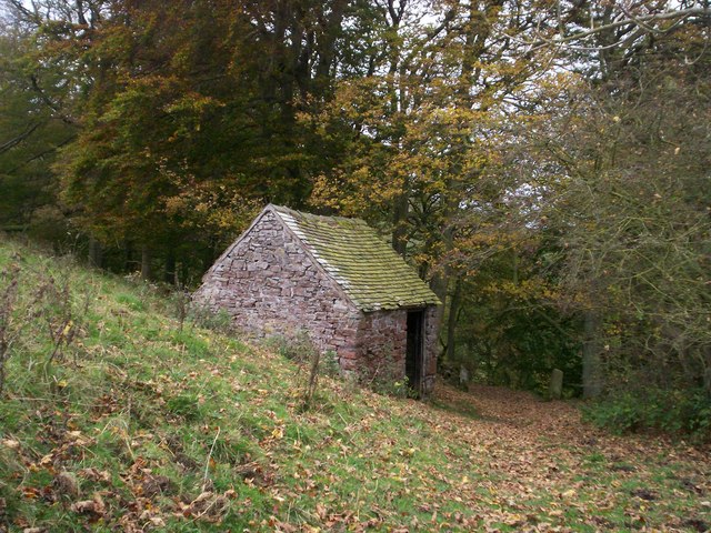
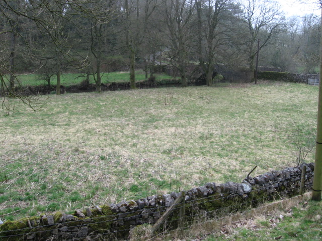
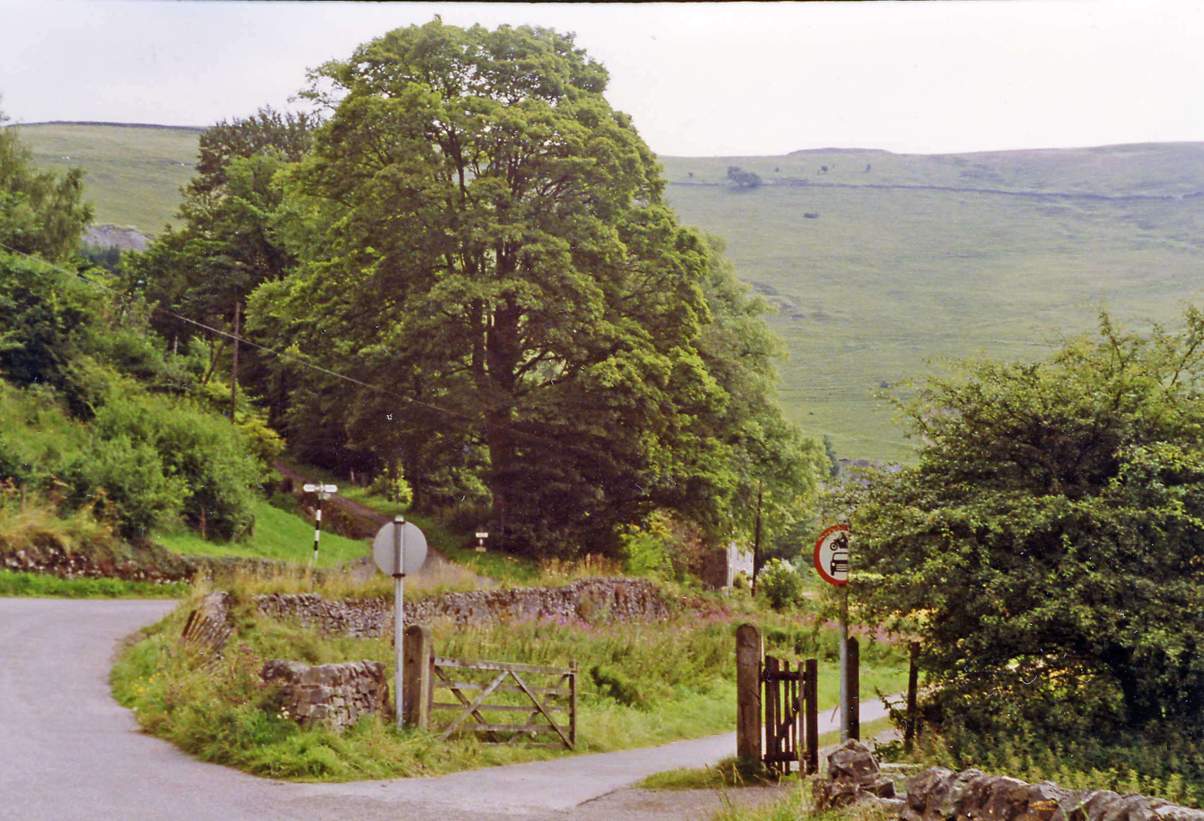
The village is known for its rich history, dating back to the 13th century when it was primarily an agricultural community. Today, it retains much of its traditional charm, with charming stone cottages and a quaint village green. The nearby River Manifold adds to the village's natural beauty, offering opportunities for fishing and leisurely walks along its banks.
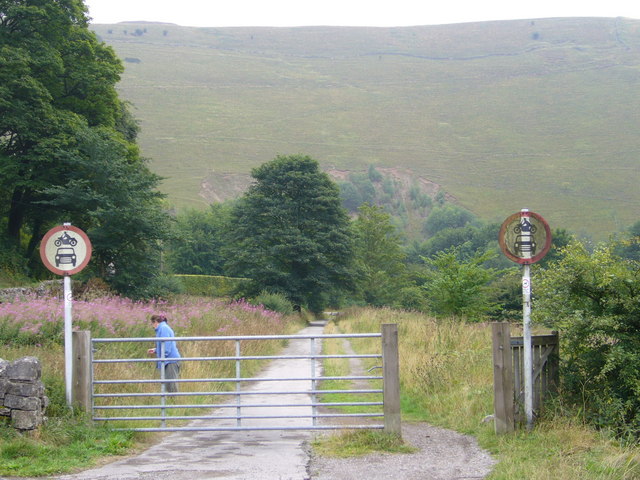
Hulme End is also famous for being the starting point of the Manifold Way, a scenic walking and cycling trail that follows the route of a former railway line. This trail is a popular attraction for outdoor enthusiasts, offering stunning views of the surrounding countryside and passing through several charming villages along its 8-mile route.
In terms of amenities, Hulme End features a few local businesses, including a pub and a tearoom, offering a warm welcome to visitors. The village is also home to a small primary school, providing education for the local children.
Overall, Hulme End is a picturesque and peaceful village that serves as a gateway to the stunning natural beauty of the Peak District. Its rich history, scenic surroundings, and outdoor recreational opportunities make it an attractive destination for those seeking a tranquil escape from the hustle and bustle of urban life.
If you have any feedback on the listing, please let us know in the comments section below.
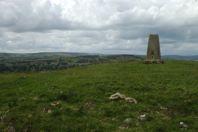
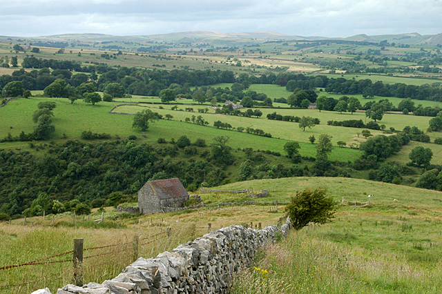
Hulme End Images
Images are sourced within 2km of 53.131285/-1.845126 or Grid Reference SK1059. Thanks to Geograph Open Source API. All images are credited.


Hulme End is located at Grid Ref: SK1059 (Lat: 53.131285, Lng: -1.845126)
Administrative County: Staffordshire
District: Staffordshire Moorlands
Police Authority: Staffordshire
What 3 Words
///crystals.multiples.paves. Near Newhaven, Derbyshire
Nearby Locations
Related Wikis

Hulme End
Hulme End () is a small hamlet in Staffordshire, England. It is located in the Peak District National Park about 10 miles north of Ashbourne. A natural...
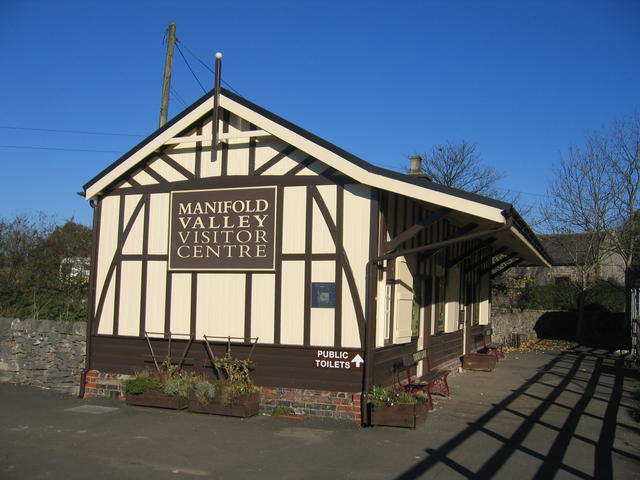
Hulme End railway station
Hulme End railway station is a disused railway station in Staffordshire, England. The station was the terminus of the 2 ft 6 in (762 mm) Leek and Manifold...
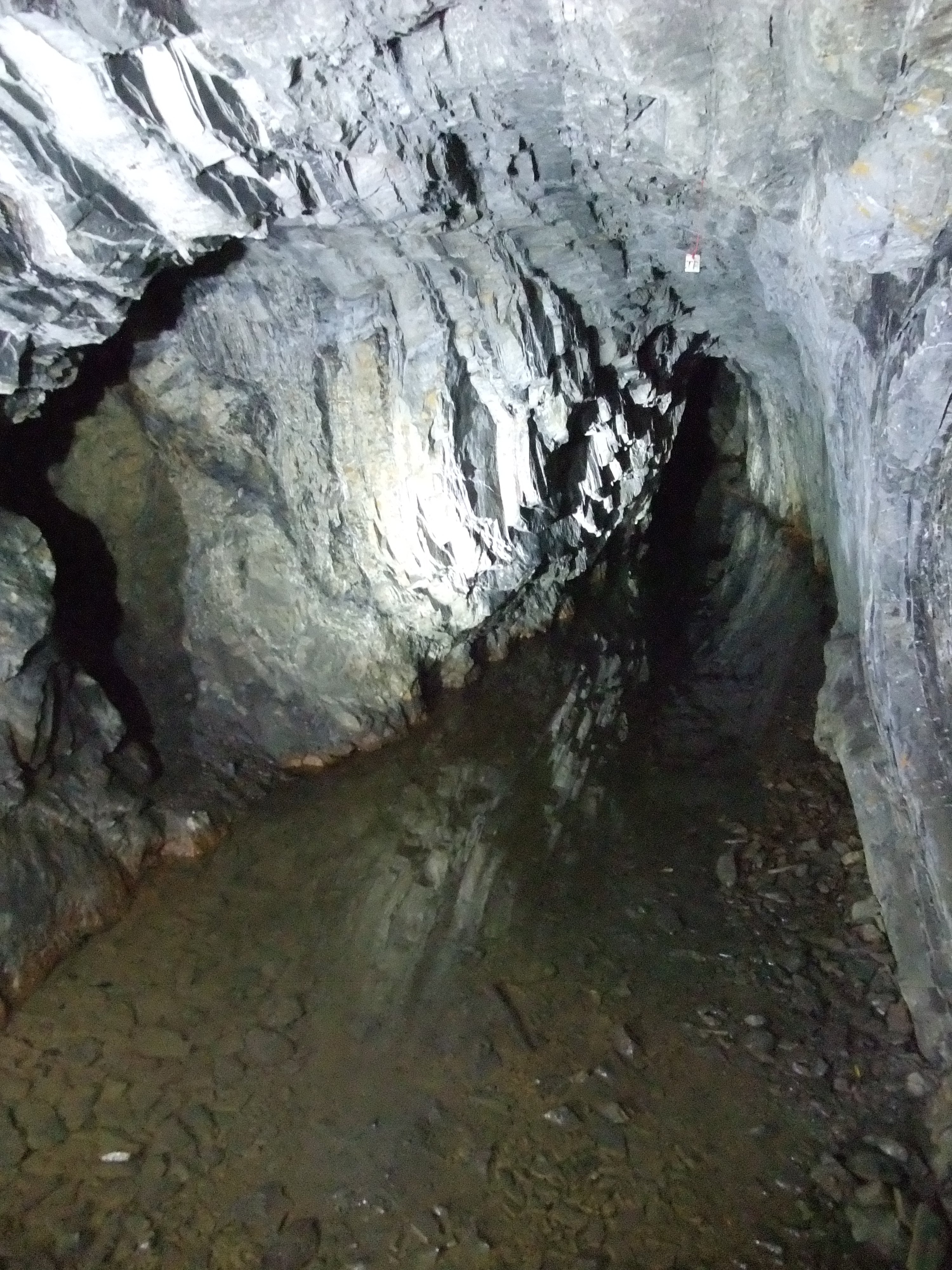
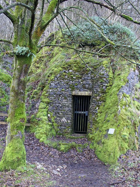
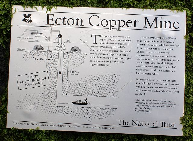
Ecton Mines
A group of mines on Ecton Hill, Staffordshire, are unusual for the Peak District in producing predominantly copper rather than lead and zinc. The most...
Ecton, Staffordshire
Ecton is a hamlet in the Staffordshire Peak District (grid reference SK096584). It is on the Manifold Way, an 8-mile (13 km) walk and cycle path that follows...
Ecton railway station
Ecton railway station was a station on the Leek and Manifold Light Railway. It served the hamlet of Ecton, Staffordshire. Today, the site is now part of...

Warslow
Warslow is a small village in Staffordshire, England. It is located in the Peak District National Park about 10 miles (16 km) north of Ashbourne. Although...

Butterton railway station
Butterton railway station was a station on the Leek and Manifold Light Railway. It served the village of Butterton in Staffordshire. The site is now part...
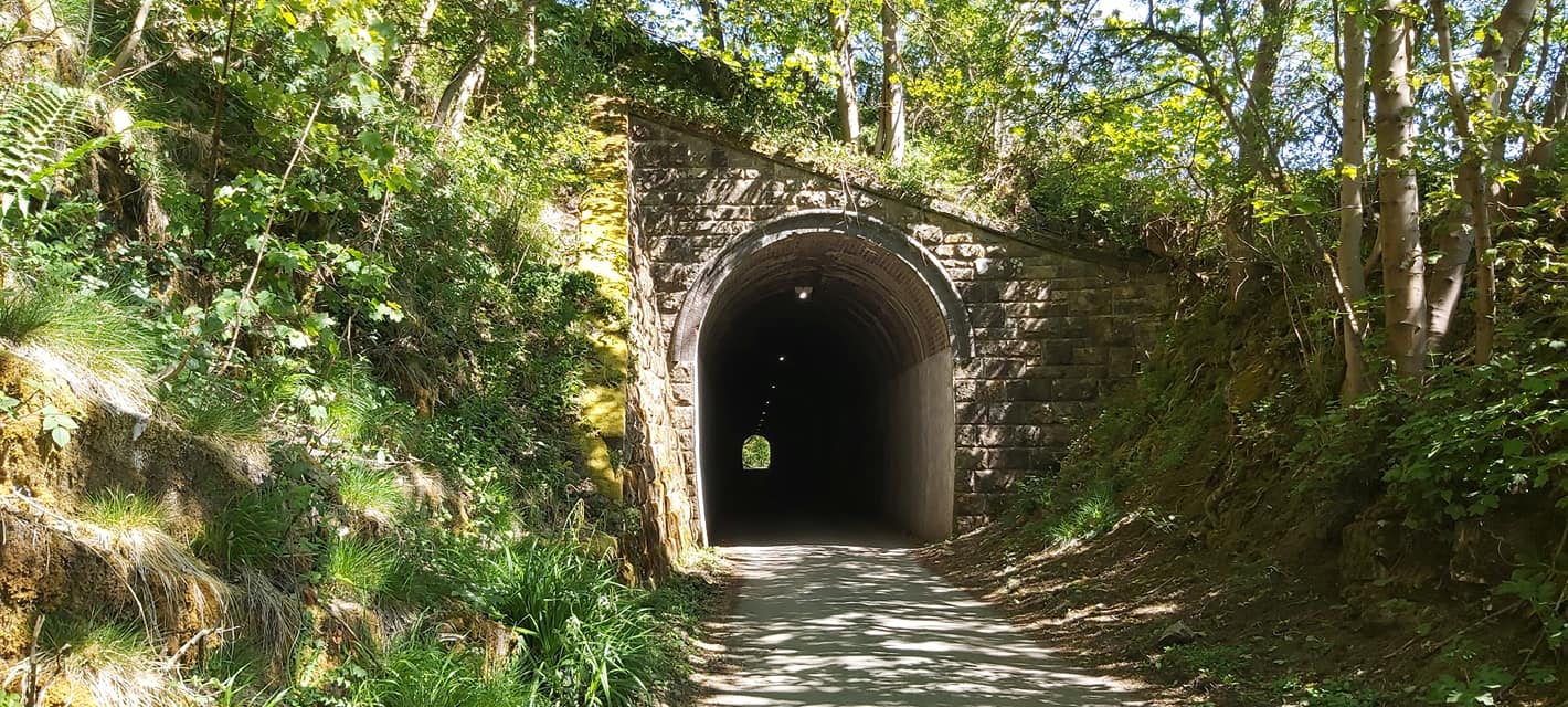
Swainsley Tunnel
Swainsley Tunnel is a tunnel on the route of the former Leek and Manifold Light Railway, which connected the market town of Leek with Hulme End, via Waterhouses...
Nearby Amenities
Located within 500m of 53.131285,-1.845126Have you been to Hulme End?
Leave your review of Hulme End below (or comments, questions and feedback).