Hulme Walfield

Civil Parish in Cheshire

England

Hulme Walfield

Approaching shower - Midway House Farm, Congleton
Approaching shower - Midway House Farm, Congleton Credit: Colin Park

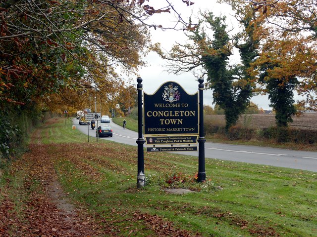
Hulme Walfield is a civil parish located in the county of Cheshire, England. Situated approximately 3 miles south-east of Congleton, the parish covers an area of around 3 square miles. It borders the neighbouring parishes of Somerford, Brereton, and Swettenham.

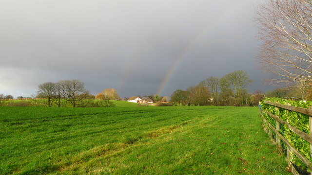
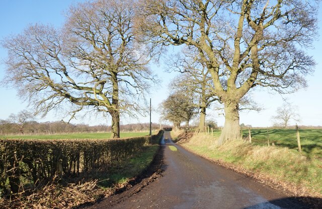
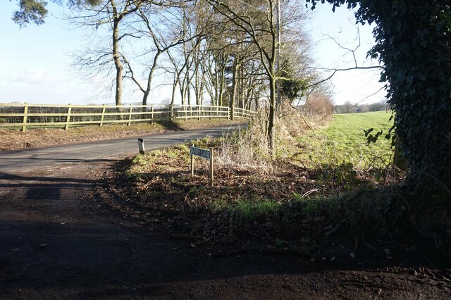
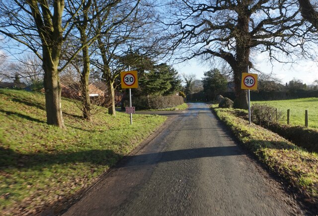
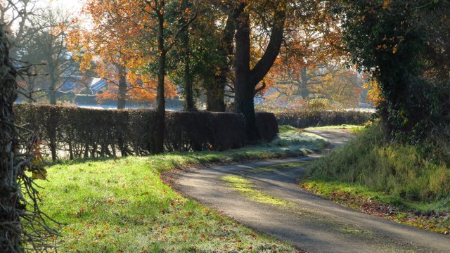
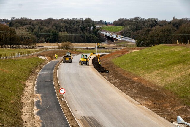
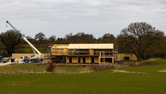
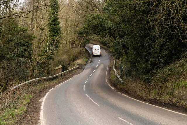
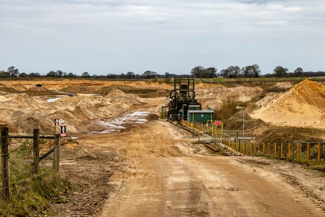
Hulme Walfield is a rural area characterized by its picturesque countryside and rolling hills. The landscape is predominantly agricultural, with farmland and pastures stretching across the parish. The area is known for its scenic beauty, attracting visitors and nature enthusiasts alike.

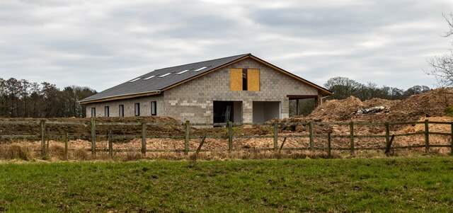
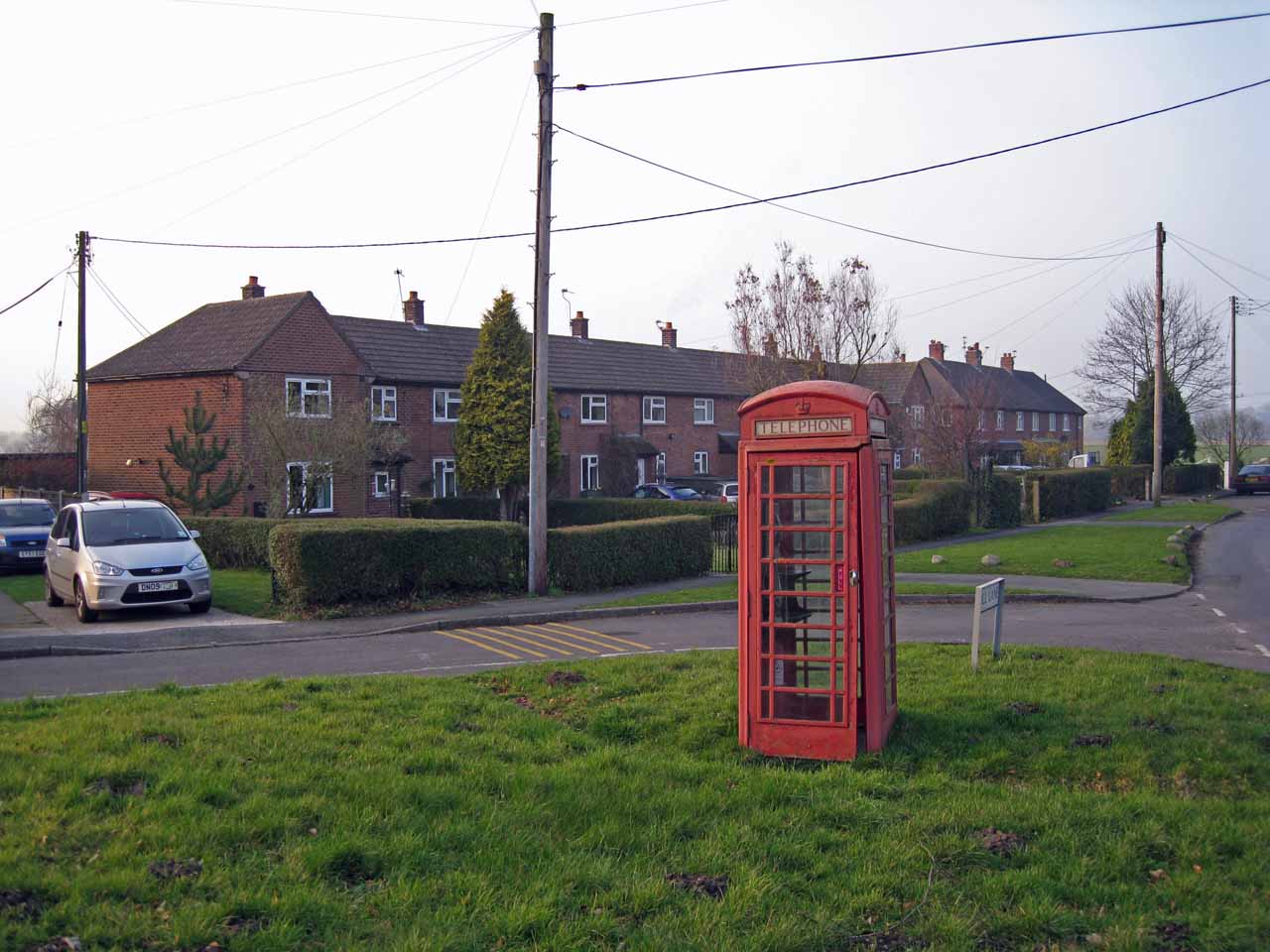
The parish is home to a small population, primarily residing in scattered farmhouses and cottages. The village itself is quite small, with a few residential properties and a local church, the Church of St. John the Evangelist. The church, which dates back to the 19th century, is a prominent feature of the village and serves as a place of worship for the local community.

Although Hulme Walfield is predominantly rural, it benefits from its proximity to Congleton, a larger town with a range of amenities and services. Residents of Hulme Walfield can easily access shops, schools, healthcare facilities, and other amenities in Congleton.

Overall, Hulme Walfield offers a tranquil and idyllic setting for those seeking a rural lifestyle, while still providing easy access to nearby towns and amenities.

If you have any feedback on the listing, please let us know in the comments section below.

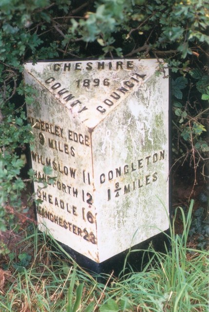
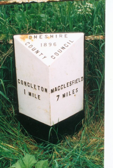
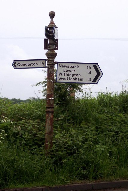
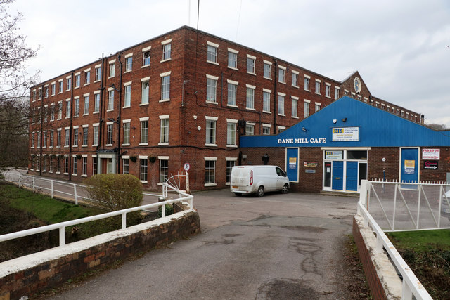
Hulme Walfield Images

Images are sourced within 2km of 53.183631/-2.226601 or Grid Reference SJ8465. Thanks to Geograph Open Source API. All images are credited.

Approaching shower - Midway House Farm, Congleton
Farm track to Jackfields Farm off Sandy Lane
Junction of Fords Lane and Sandy Lane
School Lane, Eaton
School Lane, Eaton
Bebbington Road approaching Eaton near Congleton
Congleton town sign On the A536 Macclesfield Road to the north of the town
Congleton town sign
On the A536 Macclesfield Road to the north of the town
Norbury Drive, Lower Heath Taken from Rood Lane (A34).
Norbury Drive, Lower Heath
Taken from Rood Lane (A34).
Old Milepost by the A34, Congleton Road Cast iron post by the A34, in parish of Hulme Walfield (Congleton District), South of Brickyard Farm, on the verge, back to wire fence, on West side of road. Cast iron CCC1896, erected by the County Council in the 19th century. 

Inscription reads:-
: ALDERLEY EDGE / 8 MILES / WILMSLOW 10 / HANDFORTH 11 / CHEADLE 15 / MANCHESTER 22 : : CHESHIRE / 1896 / COUNTY COUNCIL : : CONGLETON / 2¾ MILES :
Maker:-
: W H SMITH & CO / MAKER / WHITCHURCH :

Milestone Society National ID: CH_AECO08
Old Milepost by the A34, Congleton Road
Cast iron post by the A34, in parish of Hulme Walfield (Congleton District), South of Brickyard Farm, on the verge, back to wire fence, on West side of road. Cast iron CCC1896, erected by the County Council in the 19th century. Inscription reads:- : ALDERLEY EDGE / 8 MILES / WILMSLOW 10 / HANDFORTH 11 / CHEADLE 15 / MANCHESTER 22 : : CHESHIRE / 1896 / COUNTY COUNCIL : : CONGLETON / 2¾ MILES : Maker:- : W H SMITH & CO / MAKER / WHITCHURCH : Milestone Society National ID: CH_AECO08
Old Milepost by the A34, north of Congleton Cast iron post by the A34, in parish of Eaton (Macclesfield District), South East of Midway Farmhouse, near bend, on the verge in hedge, on West side of road. Cast iron CCC1896, erected by the County Council in the 19th century. 

Inscription reads:-
: ALDERLEY EDGE / 9 MILES / WILMSLOW 11 / HANDFORTH 12 / CHEADLE 16 / MANCHESTER 23 : : CHESHIRE / 1896 / COUNTY COUNCIL : : CONGLETON / 1¾ MILES :
Maker:-
: W H SMITH & CO / MAKERS / WHITCHURCH :  

Milestone Society National ID: CH_AECO09
Old Milepost by the A34, north of Congleton
Cast iron post by the A34, in parish of Eaton (Macclesfield District), South East of Midway Farmhouse, near bend, on the verge in hedge, on West side of road. Cast iron CCC1896, erected by the County Council in the 19th century. Inscription reads:- : ALDERLEY EDGE / 9 MILES / WILMSLOW 11 / HANDFORTH 12 / CHEADLE 16 / MANCHESTER 23 : : CHESHIRE / 1896 / COUNTY COUNCIL : : CONGLETON / 1¾ MILES : Maker:- : W H SMITH & CO / MAKERS / WHITCHURCH : Milestone Society National ID: CH_AECO09
Old Milepost by the A536, Macclesfield Road, Congleton Cast iron post by the A536, in parish of Eaton (Macclesfield District), Havannah Lane junction, on the verge back to metal railings, on East side of road. Cast iron CCC1896, erected by the County Council in the 19th century. 

Inscription reads:-
: CONGLETON / 1 MILE : : CHESHIRE / 1896 / COUNTY COUNCIL : : MACCLESFIELD / 7 MILES :
Maker:-
: W H SMITH & CO / MAKERS / WHITCHURCH :

Milestone Society National ID: CH_COMF01
Old Milepost by the A536, Macclesfield Road, Congleton
Cast iron post by the A536, in parish of Eaton (Macclesfield District), Havannah Lane junction, on the verge back to metal railings, on East side of road. Cast iron CCC1896, erected by the County Council in the 19th century. Inscription reads:- : CONGLETON / 1 MILE : : CHESHIRE / 1896 / COUNTY COUNCIL : : MACCLESFIELD / 7 MILES : Maker:- : W H SMITH & CO / MAKERS / WHITCHURCH : Milestone Society National ID: CH_COMF01
Old Direction Sign - Signpost by Giantswood Lane, Hulme Walfield parish Pawn finial - no arms; CCC M/T Post in parish of Hulme Walfield (Congleton District), Smithy Lane junction with Giantswood Lane, Hulme Walfield.

To be surveyed

Milestone Society National ID: CH_SJ8465
Old Direction Sign - Signpost by Giantswood Lane, Hulme Walfield parish
Pawn finial - no arms; CCC M/T Post in parish of Hulme Walfield (Congleton District), Smithy Lane junction with Giantswood Lane, Hulme Walfield. To be surveyed Milestone Society National ID: CH_SJ8465
Dane Mill, Congleton The modern extension spoils this somewhat. This is an early 19th century silk mill which was water powered from the river Dane. The central block is four storeys, 24 bays long with a central wheelhouse under the pedimented section. Now business units.
Dane Mill, Congleton
The modern extension spoils this somewhat. This is an early 19th century silk mill which was water powered from the river Dane. The central block is four storeys, 24 bays long with a central wheelhouse under the pedimented section. Now business units.
Congleton Link Road
Congleton Link Road
Congleton Link Road
Congleton Link Road
Claphatch Farm New building at Claphatch Farm.
Claphatch Farm
New building at Claphatch Farm.
Giantswood Lane
Giantswood Lane
Millies Wood New building near Millies Wood.
Millies Wood
New building near Millies Wood.
Sand & Gravel Quarry
Show me another place!

Hulme Walfield is located at Grid Ref: SJ8465 (Lat: 53.183631, Lng: -2.226601)

Unitary Authority: Cheshire East

Police Authority: Cheshire

What 3 Words

///ties.balconies.shippers. Near Eaton, Cheshire

Related Wikis

Hulme Walfield

Hulme Walfield is a small village and civil parish, just north of Congleton, in the unitary authority of Cheshire East and the ceremonial county of Cheshire...

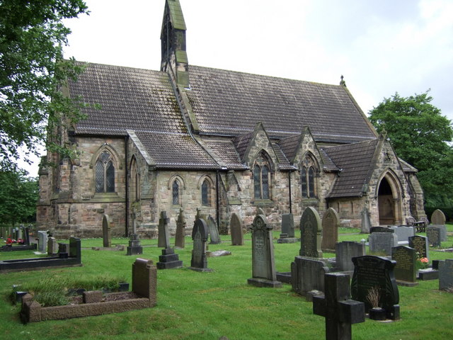
St Michael's Church, Hulme Walfield

St Michael's Church is in Giantswood Lane, Hulme Walfield, Cheshire, England. It is an active Anglican parish church in the deanery of Congleton, the...

Somerford Booths

Somerford Booths is a small civil parish in the unitary authority of Cheshire East and the ceremonial county of Cheshire, England. In the census of 2001...

Newsbank, Cheshire

Newsbank is a hamlet in Cheshire, England. It is situated approximately 2 miles (3.2 km) north west of the market town of Congleton and is the main settlement...

Related Videos

Hike the GRITSTONE TRAIL of Cheshire - (2 day hike with 1 night of wild camping)

The Gritstone Trail is a ridge hike of 35 miles exploring the eastern section of the county of Cheshire, close to the Peak District.

Congleton | Cheshire | Walk | 4K

A walk through beautiful Congleton in Cheshire East. Starting on Little Street we walk up to see The Lion & Swan (5* Hotel) round ...

Congleton

A Walk Around This Friendly Area.

Nearby Amenities

Located within 500m of 53.183631,-2.226601
Bus Stop
Hulme Walfield, Giantswood Lane / Smithy Lane
Bus: yes
Naptan AtcoCode: 0600CO267
Naptan Bearing: W
Naptan BusStopType: CUS
Naptan CommonName: Smithy Lane
Naptan Crossing: Smithy Lane
Naptan Indicator: opp
Naptan Landmark: Smithy Lane
Naptan LocalityName: Hulme Walfield
Naptan NaptanCode: cheapag
Naptan ShortCommonName: Smithy Lane
Naptan Street: Giantswood Lane
Naptan Verified: no
Network: Cheshire East Council
Operator: Ansa Transport
Public Transport: platform
Source: naptan_import
Lat/Long: 53.1822165/-2.2286035
Barrier: stile
Material: wood
Step Count: 1
Stile: stepover
Lat/Long: 53.1826823/-2.2234138
Barrier: kissing_gate
Material: metal
Vehicle: no
Lat/Long: 53.184108/-2.22348
Barrier: kissing_gate
Lat/Long: 53.1795852/-2.2249846
Hulme Walfield
Place: hamlet
Wikidata: Q3966704
Lat/Long: 53.182636/-2.2285312
Natural: stone
Note: modern standing stone
Lat/Long: 53.1842734/-2.2249083
Addr Housename: Hulme Walfield Hall
Lat/Long: 53.1860297/-2.2292299
Addr Housename: Manor House
Lat/Long: 53.1826361/-2.2277198
Addr Housename: Giantswood Farm
Lat/Long: 53.1816898/-2.2276635
Addr Housename: Brickhouse Farm
Lat/Long: 53.1843612/-2.2228356
Barrier: stile
Lat/Long: 53.1825073/-2.2227698
Natural: stone
Note: modern standing stone
Lat/Long: 53.1842616/-2.2249239
Barrier: kissing_gate
Material: metal
Vehicle: no
Lat/Long: 53.1831775/-2.2235781
Information: guidepost
Tourism: information
Lat/Long: 53.1822809/-2.2280925
Grit Bin
Seasonal: no
Lat/Long: 53.1853215/-2.2276202
The data included in this document is from www.openstreetmap.org. The data is made available under ODbL.

Have you been to Hulme Walfield?

Leave your review of Hulme Walfield below (or comments, questions and feedback).