Hill of Achalipster
Hill, Mountain in Caithness
Scotland
Hill of Achalipster
The Hill of Achalipster is a prominent landmark located in the county of Caithness, in the northernmost part of mainland Scotland. Rising to an elevation of approximately 352 meters (1,155 feet), it is classified as a hill rather than a mountain.
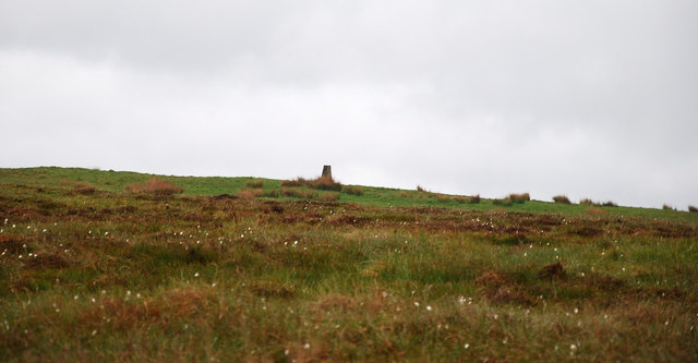
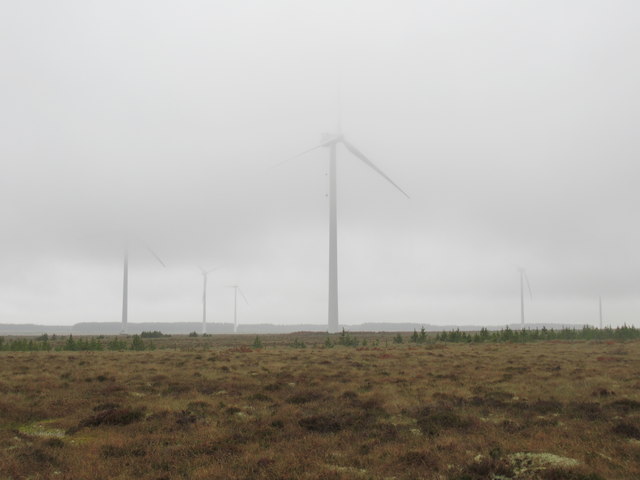
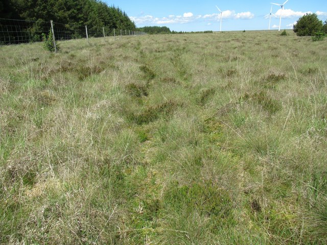
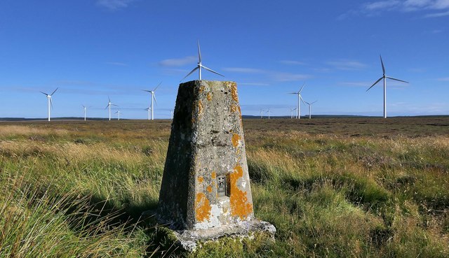
Situated in the remote and rugged countryside, the Hill of Achalipster offers breathtaking panoramic views of the surrounding landscape. From its summit, one can witness the vast expanse of the Caithness region, with its rolling hills, moorlands, and scattered lochs. On clear days, the views extend as far as the North Sea coastline and the Orkney Islands to the north.
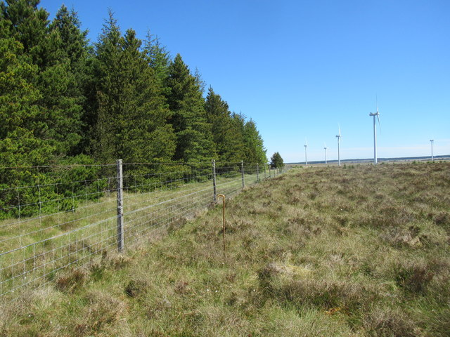
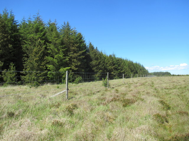
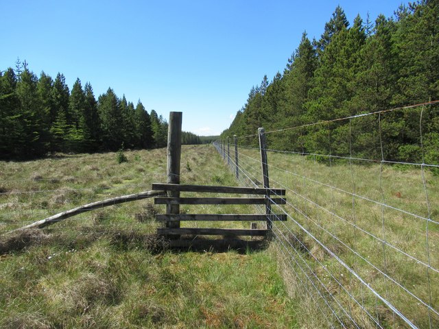
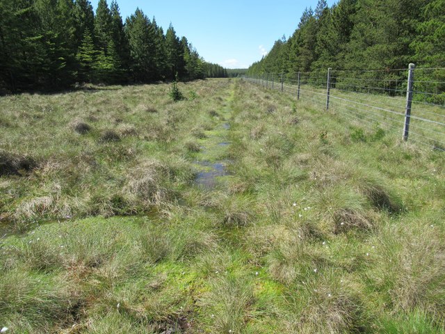
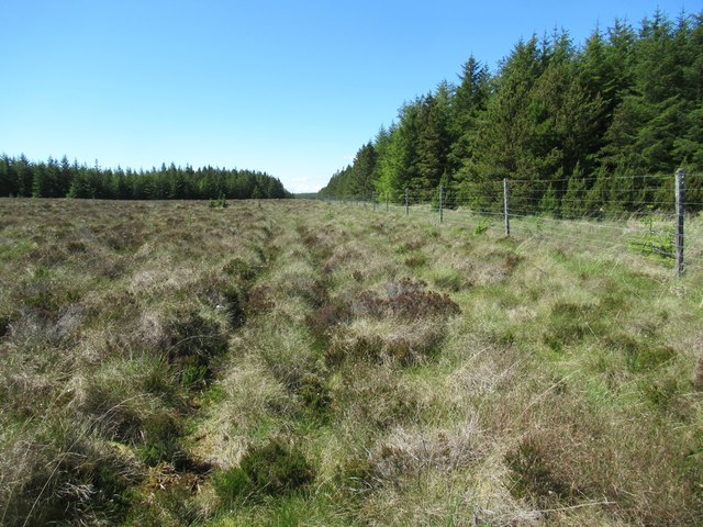
The hill itself is characterized by its grassy slopes, interspersed with rocky outcrops and craggy terrain. It is a popular spot for hillwalking and hiking enthusiasts, who are drawn to its natural beauty and tranquility. The ascent to the summit can be challenging, but once reached, visitors are rewarded with a sense of accomplishment and the opportunity to appreciate the untouched wilderness that surrounds them.
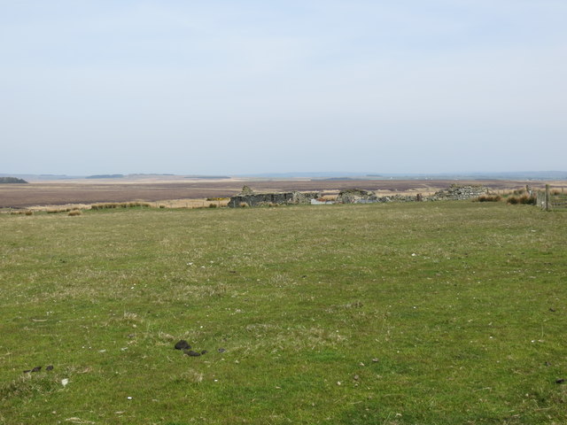
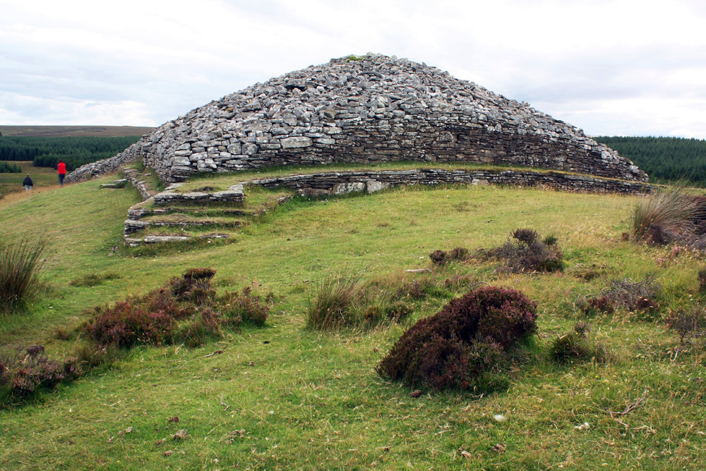
The Hill of Achalipster also holds historical significance, with ancient burial cairns and standing stones scattered across its slopes. These archaeological remnants offer insights into the region's past and the lives of its early inhabitants.
Overall, the Hill of Achalipster is a captivating destination for nature lovers, outdoor adventurers, and those seeking a peaceful retreat in the unspoiled beauty of Caithness.
If you have any feedback on the listing, please let us know in the comments section below.
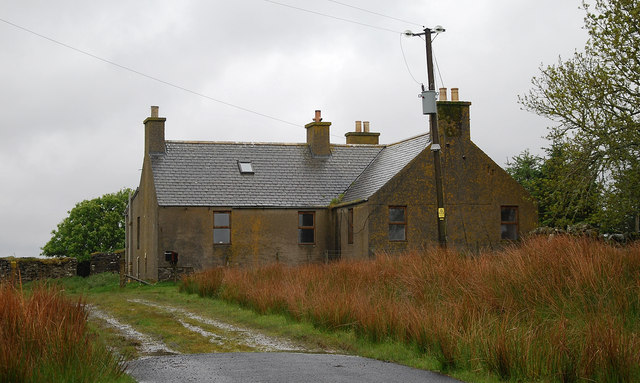
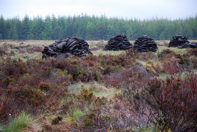
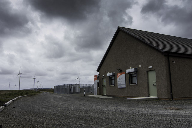
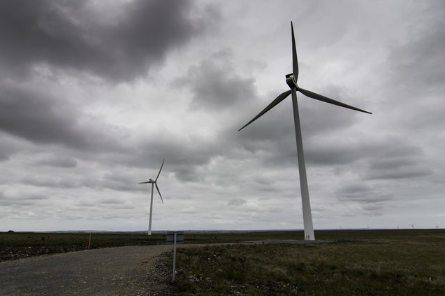
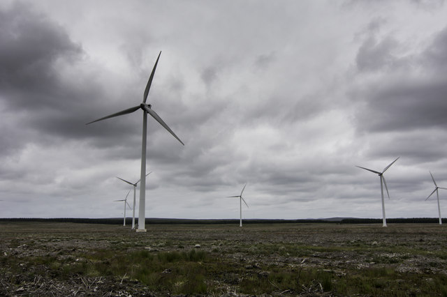
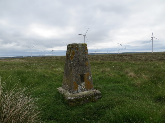
Hill of Achalipster Images
Images are sourced within 2km of 58.416404/-3.2938253 or Grid Reference ND2448. Thanks to Geograph Open Source API. All images are credited.


Hill of Achalipster is located at Grid Ref: ND2448 (Lat: 58.416404, Lng: -3.2938253)
Unitary Authority: Highland
Police Authority: Highlands and Islands
What 3 Words
///putts.cloth.ember. Near Wick, Highland
Nearby Locations
Related Wikis
Grey Cairns of Camster
The Grey Cairns of Camster are two large Neolithic chambered cairns located about 8+1⁄2 miles (14 kilometres) south of Watten and 5 miles (8 km) north...

Scouthal Burn
Scouthal Burn, a continuation of Burn of Acharole has its source in the Flow Country of Caithness, in the Highland area of Scotland, at a height of around...
Bilbster
Bilbster is a rural area in the Highlands region of Scotland. It is situated on the A882 road and consists of just a handful of houses spread over approximately...
Strath Burn (Wick River tributary)
Strath Burn is a stream which has its source in the Flow Country of Caithness, Scotland, at a height above sea level of around 70 metres, at the confluence...
Achairn Burn
Achairn Burn, known also as Haster Burn, is one of the major tributaries of Wick River, in Caithness, in the Highland area of Scotland. The burn's source...
Watten, Highland
Watten (Scottish Gaelic: Bhatan) is a small village in Caithness, in the Highland area of Scotland, on the main road (A882-A9) between the burgh of Wick...
Loch Burn, Watten
Loch Burn is a stream that flows out of the eastern end of Loch Watten in Caithness, in the Highland area of Scotland, at a height of around 20 metres...

Loch of Toftingall
Loch of Toftingall is a loch located to the east of Mybster in Highland, Scotland. It has a depth of 76 metres (249 ft) and a surface area of 50 hectares...
Nearby Amenities
Located within 500m of 58.416404,-3.2938253Have you been to Hill of Achalipster?
Leave your review of Hill of Achalipster below (or comments, questions and feedback).