Bloody Moss

Downs, Moorland in Caithness

Scotland

Bloody Moss

Abandoned Croft Badlipster appears to be an isolated outpost on the Lybster to Watten unclassified road.
Abandoned Croft Credit: Glen Breaden

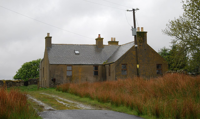
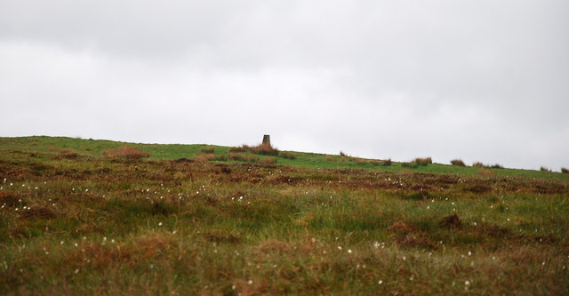
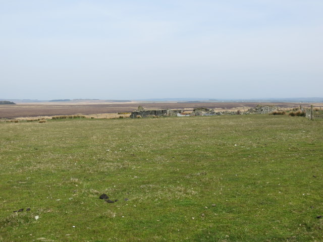
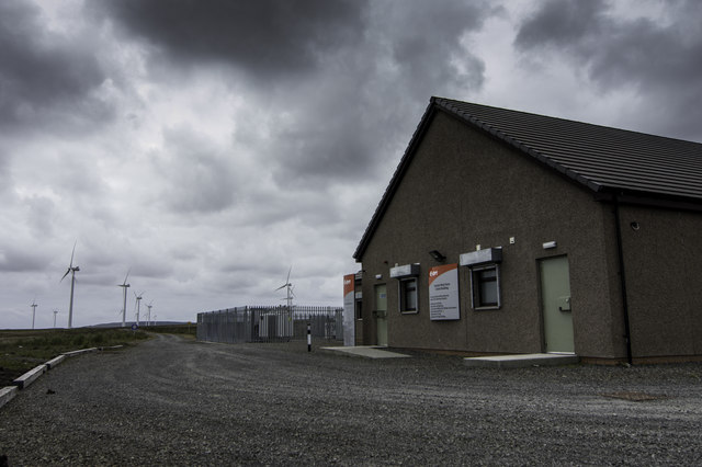
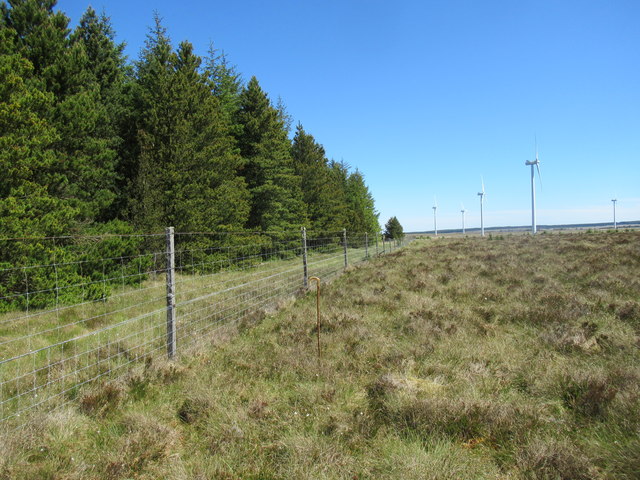
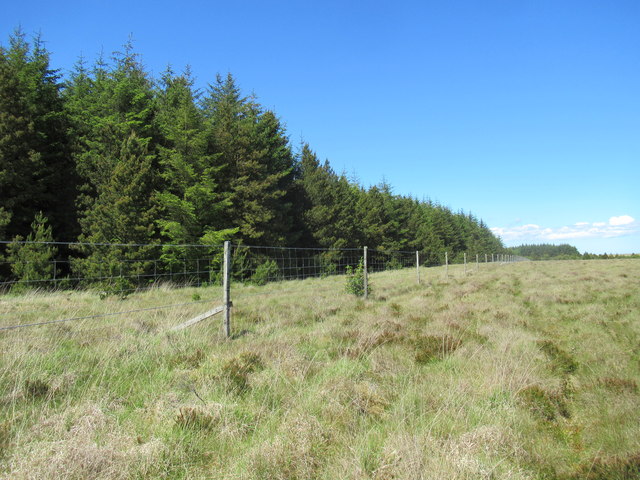
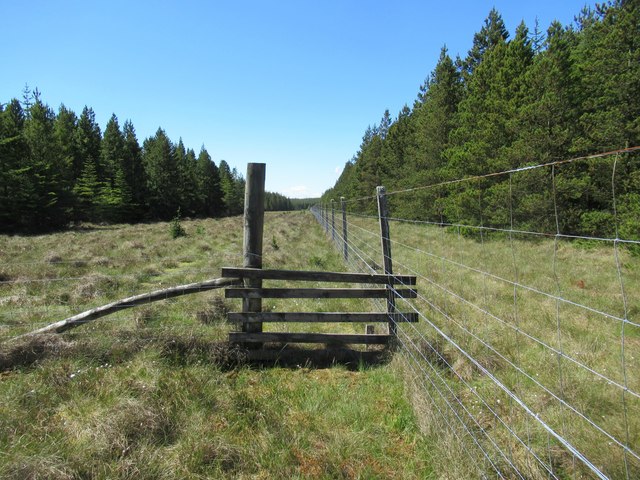
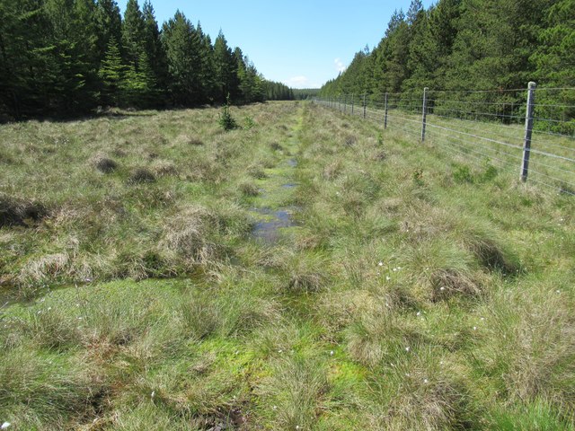
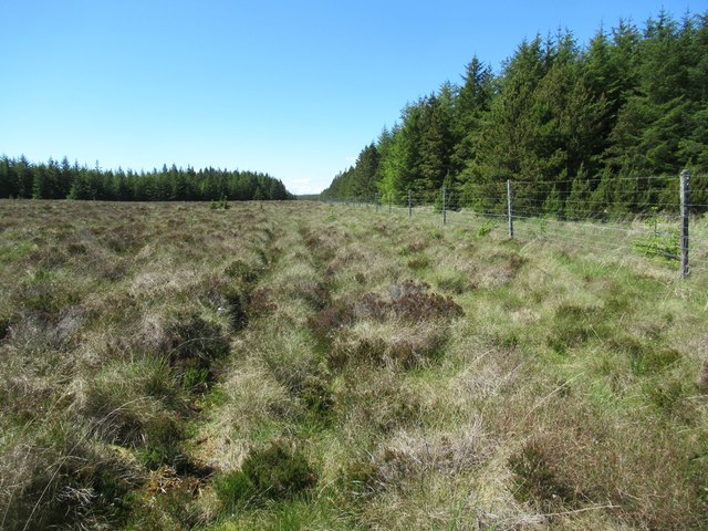
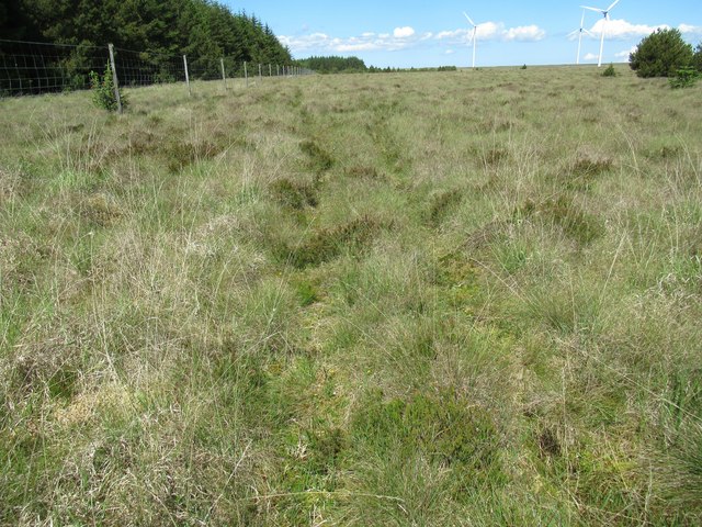
Bloody Moss is a captivating and unique area located in the county of Caithness, Scotland. Situated amidst the stunning surroundings of the Scottish Highlands, this region is known for its diverse landscapes, including downs, moorland, and marshes. The name "Bloody Moss" derives from the rich red hue that blankets the area during certain times of the year, caused by the blooming of vibrant heather plants that cover the moorland.

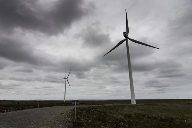
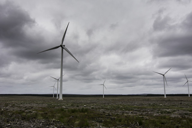
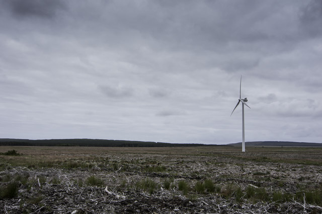
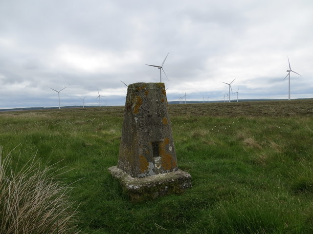
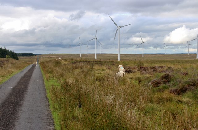
The downs of Bloody Moss offer breathtaking views, with rolling hills and expansive fields stretching as far as the eye can see. These downs are characterized by their grassy slopes and are home to a range of wildlife, including sheep, deer, and various bird species.

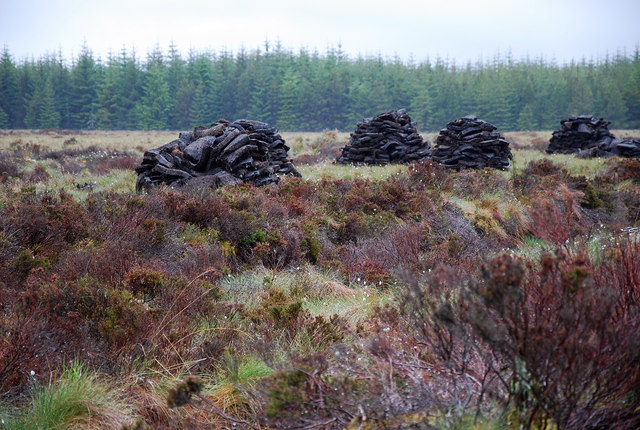
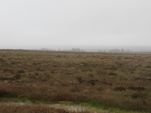
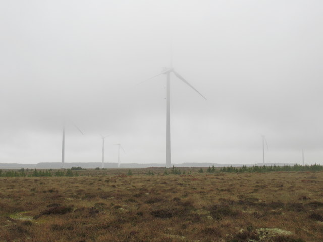
The moorland of Bloody Moss is a haven for nature enthusiasts, boasting a wide array of flora and fauna. Here, one can find an abundance of heather, which transforms the landscape into a sea of purple during the blooming season. The moorland is also punctuated by scattered trees, providing shelter for small mammals and birds.

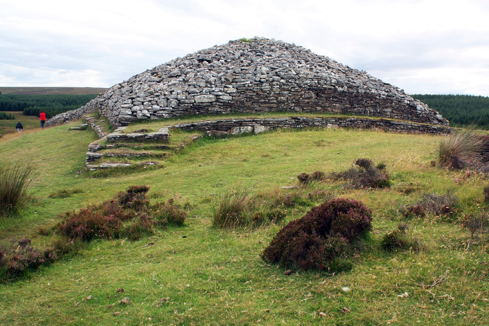
Bloody Moss is not only visually appealing but also holds historical significance. The area is dotted with ancient stone circles, cairns, and burial sites, offering a glimpse into the rich history and culture of the region.

Visitors to Bloody Moss can enjoy walking trails that wind through the downs and moorland, immersing themselves in the tranquil and remote beauty of the area. Whether it's capturing stunning photographs, observing wildlife, or exploring the ancient sites, Bloody Moss is a destination that truly captivates all who visit.

If you have any feedback on the listing, please let us know in the comments section below.

Bloody Moss Images

Images are sourced within 2km of 58.415119/-3.2867086 or Grid Reference ND2448. Thanks to Geograph Open Source API. All images are credited.

Abandoned Croft Badlipster appears to be an isolated outpost on the Lybster to Watten unclassified road.
Abandoned Croft
Badlipster appears to be an isolated outpost on the Lybster to Watten unclassified road.
Trig Point Looking east to Bad an Fheidh at the height of 107 metres.
Trig Point
Looking east to Bad an Fheidh at the height of 107 metres.
Peat Cuttings North of Lower Camster freshly cut peat which has been well stacked for drying.
Peat Cuttings
North of Lower Camster freshly cut peat which has been well stacked for drying.
Ruined buildings at Achalipster
Camster Wind Farm Control Room
Turbines at Camster Wind Farm
Camster Windfarm
Camster Windfarm
Turbine at Camster Wind Farm
Trig Point on the Hill of Achalipster
Public road past Camster Windfarm
View east to The Leanas near Camster, Caithness Further west nearer the whirlygig the ground had been ploughed for trees and planted, to judge by the debris. This made for awkward walking with ditches and ridges and rotten bits of timber; but east of here the ground was untouched and constantly gave the impression that one might puncture the surface tension and disappear!
View east to The Leanas near Camster, Caithness
Further west nearer the whirlygig the ground had been ploughed for trees and planted, to judge by the debris. This made for awkward walking with ditches and ridges and rotten bits of timber; but east of here the ground was untouched and constantly gave the impression that one might puncture the surface tension and disappear!
View south-west from bog near The Leanas, Caithness
Forest edge with a view to Badlipster Wind Conversion Farm near the Grey Cairns of Camster, Caithness
Forest edge on a Flow Country Sitka plantation, Caithness
Forest break with furniture near The Grey Cairns of Camster, Caithness
Boggy ditch in forest break near Camster, Caithness
Track to a forest break near Camster, Caithness
Track by a forest edge near Camster, Caithness
Show me another place!

Bloody Moss is located at Grid Ref: ND2448 (Lat: 58.415119, Lng: -3.2867086)

Unitary Authority: Highland

Police Authority: Highlands and Islands

What 3 Words

///observers.steam.down. Near Wick, Highland

Related Wikis

Grey Cairns of Camster

The Grey Cairns of Camster are two large Neolithic chambered cairns located about 8+1⁄2 miles (14 kilometres) south of Watten and 5 miles (8 km) north...

Scouthal Burn

Scouthal Burn, a continuation of Burn of Acharole has its source in the Flow Country of Caithness, in the Highland area of Scotland, at a height of around...

Bilbster

Bilbster is a rural area in the Highlands region of Scotland. It is situated on the A882 road and consists of just a handful of houses spread over approximately...

Strath Burn (Wick River tributary)

Strath Burn is a stream which has its source in the Flow Country of Caithness, Scotland, at a height above sea level of around 70 metres, at the confluence...

Nearby Amenities

Located within 500m of 58.415119,-3.2867086
Generator Method: wind_turbine
Generator Source: wind
Generator Type: horizontal_axis
Power: generator
Lat/Long: 58.4124814/-3.2799763
Generator Method: wind_turbine
Generator Source: wind
Generator Type: horizontal_axis
Power: generator
Lat/Long: 58.4156735/-3.2825645
Generator Method: wind_turbine
Generator Source: wind
Generator Type: horizontal_axis
Power: generator
Lat/Long: 58.4130719/-3.2871143
Generator Method: wind_turbine
Generator Source: wind
Generator Type: horizontal_axis
Power: generator
Lat/Long: 58.4147126/-3.2917163
Generator Method: wind_turbine
Generator Source: wind
Generator Type: horizontal_axis
Power: generator
Lat/Long: 58.4174379/-3.2888409
The data included in this document is from www.openstreetmap.org. The data is made available under ODbL.

Have you been to Bloody Moss?

Leave your review of Bloody Moss below (or comments, questions and feedback).