Cademuir Hill
Hill, Mountain in Peeblesshire
Scotland
Cademuir Hill
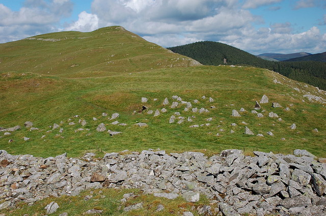
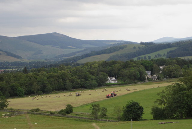
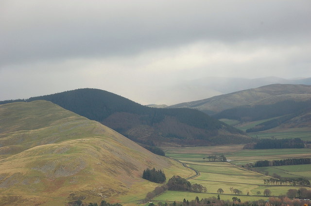
Cademuir Hill is a prominent hill located in the region of Peeblesshire, in the Scottish Borders, United Kingdom. Rising to an elevation of approximately 461 meters (1,512 feet), it forms part of the scenic Southern Uplands. The hill is situated just north of the town of Peebles and offers breathtaking panoramic views of the surrounding landscape.
Covered in heather and grass, Cademuir Hill is a popular destination for outdoor enthusiasts, hikers, and nature lovers. It boasts several well-maintained trails that cater to different levels of difficulty, making it accessible to both experienced walkers and beginners. The paths wind through forests and open moorland, allowing visitors to immerse themselves in the natural beauty of the area.
At the summit, Cademuir Hill rewards climbers with stunning vistas that stretch across the rolling hills, valleys, and the nearby Tweed Valley. On a clear day, it is even possible to catch glimpses of the distant hills of the Trossachs and the Southern Highlands. The hill's strategic location also makes it an ideal spot for birdwatching, as various species can be spotted soaring overhead or perched on branches.
Cademuir Hill holds historical significance as well, with remnants of ancient settlements and bronze age burials being discovered in the vicinity. These archaeological remains add an additional layer of intrigue to the site, making it an attractive destination for those interested in the region's rich history.
Overall, Cademuir Hill offers a captivating blend of natural beauty, recreational opportunities, and historical significance, making it a must-visit destination for anyone exploring Peeblesshire and the Scottish Borders.
If you have any feedback on the listing, please let us know in the comments section below.
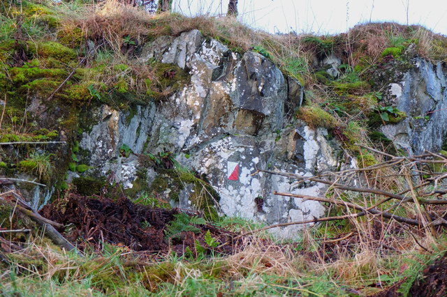
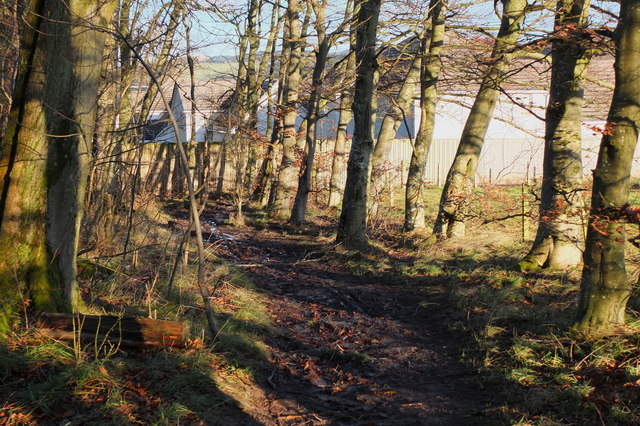
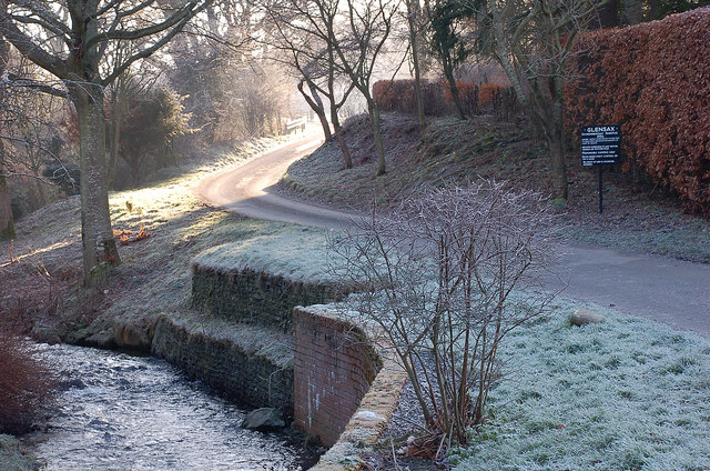
Cademuir Hill Images
Images are sourced within 2km of 55.626822/-3.205704 or Grid Reference NT2437. Thanks to Geograph Open Source API. All images are credited.


Cademuir Hill is located at Grid Ref: NT2437 (Lat: 55.626822, Lng: -3.205704)
Unitary Authority: The Scottish Borders
Police Authority: The Lothians and Scottish Borders
What 3 Words
///overgrown.listings.questions. Near Peebles, Scottish Borders
Nearby Locations
Related Wikis

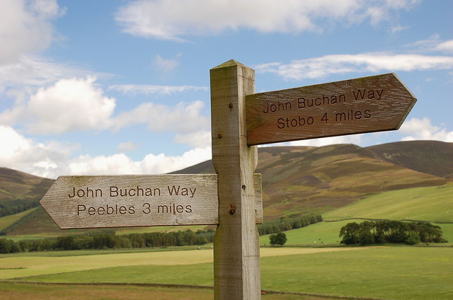
John Buchan Way
The John Buchan Way is a walking route from Peebles to Broughton in the Scottish Borders, a distance of approximately 22 km (13 miles). The route is waymarked...

Manor Water
Manor Water is a river in the parish of Manor, Peeblesshire in the Scottish Borders. It rises in the Ettrick Forest and flows down through the Maynor valley...

Manor, Scottish Borders
Manor is a parish in Peeblesshire in the Scottish Borders, whose church lies on the west bank of Manor Water 3 miles south-west of Peebles. The parish...

Peebles High School, Peeblesshire
Peebles High School is a state run comprehensive school for girls and boys aged 11–18 located in Peebles in the Scottish Borders. It was originally named...
Nearby Amenities
Located within 500m of 55.626822,-3.205704Have you been to Cademuir Hill?
Leave your review of Cademuir Hill below (or comments, questions and feedback).