Cademuir Plantation
Wood, Forest in Peeblesshire
Scotland
Cademuir Plantation
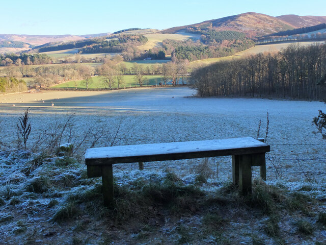
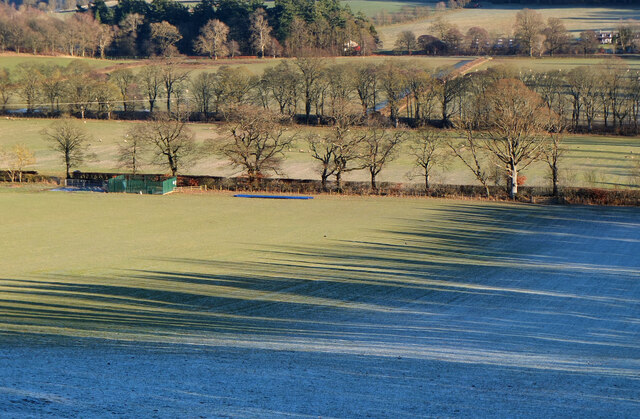
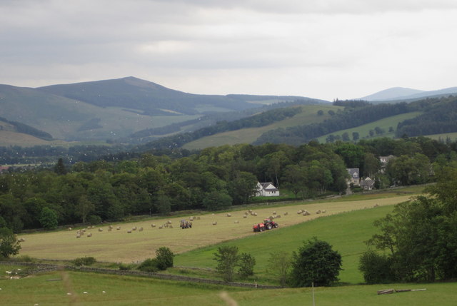
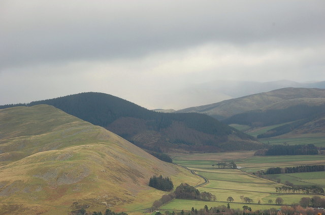
Cademuir Plantation is a sprawling wood and forest located in Peeblesshire, Scotland. Situated near the town of Peebles, the plantation covers a vast area of approximately 1,700 hectares. It is nestled within the scenic Tweed Valley, surrounded by rolling hills and breathtaking landscapes.
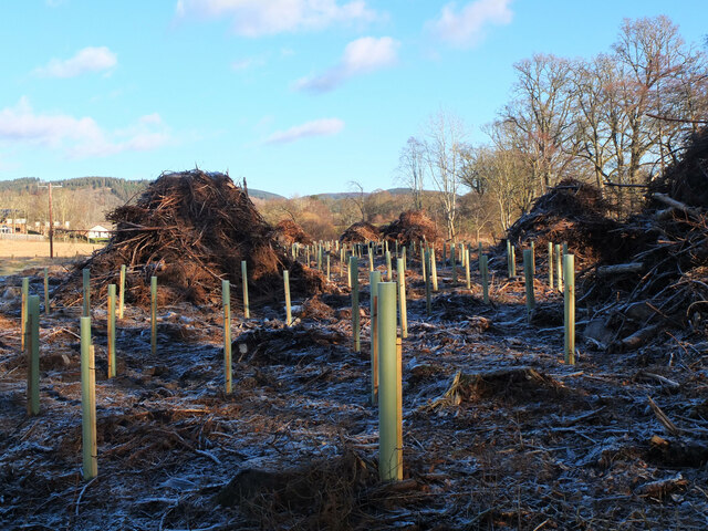
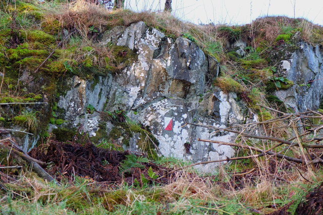
The plantation boasts a diverse range of tree species, including Scots pine, Sitka spruce, and European larch. These trees provide a majestic canopy, creating a serene and tranquil atmosphere. Cademuir Plantation is well-known for its dense woodland, offering a haven for wildlife and a myriad of plant species.
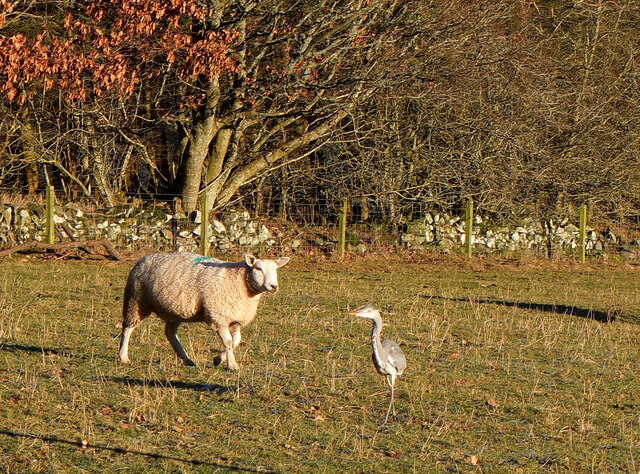
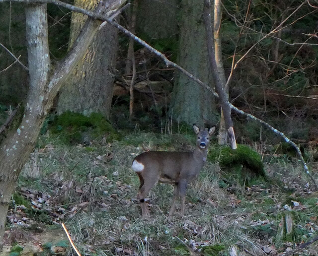
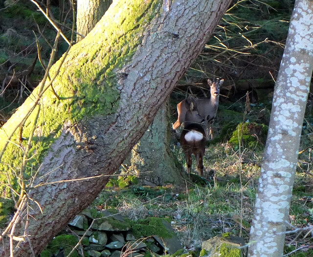
This woodland is not only aesthetically pleasing but also serves as an important ecological site. It provides a habitat for various bird species, such as buzzards, owls, and woodpeckers. Additionally, the plantation supports a range of mammal species, including roe deer, red squirrels, and badgers.
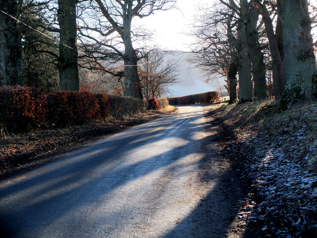
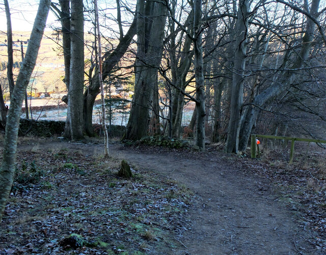
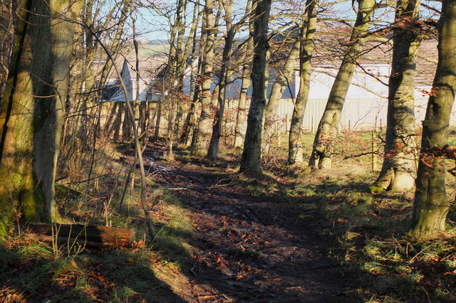
Cademuir Plantation is a popular destination for outdoor enthusiasts and nature lovers. It offers numerous walking trails and paths, allowing visitors to explore and immerse themselves in its natural beauty. The plantation also provides opportunities for recreational activities such as mountain biking and horse riding.
The stunning views and peaceful ambiance make Cademuir Plantation an ideal place for picnics and relaxation. The plantation is well-maintained, with clear signage and designated parking areas for visitors' convenience.
Overall, Cademuir Plantation in Peeblesshire is a captivating woodland that showcases the natural beauty of Scotland. With its rich biodiversity and recreational opportunities, it is a cherished destination for both locals and tourists seeking a peaceful retreat in nature.
If you have any feedback on the listing, please let us know in the comments section below.
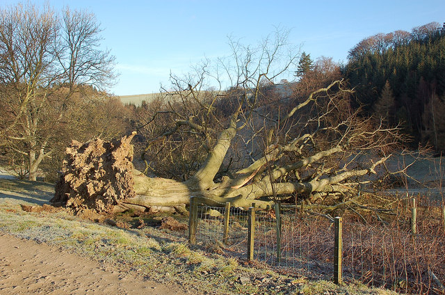
Cademuir Plantation Images
Images are sourced within 2km of 55.627906/-3.2023861 or Grid Reference NT2437. Thanks to Geograph Open Source API. All images are credited.

Cademuir Plantation is located at Grid Ref: NT2437 (Lat: 55.627906, Lng: -3.2023861)
Unitary Authority: The Scottish Borders
Police Authority: The Lothians and Scottish Borders
What 3 Words
///journey.emblem.outbursts. Near Peebles, Scottish Borders
Nearby Locations
Related Wikis

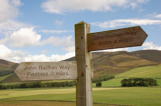
John Buchan Way
The John Buchan Way is a walking route from Peebles to Broughton in the Scottish Borders, a distance of approximately 22 km (13 miles). The route is waymarked...

Peebles High School, Peeblesshire
Peebles High School is a state run comprehensive school for girls and boys aged 12–18 located in Peebles in the Scottish Borders. It was originally named...

Manor Water
Manor Water is a river in the parish of Manor, Peeblesshire in the Scottish Borders. It rises in the Ettrick Forest and flows down through the Maynor valley...

Manor, Scottish Borders
Manor is a parish in Peeblesshire in the Scottish Borders, whose church lies on the west bank of Manor Water 3 miles south-west of Peebles.The parish...
Nearby Amenities
Located within 500m of 55.627906,-3.2023861Have you been to Cademuir Plantation?
Leave your review of Cademuir Plantation below (or comments, questions and feedback).