Cairn Daunie

Hill, Mountain in Angus

Scotland

Cairn Daunie

Mid Rig Gentle moorland ridge running south from Craigie Thieves. Used as grouse moor and for grazing sheep. Some of the western part of the square is forested.
Mid Rig Credit: Richard Webb

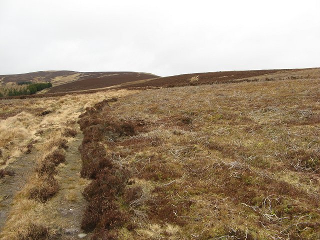
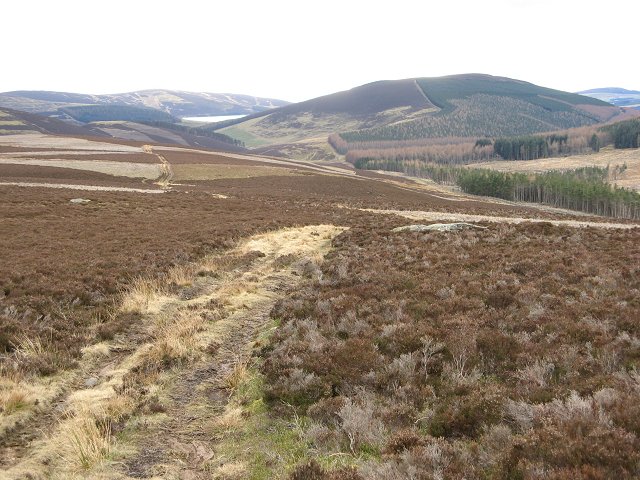
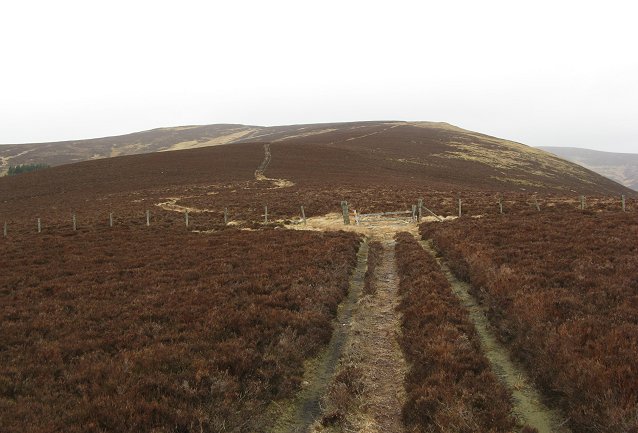
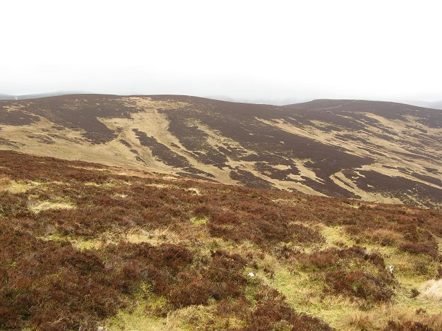
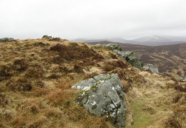
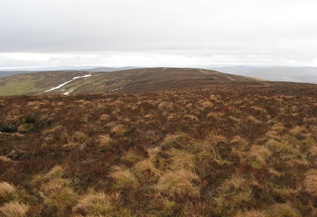
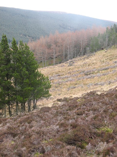
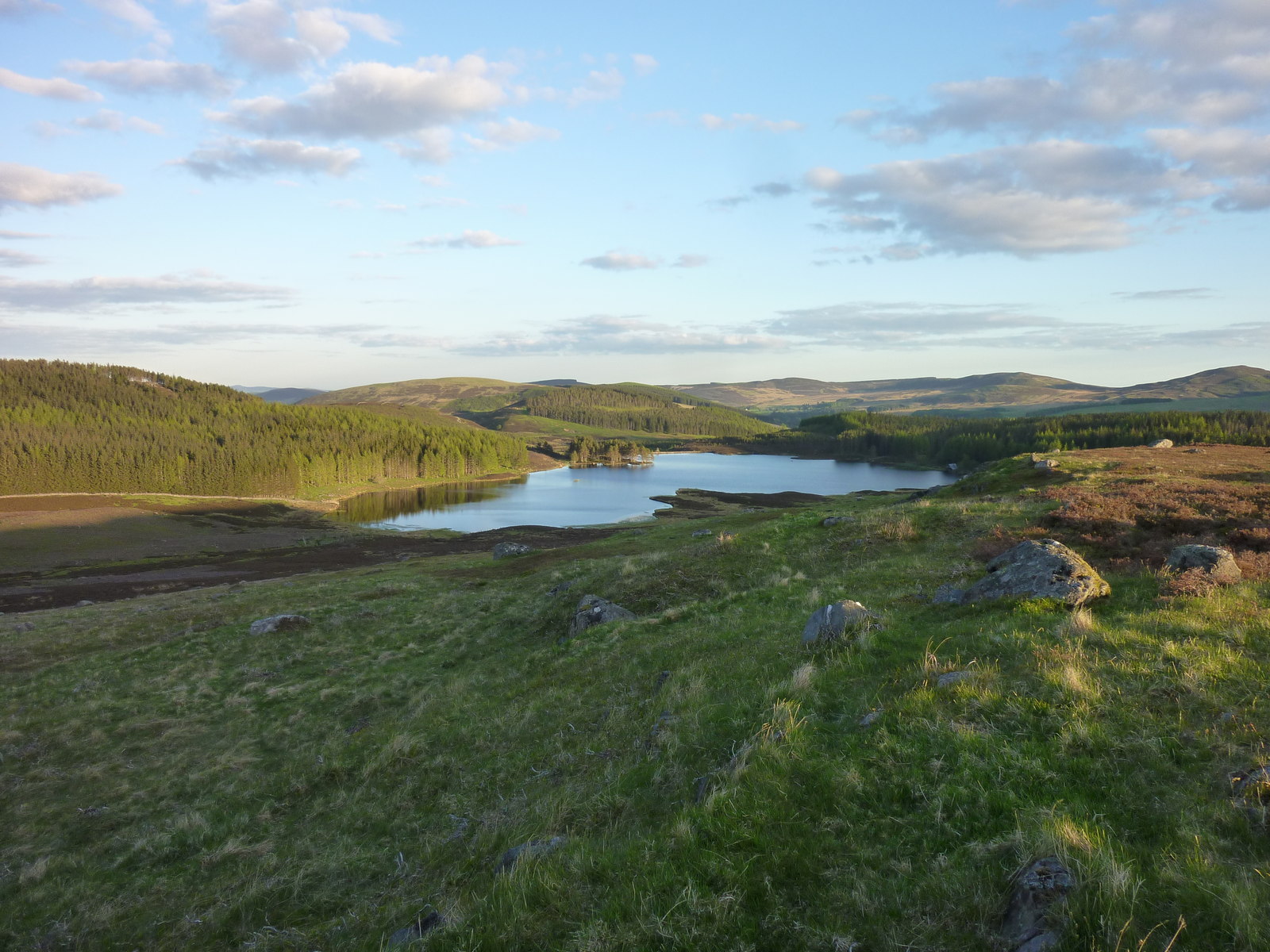
Cairn Daunie is a prominent hill located in Angus, Scotland. It stands at an elevation of approximately 528 meters (1,732 feet) above sea level and is a popular destination for hikers and outdoor enthusiasts. The hill is part of the Grampian Mountains range and offers stunning panoramic views of the surrounding countryside.

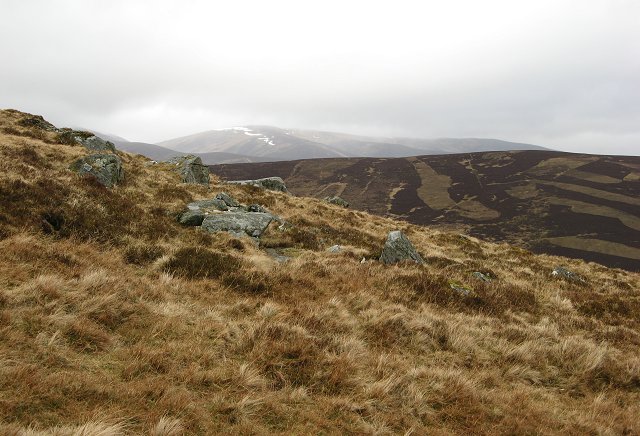
Cairn Daunie is characterized by its rocky terrain and heather-covered slopes, making it a challenging but rewarding climb for those looking to experience the rugged beauty of the Scottish Highlands. The hill is also home to a variety of wildlife, including red deer, grouse, and mountain hares, making it a popular spot for nature lovers.

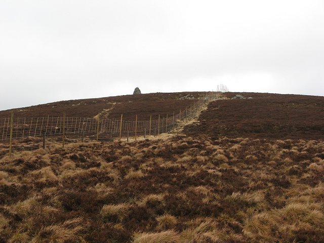
The summit of Cairn Daunie is marked by a cairn, a man-made pile of stones traditionally used as a marker or memorial. From the top, visitors can enjoy breathtaking views of the surrounding landscape, including nearby mountains, lochs, and rolling hills.

Overall, Cairn Daunie is a must-visit destination for those looking to explore the natural beauty of Scotland and experience the tranquility of the Scottish Highlands.

If you have any feedback on the listing, please let us know in the comments section below.
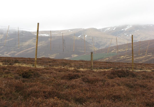
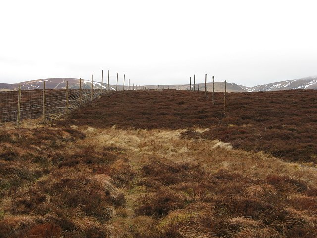
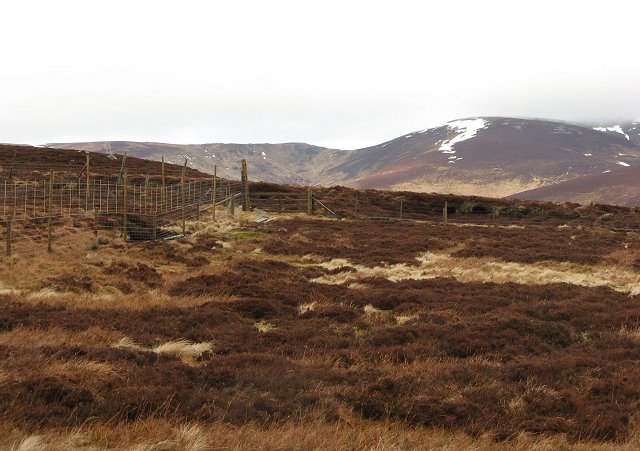
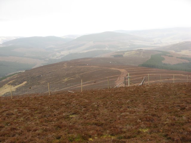
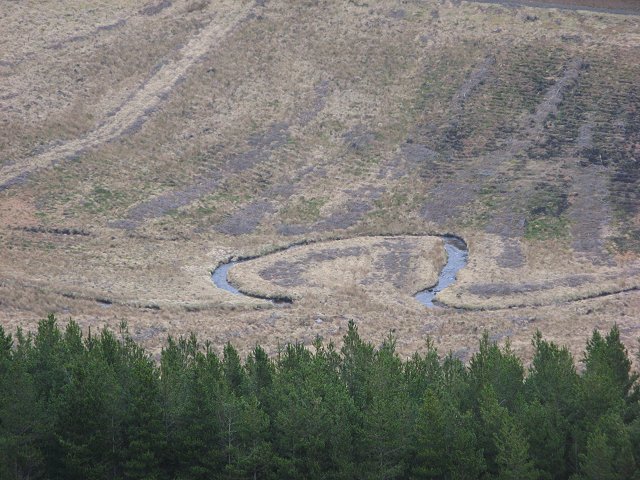
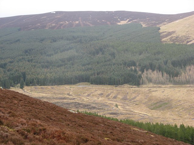
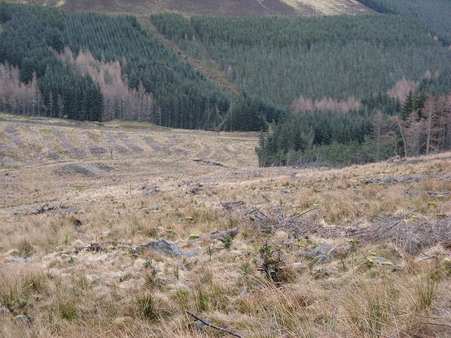
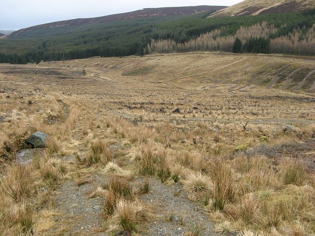
Cairn Daunie Images

Images are sourced within 2km of 56.79842/-3.2449737 or Grid Reference NO2468. Thanks to Geograph Open Source API. All images are credited.

Mid Rig Gentle moorland ridge running south from Craigie Thieves. Used as grouse moor and for grazing sheep. Some of the western part of the square is forested.
Mid Rig
Gentle moorland ridge running south from Craigie Thieves. Used as grouse moor and for grazing sheep. Some of the western part of the square is forested.
Mid Rig Gentle moorland ridge running south from Craigie Thieves. Used as grouse moor and for grazing sheep. Some of the western part of the square is forested.

Looking down the ridge towards Hare Cairn and Blackwater Reservoir.
Mid Rig
Gentle moorland ridge running south from Craigie Thieves. Used as grouse moor and for grazing sheep. Some of the western part of the square is forested. Looking down the ridge towards Hare Cairn and Blackwater Reservoir.
Stones, Cairn Daunie A rocky part of the Mid Rig ridge running south from Craig Daunie. Grouse moor with some sheep grazing as well.
Stones, Cairn Daunie
A rocky part of the Mid Rig ridge running south from Craig Daunie. Grouse moor with some sheep grazing as well.
Cairn Daunie Looking up the south ridge
Cairn Daunie
Looking up the south ridge
Head of Glen Damff Top of the glen, a moorland bowl beneath Craigie Thieves.
Head of Glen Damff
Top of the glen, a moorland bowl beneath Craigie Thieves.
Cairn Daunie The summit, more an end to a steeper section of ridge. 631m.
Cairn Daunie
The summit, more an end to a steeper section of ridge. 631m.
Bada na Goibhre The annoying purple line on the map shows the course of an even more annoying fence. Recently erected to replace an old worn down fence, it has hardly any crossing places. Especially irritating is where it passes the site of gates in the old fence. The weather tends to damage fences this high, so the problem will not be around too long.  The fence surrounds the forest in Glen Taitney and Glen Finlet. 
There is a prominent pyramidal cairn here too, marked on the 1:50 000 map.
Bada na Goibhre
The annoying purple line on the map shows the course of an even more annoying fence. Recently erected to replace an old worn down fence, it has hardly any crossing places. Especially irritating is where it passes the site of gates in the old fence. The weather tends to damage fences this high, so the problem will not be around too long. The fence surrounds the forest in Glen Taitney and Glen Finlet. There is a prominent pyramidal cairn here too, marked on the 1:50 000 map.
Cairn Daunie View across a boggy flat topped ridge to Cairn Daunie.
Cairn Daunie
View across a boggy flat topped ridge to Cairn Daunie.
Deer fence, Bada na Goibhre Fence supposedly keeping deer out of the forest in Glen Finlet. I saw many more deer in the forest than on the hill. The fence has bamboo canes in it to make it visible to grouse, but I saw several dead grouse by it.  
The fence has no crossing points for miles, and is an obstacle to descent from the hill.
Deer fence, Bada na Goibhre
Fence supposedly keeping deer out of the forest in Glen Finlet. I saw many more deer in the forest than on the hill. The fence has bamboo canes in it to make it visible to grouse, but I saw several dead grouse by it. The fence has no crossing points for miles, and is an obstacle to descent from the hill.
Bada na Goibhre High moorland looking north along the fence towards Craigie Thieves.
Bada na Goibhre
High moorland looking north along the fence towards Craigie Thieves.
Craigie Thieves Two fences, a new one and an old rotten one run along the ridge above Glen Prosen. The ridge has a new administrative role now as the boundary of the Cairngorm National Park.
Craigie Thieves
Two fences, a new one and an old rotten one run along the ridge above Glen Prosen. The ridge has a new administrative role now as the boundary of the Cairngorm National Park.
Craigie Thieves Fence junction on Craigie Thieves. Distant view towards the southern slope of Driesh across Glen Prosen.
Craigie Thieves
Fence junction on Craigie Thieves. Distant view towards the southern slope of Driesh across Glen Prosen.
Forestry Fence, Bodnasparet Fence surrounding the forest in Glen Finlet. It replaces an older fence. You can see the gate in the old fence. The new fence crosses a ridge, a natural ascent and descent route but no crossing place is provided. 
Meanwhile beyond the fence is a forest full of deer.
Forestry Fence, Bodnasparet
Fence surrounding the forest in Glen Finlet. It replaces an older fence. You can see the gate in the old fence. The new fence crosses a ridge, a natural ascent and descent route but no crossing place is provided. Meanwhile beyond the fence is a forest full of deer.
Glen Finlet The meander in the Finlet Burn is on the grid line.  Now revealed by clear felling.
Glen Finlet
The meander in the Finlet Burn is on the grid line. Now revealed by clear felling.
Glen Finlet Forest beneath Craigie Thieves.
Glen Finlet
Forest beneath Craigie Thieves.
Glen Finlet A cleared and recently replanted area in Glen Finlet.
Glen Finlet
A cleared and recently replanted area in Glen Finlet.
Glen Finlet Looking up the glen. The new sitka plantings here will not cause problems getting to and from the hill. The Forestry Commission has taken advantage of the felling of the previous generation to build new well drained paths.
Glen Finlet
Looking up the glen. The new sitka plantings here will not cause problems getting to and from the hill. The Forestry Commission has taken advantage of the felling of the previous generation to build new well drained paths.
Forest edge, Glen Finlet Edge of the planted area, with a large felled and replanted block. Above the trees is moorland with deep heather. There is no muir burn here.
Forest edge, Glen Finlet
Edge of the planted area, with a large felled and replanted block. Above the trees is moorland with deep heather. There is no muir burn here.
Show me another place!

Cairn Daunie is located at Grid Ref: NO2468 (Lat: 56.79842, Lng: -3.2449737)

Unitary Authority: Angus

Police Authority: Tayside

What 3 Words

///packing.makeovers.join. Near Alyth, Perth & Kinross

Nearby Locations

Cairn Daunie

Related Wikis

Auchintaple Loch

Auchintaple Loch also known as Auchenchapel Loch, is a small shallow freshwater loch that is located in Glen Isla in Angus, Scotland. == See also == List...

Mayar (mountain)

Mayar is a mountain in the Grampians, in Angus, Scotland. It is usually climbed together with its near neighbour, Driesh. At an elevation of 928 m, it...

Driesh

Driesh (Gaelic: Dris) is a mountain located in the Grampians of Scotland. Apart from Mount Keen (939 m/3,080 ft), it is the most easterly of the Munro...

Little Forter

Little Forter is a hamlet in Glen Isla, Angus, Scotland. It is on the River Isla, 13 miles (21 kilometres) north-west of Kirriemuir and 11 miles (18 kilometres...

Nearby Amenities

Located within 500m of 56.79842,-3.2449737
Cairn Daunie
Ele: 629
Natural: peak
Lat/Long: 56.7980453/-3.2445492
The data included in this document is from www.openstreetmap.org. The data is made available under ODbL.

Have you been to Cairn Daunie?

Leave your review of Cairn Daunie below (or comments, questions and feedback).