Gyran

Hill, Mountain in Orkney

Scotland

Gyran

Short-eared owl on the prowl Meadow grasses hide a feast
Short-eared owl on the prowl Credit: Alan Reid

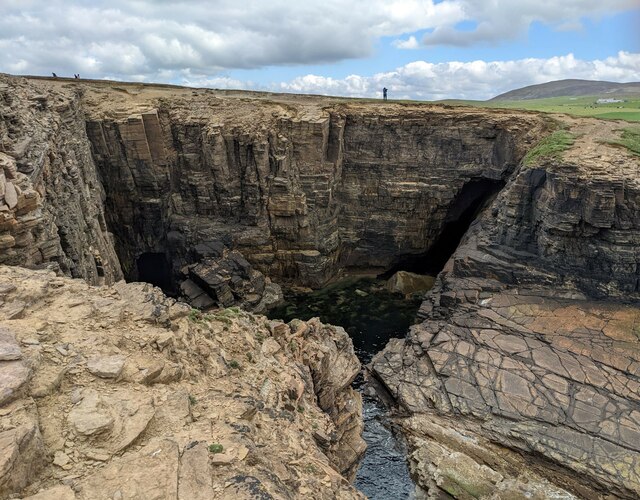
Gyran, Orkney, is a prominent hill located on the island of Rousay, one of the Orkney Islands in Scotland. Rising to a height of approximately 237 meters (778 feet), Gyran is one of the highest points on the island, offering breathtaking panoramic views of the surrounding landscapes and seascapes.

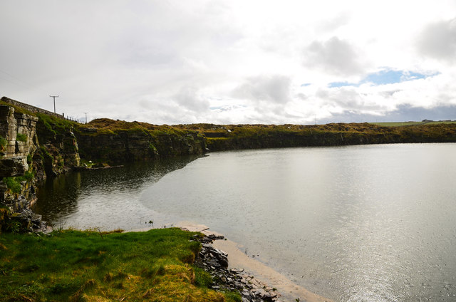
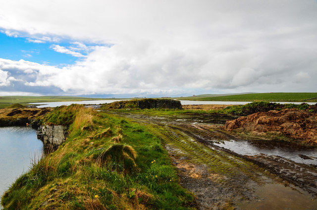
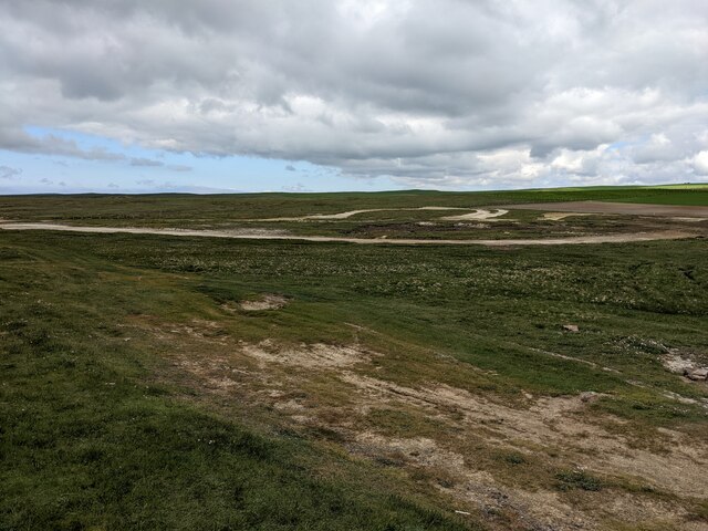
The hill is characterized by its gentle slopes, covered in grass and heather, which create a picturesque scenery. Its summit provides an ideal vantage point for visitors to admire the rugged coastline, neighboring islands, and the vast expanse of the North Atlantic Ocean. On a clear day, the view extends as far as the Orkney Mainland and even the distant Hoy Hills.

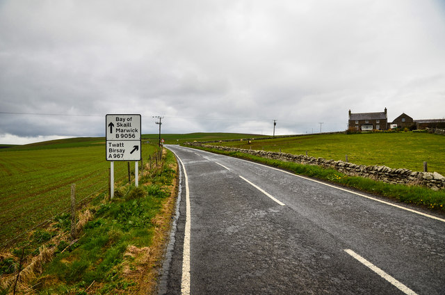
Gyran is a popular destination for hikers and nature enthusiasts, who can access the hill via a well-marked trail that starts from the village of Sourin. The hike to the summit is relatively moderate, making it suitable for people of all fitness levels. Along the way, walkers may encounter various wildlife species, including seabirds, rabbits, and perhaps even seals or dolphins in the surrounding waters.

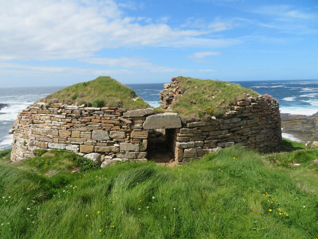
The hill also holds historical significance, with evidence of Neolithic settlements and burial sites in the area. Archaeological excavations have revealed artifacts such as pottery shards and stone tools, providing insights into the ancient communities that once inhabited the island.

Overall, Gyran, Orkney, offers a captivating outdoor experience, combining natural beauty, historical significance, and a sense of tranquility that makes it a must-visit destination for those exploring the Orkney Islands.

If you have any feedback on the listing, please let us know in the comments section below.

Gyran Images

Images are sourced within 2km of 59.021794/-3.3243642 or Grid Reference HY2415. Thanks to Geograph Open Source API. All images are credited.

Short-eared owl on the prowl Meadow grasses hide a feast
Short-eared owl on the prowl
Meadow grasses hide a feast
Voy: postbox № KW16 10 A small postbox emptied at 11 o'clock each weekday and Saturday morning. The western end of the Loch of Stenness is in the distance.
Voy: postbox № KW16 10
A small postbox emptied at 11 o'clock each weekday and Saturday morning. The western end of the Loch of Stenness is in the distance.
Primula scotica Primula scotica (Scottish primrose) is found only in Caithness, Sutherland and Orkney.
Primula scotica
Primula scotica (Scottish primrose) is found only in Caithness, Sutherland and Orkney.
Right Twatt Junction of the A967 to Twatt and Birsay which is to the right, and the B9056 ahead to the Bay of Skaill and Marwick which also leads to Scara Brae. There are of course Two Twatts in the north, the other being in Shetland.
Right Twatt
Junction of the A967 to Twatt and Birsay which is to the right, and the B9056 ahead to the Bay of Skaill and Marwick which also leads to Scara Brae. There are of course Two Twatts in the north, the other being in Shetland.
Vinbreck By the A967 with a view towards the Loch of Stenness.
Vinbreck
By the A967 with a view towards the Loch of Stenness.
A967 to Twatt Taken by Vinbreck looking north east.
A967 to Twatt
Taken by Vinbreck looking north east.
Anvil Cottage View along the A967 by the cottage as the heavens open and spots of rain attack my lens which a vengeance.
Anvil Cottage
View along the A967 by the cottage as the heavens open and spots of rain attack my lens which a vengeance.
Disused Quarry by the Loch of Clumly By the A967 now infilled with water.
Disused Quarry by the Loch of Clumly
By the A967 now infilled with water.
Disused Quarry By the A967 with a view across to the Loch of Clumly on the horizon.
Disused Quarry
By the A967 with a view across to the Loch of Clumly on the horizon.
Quarry and Loch Disused quarry to the left and the Loch of Clumly right both next to the A967.
Quarry and Loch
Disused quarry to the left and the Loch of Clumly right both next to the A967.
Red Water Pump At the side of the Loch of Clumly, didn't test it to see if it still worked.
Red Water Pump
At the side of the Loch of Clumly, didn't test it to see if it still worked.
Loch Clumly By the A967 looking north west.
Loch Clumly
By the A967 looking north west.
Gyran Summit Accessed by track coming up from east opposite Clumly, barbed wire and cattle to beware of.
Name: Gyran
Hill number: 12225
Height :77m / 253ft
Parent (Ma/M): 1555  Milldoe - Mid Tooin
Area:23: Orkney Islands
Class: 0
Grid ref: HY240157 (est)
Drop: 55m
Col: 22m  HY230158
Gyran Summit
Accessed by track coming up from east opposite Clumly, barbed wire and cattle to beware of. Name: Gyran Hill number: 12225 Height :77m / 253ft Parent (Ma/M): 1555 Milldoe - Mid Tooin Area:23: Orkney Islands Class: 0 Grid ref: HY240157 (est) Drop: 55m Col: 22m HY230158
Broch of Borwick Looking across the Noust of Borwick to the remains of this iron age broch, much of which has gone over the cliff and into the sea over the last 2000 years or so.
Broch of Borwick
Looking across the Noust of Borwick to the remains of this iron age broch, much of which has gone over the cliff and into the sea over the last 2000 years or so.
Broch of Borwick Situated on a small exposed headland, this would never have been a very large broch due to the restrictions of the site. Much of the far side of the structure has now fallen into the sea due to cliff erosion.
Broch of Borwick
Situated on a small exposed headland, this would never have been a very large broch due to the restrictions of the site. Much of the far side of the structure has now fallen into the sea due to cliff erosion.
A complex inlet in the Noust of Biggin
The motocross track
The motocross track
The lane to South Seatter farm The farm in the photo is Borwick. South Seatter is out of shot to the right.
The lane to South Seatter farm
The farm in the photo is Borwick. South Seatter is out of shot to the right.
Show me another place!

Gyran is located at Grid Ref: HY2415 (Lat: 59.021794, Lng: -3.3243642)

Unitary Authority: Orkney Islands

Police Authority: Highlands and Islands

What 3 Words

///reckoned.bland.friction. Near Sandwick, Orkney Islands

Nearby Locations

Gyran

Related Wikis

Yesnaby

Yesnaby is an area in Sandwick, on the west coast of Orkney Mainland, Scotland, south of Skara Brae. It is renowned for its spectacular Old Red Sandstone...

Voy

Voy is a settlement in the Orkney Islands of the north of Scotland. Voy is within the parish of Sandwick. The settlement is 3 miles (5 kilometres) north...

Broch of Borwick

The Broch of Borwick is an Iron Age broch located on Mainland, Orkney, Scotland (grid reference HY22411678). It is a scheduled monument. == Location... ==

Loch of Skaill

The Loch of Skaill is a small somewhat triangular, freshwater loch in the parish of Sandwick, Orkney on Mainland Orkney, Scotland. It lies 0.5 mi (0.80...
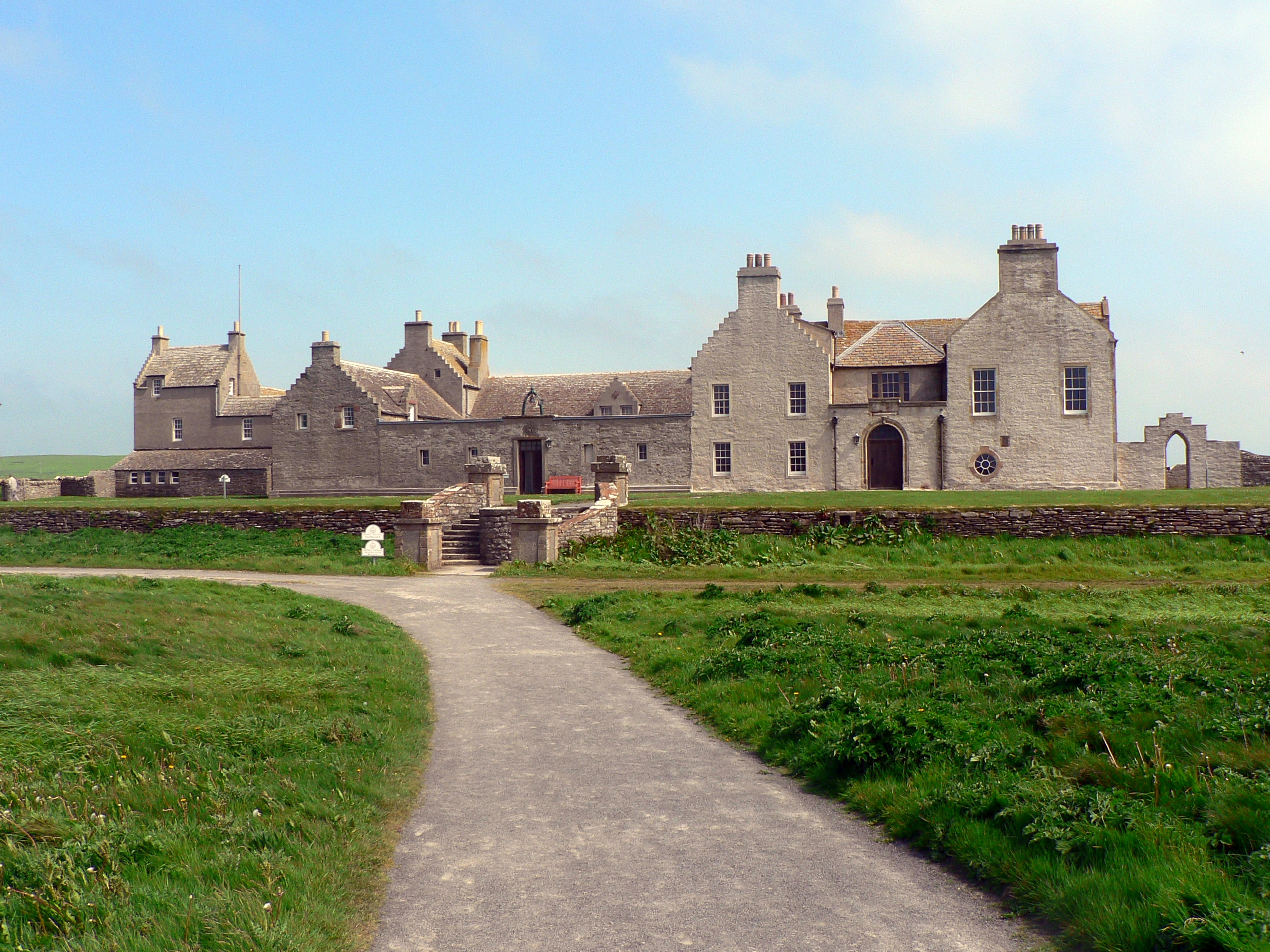
Skaill House

Skaill House is a historic manor house in Sandwick parish on Mainland, the largest of the Orkney Islands, Scotland. The house overlooks the neolithic site...

Skara Brae

Skara Brae is a stone-built Neolithic settlement, located on the Bay of Skaill on the west coast of Mainland, the largest island in the Orkney archipelago...

North Gaulton Castle

North Gaulton Castle is a sea stack off the western coast off the Orkney main island. It is formed from the red sandstone of the area and is about 165...

Bay of Skaill

The Bay of Skaill (from Old Norse Bugr Skála) is a small bay on the west coast of the Orkney Mainland, Scotland. == Visitor attractions == Bay of Skaill...

Nearby Amenities

Located within 500m of 59.021794,-3.3243642
Gyran
Corbett: no
Ele: 77
Graham: no
Marilyn: no
Munro: no
Natural: peak
Lat/Long: 59.0217818/-3.3242206
Power: pole
Lat/Long: 59.0250482/-3.3297414
Power: pole
Lat/Long: 59.0249155/-3.3284074
Power: pole
Lat/Long: 59.0247803/-3.3270644
Power: pole
Lat/Long: 59.0246483/-3.3257243
Power: pole
Lat/Long: 59.0245228/-3.3243909
Power: pole
Lat/Long: 59.0243895/-3.3230554
Power: pole
Lat/Long: 59.0242573/-3.3217523
Power: pole
Lat/Long: 59.0241302/-3.320433
Power: pole
Lat/Long: 59.0239959/-3.3190955
Power: pole
Lat/Long: 59.0238657/-3.3177883
The data included in this document is from www.openstreetmap.org. The data is made available under ODbL.

Have you been to Gyran?

Leave your review of Gyran below (or comments, questions and feedback).