Drycleuch Rig
Hill, Mountain in Selkirkshire
Scotland
Drycleuch Rig

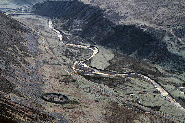
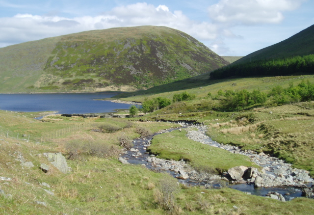
Drycleuch Rig is a prominent hill located in Selkirkshire, Scotland. Situated within the Southern Uplands, it forms part of the expansive Moorfoot Hills range. Rising to an elevation of 526 meters (1,726 feet), Drycleuch Rig offers panoramic views of the surrounding countryside.
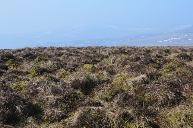
The hill is primarily composed of sedimentary rock, mainly greywacke and shale, which contributes to its rugged and distinctive appearance. Its slopes are covered in a mix of heather, grasses, and patches of bracken. The hill's summit is marked by a trig point, providing a reference point for surveying and mapping purposes.
Drycleuch Rig is a popular destination for outdoor enthusiasts, offering a range of recreational activities. Hiking and hillwalking are particularly popular, with several routes leading to the summit. These trails vary in difficulty, catering to both experienced climbers and casual walkers. The ascent is often steep, requiring a moderate level of fitness and appropriate footwear.
From the top, visitors are rewarded with breathtaking views across the rolling hills and valleys of the Scottish Borders. On clear days, it is possible to see as far as the Pentland Hills to the north and the Cheviot Hills to the south. The hill also provides a habitat for a variety of wildlife, including red grouse, mountain hares, and birds of prey such as buzzards and kestrels.
Overall, Drycleuch Rig offers a rewarding outdoor experience, combining challenging climbs with stunning vistas of the Selkirkshire countryside.
If you have any feedback on the listing, please let us know in the comments section below.
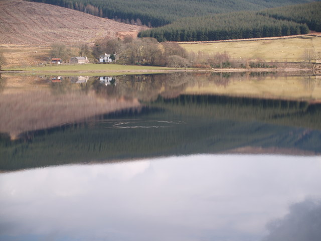
Drycleuch Rig Images
Images are sourced within 2km of 55.514916/-3.2041483 or Grid Reference NT2425. Thanks to Geograph Open Source API. All images are credited.


Drycleuch Rig is located at Grid Ref: NT2425 (Lat: 55.514916, Lng: -3.2041483)
Unitary Authority: The Scottish Borders
Police Authority: The Lothians and Scottish Borders
What 3 Words
///trendy.boils.fatter. Near Ettrick, Scottish Borders
Nearby Locations
Related Wikis

Cappercleuch
Cappercleuch is a settlement on the A708, at St. Mary's Loch in the Scottish Borders area of Scotland, in the historic county of Selkirkshire. Places nearby...

St Mary's Loch
St Mary's Loch is the largest natural loch in the Scottish Borders, and is situated on the south side of the A708 road between Selkirk and Moffat, about...
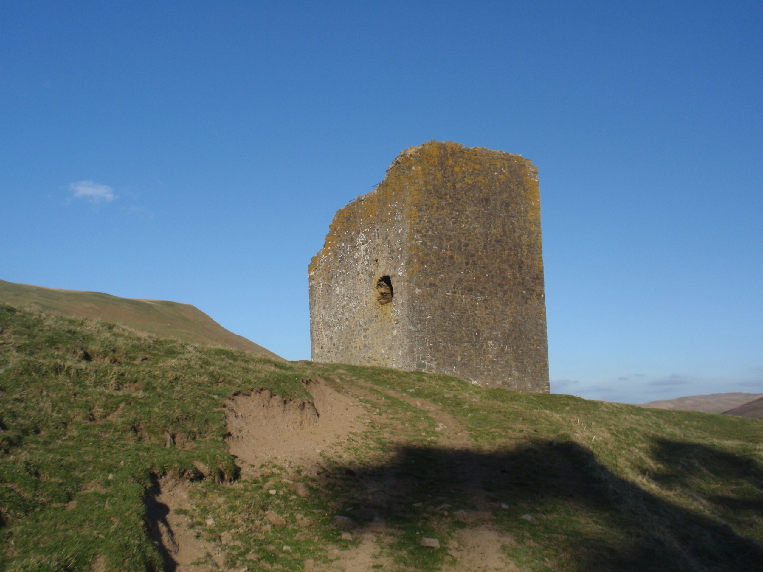
Dryhope Tower
Dryhope Tower is a ruined Scottish peel tower in the valley of the Yarrow Water, in the historic county of Selkirkshire, now part of the Scottish Borders...

Dryhope
Dryhope is a village in the Scottish Borders area of Scotland, by St. Mary's Loch, on the A708. Known for its rolling green hills and ample walking paths...
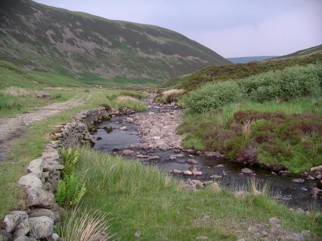
Megget Water
Megget Water is a river in the parish of Yarrow, Selkirkshire in the Scottish Borders area of Scotland. The Water rises at Broad Law (2,760 ft), passes...

Black Law (hill)
Black Law is a hill in the Manor Hills range, part of the Southern Uplands of Scotland. One of the more remote Donalds, it does not easily combine into...

Craigierig
Craigierig is a village on the Megget Reservoir, in the Scottish Borders area of Scotland, in the former Selkirkshire. Places nearby include the Glengaber...
Bowerhope
Bowerhope is a village off the A708, in the Scottish Borders area of Scotland, on the banks of St Mary's Loch in Ettrick Forest. == See also == List of...
Have you been to Drycleuch Rig?
Leave your review of Drycleuch Rig below (or comments, questions and feedback).