Hudswell

Settlement in Wiltshire

England

Hudswell

Corsham High Street Peahens out for a Sunday stroll through Corsham High Street.
Corsham High Street Credit: Rebecca A Wills

Hudswell is a small village located in the county of Wiltshire, England. Situated approximately 8 miles east of the city of Bath, the village is nestled in a picturesque rural setting. With a population of around 300 residents, Hudswell exudes a charming and tranquil atmosphere.

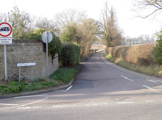
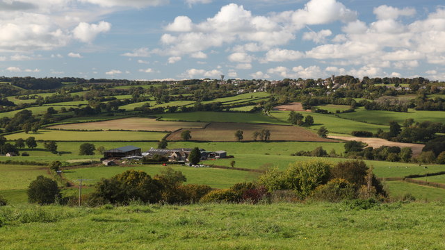
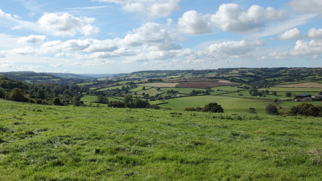
The village is known for its stunning natural beauty, with rolling hills, lush green fields, and winding country lanes. Surrounded by idyllic countryside, Hudswell offers a peaceful retreat away from the hustle and bustle of city life.

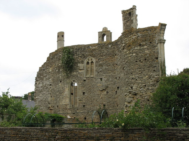
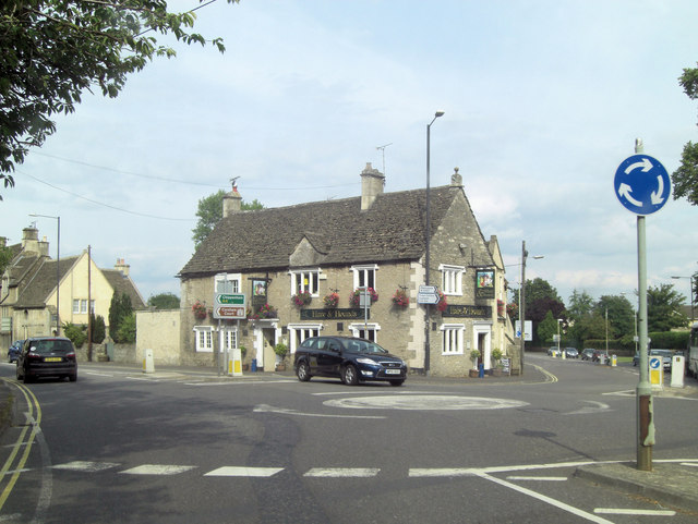
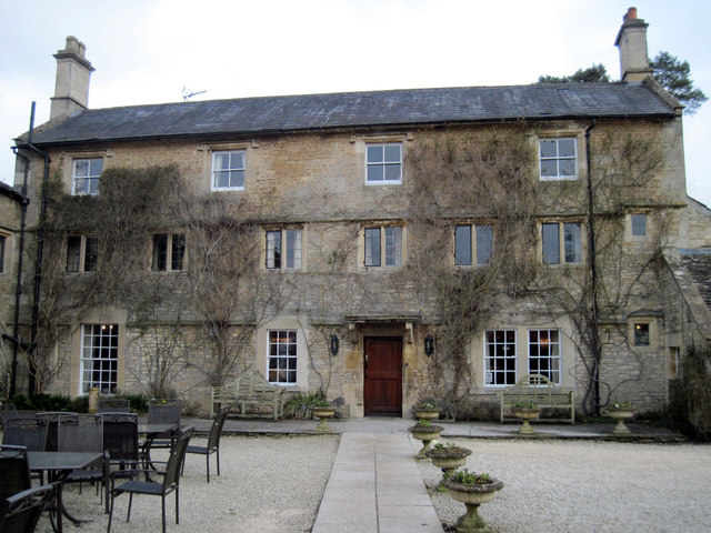
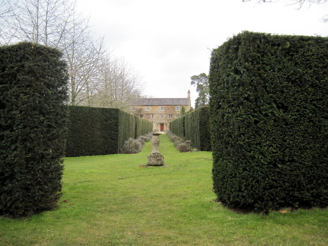
The heart of the village is adorned with traditional stone-built cottages, giving it a quintessentially English feel. The village also boasts a quaint parish church, St. George's, which dates back to the 12th century. This architectural gem adds a sense of history and character to the village.

Hudswell is home to a close-knit community that values its rural heritage. Residents often engage in community activities, such as village fairs and social gatherings, fostering a strong sense of camaraderie among the villagers.

Despite its small size, Hudswell benefits from its proximity to larger towns and cities. Bath, with its rich history and cultural attractions, offers residents access to a wide range of amenities and services. Additionally, the village benefits from excellent transportation links, making it easily accessible for both residents and visitors.

In conclusion, Hudswell is a charming and picturesque village in Wiltshire, offering residents a peaceful and idyllic rural lifestyle while still providing access to nearby towns and cities.

If you have any feedback on the listing, please let us know in the comments section below.
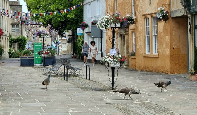
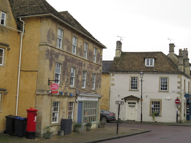
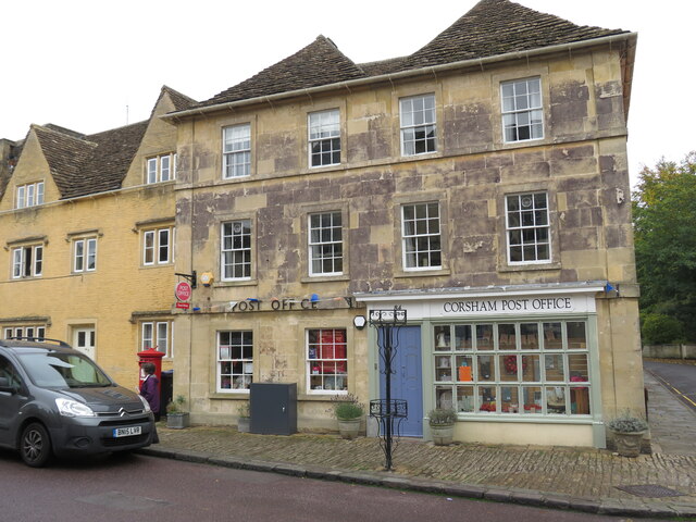
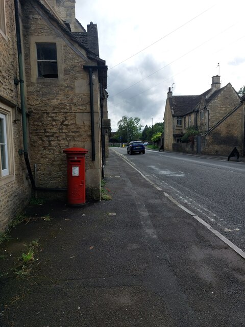
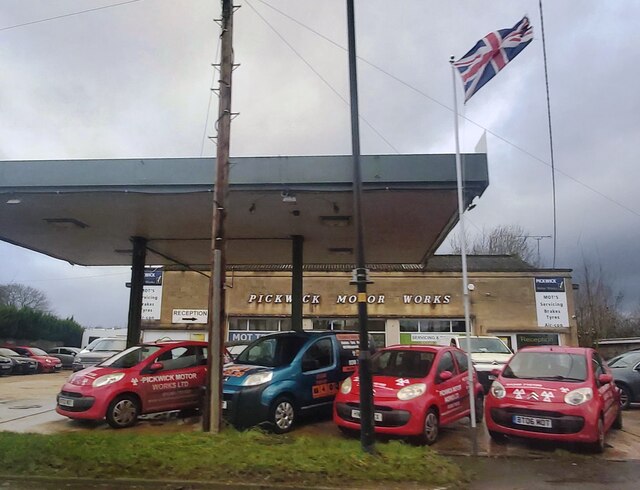
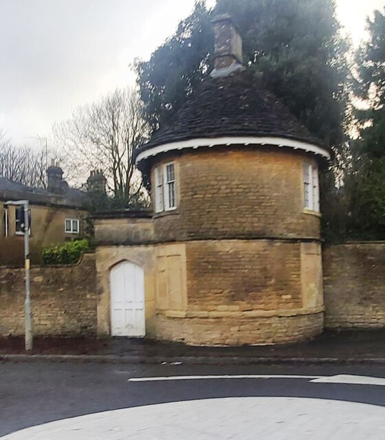
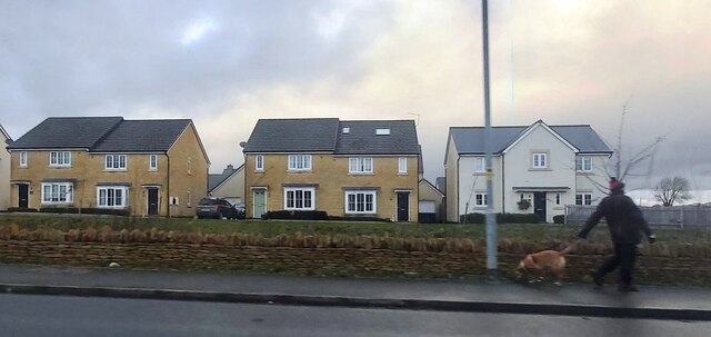
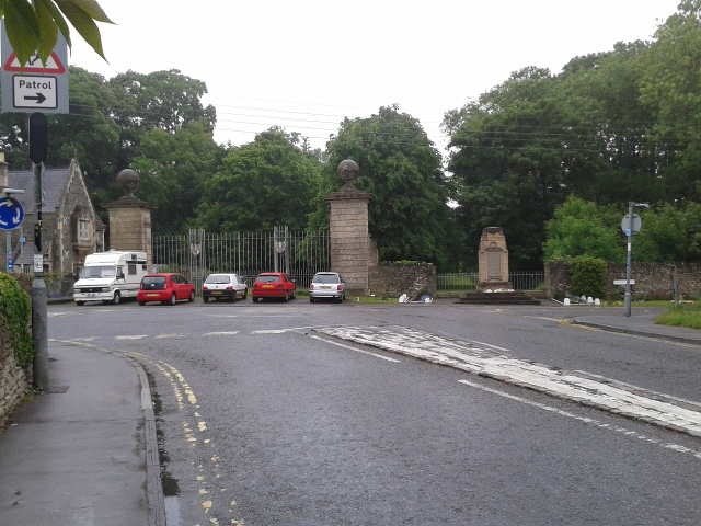
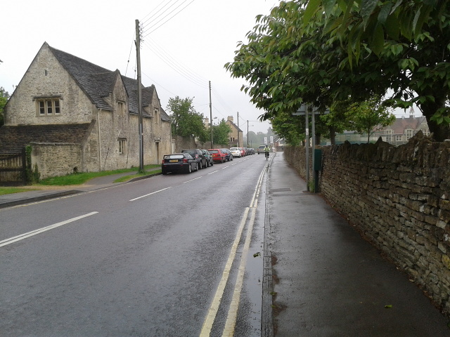
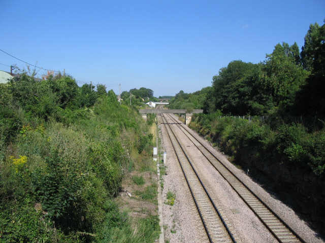
Hudswell Images

Images are sourced within 2km of 51.424903/-2.2078 or Grid Reference ST8569. Thanks to Geograph Open Source API. All images are credited.

Corsham High Street Peahens out for a Sunday stroll through Corsham High Street.
Corsham High Street
Peahens out for a Sunday stroll through Corsham High Street.
Corsham Post Office On the corner of High Street and Church Street.
Corsham Post Office
On the corner of High Street and Church Street.
Corsham Post Office In the centre of this attractive Cotswold village.
Corsham Post Office
In the centre of this attractive Cotswold village.
The A4 passes through Corsham The attractive little town of Corsham, at the edge of the Cotswolds, has received comparatively little attention on Geograph to date.  The A4 skirts through one side of it, flanked by houses in the warm-coloured local stone.  A more contemporary feature of the town is that it has embraced the mini-roundabout to a greater extent than others in the area (one of them can be seen at the junction in the distance).
The A4 passes through Corsham
The attractive little town of Corsham, at the edge of the Cotswolds, has received comparatively little attention on Geograph to date. The A4 skirts through one side of it, flanked by houses in the warm-coloured local stone. A more contemporary feature of the town is that it has embraced the mini-roundabout to a greater extent than others in the area (one of them can be seen at the junction in the distance).
Car Sales near Corsham
The Old Pickwick Toll House
New Housing near Corsham
Electricity Power Lines near Rudloe
Corsham Court sham screen This folly is believed to have been constructed to hide the house from either Church Street or nearby Ethelred House.
Corsham Court sham screen
This folly is believed to have been constructed to hide the house from either Church Street or nearby Ethelred House.
The Hare and Hounds, Corsham The Hare and Hounds was once the home of Moses Pickwick who gave his name to this area of the town and also ran horse-drawn carriages from Bath to London. It is recorded that Charles Dickens visited the pub and borrowed Mr Pickwick's surname for the title of his famous book.
The Hare and Hounds, Corsham
The Hare and Hounds was once the home of Moses Pickwick who gave his name to this area of the town and also ran horse-drawn carriages from Bath to London. It is recorded that Charles Dickens visited the pub and borrowed Mr Pickwick's surname for the title of his famous book.
Gas station, Pickwick Powered by electricity?
Gas station, Pickwick
Powered by electricity?
Hartham Lane Heading northwest from the A4, Bath Road in Pickwick.
Hartham Lane
Heading northwest from the A4, Bath Road in Pickwick.
View Towards Colerne Folly Farm is in the mid-distance with Colerne on the top of the hill.  The tower of the Parish Church of St John the Baptist is visible towards the eastern (right) side of Colerne.  The Water Tower at Colerne Airfield can be seen on the horizon in the centre of the image.
View Towards Colerne
Folly Farm is in the mid-distance with Colerne on the top of the hill. The tower of the Parish Church of St John the Baptist is visible towards the eastern (right) side of Colerne. The Water Tower at Colerne Airfield can be seen on the horizon in the centre of the image.
View Southwest from Rudloe Batheaston lies in the valley to the left of the image in the mid-distance below the horizon.
View Southwest from Rudloe
Batheaston lies in the valley to the left of the image in the mid-distance below the horizon.
Guyers  House  Hotel  and  Restaurant This is the back of the building, but the main entrance, Reception is just through the door. Open fields all around a very good base for our few days visiting Wiltshire.
Guyers House Hotel and Restaurant
This is the back of the building, but the main entrance, Reception is just through the door. Open fields all around a very good base for our few days visiting Wiltshire.
From  the  bottom  of  the  Garden  Guyers  House The hotel has large grounds
From the bottom of the Garden Guyers House
The hotel has large grounds
War memorial on Lacock Road
The B3353 heading south from Lacock Road, Corsham
Show me another place!

Hudswell is located at Grid Ref: ST8569 (Lat: 51.424903, Lng: -2.2078)

Unitary Authority: Wiltshire

Police Authority: Wiltshire

What 3 Words

///goose.failed.comedy. Near Neston, Wiltshire

Nearby Locations

Corsham Hudswell Greenhill

Related Wikis

Corsham Computer Centre

The Corsham Computer Centre (CCC) is an underground British Ministry of Defence (MoD) installation in Corsham, Wiltshire, built in the 1980s. According...

Corsham Railway Cutting

Corsham Railway Cutting (grid reference ST862695) is a 6.6 hectare geological Site of Special Scientific Interest in Wiltshire, England, notified in 1971...

Corsham Limestone Formation

The Corsham Limestone Formation is a geological formation in England. It is part of the Great Oolite Group and was deposited in the Bathonian stage of...

MOD Corsham

MOD Corsham (formerly Basil Hill Barracks) is a Ministry of Defence establishment located between the towns of Corsham and Box in Wiltshire, England....

Nearby Amenities

Located within 500m of 51.424903,-2.2078
Crossing
Crossing: unmarked
Crossing Island: yes
Crossing Markings: no
Tactile Paving: yes
Lat/Long: 51.4286409/-2.2109151
Crossing
Crossing: uncontrolled
Crossing Markings: yes
Crossing Signals: no
Lat/Long: 51.4244392/-2.2129977
Colour: grey
Height: 107.3
Material: metal
Operator: National Grid
Operator Wikidata: Q1465461
Power: tower
Ref: XL183
Source: Bing
Start Date: 1959
Structure: lattice
Lat/Long: 51.4215407/-2.2069348
Colour: grey
Height: 108.07
Material: metal
Operator: National Grid
Operator Wikidata: Q1465461
Power: tower
Ref: XL182
Source: Bing
Start Date: 1959
Structure: lattice
Lat/Long: 51.4241909/-2.2113038
Crossing
Crossing: unmarked
Crossing Island: no
Crossing Markings: no
Kerb: lowered
Tactile Paving: yes
Lat/Long: 51.4277006/-2.2119415
Crossing
Crossing: unmarked
Crossing Island: no
Crossing Markings: no
Kerb: lowered
Tactile Paving: yes
Lat/Long: 51.4263429/-2.2136834
Barrier: stile
Lat/Long: 51.4209697/-2.2075248
Barrier: stile
Lat/Long: 51.422338/-2.2067178
Barrier: stile
Lat/Long: 51.4214667/-2.2072115
Barrier: bollard
Lat/Long: 51.426626/-2.2026903
Barrier: bollard
Lat/Long: 51.4266216/-2.2027777
Crossing
Crossing: unmarked
Crossing Island: yes
Crossing Markings: no
Tactile Paving: yes
Lat/Long: 51.4270555/-2.2128915
Man Made: chimney
Material: stone
Lat/Long: 51.4238026/-2.2117369
Crossing
Crossing: uncontrolled
Crossing Island: no
Crossing Markings: yes
Crossing Signals: no
Lat/Long: 51.4247682/-2.2118822
Location Transition: yes
Power: pole
Lat/Long: 51.4217208/-2.2062537
Power: pole
Lat/Long: 51.421403/-2.2056341
Building: bunker
Bunker Type: pillbox
Historic: yes
Location: overground
Military: bunker
Lat/Long: 51.4240327/-2.2048549
Railway: signal
Railway Signal Direction: forward
Railway Signal Main: GB-NR:main
Ref: D0 1865
Lat/Long: 51.4237525/-2.2044799
The data included in this document is from www.openstreetmap.org. The data is made available under ODbL.

Have you been to Hudswell?

Leave your review of Hudswell below (or comments, questions and feedback).