Hudswell
Settlement in Yorkshire Richmondshire
England
Hudswell

Hudswell is a picturesque village located in the Richmondshire district of North Yorkshire, England. Situated on the northern banks of the River Swale, it is nestled within the beautiful Yorkshire Dales National Park. With a population of around 150 residents, Hudswell offers a tranquil and close-knit community setting.
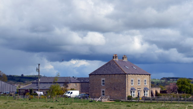
The village is known for its charming stone-built houses, many of which date back to the 18th and 19th centuries. The architecture reflects the area's rich history and traditional Yorkshire style. Hudswell is also home to a historic church, St. Michael and All Angels, which has stood proudly since the 12th century.
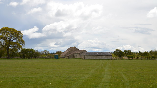
The surrounding countryside provides ample opportunities for outdoor enthusiasts. Hudswell is an ideal base for exploring the Yorkshire Dales, with numerous walking and cycling routes nearby. The nearby Swale Gorge offers spectacular views and is a popular spot for nature lovers and photographers.
Hudswell has a strong sense of community, as evidenced by the local pub, the George and Dragon. The pub serves as the heart of the village, offering a warm welcome to locals and visitors alike. It has gained recognition for being the first community-owned pub in the country, having been bought and successfully run by the community since 2010.
Overall, Hudswell offers a charming and idyllic English village experience, with its stunning natural surroundings, historic architecture, and tight-knit community spirit.
If you have any feedback on the listing, please let us know in the comments section below.
Hudswell Images
Images are sourced within 2km of 54.397955/-1.7862416 or Grid Reference NZ1300. Thanks to Geograph Open Source API. All images are credited.
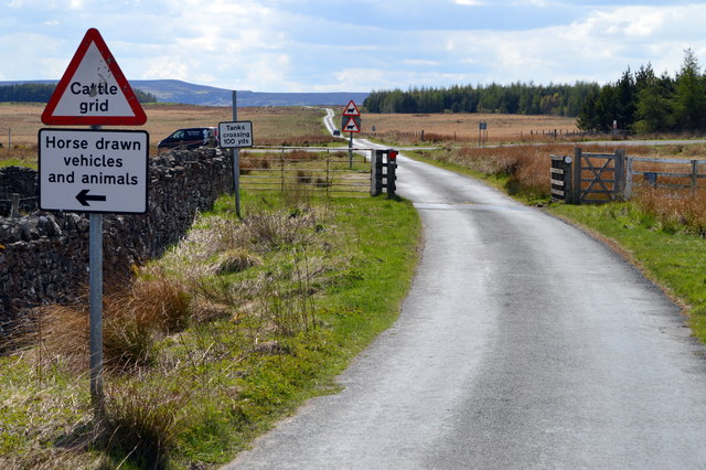

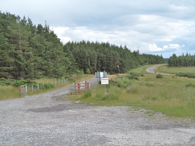
![Road across the moor This minor road sees little traffic these days, but at one time it was one of the main routes from Richmond into Swaledale, crossing the Swale at Richmond Bridge and passing through Hudswell before reaching this point on the way to Downholme and then via Stop Bridge Lane [now an unsurfaced byway] before dropping into the dale to join what is now the B6270. The current main route up the dale from Richmond is an early 19thC turnpike road.](https://s2.geograph.org.uk/geophotos/04/60/15/4601530_bfec6319.jpg)


Hudswell is located at Grid Ref: NZ1300 (Lat: 54.397955, Lng: -1.7862416)
Division: North Riding
Administrative County: North Yorkshire
District: Richmondshire
Police Authority: North Yorkshire
What 3 Words
///ranges.assurance.episodes. Near Richmond, North Yorkshire
Nearby Locations
Related Wikis

Hudswell, North Yorkshire
Hudswell is a village and civil parish on the border of the Yorkshire Dales, in North Yorkshire, England. The population at the ONS Census 2011 was 353...

Applegarth, North Yorkshire
Applegarth is a historic settlement located north of the River Swale in Yorkshire, England. It lies about three-quarters of a mile north-east of the village...

Scott Trial
The Scott Trial is a British motorcycle trials competition dating from 1914 run over an off-road course of approximately 70 miles. One of the most challenging...

St Joseph and St Francis Xavier Church
St Joseph and St Francis Xavier Church is a Roman Catholic Parish church in Richmond, North Yorkshire. It is situated between Newbiggin and Victoria Road...

Richmond Racecourse
Richmond Racecourse was a British horse racing track situated at Richmond, North Yorkshire at first High Moor, then Low Moor, from 1765 to 1776. It was...
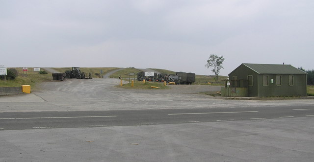
Hipswell Moor
Hipswell Moor is an area used for military training, near Catterick Garrison in North Yorkshire, England. It includes parts of the civil parishes of Barden...
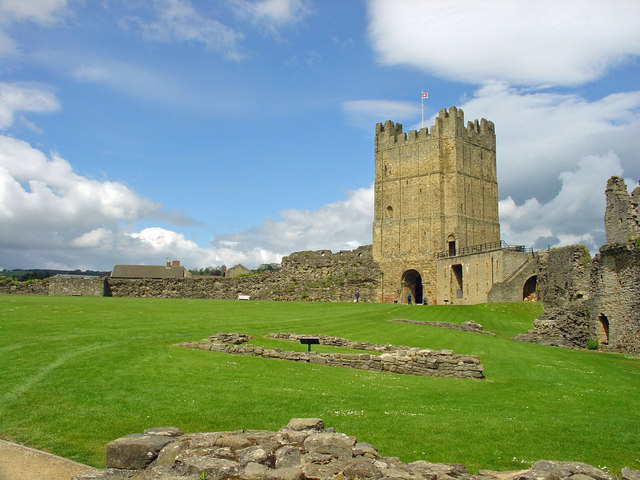
Richmond Castle
Richmond Castle in Richmond, North Yorkshire, England, stands in a commanding position above the River Swale, close to the centre of the town of Richmond...
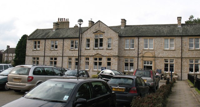
Friary Community Hospital
The Friary Community Hospital is a health facility in Queen's Road, Richmond, North Yorkshire, England. It is managed by South Tees Hospitals NHS Foundation...
Nearby Amenities
Located within 500m of 54.397955,-1.7862416Have you been to Hudswell?
Leave your review of Hudswell below (or comments, questions and feedback).