Hudnalls

Settlement in Gloucestershire Forest of Dean

England

Hudnalls

Picnic area in Bargain Wood, Llandogo This is the picnic area mentioned in <a href="https://www.geograph.org.uk/photo/494194">SO5202 : Whitestone amenity area</a> which in 2014 had a permanent BBQ. It is so "off-the-beaten-track" that one day in August, at the height of the holiday season, we were the only people there.
Picnic area in Bargain Wood, Llandogo Credit: Mike Dodman

Hudnalls is a small village located in the county of Gloucestershire, nestled in the picturesque Cotswolds region of England. Situated approximately 5 miles southwest of the charming market town of Cirencester, Hudnalls offers a tranquil and idyllic setting for residents and visitors alike.

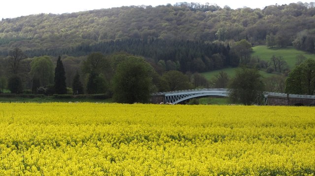
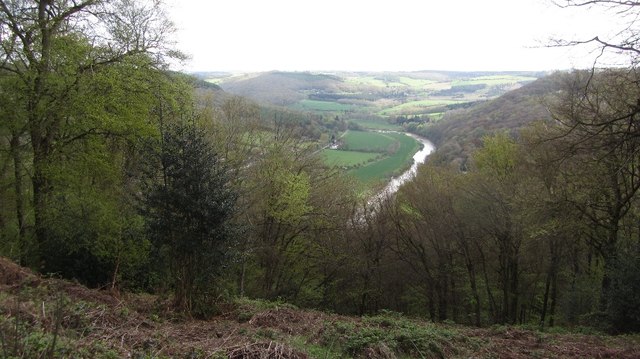
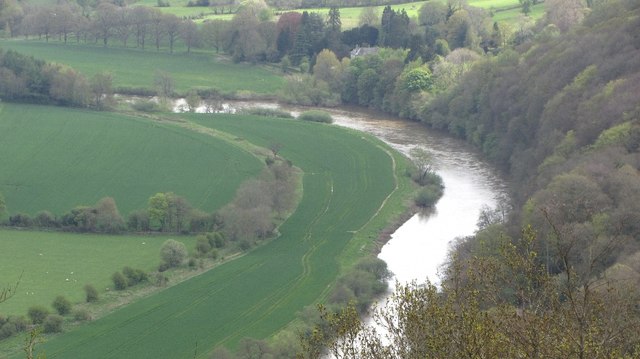
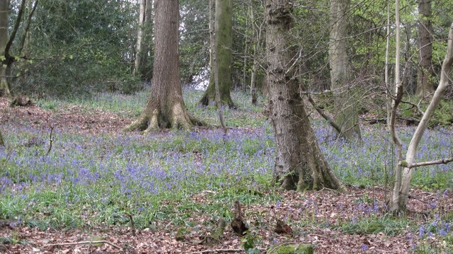
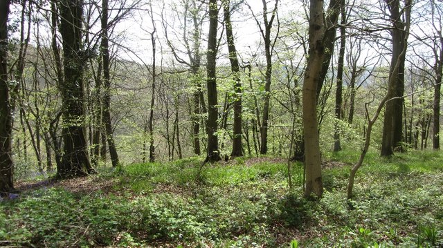
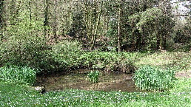
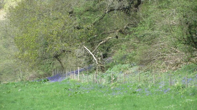
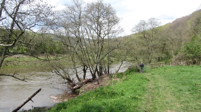
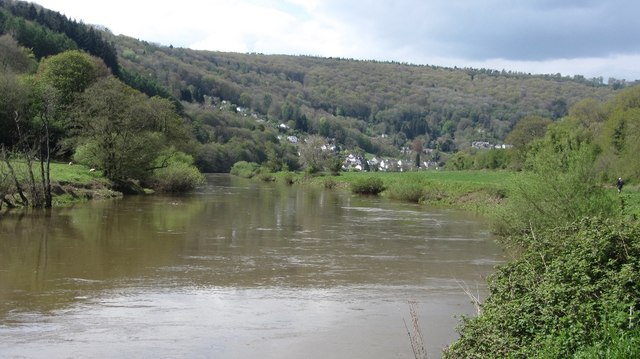
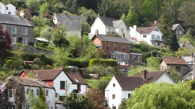
The village is known for its quintessential English countryside, with rolling hills, lush green fields, and meandering streams that create a peaceful atmosphere. The landscape surrounding Hudnalls is dotted with quaint cottages and historic buildings, showcasing the area's rich heritage.

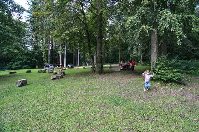
Hudnalls is home to a close-knit community, with a population of around 200 residents. The village boasts a range of amenities to cater to the needs of its inhabitants, including a local pub, a village hall, and a primary school. The village hall serves as a hub for community events and gatherings, fostering a strong sense of belonging among residents.

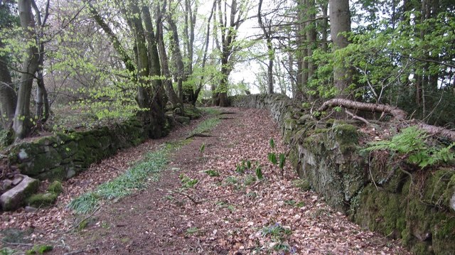
Nature enthusiasts will find plenty to explore in and around Hudnalls. The village is surrounded by an abundance of walking trails and nature reserves, offering opportunities for leisurely strolls or more adventurous hikes. Nearby attractions include the Cotswold Water Park, a popular destination for water sports and leisure activities.

Transport links to Hudnalls are limited, with access primarily available by road. The village is well-connected to nearby towns and cities, making it a convenient base for exploring the wider Gloucestershire area.

Overall, Hudnalls embodies the charm and tranquility of rural England, making it a desirable place to live or visit for those seeking a peaceful retreat amidst stunning natural beauty.

If you have any feedback on the listing, please let us know in the comments section below.
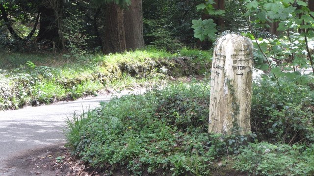
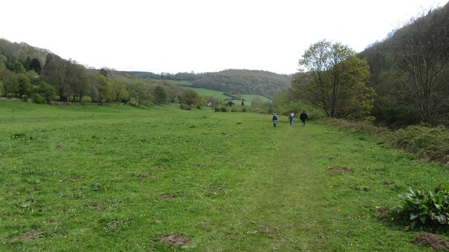
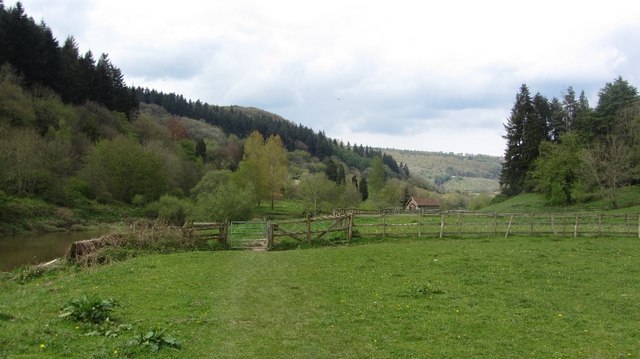
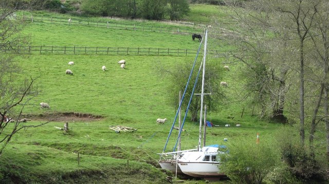
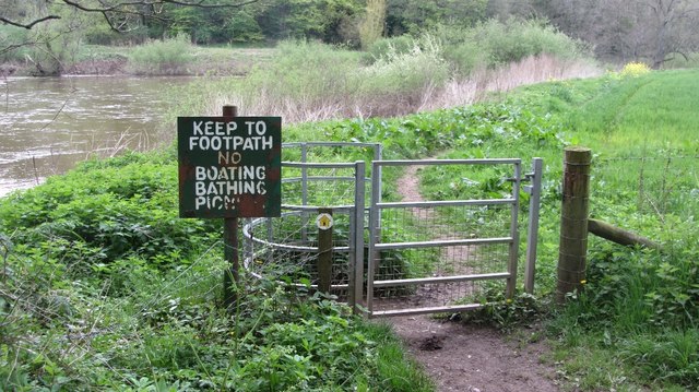
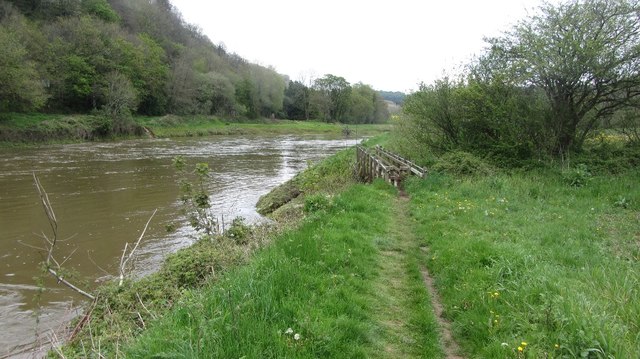
Hudnalls Images

Images are sourced within 2km of 51.728819/-2.666588 or Grid Reference SO5403. Thanks to Geograph Open Source API. All images are credited.

Picnic area in Bargain Wood, Llandogo This is the picnic area mentioned in <a href="https://www.geograph.org.uk/photo/494194">SO5202 : Whitestone amenity area</a> which in 2014 had a permanent BBQ. It is so "off-the-beaten-track" that one day in August, at the height of the holiday season, we were the only people there.
Picnic area in Bargain Wood, Llandogo
This is the picnic area mentioned in SO5202 : Whitestone amenity area which in 2014 had a permanent BBQ. It is so "off-the-beaten-track" that one day in August, at the height of the holiday season, we were the only people there.
Bigsweir Bridge View over oilseed rape on the west side of the Wye.
Bigsweir Bridge
View over oilseed rape on the west side of the Wye.
Old road, Cleddon The walls suggest that this was once a more important route than today's path.
Old road, Cleddon
The walls suggest that this was once a more important route than today's path.
A view down the Wye View from the plateau edge in Bargain Wood.
A view down the Wye
View from the plateau edge in Bargain Wood.
River Wye View down from Bargain Wood.
River Wye
View down from Bargain Wood.
Bluebells, Bargain Wood
Bargain Wood Near the steep slope down to the Wye.
Bargain Wood
Near the steep slope down to the Wye.
Pond, Bargain Wood Beside the car park.
Pond, Bargain Wood
Beside the car park.
Signpost, Bargain Wood
Riverside path, Brockweir Downstream view.
Riverside path, Brockweir
Downstream view.
Riverside path, Brockweir Upstream view on a busy path.
Riverside path, Brockweir
Upstream view on a busy path.
Fields above the Wye The boat is far up the tidal part of the river.
Fields above the Wye
The boat is far up the tidal part of the river.
Wyeside bluebells At the foot of a very steep wood.
Wyeside bluebells
At the foot of a very steep wood.
Path beside the Wye A riverside alternative route of the Offa's Dyke Path.
Path beside the Wye
A riverside alternative route of the Offa's Dyke Path.
River Wye Upstream of the Coed-ithel Weir.
River Wye
Upstream of the Coed-ithel Weir.
Llandogo View from over the river.
Llandogo
View from over the river.
No,no,no More everyday activities prohibited. Yet another of those horrid signs which litter the English countryside.

A reminder to us in Scotland that freedom requires eternal vigilance.
No,no,no
More everyday activities prohibited. Yet another of those horrid signs which litter the English countryside. A reminder to us in Scotland that freedom requires eternal vigilance.
River Wye below Bigsweir Bridge The footbridge crosses the Mork Brook.
River Wye below Bigsweir Bridge
The footbridge crosses the Mork Brook.
Show me another place!

Hudnalls is located at Grid Ref: SO5403 (Lat: 51.728819, Lng: -2.666588)

Administrative County: Gloucestershire

District: Forest of Dean

Police Authority: Gloucestershire

What 3 Words

///snares.bitter.hints. Near Tintern, Monmouthshire

Related Wikis

The Hudnalls

The Hudnalls (SO533030 & SO540042 & SO545046 ) is a 94.4-hectare (233-acre) biological Site of Special Scientific Interest in Gloucestershire, notified...

Sylvan House Barn

Sylvan House Barn (grid reference SO534023) is a 0.005-hectare (0.012-acre) stone built barn near the village of St Briavels, in the Forest of Dean, Gloucestershire...

Llandogo Halt railway station

Llandogo Halt was a request stop on the former Wye Valley Railway. It was opened on 9 March 1927 to serve the village of Llandogo. It was closed in 1959...

Llandogo

Llandogo is a small village in Monmouthshire, south Wales, between Monmouth and Chepstow in the lower reaches of the Wye Valley AONB, two miles north of...

Nearby Amenities

Located within 500m of 51.728819,-2.666588
Hudnalls
Is In: Gloucestershire, UK
Place: hamlet
Source: NPE
Lat/Long: 51.7270509/-2.6683944
Bus Stop
Hudnalls Loop Rd
Naptan AtcoCode: 1600GL4348
Naptan Bearing: NE
Naptan CommonName: Hudnalls Loop Rd
Naptan NaptanCode: gloadgam
Naptan Street: The Common
Naptan Verified: no
Source: naptan_import
Lat/Long: 51.728498/-2.6594241
Ford: yes
Lat/Long: 51.732469/-2.6627262
Ford: yes
Lat/Long: 51.73306/-2.6686184
The data included in this document is from www.openstreetmap.org. The data is made available under ODbL.

Have you been to Hudnalls?

Leave your review of Hudnalls below (or comments, questions and feedback).