Huggate

Settlement in Yorkshire

England

Huggate

Fields near Foxcovert Farm Looking across chalky fields near Shortlands Dale.
Fields near Foxcovert Farm Credit: DS Pugh

Huggate is a small village located in the East Riding of Yorkshire, England. It lies approximately 20 miles east of the city of York and is nestled in the Yorkshire Wolds, an area renowned for its rolling hills and picturesque countryside. With a population of around 250 people, Huggate is a close-knit community with a strong sense of rural charm.

The village is known for its historic buildings, with many dating back to the 18th and 19th centuries. The St. Mary's Church, a Grade II listed building, stands prominently in the heart of Huggate. It features a beautiful stained glass window and is a popular destination for visitors interested in architectural heritage.

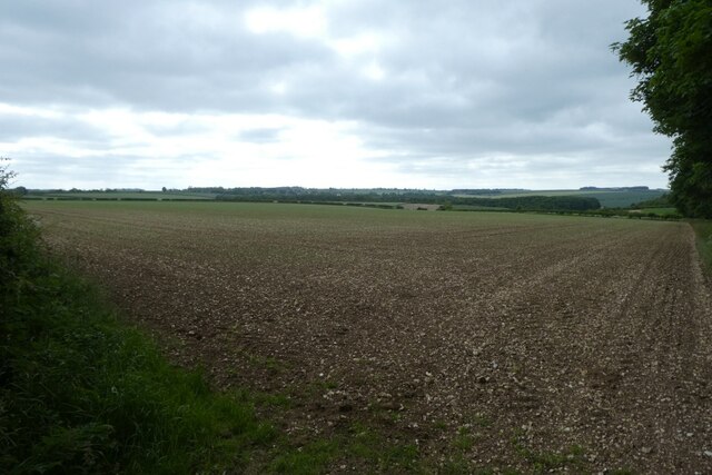
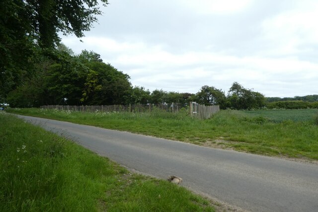
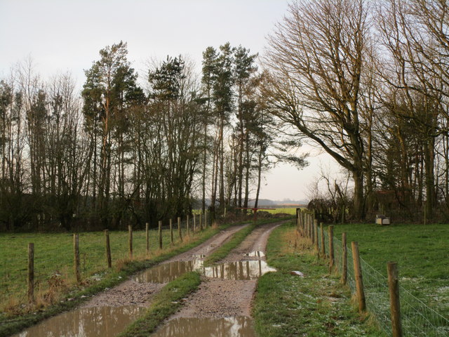
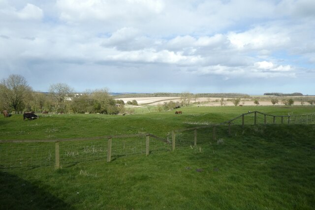
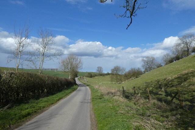
Surrounded by open fields and farmland, Huggate offers ample opportunities for outdoor activities. The area is known for its scenic walking and cycling routes, attracting nature enthusiasts and hikers. The village is also home to the highest point in the Yorkshire Wolds, known as "Woldgate Wold," which offers breathtaking panoramic views of the surrounding countryside.

Despite its small size, Huggate boasts a vibrant community spirit. The village has a well-regarded primary school, a local pub, and a village hall that hosts various events throughout the year, including concerts, craft fairs, and community gatherings.

Overall, Huggate is a tranquil and picturesque village that offers a peaceful retreat for those seeking a taste of the idyllic Yorkshire countryside. Its rich history, natural beauty, and strong sense of community make it an appealing destination for residents and visitors alike.

If you have any feedback on the listing, please let us know in the comments section below.
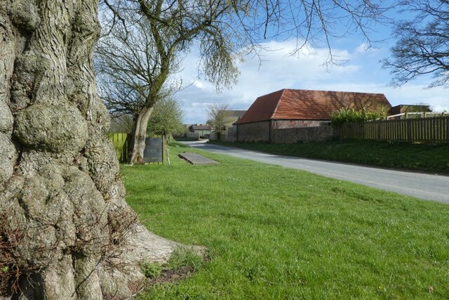
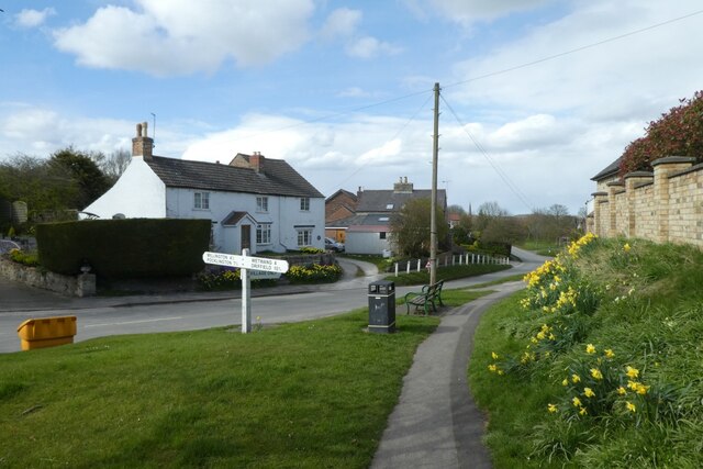
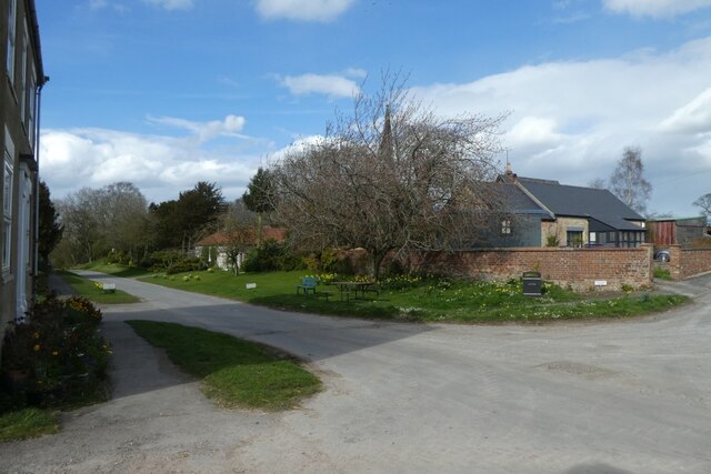
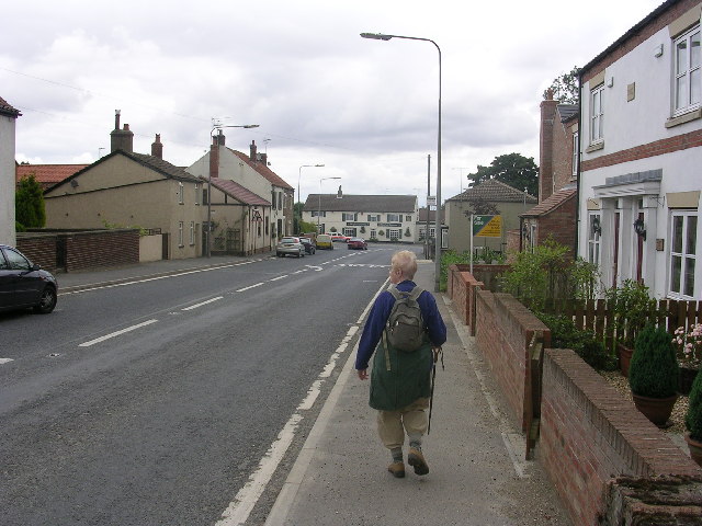
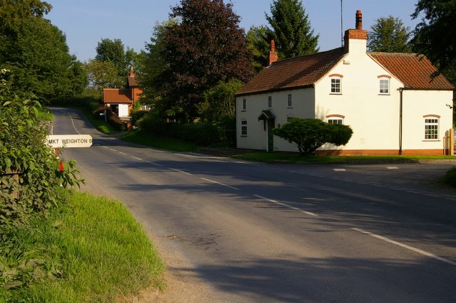
Huggate Images

Images are sourced within 2km of 53.986253/-0.656667 or Grid Reference SE8855. Thanks to Geograph Open Source API. All images are credited.

Fields near Foxcovert Farm Looking across chalky fields near Shortlands Dale.
Fields near Foxcovert Farm
Looking across chalky fields near Shortlands Dale.
Orchard near Foxcovert Farm Looking towards a small fenced orchard of young fruit trees.
Orchard near Foxcovert Farm
Looking towards a small fenced orchard of young fruit trees.
Footpath near Foxcovert Farm Part of the Chalkland Way.
Footpath near Foxcovert Farm
Part of the Chalkland Way.
Fields beside the Wolds Inn Looking across farmland from the car park of the Wolds Inn.
Fields beside the Wolds Inn
Looking across farmland from the car park of the Wolds Inn.
Driffield Road Looking along Driffield Road from a bench near the Wolds Inn.
Driffield Road
Looking along Driffield Road from a bench near the Wolds Inn.
Stocks Hill Looking along a path at the south end of Huggate.
Stocks Hill
Looking along a path at the south end of Huggate.
Church Street Looking along Church Street in Huggate on a spring afternoon.
Church Street
Looking along Church Street in Huggate on a spring afternoon.
Town End Lane Looking along Town End Lane which becomes a bridleway.
Town End Lane
Looking along Town End Lane which becomes a bridleway.
Field of sheep beside Town End Lane A footpath runs through this field in Cow Dale.
Field of sheep beside Town End Lane
A footpath runs through this field in Cow Dale.
Sheep grazing in Cow Dale A path runs through the dale.
Sheep grazing in Cow Dale
A path runs through the dale.
Path in Cow Dale The dale is used for sheep grazing.
Path in Cow Dale
The dale is used for sheep grazing.
Sheep in Cow Dale A path runs through Cow Dale which is being used for sheep grazing.
Sheep in Cow Dale
A path runs through Cow Dale which is being used for sheep grazing.
Path in Cow Dale Lots of sheep were grazing in the dale.
Path in Cow Dale
Lots of sheep were grazing in the dale.
Cow Dale Looking along a path through Cow Dale.
Cow Dale
Looking along a path through Cow Dale.
Sheep grazing in Cow Dale Looking along a path in Cow Dale.
Sheep grazing in Cow Dale
Looking along a path in Cow Dale.
Paths and Oxland Plantation Looking along the path through Cow Dale to where it meets a path running perpendicular.
Paths and Oxland Plantation
Looking along the path through Cow Dale to where it meets a path running perpendicular.
Entering Rabbit Dale Leading Cow Dale and entering Rabbit Dale with footpaths running along them.
Entering Rabbit Dale
Leading Cow Dale and entering Rabbit Dale with footpaths running along them.
Sheep near Oxland Plantation Looking along Rabbit Dale.
Sheep near Oxland Plantation
Looking along Rabbit Dale.
Show me another place!

Huggate is located at Grid Ref: SE8855 (Lat: 53.986253, Lng: -0.656667)

Division: East Riding

Unitary Authority: East Riding of Yorkshire

Police Authority: Humberside

What 3 Words

///quilt.ports.nozzle. Near Fimber, East Yorkshire

Nearby Locations

Cow Dale Huggate

Related Wikis

Huggate

Huggate is a village and civil parish in the East Riding of Yorkshire, England. It is situated approximately 13 miles (21 km) north-west of Beverley town...

Fridaythorpe

Fridaythorpe is a village and civil parish in the East Riding of Yorkshire, England. It is situated approximately 8 miles (13 km) north-east of Pocklington...

St James' Church, Warter

St James’ Church lies in Warter, an estate village in England, in the Yorkshire Wolds, part of the East Riding of Yorkshire. == Origins and history... ==

Warter

Warter is a small village and civil parish in the East Riding of Yorkshire, England. It is situated approximately 4 miles (6.4 km) east of Pocklington...

Nearby Amenities

Located within 500m of 53.986253,-0.656667
Huggate
Is In: East Riding of Yorkshire, England, UK
Is In County: East Riding of Yorkshire
Place: village
Lat/Long: 53.9861747/-0.6582652
Pub
Wolds Inn
Addr City: York
Addr Postcode: YO42 1YH
Addr Street: Driffield Road
Addr Suburb: Huggate
Beer Garden: yes
Floor Material: carpet
Food: yes
Outdoor Seating: yes
Parking: yes
Real Ale: 3 or so beers
Wheelchair: limited
Wheelchair Description: Steps at front door, slight lip at back door
Lat/Long: 53.9837848/-0.656008
Bus Stop
Huggate Stocks Hill
Bench: yes
Check Date Shelter: 2020-11-26
Naptan AtcoCode: 2200YEA01052
Naptan Bearing: N
Naptan CommonName: Huggate Stocks Hill
Naptan Street: Church Street
Naptan Verified: no
Shelter: yes
Source: naptan_import
Tactile Paving: no
Lat/Long: 53.9855591/-0.6567275
Leisure: playground
Lat/Long: 53.9851433/-0.6551432
Post Box
Collection Times: Mo-Fr 12:00; Sa 10:30
Post Box Type: lamp
Ref: YO42 232
Royal Cypher: EIIR
Royal Cypher Wikidata: Q33102113
Lat/Long: 53.9839383/-0.6570527
Telephone
Booth: K6
Covered: booth
Lat/Long: 53.9853388/-0.656825
Defibrillator
Defibrillator Location: ouside Wolds Inn, Driffield Road, Huggate YO42 1YH - on left hand side of porch
Emergency: defibrillator
Indoor: no
Lat/Long: 53.9837319/-0.6560411
Entrance: yes
Lat/Long: 53.9837235/-0.6560264
Barrier: stile
Step Count: 2
Stile: stepover
Lat/Long: 53.9869792/-0.6567033
Bench
Lat/Long: 53.9852096/-0.6557869
Bench
Lat/Long: 53.9852017/-0.6559114
Information: board
Tourism: information
Lat/Long: 53.9851338/-0.6557704
Barrier: kissing_gate
Lat/Long: 53.9850423/-0.6549613
Barrier: kissing_gate
Lat/Long: 53.9831623/-0.6527393
Bench
Lat/Long: 53.9840171/-0.6570823
Grit Bin
Lat/Long: 53.9839982/-0.6572138
Information: guidepost
Tourism: information
Lat/Long: 53.9899043/-0.6575349
Barrier: kissing_gate
Lat/Long: 53.9900079/-0.6606945
Bench
Lat/Long: 53.9874457/-0.6565915
Material: wood
Power: pole
Lat/Long: 53.9862043/-0.6496748
Material: wood
Power: pole
Lat/Long: 53.98644/-0.6510591
Material: wood
Power: pole
Lat/Long: 53.986695/-0.6526387
Material: wood
Power: pole
Lat/Long: 53.9869736/-0.6543076
Design: h-frame
Material: wood
Power: tower
Transformer: distribution
Lat/Long: 53.9867623/-0.6567358
Material: wood
Power: pole
Transformer: distribution
Lat/Long: 53.9868757/-0.6553395
Material: wood
Power: pole
Lat/Long: 53.9869716/-0.6581705
Material: wood
Power: pole
Lat/Long: 53.9870206/-0.6584626
Material: wood
Power: pole
Lat/Long: 53.9874986/-0.6596389
Material: wood
Power: pole
Lat/Long: 53.9879679/-0.6608473
Material: wood
Power: pole
Lat/Long: 53.9884769/-0.6620603
Drinking Water
Access: yes
Bottle: yes
Fee: no
Wheelchair: limited
Lat/Long: 53.9878492/-0.6560675
The data included in this document is from www.openstreetmap.org. The data is made available under ODbL.

Have you been to Huggate?

Leave your review of Huggate below (or comments, questions and feedback).