Cairn Cattoch
Hill, Mountain in Morayshire
Scotland
Cairn Cattoch
Cairn Cattoch, located in Morayshire, Scotland, is a prominent hill that boasts stunning views and holds significant archaeological and historical value. Standing at an elevation of approximately 376 meters (1,234 feet), it is a popular destination for hikers, nature enthusiasts, and history buffs alike.
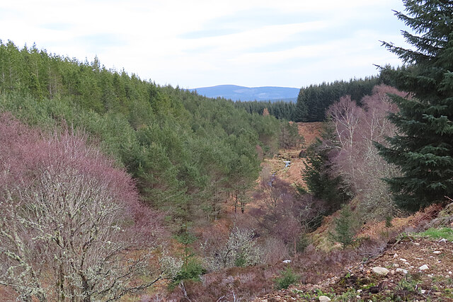
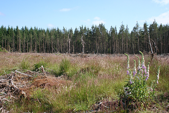
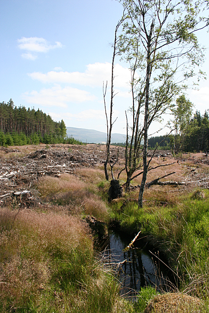
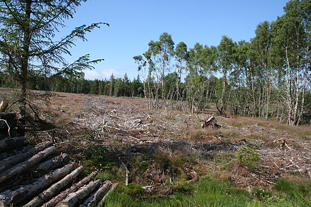
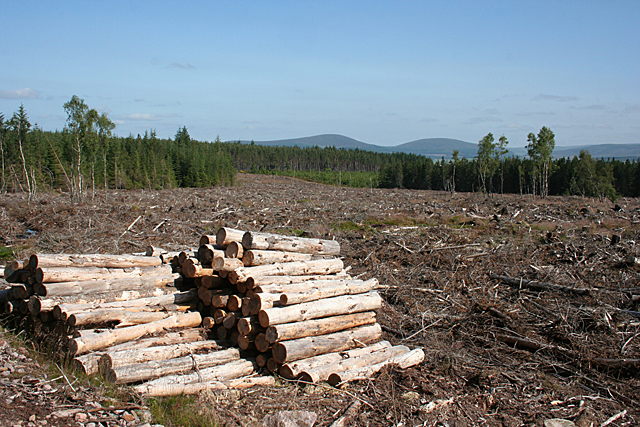
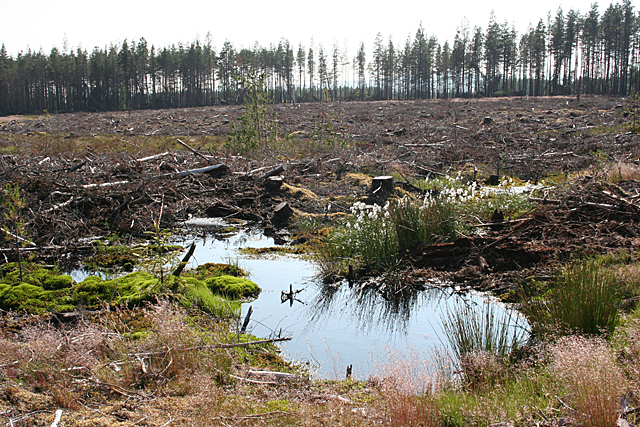
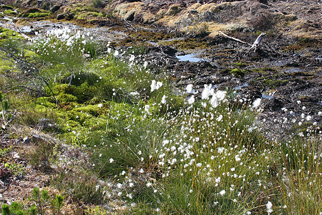
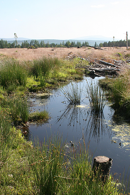
The hill is situated about 5 kilometers (3 miles) southeast of the town of Forres, and its distinct shape and commanding presence make it easily recognizable in the landscape. Cairn Cattoch is characterized by its gently sloping sides and a flat, plateau-like summit, covered in heather and grasses.
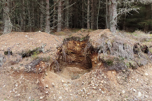
One of the most intriguing features of Cairn Cattoch is the presence of a prehistoric burial cairn at its summit. This ancient structure, dating back to the Bronze Age, is believed to have been a communal burial site for the local inhabitants of that era. Although the cairn has been partially excavated in the past, it still retains its original shape and provides an intriguing glimpse into the lives of the people who once inhabited the area.
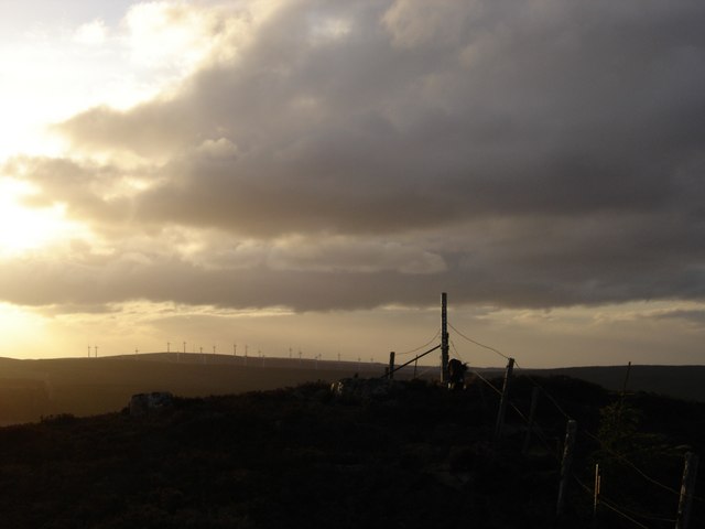
In addition to its archaeological significance, Cairn Cattoch offers breathtaking panoramic views of the surrounding countryside, stretching as far as the Moray Firth and the Grampian Mountains. On clear days, visitors can enjoy vistas of rolling hills, meandering rivers, and lush green fields, creating a picturesque and serene setting.
Cairn Cattoch serves as a popular recreational spot, attracting visitors who enjoy hiking, hillwalking, and birdwatching. Its accessibility, historical interest, and natural beauty make it a must-visit destination for anyone exploring the Morayshire region.
If you have any feedback on the listing, please let us know in the comments section below.
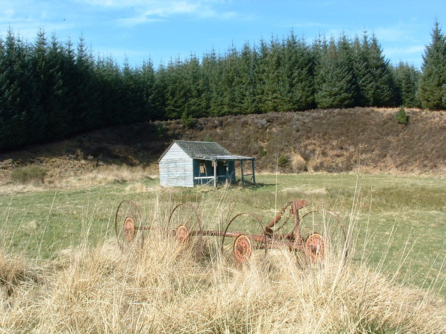
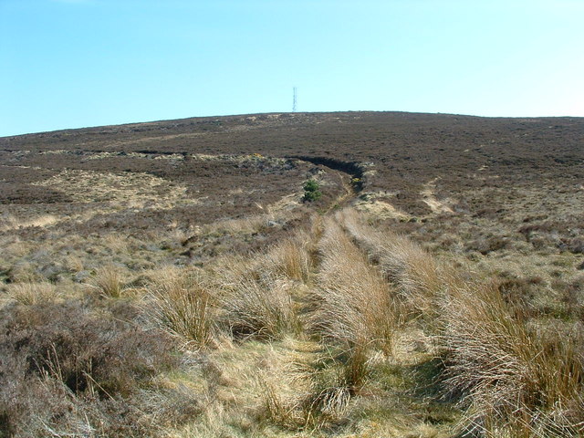
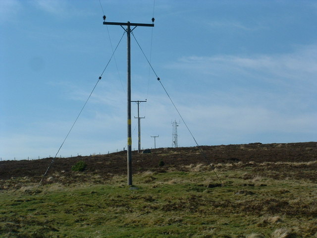
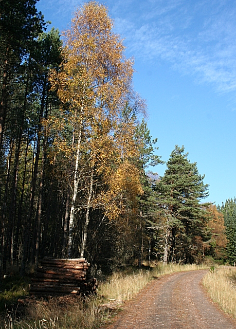
Cairn Cattoch Images
Images are sourced within 2km of 57.506521/-3.2825322 or Grid Reference NJ2346. Thanks to Geograph Open Source API. All images are credited.


Cairn Cattoch is located at Grid Ref: NJ2346 (Lat: 57.506521, Lng: -3.2825322)
Unitary Authority: Moray
Police Authority: North East
What 3 Words
///goad.copies.beaks. Near Rothes, Moray
Nearby Locations
Related Wikis

Moray (UK Parliament constituency)
Moray ( MURR-ee; Scots: Moray; Scottish Gaelic: Moireibh or Moireabh) is a county constituency of the House of Commons of the Parliament of the United...

Archiestown
Archiestown is a small village in Moray, Scotland, named in honour of its founder Sir Archibald Grant of Monymusk. It is a typical 18th century planned...

Craigneach Castle
Craigneach Castle was a tower house, about 1 mile (1.6 km) east of Carron, Strathspey, Moray, Scotland, and 3 miles (4.8 km) west of Charlestown of Aberlour...
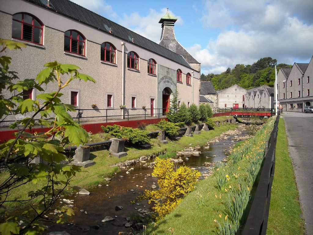
The Glenrothes distillery
The Glenrothes distillery is a Speyside single malt Scotch whisky distillery. The Glenrothes distillery is located in the town of Rothes in the heart of...

Glen Spey distillery
Glen Spey distillery is a single malt Scotch whisky distillery in Rothes, Moray at the centre of the Speyside whisky producing area of Scotland. ��2�...

Rothes
Rothes (; Scottish Gaelic: Ràthais) is a town in Moray, Scotland, on the banks of the River Spey, 10 miles (16 km) south of Elgin. The town had a population...

Victoria Bridge, Aberlour
The Victoria Bridge is a suspension footbridge near the village of Aberlour in Moray, Scotland. It was built in 1902, replacing a ferry that had previously...

Grant Hall, Rothes
Grant Hall, formerly Rothes Town Hall, is a municipal building in New Street, Rothes, Moray, Scotland. The structure is currently used as a community events...
Nearby Amenities
Located within 500m of 57.506521,-3.2825322Have you been to Cairn Cattoch?
Leave your review of Cairn Cattoch below (or comments, questions and feedback).