Hunt Hill
Hill, Mountain in Morayshire
Scotland
Hunt Hill
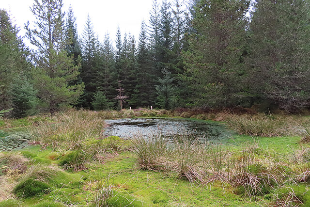
Hunt Hill, located in Morayshire, Scotland, is a prominent hill that offers stunning panoramic views of the surrounding countryside. With an elevation of 594 meters (1,949 feet), it is often referred to as a mountain due to its impressive height and rugged terrain.
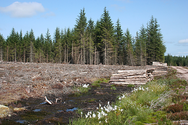
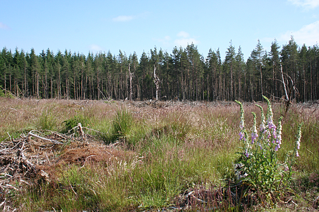
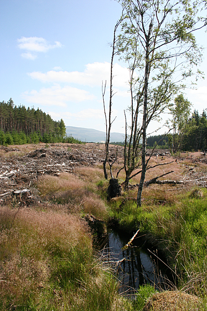
The hill is a popular destination for hikers and outdoor enthusiasts, thanks to its well-marked trails and challenging climbs. One of the main routes to the summit is the Hunt Hill Path, which starts from the town of Forres and takes approximately three to four hours to complete. The path meanders through a mix of heather moorland, forests, and open grassy slopes, providing a diverse and picturesque landscape throughout the journey.
Reaching the summit of Hunt Hill rewards visitors with breathtaking views across Morayshire and beyond. On clear days, it is possible to see the Moray Firth, the Cairngorms National Park, and even Ben Nevis, the highest peak in the British Isles.
The hill is also home to a variety of wildlife, including red deer, mountain hares, and various bird species. Birdwatchers will be delighted by the chance to spot golden eagles, peregrine falcons, and red kites soaring overhead.
Hunt Hill is easily accessible by road, with parking available near the starting point of the trail. It is advised to come prepared with appropriate hiking gear, as the terrain can be challenging and weather conditions can change rapidly. Nonetheless, the natural beauty and awe-inspiring views make Hunt Hill a must-visit destination for anyone exploring Morayshire.
If you have any feedback on the listing, please let us know in the comments section below.
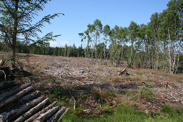
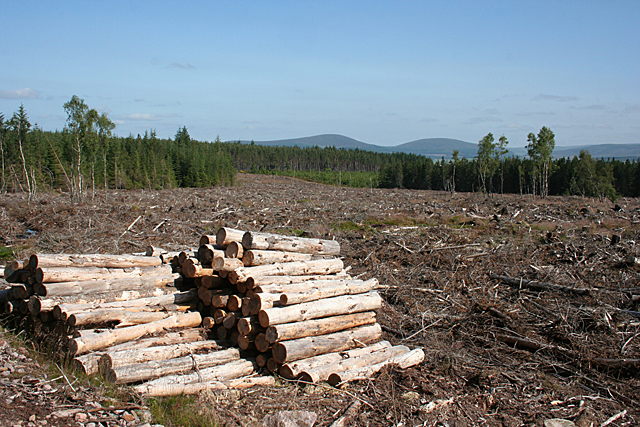
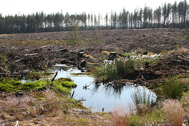
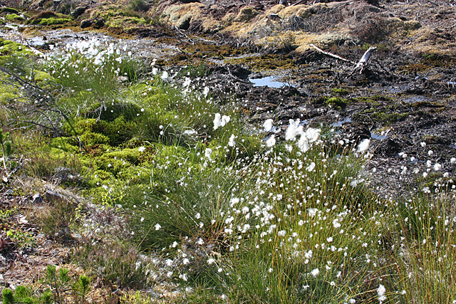
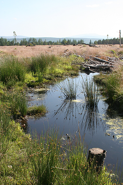
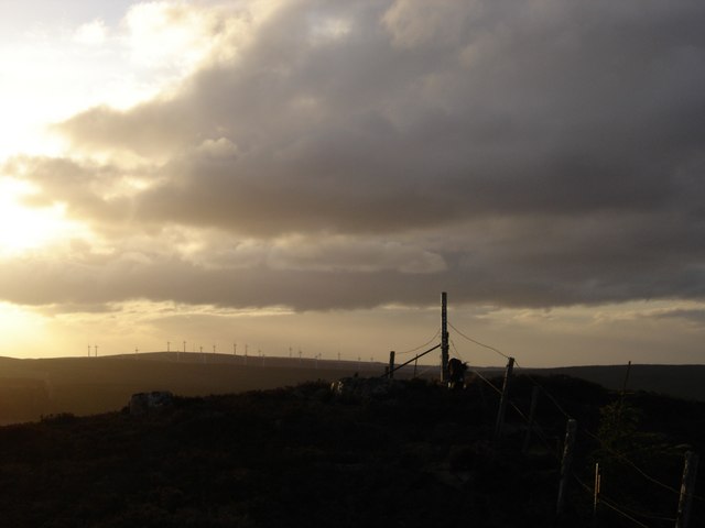
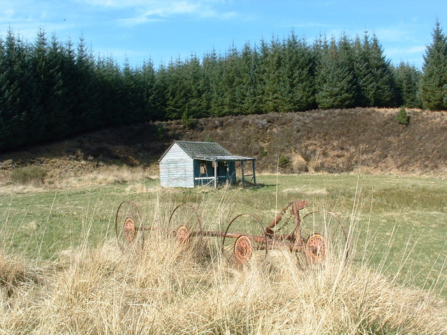
Hunt Hill Images
Images are sourced within 2km of 57.504152/-3.2760572 or Grid Reference NJ2346. Thanks to Geograph Open Source API. All images are credited.


Hunt Hill is located at Grid Ref: NJ2346 (Lat: 57.504152, Lng: -3.2760572)
Unitary Authority: Moray
Police Authority: North East
What 3 Words
///tadpole.spell.cuff. Near Charlestown of Aberlour, Moray
Nearby Locations
Related Wikis

Moray (UK Parliament constituency)
Moray ( MURR-ee; Scots: Moray; Scottish Gaelic: Moireibh or Moireabh) is a county constituency of the House of Commons of the Parliament of the United...

Archiestown
Archiestown is a small village in Moray, Scotland, named in honour of its founder Sir Archibald Grant of Monymusk. It is a typical 18th century planned...

Craigneach Castle
Craigneach Castle was a tower house, about 1 mile (1.6 km) east of Carron, Strathspey, Moray, Scotland, and 3 miles (4.8 km) west of Charlestown of Aberlour...
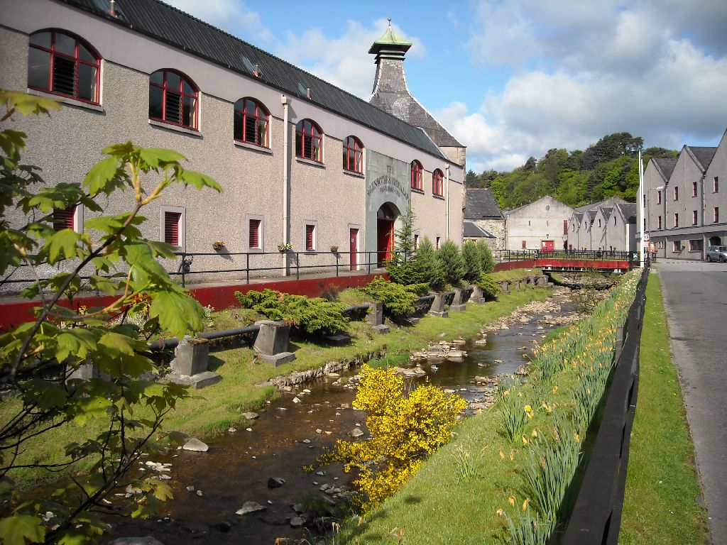
The Glenrothes distillery
The Glenrothes distillery is a Speyside single malt Scotch whisky distillery. The Glenrothes distillery is located in the town of Rothes in the heart of...
Nearby Amenities
Located within 500m of 57.504152,-3.2760572Have you been to Hunt Hill?
Leave your review of Hunt Hill below (or comments, questions and feedback).