Hurgin

Hill, Mountain in Shropshire

England

Hurgin

Small quarry Informal quarries such as this used to provide all the local requirements for stone. It is interesting to see that this one has been worked recently to a limited extent. The rock here is a sandstone with overlying shales of the Cefn Einion Formation, of undecided late Silurian to early Devonian age - the uncertainty arising from a non-existent or sparse set of fossils used for dating. The only thing we could find was some burrowing preserved on the level bedding surfaces. See <a href="https://www.geograph.org.uk/photo/421631">SO2886 : Cefn Einion</a> for another locality.
Small quarry Credit: Jonathan Wilkins

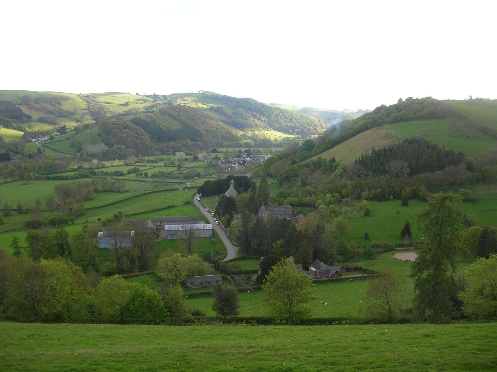
Hurgin, located in the county of Shropshire, is a prominent hill/mountain that stands at an elevation of 430 meters (1,410 feet) above sea level. It is situated in the western part of the county, approximately 10 kilometers (6 miles) northeast of the town of Shrewsbury. Hurgin is an important landmark in the region, attracting both locals and visitors due to its picturesque beauty and panoramic views.

Covered in lush greenery, Hurgin is primarily composed of sandstone and limestone, which contribute to its unique geological features. The hill/mountain is part of the wider Shropshire Hills Area of Outstanding Natural Beauty, which showcases the diverse landscapes and rich biodiversity of the region.

Hurgin offers a range of outdoor activities for nature enthusiasts and hikers. Several well-marked trails lead up to the summit, providing breathtaking vistas of the surrounding countryside, including the meandering River Severn and the rolling hills of Shropshire. The hill/mountain is also home to a variety of flora and fauna, with rare and protected species found in its vicinity.

The surrounding area of Hurgin is characterized by a mixture of agricultural land, woodlands, and small villages. The nearby village of Church Stretton, known as the "gateway to the Shropshire Hills," serves as a popular base for visitors exploring Hurgin and the wider area. It offers amenities such as accommodation, shops, and eateries, making it convenient for tourists to access and enjoy the natural beauty of Hurgin.

If you have any feedback on the listing, please let us know in the comments section below.
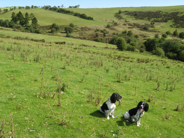
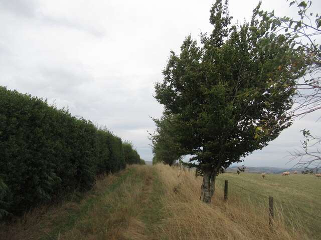
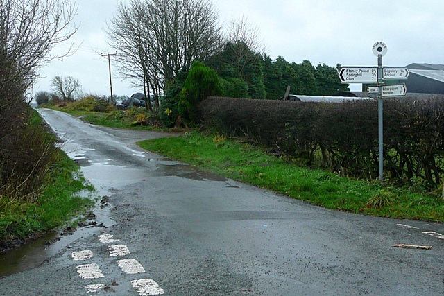
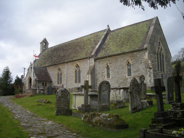
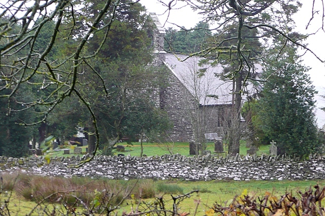
Hurgin Images

Images are sourced within 2km of 52.408198/-3.1297421 or Grid Reference SO2379. Thanks to Geograph Open Source API. All images are credited.

Small quarry Informal quarries such as this used to provide all the local requirements for stone. It is interesting to see that this one has been worked recently to a limited extent. The rock here is a sandstone with overlying shales of the Cefn Einion Formation, of undecided late Silurian to early Devonian age - the uncertainty arising from a non-existent or sparse set of fossils used for dating. The only thing we could find was some burrowing preserved on the level bedding surfaces. See <a href="https://www.geograph.org.uk/photo/421631">SO2886 : Cefn Einion</a> for another locality.
Small quarry
Informal quarries such as this used to provide all the local requirements for stone. It is interesting to see that this one has been worked recently to a limited extent. The rock here is a sandstone with overlying shales of the Cefn Einion Formation, of undecided late Silurian to early Devonian age - the uncertainty arising from a non-existent or sparse set of fossils used for dating. The only thing we could find was some burrowing preserved on the level bedding surfaces. See SO2886 : Cefn Einion for another locality.
Footpath to Stoney Pound
High Hedgerows near Stoney Pound
Head of the valley Looking down onto the wetland near to the head of the Crochen Brook, which almost reaches Stoney Pound. The form of the plateau with its deeply-incised valleys is easily appreciated from this altitude. Apart from a gate to aim for on the road above there is no marking for the bridleway on this stretch.
Head of the valley
Looking down onto the wetland near to the head of the Crochen Brook, which almost reaches Stoney Pound. The form of the plateau with its deeply-incised valleys is easily appreciated from this altitude. Apart from a gate to aim for on the road above there is no marking for the bridleway on this stretch.
Pasture below Hill House Steep fields running down to the Crochen Brook below Hill house and the road to Stoney Pound.
Pasture below Hill House
Steep fields running down to the Crochen Brook below Hill house and the road to Stoney Pound.
Puddles and trees The byway to Stoney Pound is very wet after recent rain. The trees at the bend are a landmark in this almost featureless summit area.
Puddles and trees
The byway to Stoney Pound is very wet after recent rain. The trees at the bend are a landmark in this almost featureless summit area.
Access land A curious triangle of common land on the summit above Llantroft <a href="https://www.geograph.org.uk/photo/2566212">SO2379 : Llantroft farm buildings</a>. The rough grazing contrasts with improved grass and cropped land nearby.
Access land
A curious triangle of common land on the summit above Llantroft SO2379 : Llantroft farm buildings. The rough grazing contrasts with improved grass and cropped land nearby.
Abandoned roller All the woodwork of this roller has rotted away, while the durability of cast-iron is demonstrated.
Abandoned roller
All the woodwork of this roller has rotted away, while the durability of cast-iron is demonstrated.
Clun Forest sheep, Dowke Hill On home ground. One of the two breeds originating in these hills.
Clun Forest sheep, Dowke Hill
On home ground. One of the two breeds originating in these hills.
View off Dowke Hill Towards Beacon Hill on the other side of the Teme.
View off Dowke Hill
Towards Beacon Hill on the other side of the Teme.
Track on Dowke Hill Passing the summit
Track on Dowke Hill
Passing the summit
Clun Forest Above Pant-y-cwm-hordie. (Spelling Shropshire Welsh names can be a challenge)
Clun Forest
Above Pant-y-cwm-hordie. (Spelling Shropshire Welsh names can be a challenge)
Clun Forest pasture
Clun Forest pasture
Offa's Dyke Offa's Dyke on Llanfair Hill looking North. The highest point of the Dyke and it comprises an impressive bank and ditch here although it is being damaged a good deal by badgers
Offa's Dyke
Offa's Dyke on Llanfair Hill looking North. The highest point of the Dyke and it comprises an impressive bank and ditch here although it is being damaged a good deal by badgers
He's nearly home
He's nearly home
Lane junction near Cwm Collo
Ewe'll never get in.
Ewe're at Cwm Collo
Ewe're at Cwm Collo
Show me another place!

Hurgin is located at Grid Ref: SO2379 (Lat: 52.408198, Lng: -3.1297421)

Unitary Authority: Shropshire

Police Authority: West Mercia

What 3 Words

///drummers.thanks.owns. Near Acton, Shropshire

Nearby Locations

Hurgin

Related Wikis

Quabbs

Quabbs is a small, scattered hamlet in the southwest of Shropshire, near the border between England and Wales. The name, which also occurs in Gloucestershire...

Llanfair Waterdine

Llanfair Waterdine, sometimes written as Llanvair Waterdine and meaning St Mary's Church Waterdine, is a small village and civil parish in Shropshire,...

Bettws-y-Crwyn

Bettws-y-Crwyn (Welsh: Betws-y-crwyn / Betwsycrowyn) is a small, remote village and civil parish in south-west Shropshire, England. It is close to the...

Newcastle, Shropshire

Newcastle is a village in the rural south west of Shropshire, England. It lies at the confluence of the River Clun and the Folly Brook, 3 miles west of...

Have you been to Hurgin?

Leave your review of Hurgin below (or comments, questions and feedback).