Black Knowe

Hill, Mountain in Selkirkshire

Scotland

Black Knowe

Single track road, Ettrickdale Complete with some very old looking passing place signs.  Ferny Hill in the background.
Single track road, Ettrickdale Credit: Alan O'Dowd

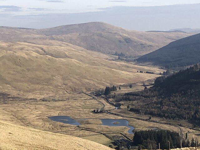
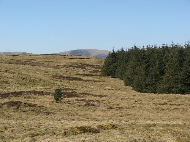
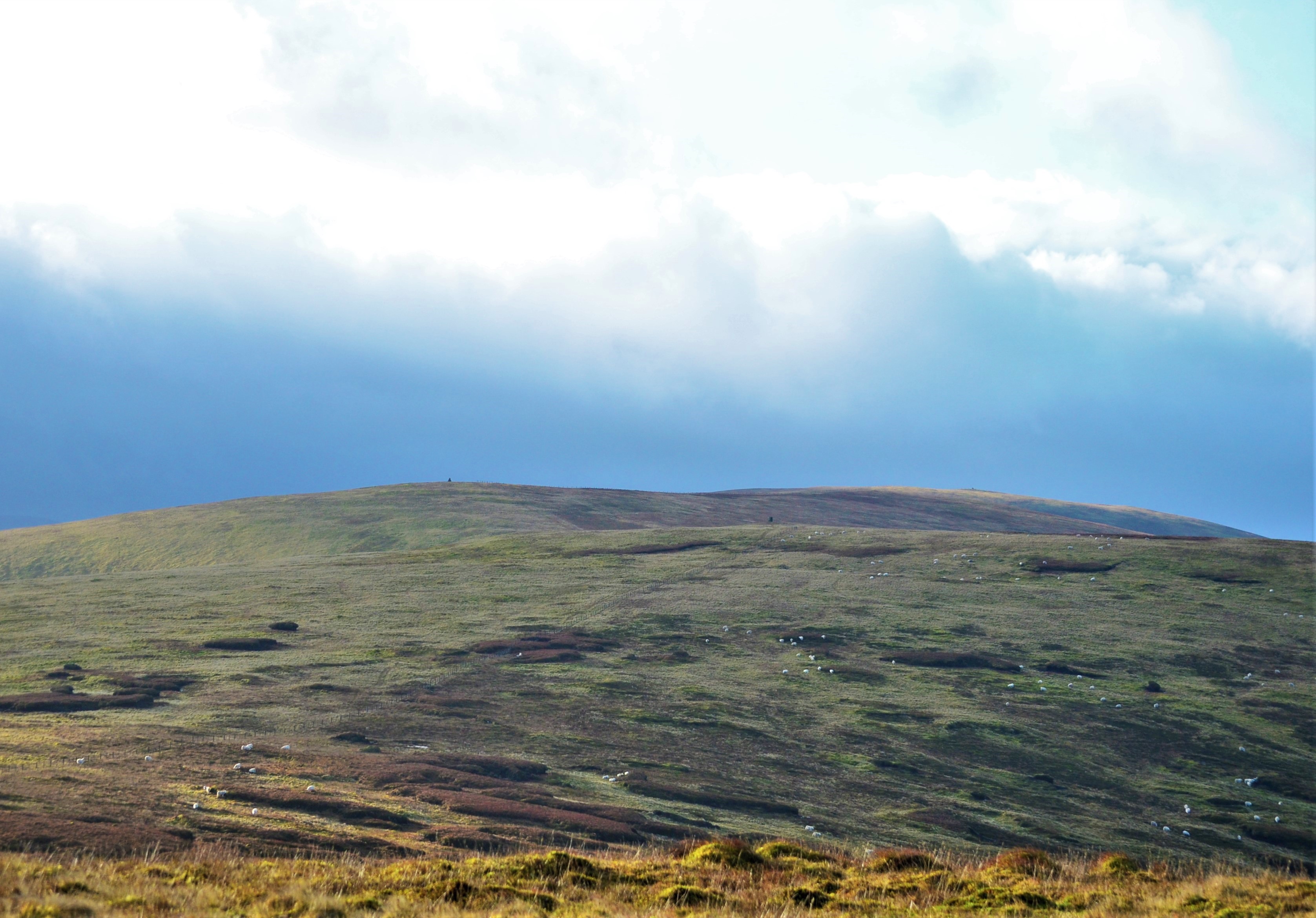
Black Knowe is a prominent hill located in the historical county of Selkirkshire, Scotland. Situated in the southern uplands of the country, it stands at an elevation of approximately 386 meters (1,266 feet). The hill is known for its distinctive conical shape and is a popular destination for hikers and nature enthusiasts.

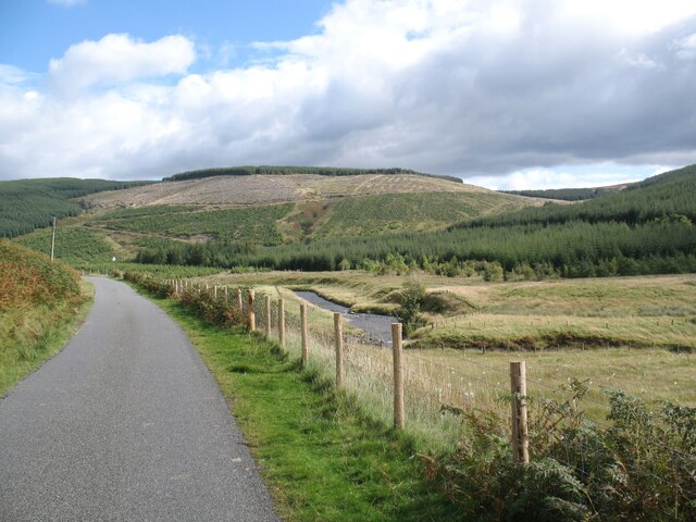
Covered in lush green vegetation, Black Knowe offers breathtaking panoramic views of the surrounding countryside. On a clear day, one can see the rolling hills, meandering rivers, and picturesque villages that dot the landscape. The hill is also home to a variety of wildlife, including red grouse, skylarks, and rabbits.

The ascent to the summit of Black Knowe is relatively easy, with well-maintained footpaths leading up to the top. Along the way, visitors can enjoy the tranquility of the countryside, listening to the sounds of birdsong and the rustling of leaves. At the summit, a stone cairn stands as a testament to the hill's enduring allure.

Black Knowe holds historical significance as well. It is believed to have been an important site during ancient times, possibly serving as a lookout or defensive position. Its strategic location and commanding views would have made it an ideal vantage point for observing the surrounding area.

Overall, Black Knowe offers a captivating blend of natural beauty, outdoor adventure, and historical intrigue, making it a must-visit destination for those exploring Selkirkshire and its surroundings.

If you have any feedback on the listing, please let us know in the comments section below.
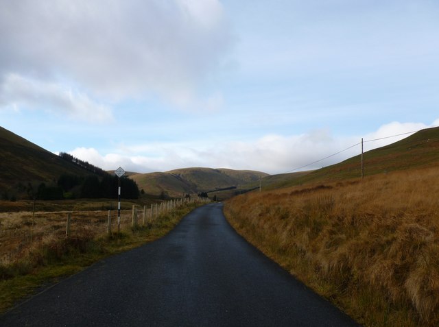
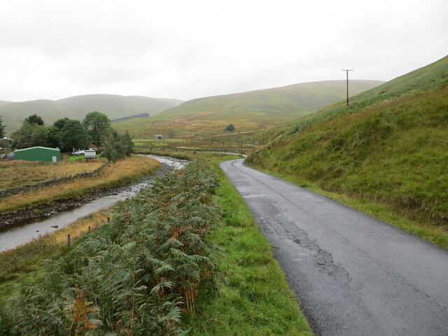
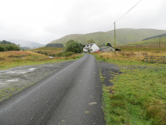
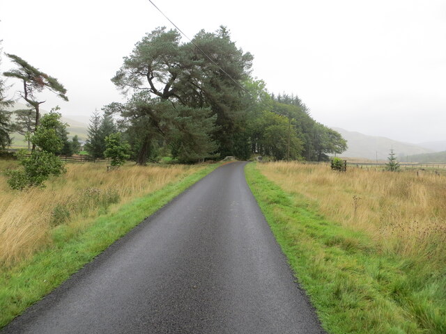
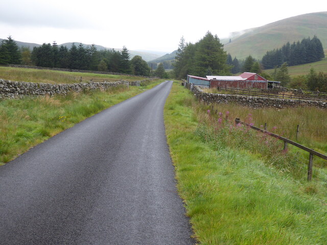
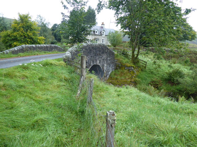
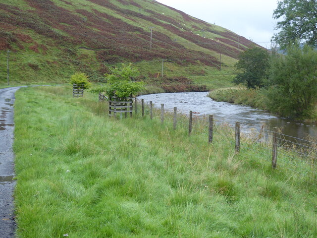
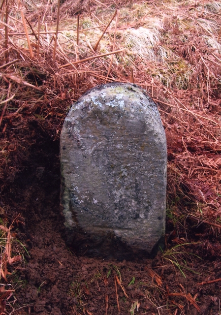
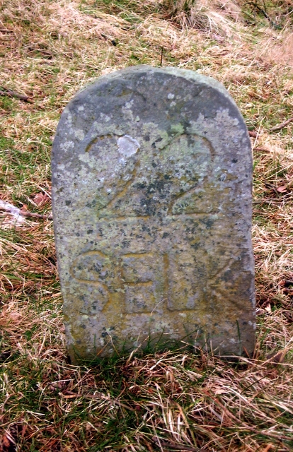
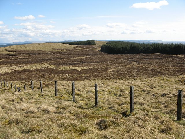
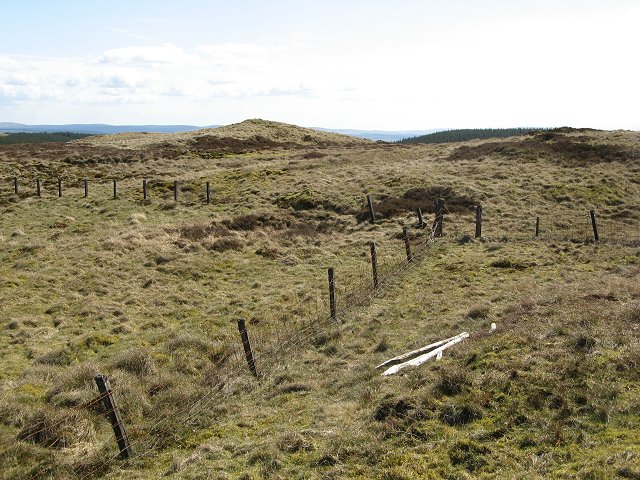
Black Knowe Images

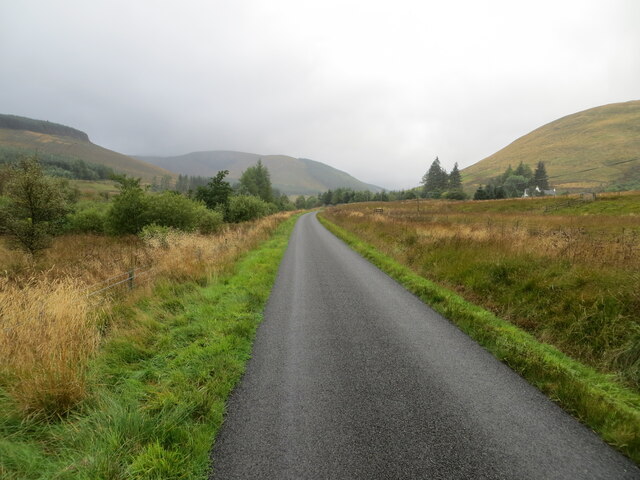
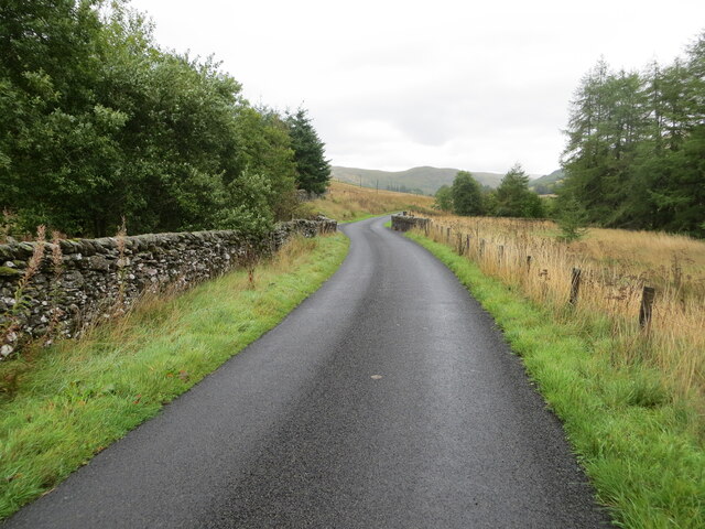
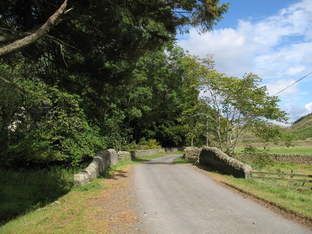
Images are sourced within 2km of 55.386023/-3.2235742 or Grid Reference NT2210. Thanks to Geograph Open Source API. All images are credited.

Single track road, Ettrickdale Complete with some very old looking passing place signs.  Ferny Hill in the background.
Single track road, Ettrickdale
Complete with some very old looking passing place signs. Ferny Hill in the background.
Minor road beside Ettrick Water at Shorthope Looking westward.
Minor road beside Ettrick Water at Shorthope
Looking westward.
Minor road approaching Crook Cottage Looking south-westward.
Minor road approaching Crook Cottage
Looking south-westward.
Minor road and bridge near Over Kirkhope Looking north-eastward. At this point Kirkhope Burn flows beneath the road.
Minor road and bridge near Over Kirkhope
Looking north-eastward. At this point Kirkhope Burn flows beneath the road.
Minor road near to Broadgairhill Looking south-westward.
Minor road near to Broadgairhill
Looking south-westward.
Minor road and bridge near to Broadgairhill Farm Looking north-eastward. At this point Broadgairhill Burn flows beneath the road.
Minor road and bridge near to Broadgairhill Farm
Looking north-eastward. At this point Broadgairhill Burn flows beneath the road.
Bridge over Kirkhope Burn On The Southern Upland Way, the bridge is at Over Kirkhope on the minor road from Ettrick to the head of the Ettrick Valley.
Bridge over Kirkhope Burn
On The Southern Upland Way, the bridge is at Over Kirkhope on the minor road from Ettrick to the head of the Ettrick Valley.
Ettrick Valley near Shorthope The Ettrick Water is a tributary of the River Tweed.  Hope Head is in the background.
The Southern Upland Way follows the road.
Ettrick Valley near Shorthope
The Ettrick Water is a tributary of the River Tweed. Hope Head is in the background. The Southern Upland Way follows the road.
The Southern Upland Way near Broadgairhill
The Southern Upland Way near Over Kirkthorpe
The Southern Upland Way near Shorthope
Old Milestone above Ettrick Water, Shorthope, Ettrick Parish By the UC road, in parish of Ettrick (Selkirk District), Shorthope, above Ettrick Water, in bracken, on unfenced verge, North side of road.

Inscription once read:-
(Selkirk)
(21)
Carved bench mark on lower face.

Surveyed

Milestone Society National ID: BD_SKEW21
Old Milestone above Ettrick Water, Shorthope, Ettrick Parish
By the UC road, in parish of Ettrick (Selkirk District), Shorthope, above Ettrick Water, in bracken, on unfenced verge, North side of road. Inscription once read:- (Selkirk) (21) Carved bench mark on lower face. Surveyed Milestone Society National ID: BD_SKEW21
Old Milestone at Over Kirkhope, Ettrick parish Stone post by the UC road, in parish of Ettrick (Selkirk District), Over Kirkhope, Ettrick Water, on unfenced verge.

Inscription reads:-
22
SELK

Surveyed

Milestone Society National ID: BD_SKEW22
Old Milestone at Over Kirkhope, Ettrick parish
Stone post by the UC road, in parish of Ettrick (Selkirk District), Over Kirkhope, Ettrick Water, on unfenced verge. Inscription reads:- 22 SELK Surveyed Milestone Society National ID: BD_SKEW22
The Ettrick Valley from Nether Hill Looking downstream in the upper Ettrick Valley. The prominent hill, dead centre, is Ward Law, 594m, in <a href="https://www.geograph.org.uk/gridref/NT2615">NT2615</a>.
The Ettrick Valley from Nether Hill
Looking downstream in the upper Ettrick Valley. The prominent hill, dead centre, is Ward Law, 594m, in NT2615.
Bloodhope Head The foresters have not bothered fighting the wind by planting the ridges. This has left an area of rough land that provides grazing for the roe deer and little else. Rough but enjoyable walking, also used by riders given the odd hoof print seen.  The fence is now redundant, farming having ceased here, and roughly marks the march between Selkirkshire (PoV) and Dumfriesshire.
Bloodhope Head
The foresters have not bothered fighting the wind by planting the ridges. This has left an area of rough land that provides grazing for the roe deer and little else. Rough but enjoyable walking, also used by riders given the odd hoof print seen. The fence is now redundant, farming having ceased here, and roughly marks the march between Selkirkshire (PoV) and Dumfriesshire.
Bloodhope Head Fence junction. I am standing in Selkirkshire and in ground still grazed by sheep. The segment to the right and in the distance are ungrazed now, unplanted land in forest. The distant segment is in Dumfriesshire.
Bloodhope Head
Fence junction. I am standing in Selkirkshire and in ground still grazed by sheep. The segment to the right and in the distance are ungrazed now, unplanted land in forest. The distant segment is in Dumfriesshire.
Forest, Bloodhope Head An escapee leads the alien colonisation of Selkirkshire.  Self seeded sitka.
Forest, Bloodhope Head
An escapee leads the alien colonisation of Selkirkshire. Self seeded sitka.
Blue Cairn Hill The county boundary ridge has not been planted. The ruined fence remains from sheep farming days.
Blue Cairn Hill
The county boundary ridge has not been planted. The ruined fence remains from sheep farming days.
Show me another place!

Black Knowe is located at Grid Ref: NT2210 (Lat: 55.386023, Lng: -3.2235742)

Unitary Authority: The Scottish Borders

Police Authority: The Lothians and Scottish Borders

What 3 Words

///cavalier.joggers.syndicate. Near Ettrick, Scottish Borders

Nearby Locations

Black Knowe Ettrick Hills

Related Wikis

Andrewhinney Hill

Andrewhinney Hill is a hill in the Ettrick Hills range, part of the Southern Uplands of Scotland. It is the highest summit of a ridge that runs parallel...

Ettrick Pen

Ettrick Pen is a hill in the Ettrick Hills range, part of the Southern Uplands of Scotland. A remote peak, It lies southwest of the village of Ettrick...

Southern Uplands

The Southern Uplands (Scottish Gaelic: Na Monaidhean a Deas) are the southernmost and least populous of mainland Scotland's three major geographic areas...

Ettrick, Scotland

Ettrick (Scottish Gaelic: Eadaraig, IPA: [ˈet̪əɾɪkʲ]) is a small village and civil parish in the Scottish Borders area of Scotland. It is located on the...

Have you been to Black Knowe?

Leave your review of Black Knowe below (or comments, questions and feedback).