High Scarth
Hill, Mountain in Cumberland Copeland
England
High Scarth

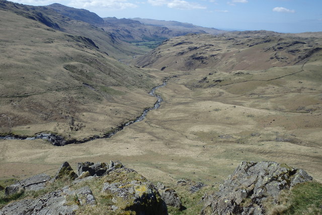
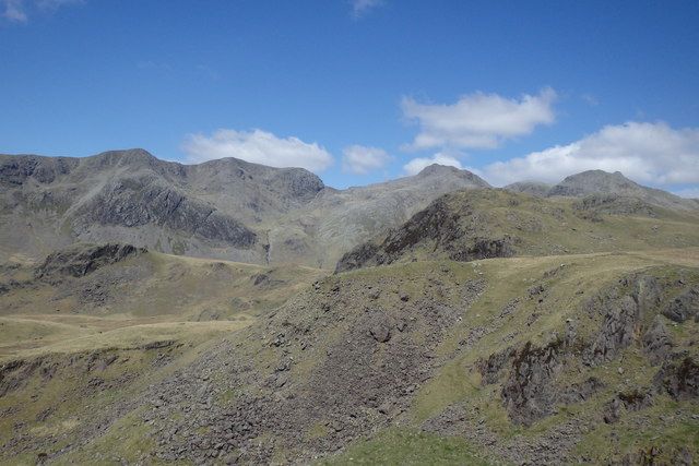
High Scarth is a prominent hill located in the county of Cumberland in North West England. With an elevation of 641 meters (2,103 feet), it is considered one of the most notable peaks in the region. Situated within the Lake District National Park, High Scarth offers breathtaking views of the surrounding landscape, including the picturesque valleys and lakes that are characteristic of the area.
The hill is primarily composed of sedimentary rocks, including the locally abundant Borrowdale Volcanic Group, which gives it a distinctive appearance. It is also known for its steep slopes, making it a popular destination for hikers and climbers looking for a challenging yet rewarding ascent.
The summit of High Scarth provides panoramic vistas of the surrounding fells, including the nearby Skiddaw and Blencathra mountains, as well as the expansive Derwentwater and Bassenthwaite Lake. On clear days, it is even possible to catch a glimpse of the distant Scottish mountains.
High Scarth is accessible via various routes, with the most popular starting from the town of Keswick. The ascent typically takes around two to three hours, depending on the chosen path and the hiker's level of experience. The hill's diverse plant and animal life, including heather, bilberry, and birds such as the skylark, add to its natural beauty and appeal.
Overall, High Scarth stands as a remarkable natural landmark in Cumberland, offering outdoor enthusiasts and nature lovers an opportunity to experience the stunning beauty of the Lake District National Park.
If you have any feedback on the listing, please let us know in the comments section below.
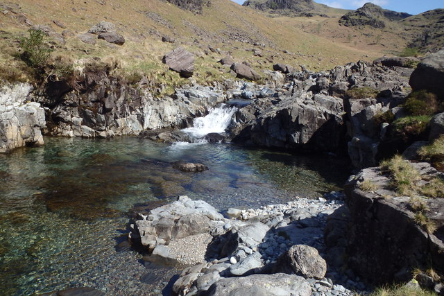
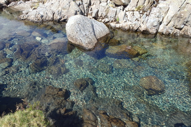
High Scarth Images
Images are sourced within 2km of 54.428864/-3.2110621 or Grid Reference NY2104. Thanks to Geograph Open Source API. All images are credited.


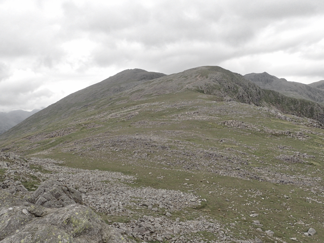
![Harter Fell [<a href="https://www.geograph.org.uk/gridref/SD2199">SD2199</a>] Taken on the descent of Horn Crag.](https://s1.geograph.org.uk/geophotos/05/05/20/5052037_ba602769.jpg)


High Scarth is located at Grid Ref: NY2104 (Lat: 54.428864, Lng: -3.2110621)
Administrative County: Cumbria
District: Copeland
Police Authority: Cumbria
What 3 Words
///onlookers.unfounded.securing. Near Ambleside, Cumbria
Nearby Locations
Related Wikis

Slight Side
Slight Side is a fell in the English Lake District it stands 25 kilometres (16 miles) east southeast of the town of Whitehaven and reaches a height of...

Scafell
Scafell ( or ; also spelled Sca Fell, previously Scawfell) is a mountain in the Lake District region of Cumbria, England. It has a height of 964 metres...

Mickledore
Mickledore (the name means great door or pass) is a narrow ridge, 840 metres (2755 ft) high, connecting the mountains of Scafell and Scafell Pike in the...

Hard Knott
Hard Knott is a fell in the English Lake District, at the head of Eskdale. The northern and western slopes of Hard Knott are in the civil parish of Eskdale...
Nearby Amenities
Located within 500m of 54.428864,-3.2110621Have you been to High Scarth?
Leave your review of High Scarth below (or comments, questions and feedback).