High Scarth Crag
Hill, Mountain in Cumberland Copeland
England
High Scarth Crag

High Scarth Crag is a prominent hill located in the county of Cumberland, in the northwestern part of England. Situated within the Lake District National Park, it forms part of the larger range known as the Eastern Fells. With an elevation of 651 meters (2,136 feet), it is classified as a Marilyn, a term used to describe hills with a prominence of at least 150 meters.
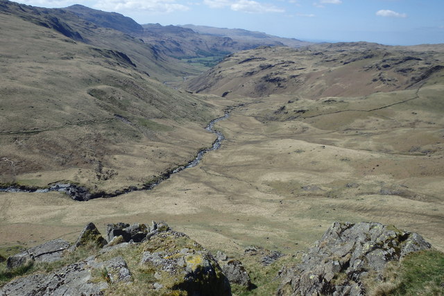
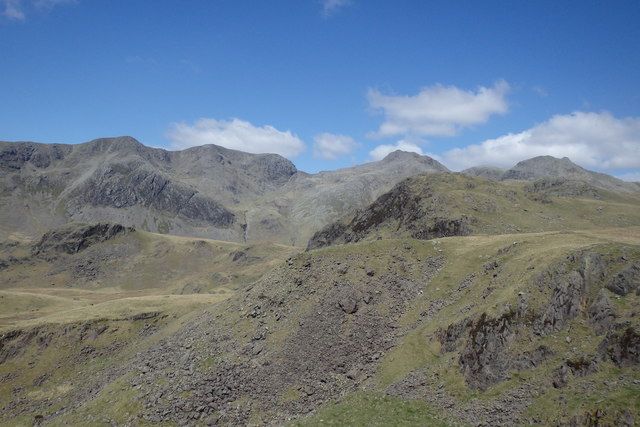
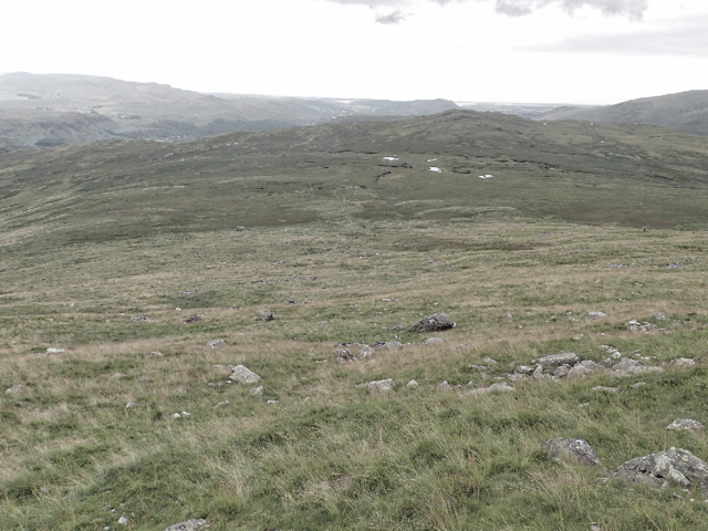
The summit of High Scarth Crag offers breathtaking panoramic views of the surrounding landscape. On a clear day, visitors can enjoy vistas of the nearby valleys, lakes, and other fells in the Lake District. The hill itself is covered in a combination of grass and heather, providing a rich habitat for a variety of bird species, including curlews, skylarks, and wheatears.
Access to High Scarth Crag is relatively straightforward, with several footpaths leading to its summit. One popular route starts from the village of Mungrisdale, where walkers can ascend via a well-marked path that gradually climbs up the hillside. The hike is moderately challenging, but the rewarding views at the top make it well worth the effort.
High Scarth Crag is a popular destination for outdoor enthusiasts, attracting hikers, photographers, and nature lovers alike. Its location within the Lake District National Park ensures that it remains a cherished natural landmark within the region.
If you have any feedback on the listing, please let us know in the comments section below.
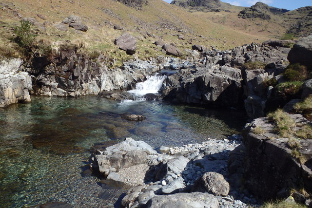
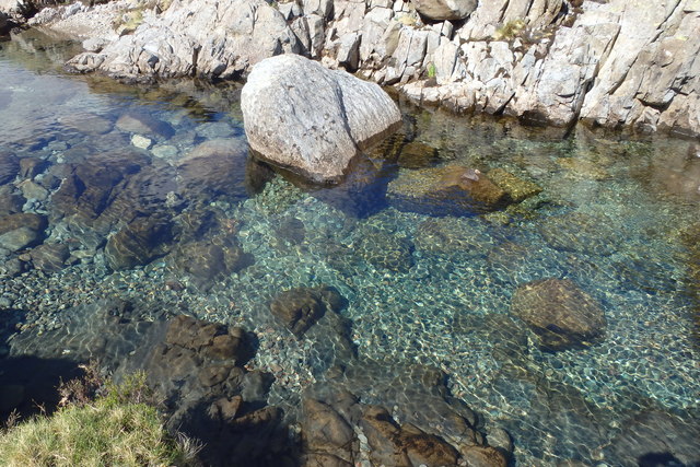
High Scarth Crag Images
Images are sourced within 2km of 54.42563/-3.2109051 or Grid Reference NY2104. Thanks to Geograph Open Source API. All images are credited.


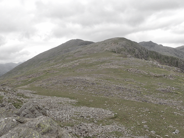
![Harter Fell [<a href="https://www.geograph.org.uk/gridref/SD2199">SD2199</a>] Taken on the descent of Horn Crag.](https://s1.geograph.org.uk/geophotos/05/05/20/5052037_ba602769.jpg)

High Scarth Crag is located at Grid Ref: NY2104 (Lat: 54.42563, Lng: -3.2109051)
Administrative County: Cumbria
District: Copeland
Police Authority: Cumbria
What 3 Words
///cans.frantic.whizzing. Near Ambleside, Cumbria
Nearby Locations
Related Wikis

Slight Side
Slight Side is a fell in the English Lake District it stands 25 kilometres (16 miles) east southeast of the town of Whitehaven and reaches a height of...

Hard Knott
Hard Knott is a fell in the English Lake District, at the head of Eskdale. The northern and western slopes of Hard Knott are in the civil parish of Eskdale...

Hardknott Roman Fort
Hardknott Roman Fort is an archeological site, the remains of the Roman fort Mediobogdum, located on the western side of the challenging Hardknott Pass...

Scafell
Scafell ( or ; also spelled Sca Fell, previously Scawfell) is a mountain in the Lake District region of Cumbria, England. It has a height of 964 metres...
Nearby Amenities
Located within 500m of 54.42563,-3.2109051Have you been to High Scarth Crag?
Leave your review of High Scarth Crag below (or comments, questions and feedback).