Aikin Knott

Hill, Mountain in Cumberland Allerdale

England

Aikin Knott

Approaching Sail Summit Another misty day on the fells
Approaching Sail Summit Credit: Michael Graham

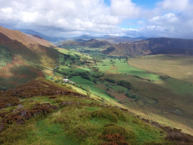
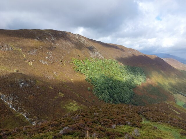
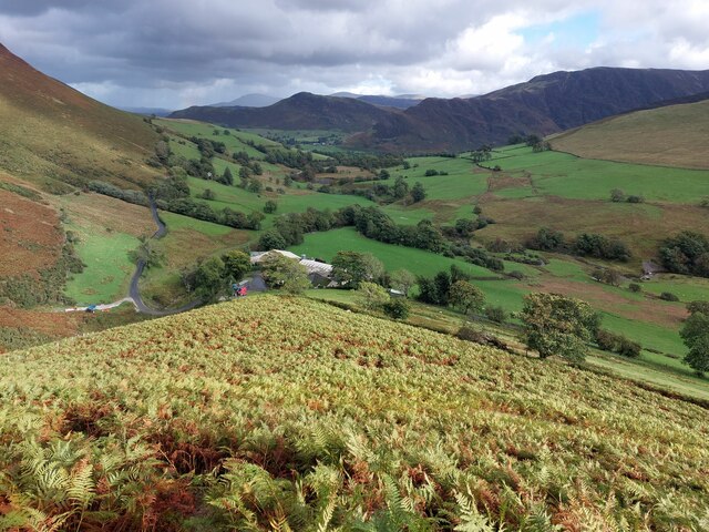
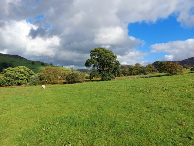
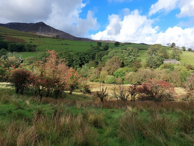
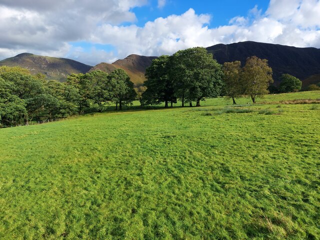
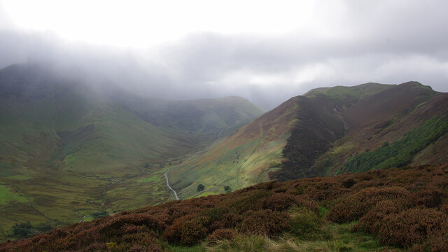
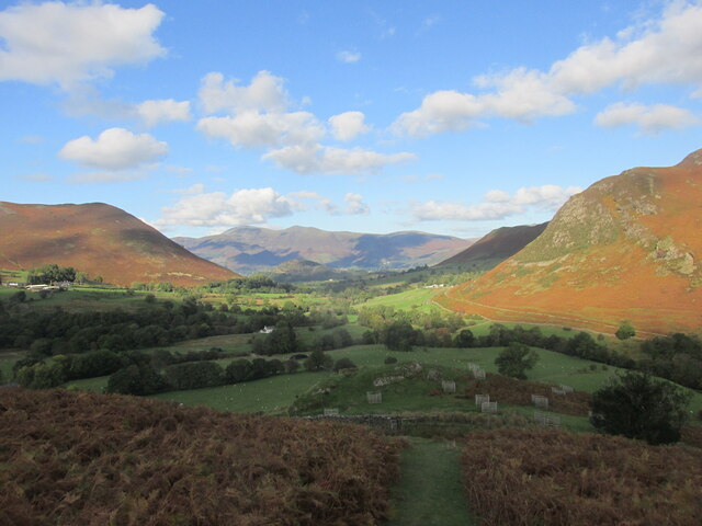
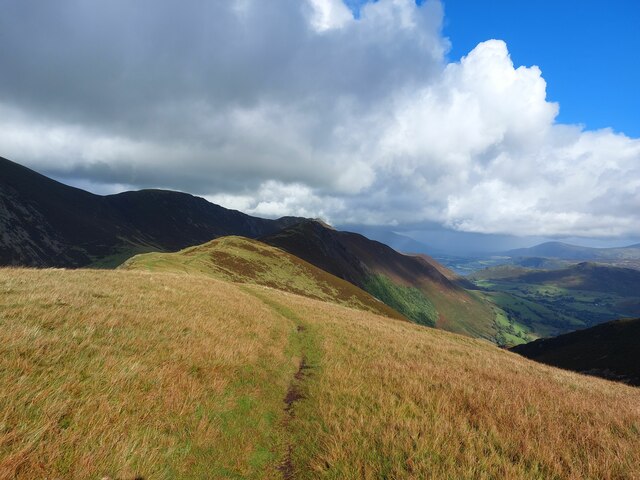
Aikin Knott is a prominent hill located in Cumberland, a historic county in the northwest of England. It is part of the larger Cumberland Hill range, which is known for its stunning natural beauty and scenic landscapes. Aikin Knott, standing at an elevation of approximately 500 meters (1,640 feet), offers breathtaking views of the surrounding countryside.

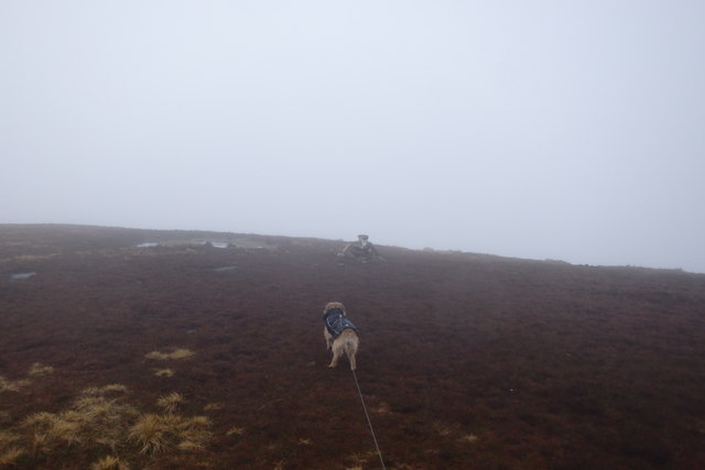
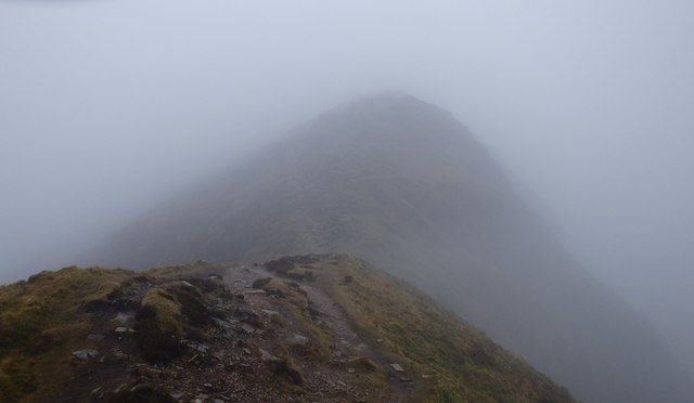
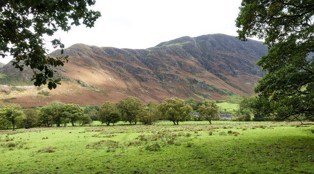
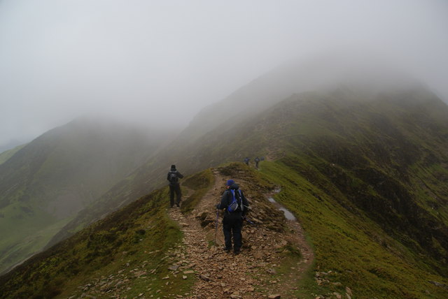
The hill is characterized by its rugged terrain, with rocky outcrops and steep slopes. It is covered in a mix of grasses, heather, and shrubs, providing a habitat for various species of wildlife. Aikin Knott is particularly popular among hikers and outdoor enthusiasts looking to explore the region's picturesque trails.

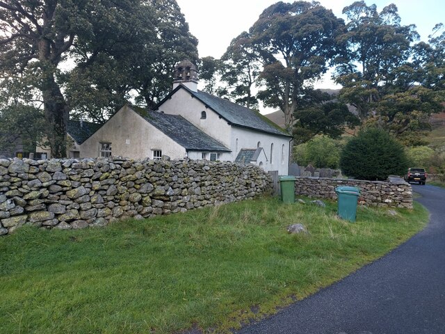
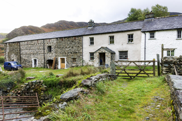
In addition to its natural beauty, Aikin Knott also holds historical significance. The hill is named after the Aikin family, who were landowners in the area during the medieval period. It is believed that the hill was used as a defensive position during times of conflict due to its strategic location and commanding views.

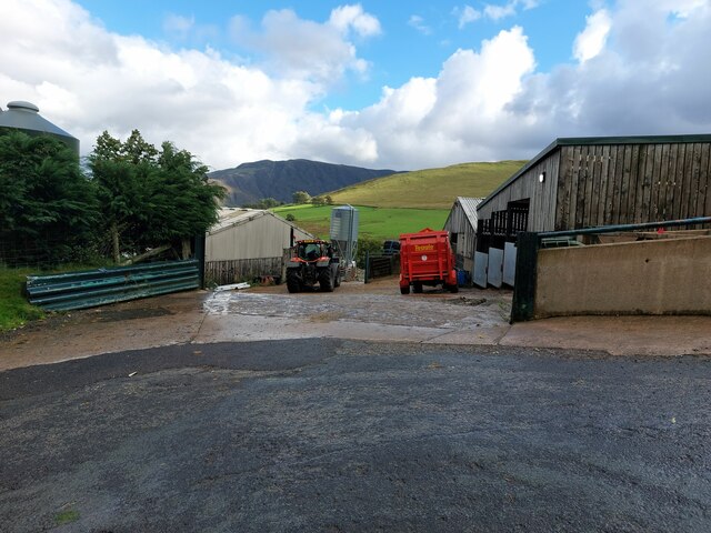
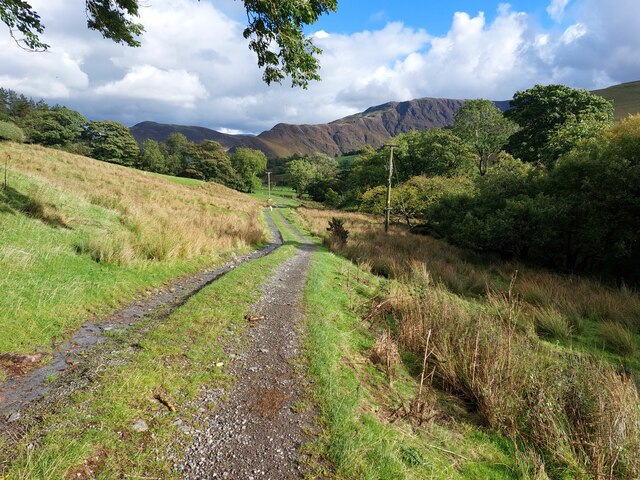
Visitors to Aikin Knott can enjoy a range of activities, including hiking, birdwatching, and photography. The hill is easily accessible from nearby towns and villages, with designated parking areas and well-maintained footpaths. Whether exploring the summit or simply taking in the panoramic vistas, Aikin Knott offers a memorable experience for nature lovers and history enthusiasts alike.

If you have any feedback on the listing, please let us know in the comments section below.

Aikin Knott Images

Images are sourced within 2km of 54.568334/-3.2154879 or Grid Reference NY2119. Thanks to Geograph Open Source API. All images are credited.

Approaching Sail Summit Another misty day on the fells
Approaching Sail Summit
Another misty day on the fells
Approaching The Scar Wind gusting but no ice to negotiate on The Scar
Approaching The Scar
Wind gusting but no ice to negotiate on The Scar
Path descending to Keskadale A rough path follows the ridge between Knott Rigg and the farm at Keskadale. The wider Newlands valley can be seen beyond the farm at the foot of the ridge.
Path descending to Keskadale
A rough path follows the ridge between Knott Rigg and the farm at Keskadale. The wider Newlands valley can be seen beyond the farm at the foot of the ridge.
Woodland below Ard Crags A large patch of woodland on the steep eastern side of the Ard Crags fell.
Woodland below Ard Crags
A large patch of woodland on the steep eastern side of the Ard Crags fell.
A sea of bracken above Keskadale The lower part of the ridge behind Kesdale Farm is covered in a sea of bracken, making the vague footpath down to the road difficult to follow.
A sea of bracken above Keskadale
The lower part of the ridge behind Kesdale Farm is covered in a sea of bracken, making the vague footpath down to the road difficult to follow.
Keskadale Farm Part of the relatively large and modern steading of Keskadale Farm.
Keskadale Farm
Part of the relatively large and modern steading of Keskadale Farm.
Public footpath towards Little Town A public footpath which connects keskadale and Little Town follows a farm track for a distance close to Keskadale Farm.
Public footpath towards Little Town
A public footpath which connects keskadale and Little Town follows a farm track for a distance close to Keskadale Farm.
Footbridge crossing Keskadale Beck The wooden footbridge carries a public footpath across Keskadale Beck. Ill Gill joins from the left. Both watercourses are carrying a large amount of water after recent heavy rain.
Footbridge crossing Keskadale Beck
The wooden footbridge carries a public footpath across Keskadale Beck. Ill Gill joins from the left. Both watercourses are carrying a large amount of water after recent heavy rain.
Grassland, Newlands Valley The public footpath connecting Little Town and Keskadale passes through several of the green pastures of Newlands Valley.
Grassland, Newlands Valley
The public footpath connecting Little Town and Keskadale passes through several of the green pastures of Newlands Valley.
Grazing land in Newlands Valley Rough ground in Newlands Valley. Keskadale Beck flows along the bottom of the valley in front of woodland in the distance.
Grazing land in Newlands Valley
Rough ground in Newlands Valley. Keskadale Beck flows along the bottom of the valley in front of woodland in the distance.
Pasture near High Snab Grass fields used for the grazing of sheep to the north of the farm at High Snab.
Pasture near High Snab
Grass fields used for the grazing of sheep to the north of the farm at High Snab.
Newlands Church The small church with attached former schoolroom in an isolated setting in the Newlands Valley.
Newlands Church
The small church with attached former schoolroom in an isolated setting in the Newlands Valley.
On Aikin Knott Hindscarth and Robinson are in cloud on the left, with Keskadale below. Knott Rigg is on the right.
On Aikin Knott
Hindscarth and Robinson are in cloud on the left, with Keskadale below. Knott Rigg is on the right.
The path from Scope end. Nearing the end of the walk.
The path from Scope end.
Nearing the end of the walk.
Low House Farm The run of buildings at Low House Farm viewed across a grass-covered footbridge which carries a public footpath.
Low House Farm
The run of buildings at Low House Farm viewed across a grass-covered footbridge which carries a public footpath.
Rough grazing with line of trees A view across farmland from the access road for the farms, High Snab and Low High Snab.
Maiden Moor is the hill in the distance.
Rough grazing with line of trees
A view across farmland from the access road for the farms, High Snab and Low High Snab. Maiden Moor is the hill in the distance.
Path between Knott Rigg and Ard Crags Looking along the ridge which joins the high points Knott Rigg and Ard Crags. The ridge from Sail to Causey Pike can be seen in the background.
Path between Knott Rigg and Ard Crags
Looking along the ridge which joins the high points Knott Rigg and Ard Crags. The ridge from Sail to Causey Pike can be seen in the background.
Crossing The Scar The col between Sail and Crag Hill.
Crossing The Scar
The col between Sail and Crag Hill.
Show me another place!

Aikin Knott is located at Grid Ref: NY2119 (Lat: 54.568334, Lng: -3.2154879)

Administrative County: Cumbria

District: Allerdale

Police Authority: Cumbria

What 3 Words

///unionists.campfires.firework. Near Keswick, Cumbria

Nearby Locations

Rigg Screes Aikin Knott

Related Wikis

Rowling End

Rowling End is a peak in the Lake District about 433 meters it is a steep slope leading up towards Causey Pike. It is briefly mentioned in books however...

Causey Pike

Causey Pike is a fell in the English Lake District. It is situated in the Newlands Valley, 5 kilometres (3 miles) south-west of the town of Keswick. Even...

Ard Crags

Ard Crags is a fell in the Lake District in Cumbria, England, it is situated in the Newlands Valley just off the minor road between Keswick and Buttermere...

Scar Crags

Scar Crags is a fell in the north western part of the English Lake District in the county of Cumbria. It is one of the Coledale group of fells situated...

Nearby Amenities

Located within 500m of 54.568334,-3.2154879
East Summit
Natural: peak
Lat/Long: 54.5690661/-3.2205961
Aikin Knott
Place: locality
Lat/Long: 54.5680058/-3.2147843
Aikin
Place: locality
Lat/Long: 54.5642775/-3.2157519
Passing Place
Lat/Long: 54.5643883/-3.2187003
The data included in this document is from www.openstreetmap.org. The data is made available under ODbL.

Have you been to Aikin Knott?

Leave your review of Aikin Knott below (or comments, questions and feedback).