White Hill
Hill, Mountain in Midlothian
Scotland
White Hill
White Hill is a prominent geographical feature located in Midlothian, Scotland. It is classified as a hill or mountain due to its elevation and steep slopes. Standing at approximately 400 meters above sea level, it offers breathtaking panoramic views of the surrounding area.
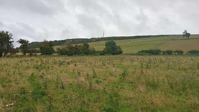
Situated in the southern part of Midlothian, White Hill is part of the Pentland Hills range. Its distinct white appearance is due to the patches of exposed white limestone that dot its surface, contrasting with the greenery of the surrounding landscape. The hill is covered in heather, grasses, and shrubs, providing a diverse habitat for various flora and fauna.
White Hill is a popular destination for outdoor enthusiasts and hikers, offering a range of trails for all levels of experience. The ascent to the summit can be challenging but rewarding, with stunning vistas of the Pentland Hills, Edinburgh, and the Firth of Forth. The hill is also home to several archaeological sites, including a prehistoric fort and burial mounds, adding historical significance to its natural beauty.
The area surrounding White Hill is rich in biodiversity, with birdwatchers often spotting species such as red grouse, skylarks, and peregrine falcons. Hikers may also encounter deer, rabbits, and various small mammals along their journey.
Whether it's for a leisurely stroll in nature, an invigorating hike, or a chance to immerse oneself in the region's history, White Hill offers a captivating experience for visitors and locals alike. With its stunning views, diverse wildlife, and archaeological significance, it is a true gem in the Midlothian landscape.
If you have any feedback on the listing, please let us know in the comments section below.
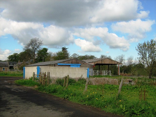
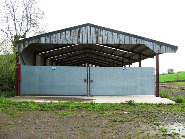
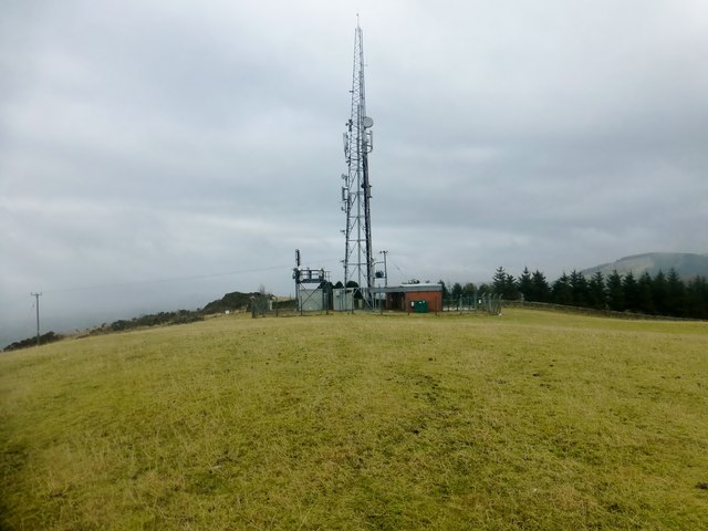
White Hill Images
Images are sourced within 2km of 55.89142/-3.2565593 or Grid Reference NT2167. Thanks to Geograph Open Source API. All images are credited.


White Hill is located at Grid Ref: NT2167 (Lat: 55.89142, Lng: -3.2565593)
Unitary Authority: City of Edinburgh
Police Authority: Edinburgh
What 3 Words
///passes.next.solo. Near Colinton, Edinburgh
Nearby Locations
Related Wikis

Bonaly
Bonaly () is an area on the south-western outskirts of Edinburgh and the northern slopes of the Pentland Hills, lying within the Parish of Colinton. It...
Torphin
Torphin ( tor-FIN) is a small area in the south-west of Edinburgh, Scotland, with its name deriving from the nearby Torphin Hill. It lies just south of...
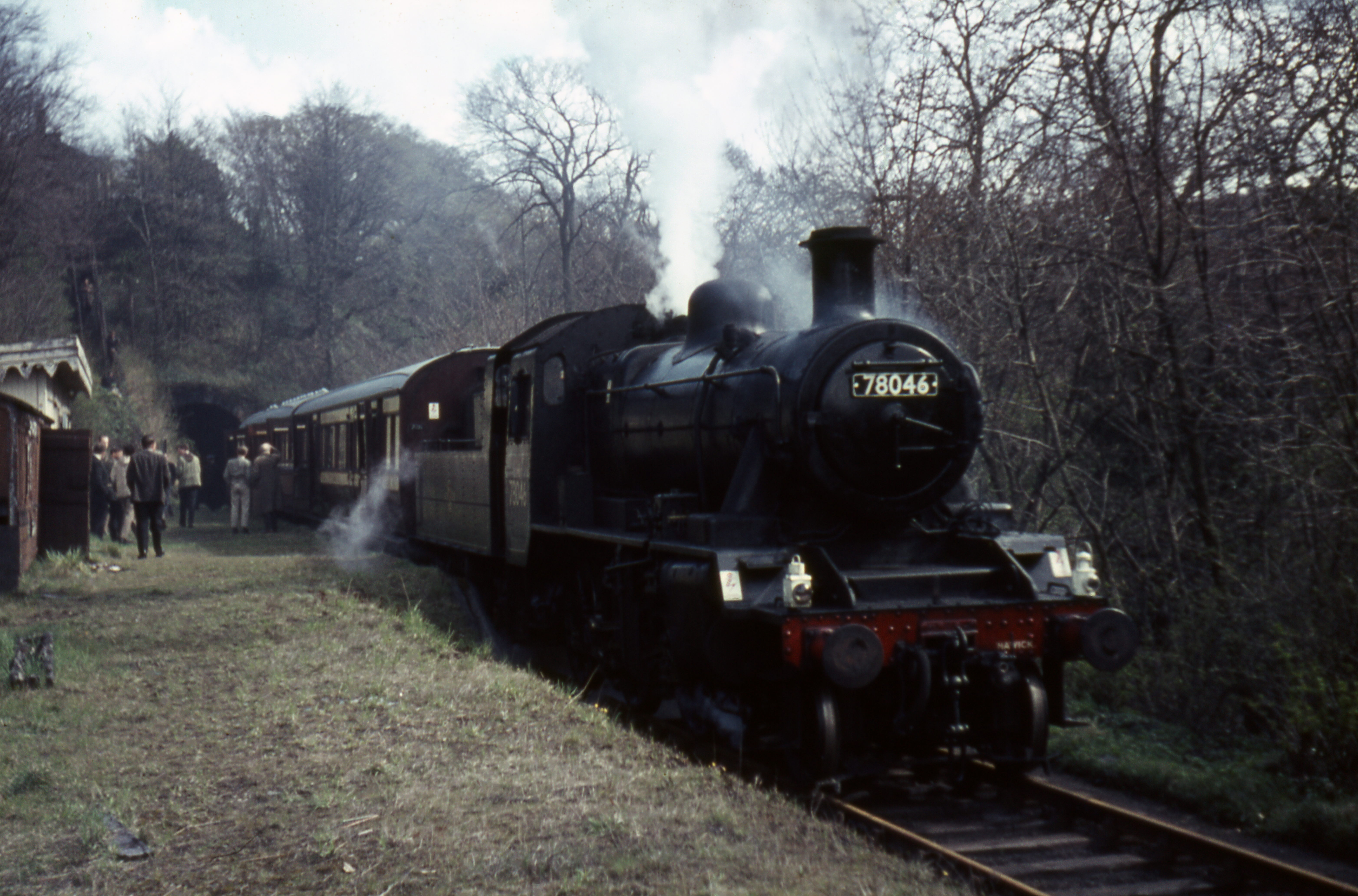
Colinton railway station
Colinton railway station was opened in 1874 and served the area of the then village of Colinton that now forms part of the city of Edinburgh, with Colinton...
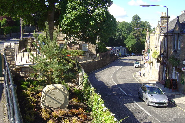
Colinton
Colinton (Scottish Gaelic: Baile Cholgain) is a suburb of Edinburgh, Scotland situated 3+1⁄2 miles (5.6 km) south-west of the city centre. Up until the...
Nearby Amenities
Located within 500m of 55.89142,-3.2565593Have you been to White Hill?
Leave your review of White Hill below (or comments, questions and feedback).