Black Meldon

Hill, Mountain in Peeblesshire

Scotland

Black Meldon

Hillside with sheep On the ridge above Haggin Hope, with mixed grass and boggy land.
Hillside with sheep Credit: Jim Barton

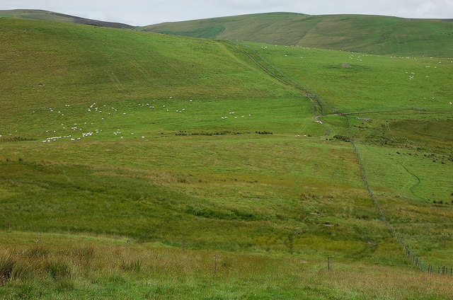
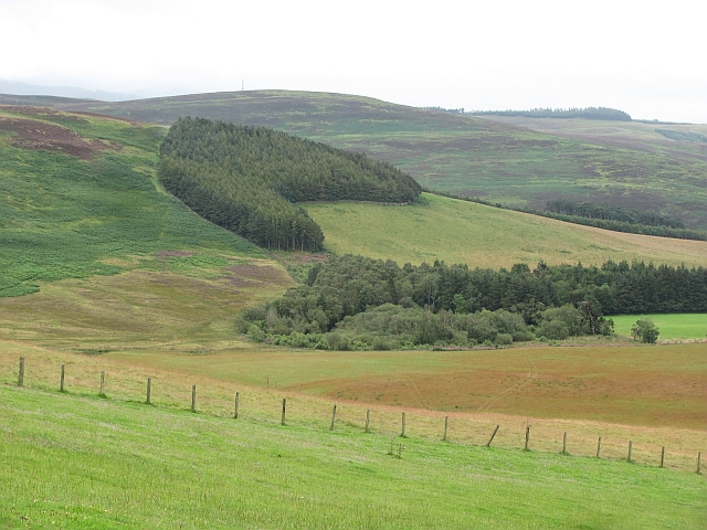
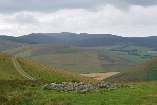
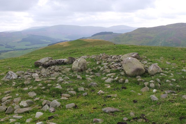
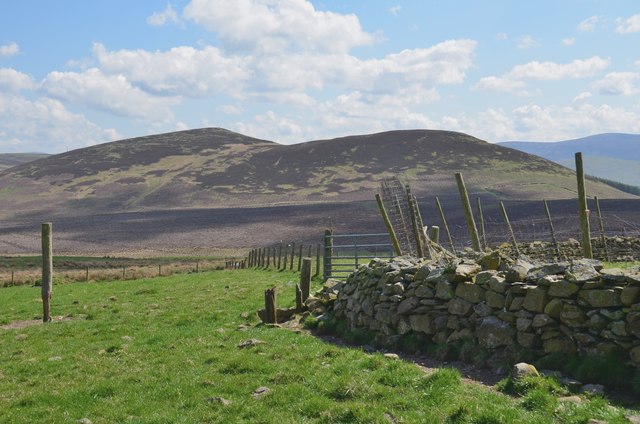
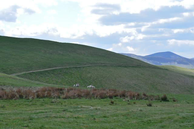
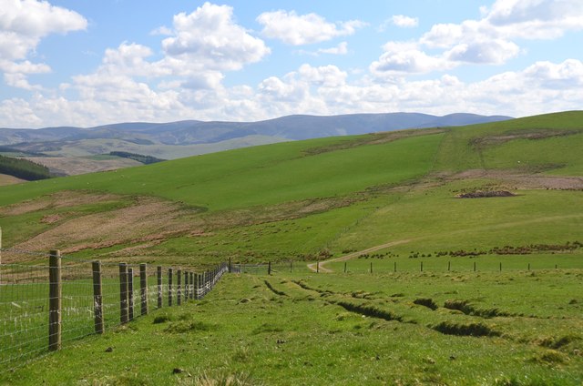
Black Meldon is a prominent hill located in Peeblesshire, Scotland. It is part of the Moffat Hills, which form an impressive range in the Southern Uplands. Standing at an elevation of approximately 604 meters (1982 feet), it offers breathtaking panoramic views of the surrounding landscape.

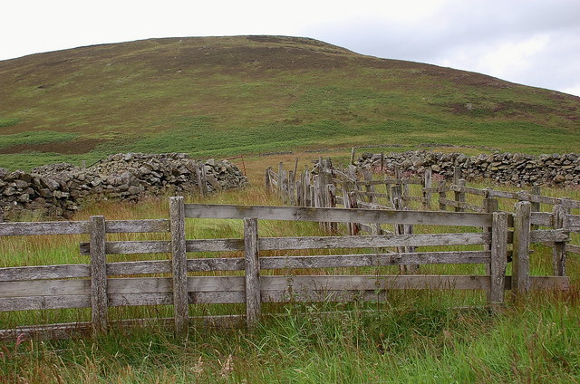
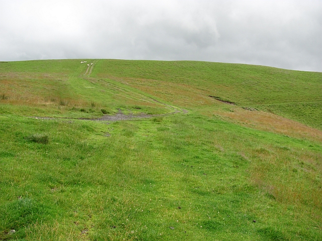
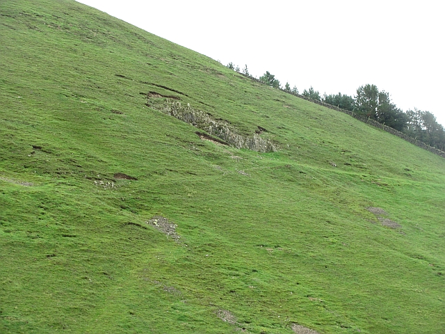
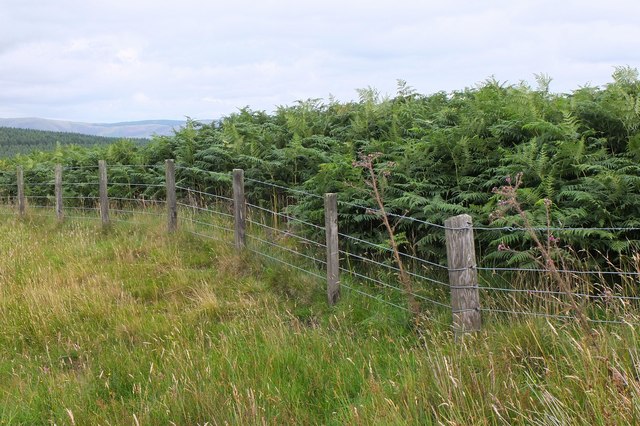
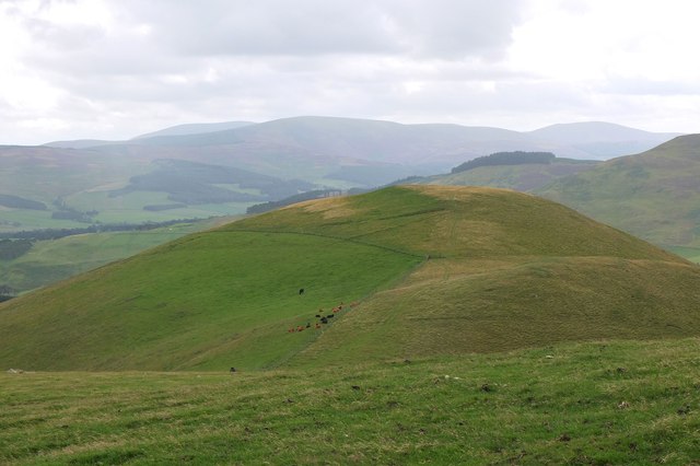
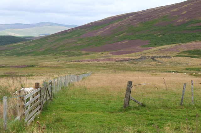
The hill is characterized by its steep ascents and rugged terrain, making it a popular destination for outdoor enthusiasts and hikers. It is often frequented by visitors who enjoy challenging hikes, as the climb to the summit can be physically demanding. The trail leading to the top is well-marked and offers a variety of routes suitable for different skill levels.

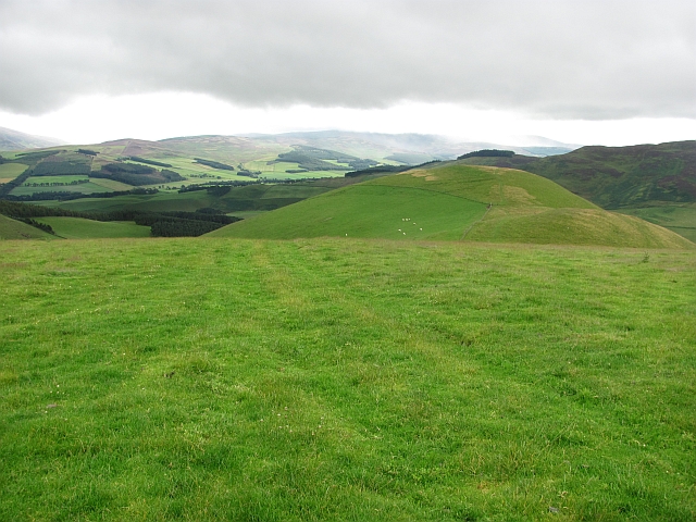
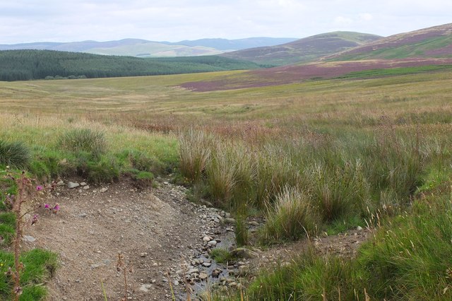
At the summit, hikers are rewarded with stunning vistas of the rolling hills, valleys, and other peaks dotting the landscape. On clear days, it is possible to see as far as the English border to the south and the Scottish Highlands to the north.

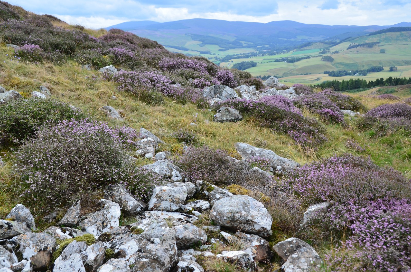
Nature enthusiasts will appreciate the diverse flora and fauna found on Black Meldon. The hill is home to a variety of plant species, including heather, moss, and wildflowers. It also provides habitat for various bird species, such as red grouse and peregrine falcons, which can be spotted soaring through the skies.

Overall, Black Meldon offers an exhilarating and challenging hiking experience, coupled with breathtaking views of the Scottish countryside. Whether one is seeking an adrenaline-fueled adventure or simply wishes to immerse themselves in the beauty of nature, Black Meldon is a must-visit destination in Peeblesshire.

If you have any feedback on the listing, please let us know in the comments section below.
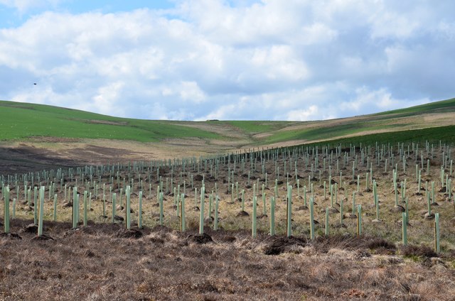
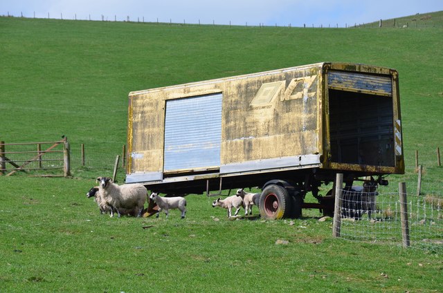
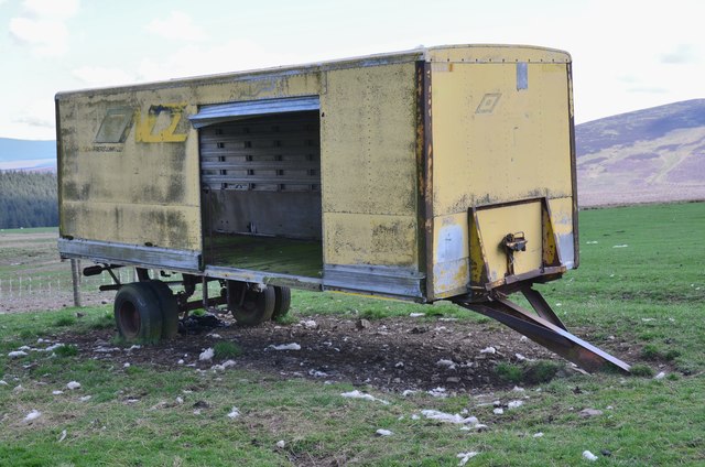
Black Meldon Images

Images are sourced within 2km of 55.669623/-3.2636221 or Grid Reference NT2042. Thanks to Geograph Open Source API. All images are credited.

Hillside with sheep On the ridge above Haggin Hope, with mixed grass and boggy land.
Hillside with sheep
On the ridge above Haggin Hope, with mixed grass and boggy land.
Old sheepfold below Black Meldon Wooden fencing within a larger area enclosed by a partly ruined stone wall.
Old sheepfold below Black Meldon
Wooden fencing within a larger area enclosed by a partly ruined stone wall.
Tracks, Hamildean Hill Farm tracks above Haggin Hope. The grassland has been improved by fertilising, and there are piles of manure on the hilltops ready for spreading.
Tracks, Hamildean Hill
Farm tracks above Haggin Hope. The grassland has been improved by fertilising, and there are piles of manure on the hilltops ready for spreading.
Hamildean Hill There is a fort marked as unfinished on Hamildean Hill.
Hamildean Hill
There is a fort marked as unfinished on Hamildean Hill.
Hare Stell Plantation Sheltering woodland above Lyne.
Hare Stell Plantation
Sheltering woodland above Lyne.
Quarry, Hamildean Hill A small quarry on the grassy flanks of Hamildean Hill.
Quarry, Hamildean Hill
A small quarry on the grassy flanks of Hamildean Hill.
Wall of bracken The fence separates cleared sheep pasture and a heavy growth of bracken, chest high and very hard work to penetrate, on the hillside NW of Black Meldon.
Wall of bracken
The fence separates cleared sheep pasture and a heavy growth of bracken, chest high and very hard work to penetrate, on the hillside NW of Black Meldon.
Moorland near Harehope The small burn in the foreground drains eastwards to the Lyne Burn, not to be confused with the much larger Lyne Water in a parallel valley. The summit to the right is White Meldon.
Moorland near Harehope
The small burn in the foreground drains eastwards to the Lyne Burn, not to be confused with the much larger Lyne Water in a parallel valley. The summit to the right is White Meldon.
Above Haggin Hope A view across the valley of the Lyne Water to Hog Hill and the forestry on Woolshears Hill, seen from the ridge N of Hamildean Hill.
Above Haggin Hope
A view across the valley of the Lyne Water to Hog Hill and the forestry on Woolshears Hill, seen from the ridge N of Hamildean Hill.
Summit spot height 398m by Hamildean Hill Hamildean Hill itself is the rounded top straight ahead. In the distance are the hills above Stobo and Dawyck.
Summit spot height 398m by Hamildean Hill
Hamildean Hill itself is the rounded top straight ahead. In the distance are the hills above Stobo and Dawyck.
Hamildean Hill A rounded grassy hill, 386m height, above the valley of the Lyne Water. On its summit is an unfinished hill fort; it is thought that work on the fort was halted by the arrival of the Roman army who built several forts in the valley below - see <span class="nowrap"><a title="http://canmore.rcahms.gov.uk/en/site/50071/details/hamildean+hill/" rel="nofollow ugc noopener" href="http://canmore.rcahms.gov.uk/en/site/50071/details/hamildean+hill/">Link</a><img style="margin-left:2px;" alt="External link" title="External link - shift click to open in new window" src="https://s1.geograph.org.uk/img/external.png" width="10" height="10"/></span>.
Hamildean Hill
A rounded grassy hill, 386m height, above the valley of the Lyne Water. On its summit is an unfinished hill fort; it is thought that work on the fort was halted by the arrival of the Roman army who built several forts in the valley below - see LinkExternal link.
Approaching the old sheepfold, Black Meldon Colourful heather and deep bracken clothe the slopes of Black Meldon at this time of year.
Approaching the old sheepfold, Black Meldon
Colourful heather and deep bracken clothe the slopes of Black Meldon at this time of year.
Tree plantation west of Black Meldon Broadleaved trees at the edge of a new coniferous plantation on the slopes of Black Meldon.
Tree plantation west of Black Meldon
Broadleaved trees at the edge of a new coniferous plantation on the slopes of Black Meldon.
Old NCL trailer near Black Meldon The farmer here has set up several old National Carriers Ltd trailers on the hillside as storage for sheep feed. See also <a href="https://www.geograph.org.uk/photo/2502251">NT1843 : Storage trailers above Deep Hope</a> in the adjoining square. NCL was an amalgamation of road transport companies that followed the formation of British Railways post-war.
Old NCL trailer near Black Meldon
The farmer here has set up several old National Carriers Ltd trailers on the hillside as storage for sheep feed. See also NT1843 : Storage trailers above Deep Hope in the adjoining square. NCL was an amalgamation of road transport companies that followed the formation of British Railways post-war.
Old NCL trailer near Black Meldon (2) Another view of the old trailer shown in <a href="https://www.geograph.org.uk/photo/6137088">NT1943 : Old NCL trailer near Black Meldon</a>. This hillside must be a paradise for those with an interest in such vehicles, with at least 6 of them on display.
Old NCL trailer near Black Meldon (2)
Another view of the old trailer shown in NT1943 : Old NCL trailer near Black Meldon. This hillside must be a paradise for those with an interest in such vehicles, with at least 6 of them on display.
Black Meldon from the sheepfold The two summits of the heathery hill seen from the hillside to the northwest.
Black Meldon from the sheepfold
The two summits of the heathery hill seen from the hillside to the northwest.
Hillside north of Hamildean Hill Grassy sheepwalks on the ridge east of the Lyne Water. Penvalla is the peak on the right.
Hillside north of Hamildean Hill
Grassy sheepwalks on the ridge east of the Lyne Water. Penvalla is the peak on the right.
Hill pasture north of Hamildean Hill On the 396m spot height on the ridge running north from Hamildean Hill.
Hill pasture north of Hamildean Hill
On the 396m spot height on the ridge running north from Hamildean Hill.
Show me another place!

Black Meldon is located at Grid Ref: NT2042 (Lat: 55.669623, Lng: -3.2636221)

Unitary Authority: The Scottish Borders

Police Authority: The Lothians and Scottish Borders

What 3 Words

///umpires.fight.skidding. Near Peebles, Scottish Borders

Nearby Locations

Black Meldon

Related Wikis

Black Meldon

Black Meldon is a prehistoric site, a hillfort near the village of Lyne and about 4 miles (6 km) west of Peebles, in the Scottish Borders, Scotland. It...

White Meldon

White Meldon is a prehistoric site, a hillfort near the village of Lyne and about 4 miles (6 km) west of Peebles, in the Scottish Borders, Scotland. It...

Lyne, Scottish Borders

Lyne (Scottish Gaelic: An Lainn) is a small village and civil parish in the Scottish Borders area of Scotland, 4 miles (6.4 km) west of the market town...

Lyne Kirk

Lyne Kirk is an ancient and historic kirk or church, of the Church of Scotland. It is situated on top of a mound adjacent to the A72 trunk route 4.5 miles...

Nearby Amenities

Located within 500m of 55.669623,-3.2636221
Black Meldon
Donald: no
Ele: 407
Graham: no
Munro: no
Natural: peak
Lat/Long: 55.6703492/-3.2632047
Ele: 396
Natural: peak
Lat/Long: 55.6688988/-3.2707039
The data included in this document is from www.openstreetmap.org. The data is made available under ODbL.

Have you been to Black Meldon?

Leave your review of Black Meldon below (or comments, questions and feedback).