Nowt Hill
Hill, Mountain in Selkirkshire
Scotland
Nowt Hill

Nowt Hill is a prominent hill located in Selkirkshire, a historic county in the southern part of Scotland. Situated near the town of Selkirk, this hill serves as a significant landmark in the region, offering stunning panoramic views of the surrounding landscape.
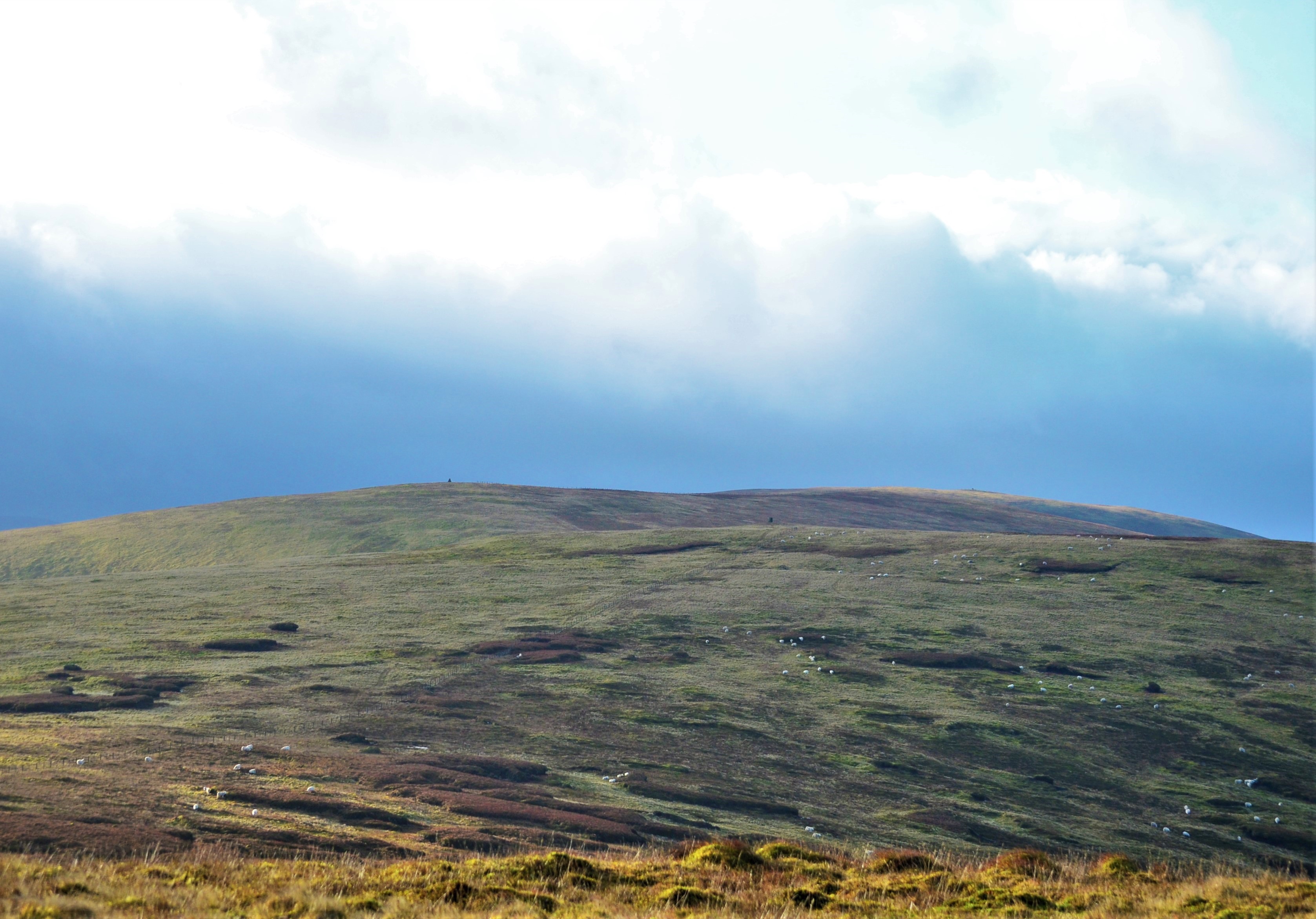
Reaching an elevation of approximately 395 meters (1,296 feet), Nowt Hill stands as a prominent feature in the local topography. The hill is characterized by its distinct conical shape, with a relatively steep incline that provides hikers and nature enthusiasts with a challenging but rewarding ascent.
Covered in lush greenery, Nowt Hill offers a diverse range of flora and fauna, making it an ideal destination for nature lovers. The hill is home to various species of birds, mammals, and plants, creating a rich and vibrant ecosystem.
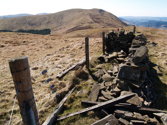
The ascent to the summit of Nowt Hill is facilitated by well-maintained trails, ensuring a safe and enjoyable experience for visitors. The summit rewards climbers with breathtaking views of the surrounding Selkirkshire countryside, with rolling hills, meandering rivers, and picturesque villages dotting the landscape.
Nowt Hill holds cultural and historical significance as well. It has been a popular site for recreational activities such as hillwalking and orienteering, attracting both locals and tourists alike. The hill also offers a glimpse into the region's past, with ancient ruins and archaeological sites scattered across its slopes, providing a fascinating insight into the area's rich history.
In conclusion, Nowt Hill is a prominent and picturesque hill in Selkirkshire, offering stunning views, diverse wildlife, and a connection to the region's heritage. It is a must-visit destination for those seeking natural beauty and a sense of tranquility in the Scottish countryside.
If you have any feedback on the listing, please let us know in the comments section below.
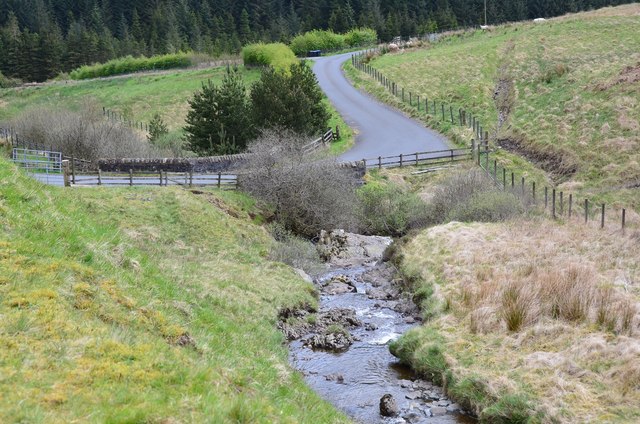
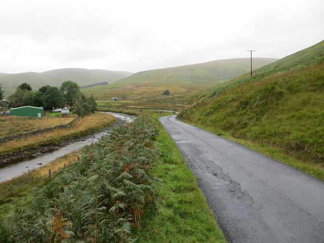
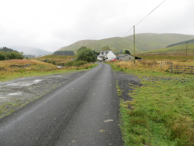
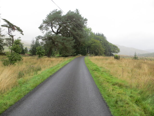
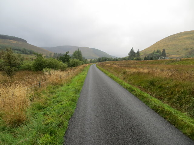
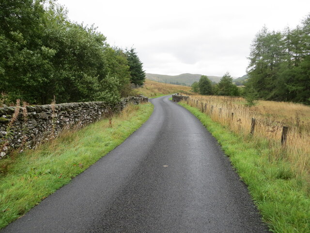
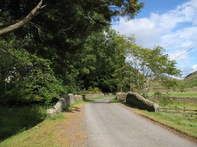
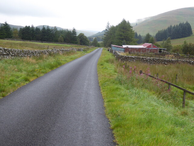
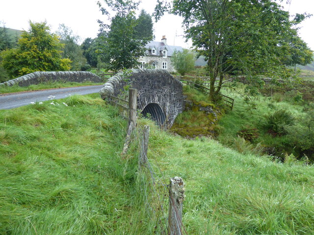
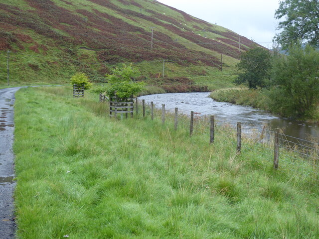
Nowt Hill Images
Images are sourced within 2km of 55.39296/-3.254686 or Grid Reference NT2011. Thanks to Geograph Open Source API. All images are credited.


Nowt Hill is located at Grid Ref: NT2011 (Lat: 55.39296, Lng: -3.254686)
Unitary Authority: The Scottish Borders
Police Authority: The Lothians and Scottish Borders
What 3 Words
///slams.clubbing.disprove. Near Ettrick, Scottish Borders
Nearby Locations
Related Wikis
Andrewhinney Hill
Andrewhinney Hill is a hill in the Ettrick Hills range, part of the Southern Uplands of Scotland. It is the highest summit of a ridge that runs parallel...

Southern Uplands
The Southern Uplands (Scottish Gaelic: Na Monaidhean a Deas) are the southernmost and least populous of mainland Scotland's three major geographic areas...

Grey Mare's Tail, Moffat Hills
Grey Mare's Tail is a 60-metre (200 ft) hanging valley waterfall near to Moffat in southern Scotland. The fall is produced by the Tail Burn flowing from...
Bodesbeck Law
Bodesbeck Law is a hill in the Ettrick Hills range, part of the Southern Uplands of Scotland. It is the primary west-south-western terminus of the ridge...
Have you been to Nowt Hill?
Leave your review of Nowt Hill below (or comments, questions and feedback).