Craigend Hill
Hill, Mountain in Fife
Scotland
Craigend Hill
Craigend Hill is a prominent hill located in Fife, Scotland. Standing at an elevation of 178 meters (584 feet), it offers stunning panoramic views of the surrounding countryside. Situated about 4 kilometers northeast of the town of Markinch, it is a popular destination for hikers, nature enthusiasts, and local residents seeking outdoor recreation.
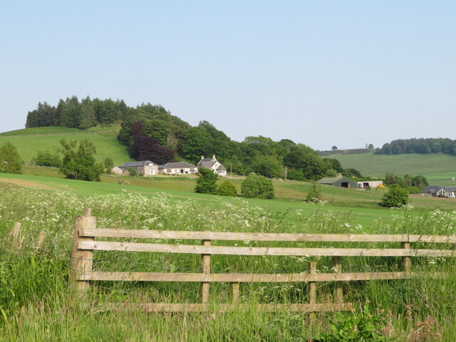
The hill is characterized by its gentle slopes and a distinct rounded summit. It is primarily covered in grass and heather, with scattered areas of woodland. The hillside is home to a variety of flora and fauna, including wildflowers, ferns, and small mammals.
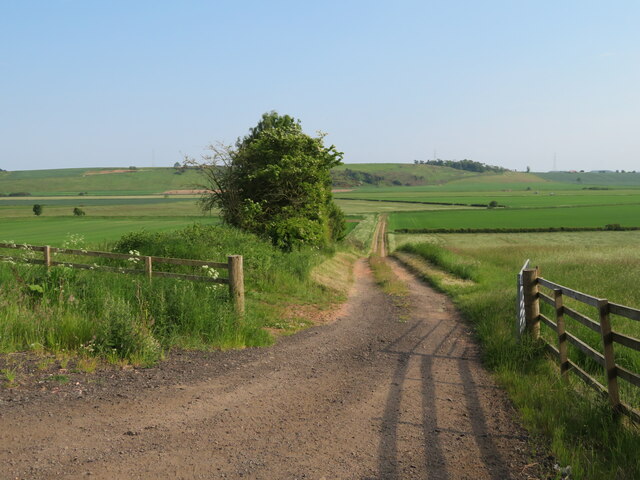
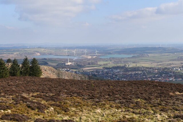
A well-maintained footpath leads visitors to the summit, making it accessible to hikers of all skill levels. The ascent takes approximately 30 minutes, offering a pleasant and relatively easy walk. On a clear day, the view from the top is breathtaking, encompassing the Firth of Forth, nearby towns, and the rolling landscape of Fife.
Craigend Hill also holds historical significance. Ruins of an Iron Age hillfort can be found near the summit, adding an extra layer of interest for those interested in history and archaeology.
Overall, Craigend Hill in Fife provides a fantastic opportunity to enjoy the outdoors, take in beautiful scenery, and explore a piece of Scotland's ancient past.
If you have any feedback on the listing, please let us know in the comments section below.
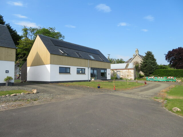
Craigend Hill Images
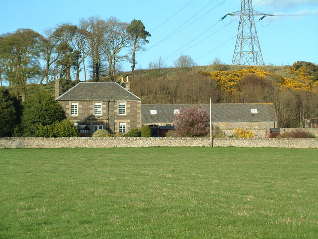
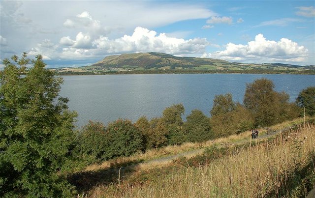
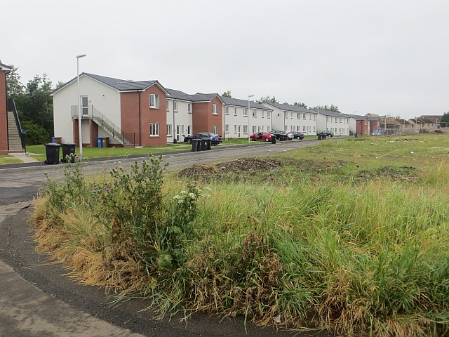
Images are sourced within 2km of 56.184291/-3.2845146 or Grid Reference NT2099. Thanks to Geograph Open Source API. All images are credited.


Craigend Hill is located at Grid Ref: NT2099 (Lat: 56.184291, Lng: -3.2845146)
Unitary Authority: Fife
Police Authority: Fife
What 3 Words
///abstracts.mess.compacts. Near Kinglassie, Fife
Nearby Locations
Related Wikis
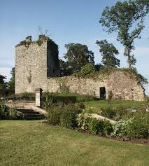
Arnot Tower
Arnot Tower is a ruined 16th-century castle located in the grounds of Arnot Tower House, less than 1 mile (1.6 km) from Scotlandwell, Perth and Kinross...

Fife power station
Fife power station was a 120 megawatt gas-fired combined cycle gas turbine generating station at Cardenden in Fife, Scotland. It was a 1+1 configuration...

Scotlandwell
Scotlandwell is a village in Portmoak, Kinross-shire, Scotland. It is within the Perth and Kinross council area. It lies to the east of Loch Leven, at...
Portmoak
Portmoak is a parish in Kinross-shire, Scotland. It consists of a group of settlements running north to south: Glenlomond, Wester Balgedie, Easter Balgedie...

Benarty
Benarty is the name informally used to refer to the ex-mining towns of Ballingry and Lochore and the villages of Crosshill, Lochcraig and Glencraig. The...

Kinglassie
Kinglassie (Scottish Gaelic: Cill Ghlaise) is a small village and parish in central Fife, Scotland. It is located two miles southwest of Glenrothes. It...
Lochore
Lochore is a former mining village in Fife, Scotland. It takes its name from the nearby Loch Ore. It is largely joined to the adjacent villages of Ballingry...
Fife Airport
Fife Airport (ICAO: EGPJ) (Scottish Gaelic: Port-adhair Fìobha) is an unlicensed aerodrome located 2 nautical miles (3.7 km; 2.3 mi) west of Glenrothes...
Nearby Amenities
Located within 500m of 56.184291,-3.2845146Have you been to Craigend Hill?
Leave your review of Craigend Hill below (or comments, questions and feedback).