Craigend Hill Plantation
Wood, Forest in Fife
Scotland
Craigend Hill Plantation
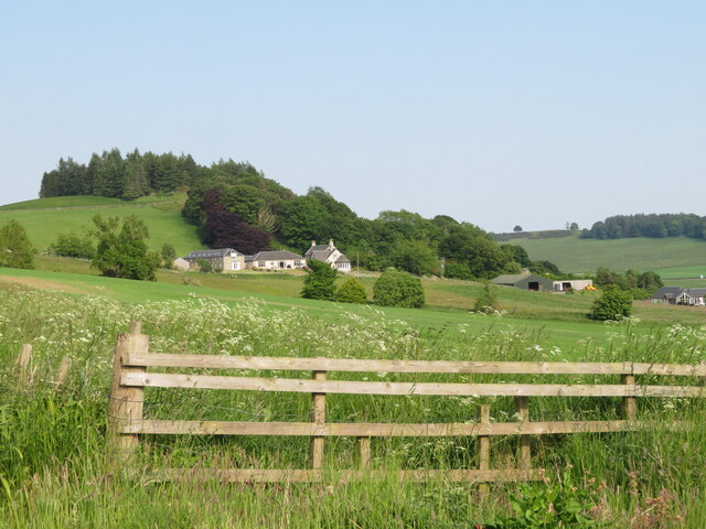
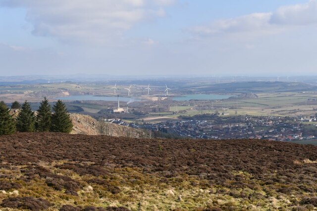
Craigend Hill Plantation is a vast woodland area located in Fife, Scotland. Covering an extensive area of approximately 500 hectares, the plantation is situated on the southern slopes of Craigend Hill, offering breathtaking panoramic views of the surrounding countryside.
The plantation predominantly consists of dense coniferous forests, with various species of trees such as Scots pine, Sitka spruce, and Douglas fir dominating the landscape. These towering trees provide a serene and tranquil atmosphere, making it an ideal destination for nature enthusiasts, hikers, and wildlife lovers.
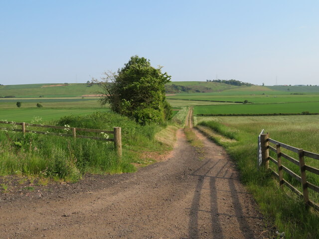
The woodland is crisscrossed by a network of well-maintained trails, allowing visitors to explore the plantation at their own pace. As they wander through the forest, visitors may encounter a diverse range of flora and fauna. The forest floor is adorned with an array of vibrant wildflowers during the spring and summer months, while numerous species of birds, including woodpeckers and red kites, can be spotted flying overhead.
Craigend Hill Plantation also serves as an important habitat for various wildlife species. Roe deer, foxes, and badgers are regularly sighted, and the plantation provides a safe haven for many small mammals and insects. The woodland management practices in the plantation aim to balance conservation with sustainable timber production, ensuring the long-term ecological health of the area.
Overall, Craigend Hill Plantation offers a peaceful retreat in the heart of Fife, with its rich biodiversity and stunning landscapes providing a haven for both nature enthusiasts and those seeking solace in the beauty of the Scottish countryside.
If you have any feedback on the listing, please let us know in the comments section below.
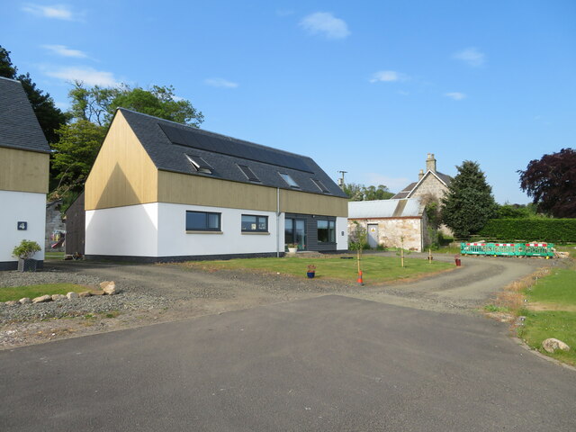
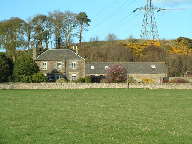
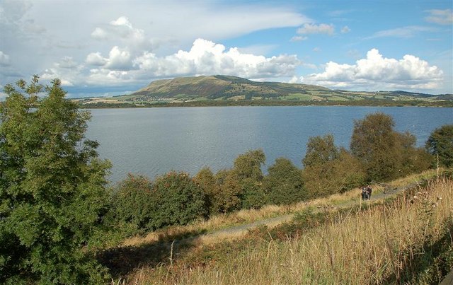
Craigend Hill Plantation Images
Images are sourced within 2km of 56.185758/-3.2860943 or Grid Reference NT2099. Thanks to Geograph Open Source API. All images are credited.


Craigend Hill Plantation is located at Grid Ref: NT2099 (Lat: 56.185758, Lng: -3.2860943)
Unitary Authority: Fife
Police Authority: Fife
What 3 Words
///shaky.jumpy.puddings. Near Kinglassie, Fife
Nearby Locations
Related Wikis
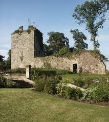
Arnot Tower
Arnot Tower is a ruined 16th-century castle located in the grounds of Arnot Tower House, less than 1 mile (1.6 km) from Scotlandwell, Perth and Kinross...

Fife power station
Fife power station was a 120 megawatt gas-fired combined cycle gas turbine generating station at Cardenden in Fife, Scotland. It was a 1+1 configuration...

Scotlandwell
Scotlandwell is a village in Portmoak, Kinross-shire, Scotland. It is within the Perth and Kinross council area. It lies to the east of Loch Leven, at...
Portmoak
Portmoak is a parish in Kinross-shire, Scotland. It consists of a group of settlements running north to south: Glenlomond, Wester Balgedie, Easter Balgedie...
Nearby Amenities
Located within 500m of 56.185758,-3.2860943Have you been to Craigend Hill Plantation?
Leave your review of Craigend Hill Plantation below (or comments, questions and feedback).