Hunter Hill
Hill, Mountain in Peeblesshire
Scotland
Hunter Hill
Hunter Hill is a prominent geographical feature located in Peeblesshire, which is a historic county located in the southern region of Scotland. Standing at an elevation of approximately 355 meters (1,165 feet), it is classified as a hill rather than a mountain due to its moderate height. Hunter Hill is situated within the stunning landscape of the Scottish Borders, known for its rolling hills, picturesque valleys, and vast expanses of moorland.
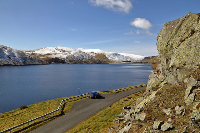
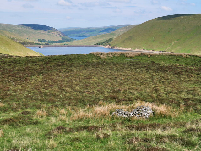
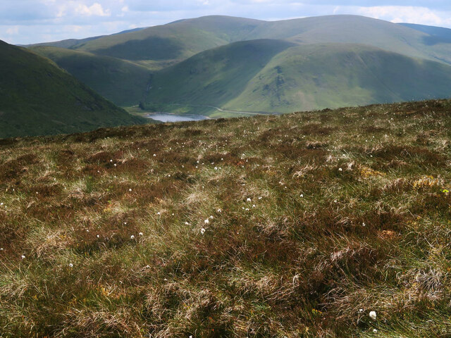
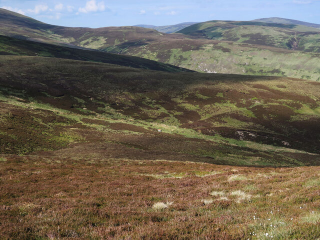
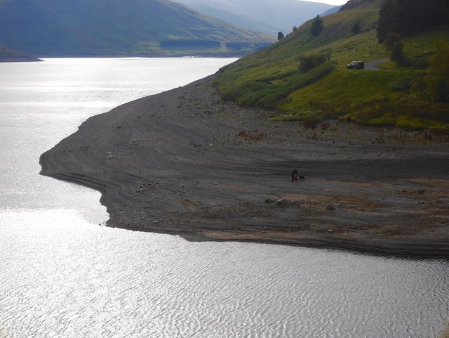
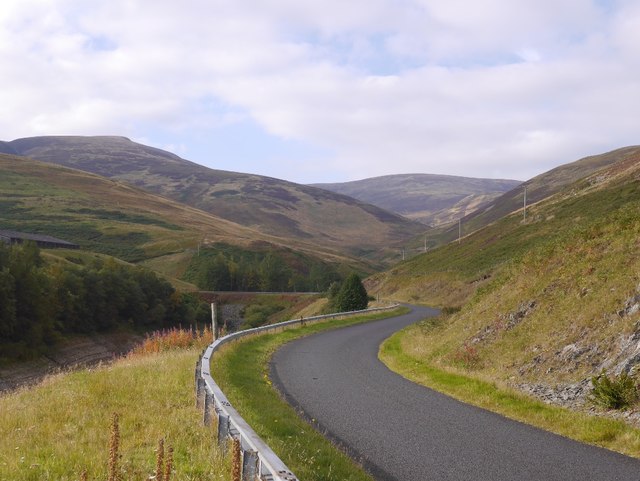
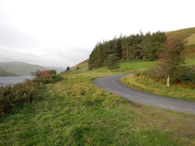
The hill offers breathtaking views of the surrounding countryside, making it a popular destination for hikers, nature enthusiasts, and photographers. Its location near the village of Eddleston allows for convenient access, with several well-marked trails leading to the summit. The terrain consists of grassy slopes, heather-covered moorland, and occasional rocky outcrops, providing a diverse and interesting hiking experience.
Hunter Hill is home to a variety of flora and fauna, including heather, gorse, wildflowers, and various species of birds and small mammals. During the summer months, the hillside bursts into vibrant colors, creating a picturesque scene against the backdrop of the Scottish countryside.
Historically, Hunter Hill played a significant role in the region, acting as a landmark for local communities and travelers. Its prominence in the landscape has made it an important reference point for navigation and orientation.
Overall, Hunter Hill is an attractive and accessible natural feature in Peeblesshire, offering visitors the opportunity to experience Scotland's stunning scenery and immerse themselves in the tranquility of the countryside.
If you have any feedback on the listing, please let us know in the comments section below.
Hunter Hill Images
Images are sourced within 2km of 55.496751/-3.2677357 or Grid Reference NT2023. Thanks to Geograph Open Source API. All images are credited.


Hunter Hill is located at Grid Ref: NT2023 (Lat: 55.496751, Lng: -3.2677357)
Unitary Authority: The Scottish Borders
Police Authority: The Lothians and Scottish Borders
What 3 Words
///vandalism.engineers.swung. Near Ettrick, Scottish Borders
Nearby Locations
Related Wikis

Megget
Megget is a former chapelry or parish containing the valley of Megget Water, now forming the westernmost part of the parish of Yarrow, Selkirkshire in...

Craigierig
Craigierig is a village on the Megget Reservoir, in the Scottish Borders area of Scotland, in the former Selkirkshire. Places nearby include the Glengaber...

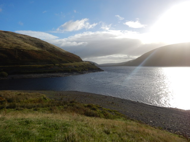
Megget Reservoir
Megget Reservoir is an impounding reservoir in the Megget valley in Ettrick Forest, in the Scottish Borders. The 259 hectares (640 acres) reservoir is...

Cappercleuch
Cappercleuch is a settlement on the A708, at St. Mary's Loch in the Scottish Borders area of Scotland, in the historic county of Selkirkshire. Places nearby...
Nearby Amenities
Located within 500m of 55.496751,-3.2677357Have you been to Hunter Hill?
Leave your review of Hunter Hill below (or comments, questions and feedback).